Brockley's Wood

Wood, Forest in Suffolk East Suffolk

England

Brockley's Wood

Recently-sown fields south of Skouldings
Recently-sown fields south of Skouldings Credit: Christopher Hilton

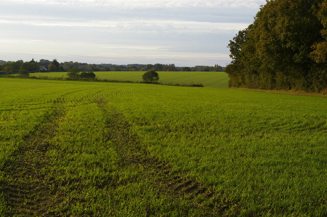
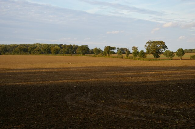
Brockley's Wood is a charming woodland located in Suffolk, England. With an area of approximately 100 acres, it is a popular destination for nature enthusiasts and those seeking tranquility amidst nature's beauty. The wood is situated near the village of Brockley, which adds to its accessibility and appeal.

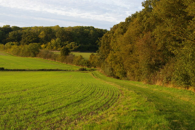
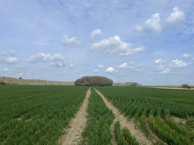
The woodland is primarily composed of native broadleaf trees such as oak, beech, and birch, creating a diverse and vibrant ecosystem. Walking through the wood, visitors can witness the changing colors of the leaves throughout the seasons, from the fresh greens of spring to the golden hues of autumn.

Brockley's Wood offers a variety of walking trails that wind through the dense foliage, providing ample opportunities for exploration and wildlife spotting. The wood is home to an array of flora and fauna, including deer, foxes, badgers, and a wide range of bird species. Birdwatchers will be delighted by the chance to spot woodpeckers, owls, and various songbirds in their natural habitat.

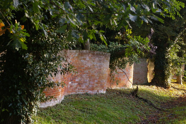
Besides its natural beauty, Brockley's Wood also holds historical significance. It was once part of a larger medieval hunting forest and remnants of this past can still be seen today. The wood is dotted with ancient trees, some of which are believed to be several hundred years old, adding a sense of awe and wonder to the surroundings.

Overall, Brockley's Wood offers a peaceful retreat for visitors, combining natural splendor with a touch of history. Whether one seeks a leisurely stroll amidst the trees or wishes to immerse themselves in the diverse wildlife, this woodland is a hidden gem waiting to be discovered in the heart of Suffolk.

If you have any feedback on the listing, please let us know in the comments section below.

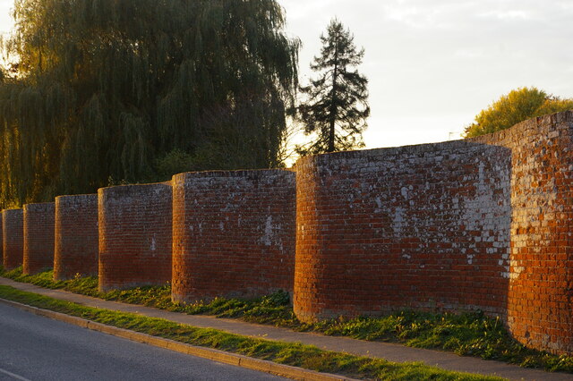
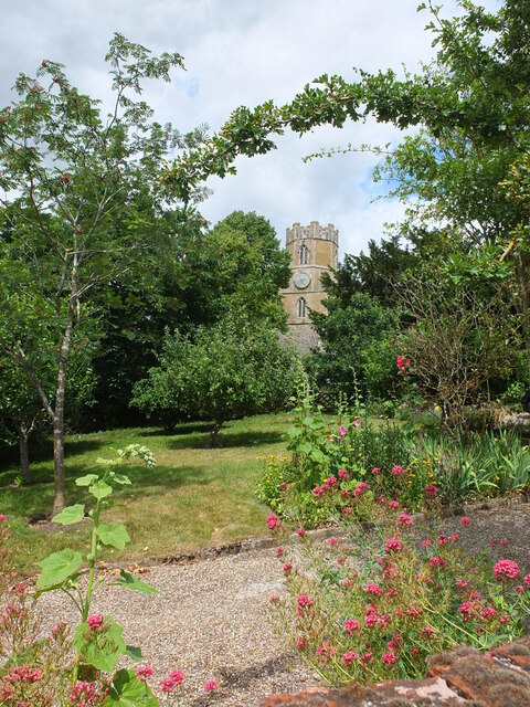
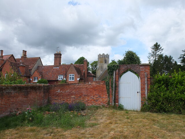
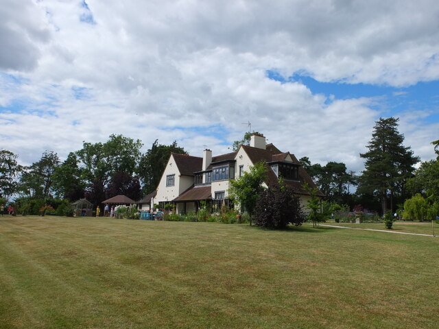
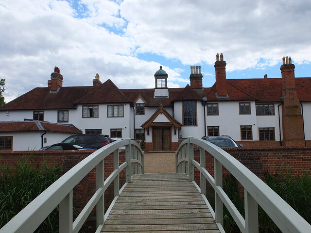
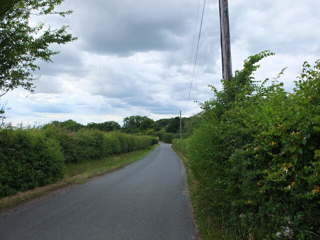
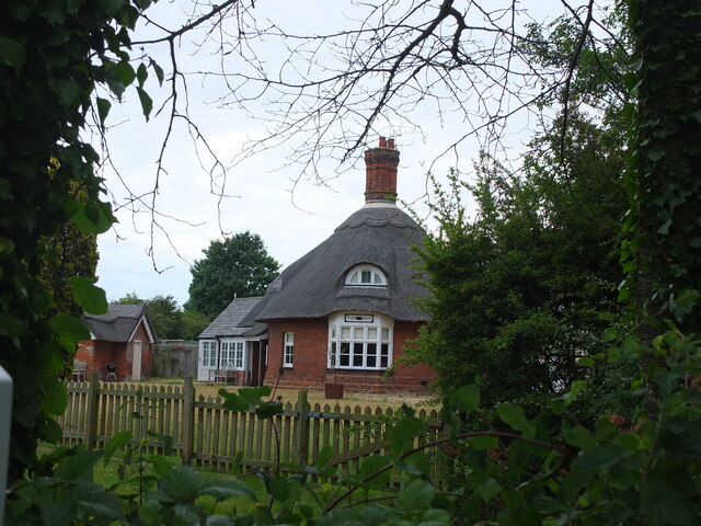
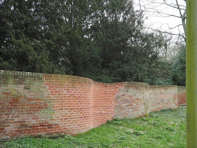
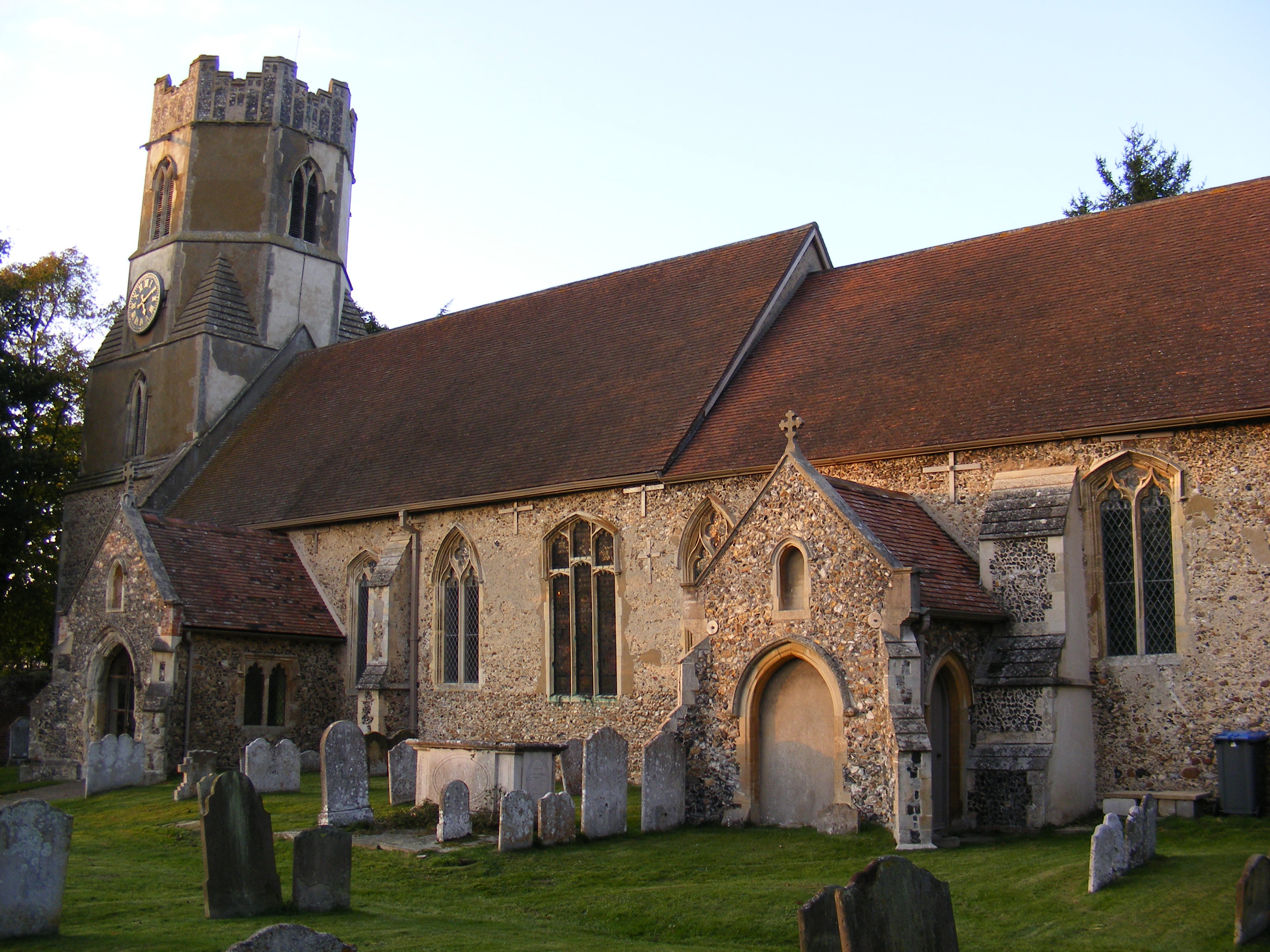
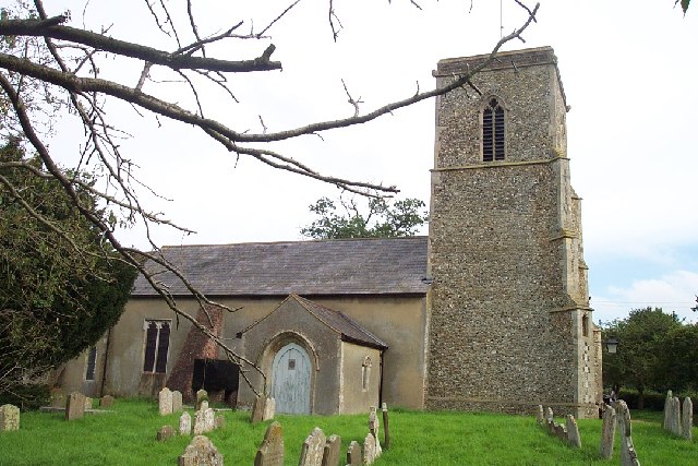
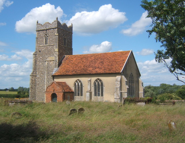
Brockley's Wood Images

Images are sourced within 2km of 52.183117/1.355105 or Grid Reference TM2959. Thanks to Geograph Open Source API. All images are credited.

Recently-sown fields south of Skouldings
Path dropping into valley south of Skouldings
Crinkle-crankle wall down the west side of Easton Park
Field north of Ash Grove The woodland on the far side of the field has, according to the map, the strange name of  Belle and Gertie.
Field north of Ash Grove
The woodland on the far side of the field has, according to the map, the strange name of Belle and Gertie.
Crinkle-crankle wall down the south side of Easton Park
Field south of Old Hall
School Lane, Easton Pictured on Easton Open Gardens Day 2022
School Lane, Easton
Pictured on Easton Open Gardens Day 2022
Easton church tower Taken on Easton Open Gardens Day 2022
Easton church tower
Taken on Easton Open Gardens Day 2022
Easton church tower and The Old Rectory Seen from a nearby garden during Easton Open Gardens Day 2022
Easton church tower and The Old Rectory
Seen from a nearby garden during Easton Open Gardens Day 2022
Easton Hall A fine arts and crafts style house with beautiful gardens. Taken on Easton Open Gardens Day 2022
Easton Hall
A fine arts and crafts style house with beautiful gardens. Taken on Easton Open Gardens Day 2022
Martley Hall Looking towards the hall across the bridge which crosses the moat. Taken on Easton Open Gardens Day 2022. Martley Hall is currently run as a stud farm and also offers accommodation: <span class="nowrap"><a title="https://www.martleyhall.co.uk/" rel="nofollow ugc noopener" href="https://www.martleyhall.co.uk/">Link</a><img style="margin-left:2px;" alt="External link" title="External link - shift click to open in new window" src="https://s1.geograph.org.uk/img/external.png" width="10" height="10"/></span>
Martley Hall
Looking towards the hall across the bridge which crosses the moat. Taken on Easton Open Gardens Day 2022. Martley Hall is currently run as a stud farm and also offers accommodation: LinkExternal link
Framlingham Road, Easton
The Round House, Easton A Grade II listed former estate cottage: <span class="nowrap"><a title="https://britishlistedbuildings.co.uk/101199061-the-round-house-easton" rel="nofollow ugc noopener" href="https://britishlistedbuildings.co.uk/101199061-the-round-house-easton">Link</a><img style="margin-left:2px;" alt="External link" title="External link - shift click to open in new window" src="https://s1.geograph.org.uk/img/external.png" width="10" height="10"/></span>
The Round House, Easton
A Grade II listed former estate cottage: LinkExternal link
New houses on the edge of Easton Looking north from Hacheston Road.  The houses in the foreground are the historic Lowbarn Cottages and behind is the recent housing development of Skylark Rise.
New houses on the edge of Easton
Looking north from Hacheston Road. The houses in the foreground are the historic Lowbarn Cottages and behind is the recent housing development of Skylark Rise.
View towards Horseclose Belt Looking north along the tramlines in a field of winter wheat adjacent to Easton Lane.
View towards Horseclose Belt
Looking north along the tramlines in a field of winter wheat adjacent to Easton Lane.
School Lane, 1/2 Captured in March 2023, by Hugo King
School Lane, 1/2
Captured in March 2023, by Hugo King
Hacheston Road Captured in March 2023, by Hugo King
Hacheston Road
Captured in March 2023, by Hugo King
Serpentine, or "Crinkly Crankly", Walling Captured in March 2023, by Hugo King
Serpentine, or "Crinkly Crankly", Walling
Captured in March 2023, by Hugo King
Show me another place!

Brockley's Wood is located at Grid Ref: TM2959 (Lat: 52.183117, Lng: 1.355105)

Administrative County: Suffolk

District: East Suffolk

Police Authority: Suffolk

What 3 Words

///summaries.escalated.sped. Near Wickham Market, Suffolk

Related Wikis

Parham Hall

Parham Old Hall, also known as Moat Hall, is a moated site and historic medieval mansion close to the village of Parham, in Suffolk, England. Closely associated...

Easton, Suffolk

Easton in England is situated on the River Deben around three miles south of Framlingham and is the former estate village of Easton Park, one-time seat...

Hacheston

Hacheston is a village and a civil parish in the East Suffolk district, in the English county of Suffolk. The population of the parish at the 2011 census...

Hacheston Halt railway station

Hacheston Halt railway station was a station located in Hacheston, Suffolk situated on the Framlingham Branch.The branch was opened in 1859, but Hacheston...

Parham railway station

Parham railway station was a station located in Parham, Suffolk.The station opened in 1859 and closed for passenger services in November 1952. == References... ==

Parham, Suffolk

Parham is a village and civil parish in the East Suffolk district of Suffolk in eastern England. Located seven miles north of Woodbridge, in 2005 it had...

Letheringham

Letheringham is a sparsely populated civil parish in the East Suffolk district (formerly Deben Rural District and then Suffolk Coastal) in Suffolk, England...

Kettleburgh

Kettleburgh is a small village and civil parish in the East Suffolk district, in the county of Suffolk. The population of this Civil Parish at the 2011...

Nearby Amenities

Located within 500m of 52.183117,1.355105
Power: pole
Lat/Long: 52.1804336/1.3582947
Power: pole
Lat/Long: 52.1809154/1.3595044
Power: pole
Lat/Long: 52.1818123/1.3617133
Power: pole
Lat/Long: 52.1814225/1.3607531
Power: pole
Lat/Long: 52.1798629/1.3567873
Power: pole
Lat/Long: 52.1792477/1.3560685
The data included in this document is from www.openstreetmap.org. The data is made available under ODbL.

Have you been to Brockley's Wood?

Leave your review of Brockley's Wood below (or comments, questions and feedback).