Bob's Dean Wood
Wood, Forest in Kent Dover
England
Bob's Dean Wood
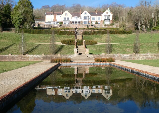
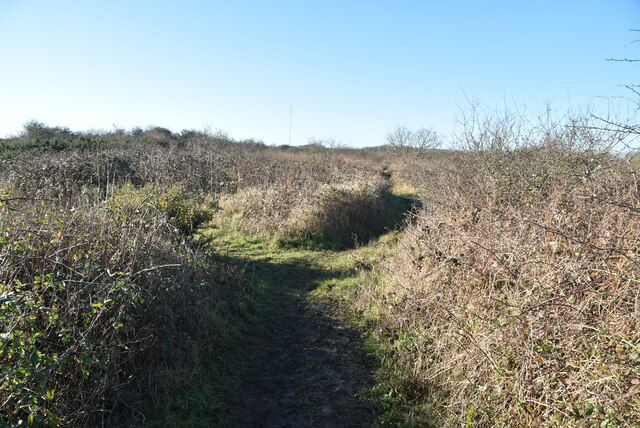
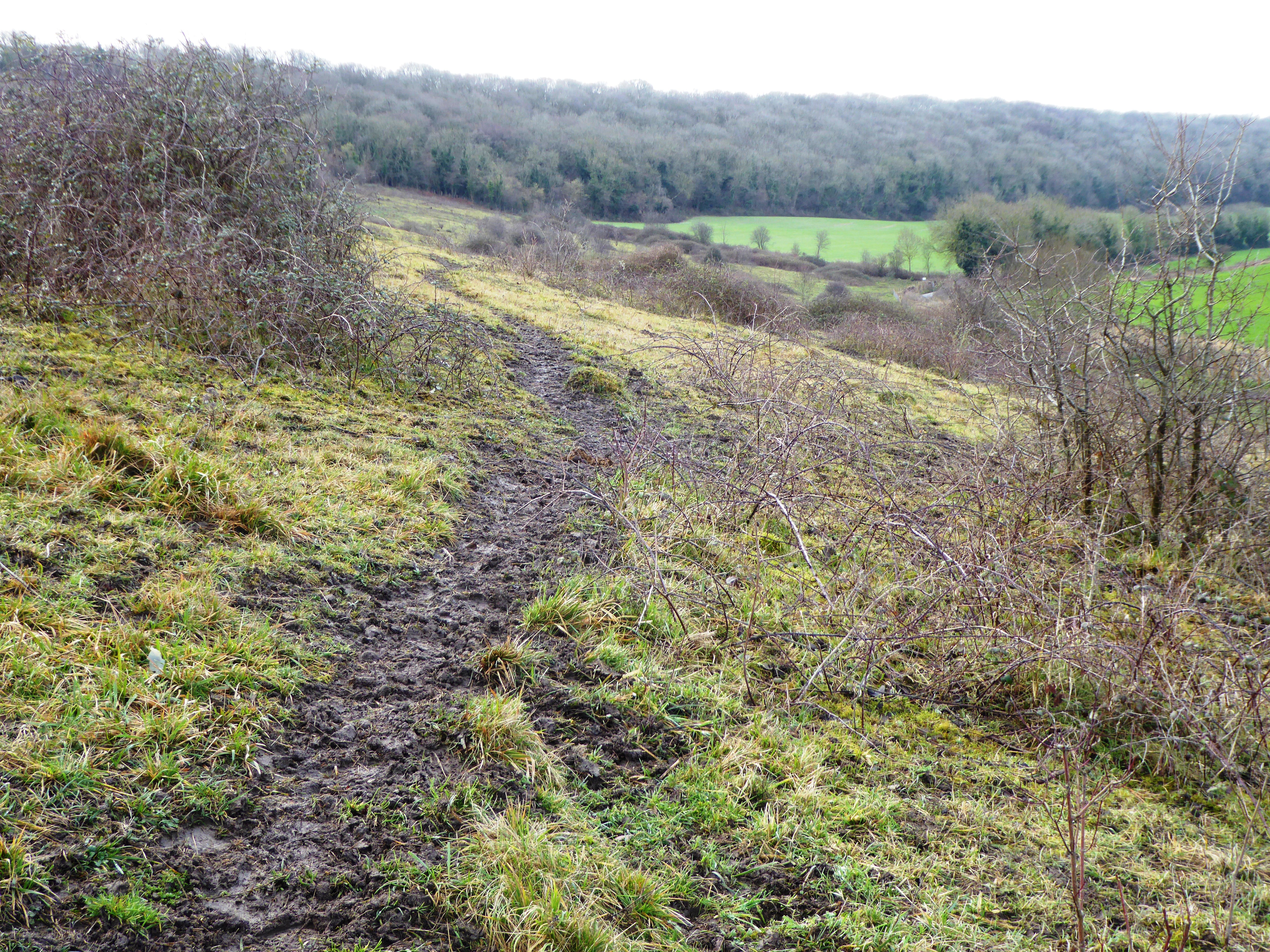
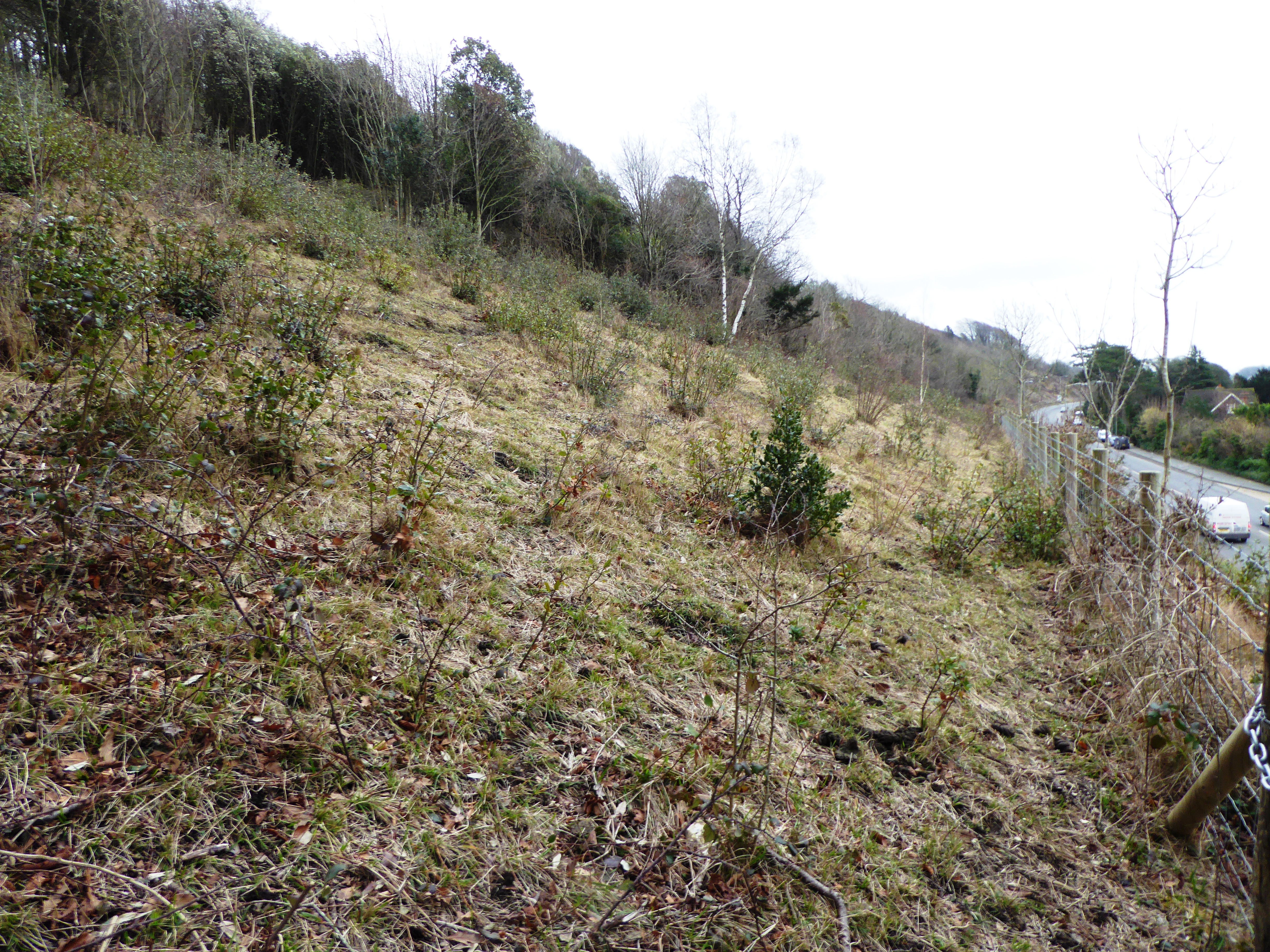
Bob's Dean Wood is a picturesque forest located in the county of Kent, England. Spanning over a vast area, this woodland is renowned for its natural beauty and diverse ecosystem. Situated near the village of Dean, the forest offers a tranquil escape from the hustle and bustle of city life.
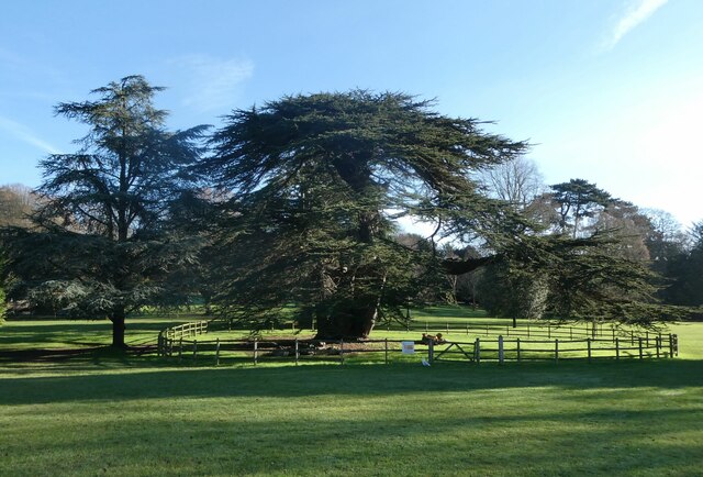
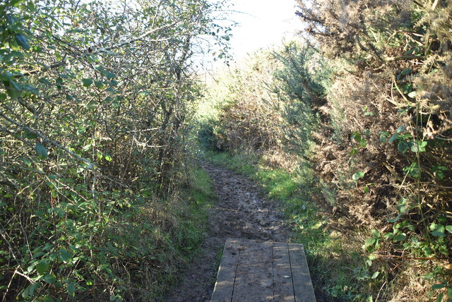
Covered in a dense canopy of trees, Bob's Dean Wood is predominantly composed of oak, beech, and chestnut trees, which provide shelter to a multitude of flora and fauna. The forest floor is adorned with a rich carpet of mosses, ferns, and wildflowers, lending a vibrant and enchanting atmosphere to the surroundings.
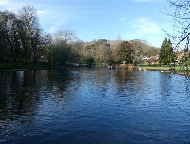
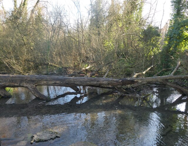
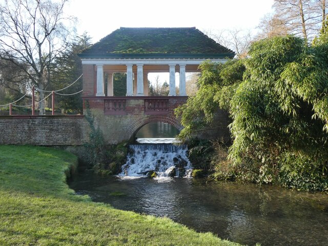
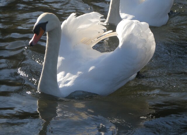
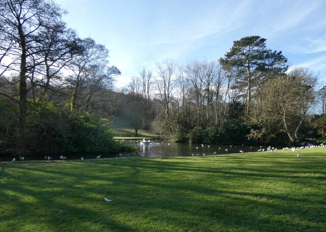
The woodland is intersected by several walking trails, allowing visitors to explore its hidden gems at their own pace. These trails wind through the forest, leading to breathtaking viewpoints, babbling brooks, and even ancient ruins. It is not uncommon to spot various woodland creatures such as deer, foxes, and rabbits during a leisurely stroll.
Bob's Dean Wood is also a haven for birdwatchers, as it is home to a wide variety of avian species. The melodious songs of warblers, thrushes, and woodpeckers can often be heard echoing through the trees. The forest is especially popular during spring when migratory birds return to nest and breed.
In addition to its natural wonders, the wood also holds cultural and historical significance. It is believed that the ancient Britons inhabited this area centuries ago, leaving behind traces of their presence in the form of burial mounds and ancient earthworks.
Overall, Bob's Dean Wood offers a captivating blend of natural beauty, tranquility, and historical intrigue, making it a must-visit destination for nature enthusiasts and history aficionados alike.
If you have any feedback on the listing, please let us know in the comments section below.
Bob's Dean Wood Images
Images are sourced within 2km of 51.136979/1.2749303 or Grid Reference TR2942. Thanks to Geograph Open Source API. All images are credited.


Bob's Dean Wood is located at Grid Ref: TR2942 (Lat: 51.136979, Lng: 1.2749303)
Administrative County: Kent
District: Dover
Police Authority: Kent
What 3 Words
///times.agenda.quarrel. Near Dover, Kent
Nearby Locations
Related Wikis
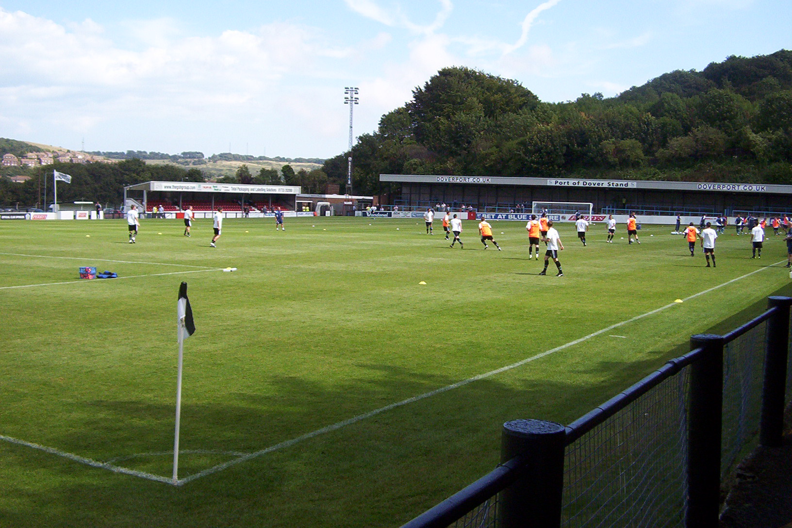
Crabble Athletic Ground
The Crabble Athletic Ground, also known as simply Crabble, or The Crabble is a football stadium located in the northern Dover suburb of River, Kent. It...
Nemo Down
Nemo Down is a 21-hectare (50-acre) nature reserve on the western outskirts of Dover in Kent. It was shown as owned and managed by the Kent Wildlife...

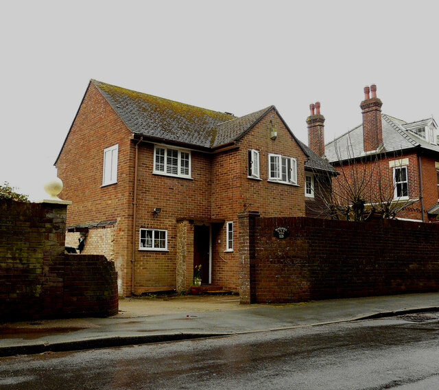
River, Kent
River is a village and civil parish in Kent, England, situated very close to the historic town of Dover, the town centre of which is only 2 miles to the...
Old Park Hill
Old Park Hill is a 40-hectare (100-acre) nature reserve north of Dover in Kent. It is managed by the Kent Wildlife Trust (KWT). It is in the Kent Downs...
Nearby Amenities
Located within 500m of 51.136979,1.2749303Have you been to Bob's Dean Wood?
Leave your review of Bob's Dean Wood below (or comments, questions and feedback).