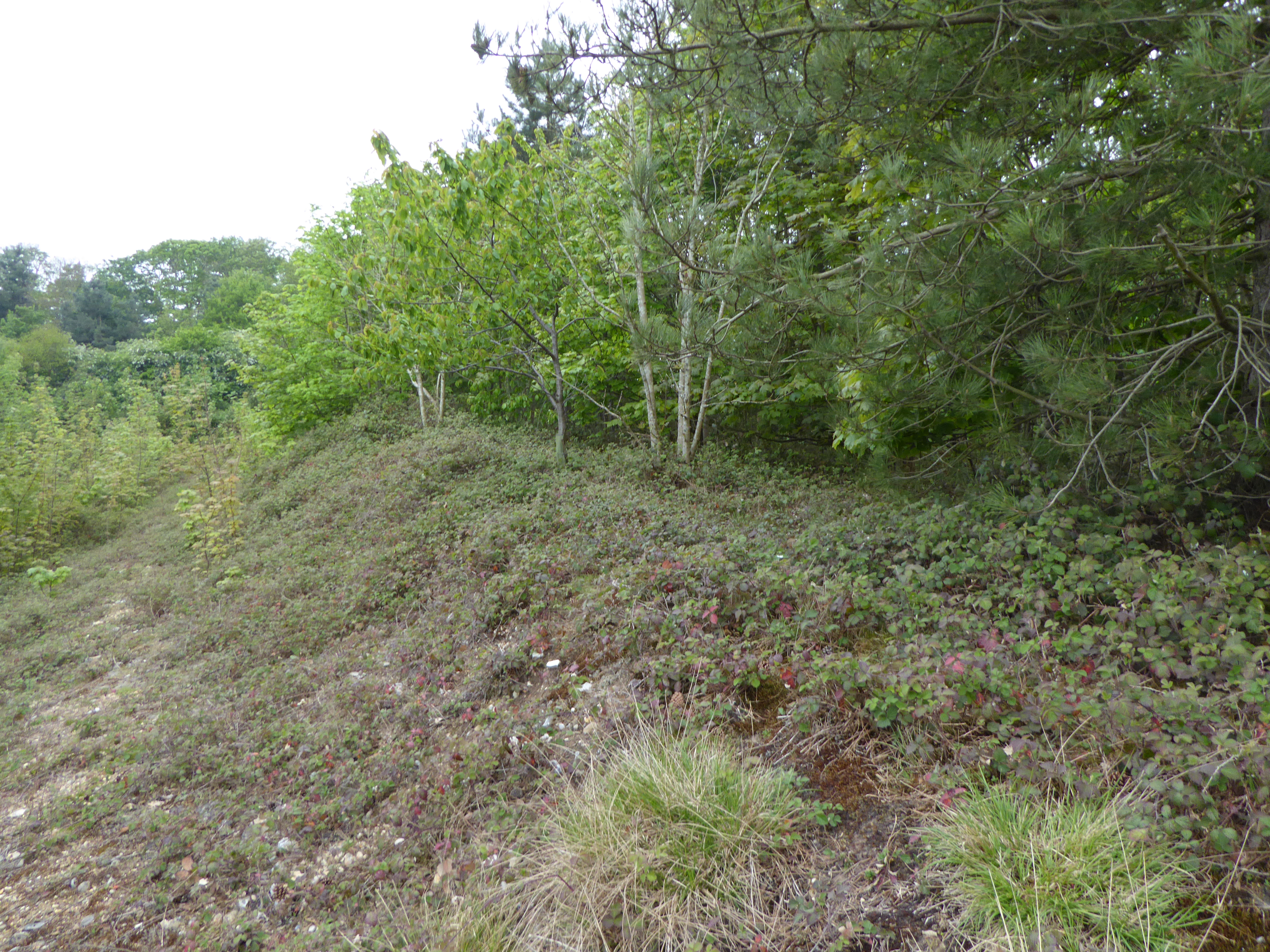
East Wood

Wood, Forest in Norfolk South Norfolk

England

East Wood

Denton: 'Rose Cottage' and two other dwellings
Denton: 'Rose Cottage' and two other dwellings Credit: Michael Garlick

East Wood, Norfolk is a small village located in the county of Norfolk, England. Nestled in the heart of the Norfolk countryside, it is surrounded by lush greenery and beautiful landscapes, making it an idyllic location for those seeking a peaceful and tranquil retreat.

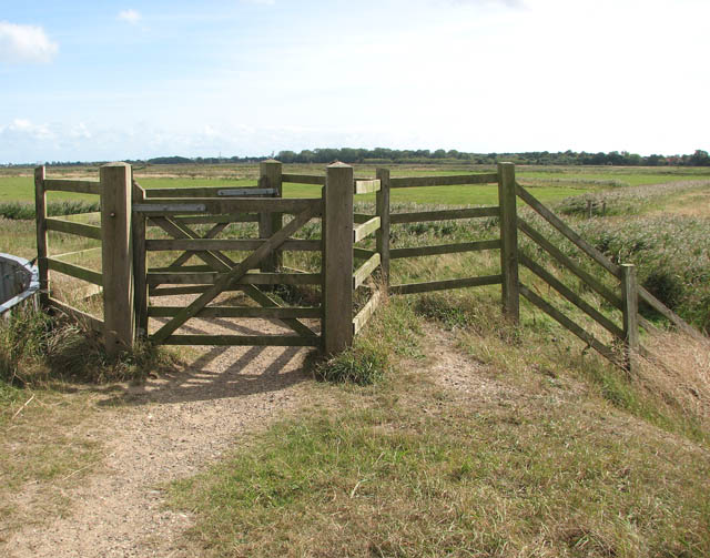
The village is situated on the eastern edge of a large forest, which gives it its name. The forest is known for its diverse range of trees, including oak, beech, and pine, providing a rich habitat for various wildlife species. This makes East Wood a popular destination for nature lovers and outdoor enthusiasts who enjoy exploring the forest trails and observing the local flora and fauna.

The village itself is characterized by charming cottages and houses, many of which date back several centuries, adding to its quaint and picturesque appeal. The community is tight-knit, with a friendly and welcoming atmosphere, making it an ideal place for families and individuals looking for a close-knit community.

Despite its small size, East Wood has a few amenities to offer its residents. There is a local village hall that hosts community events and gatherings, as well as a small convenience store where residents can purchase everyday essentials. For more extensive shopping and entertainment options, the nearby town of Norfolk is easily accessible.

Overall, East Wood, Norfolk is a quiet and scenic village that offers a peaceful way of life amidst the beauty of the surrounding forest. Whether it is for a relaxing weekend getaway or a permanent residence, this charming village provides a serene escape from the hustle and bustle of city living.

If you have any feedback on the listing, please let us know in the comments section below.
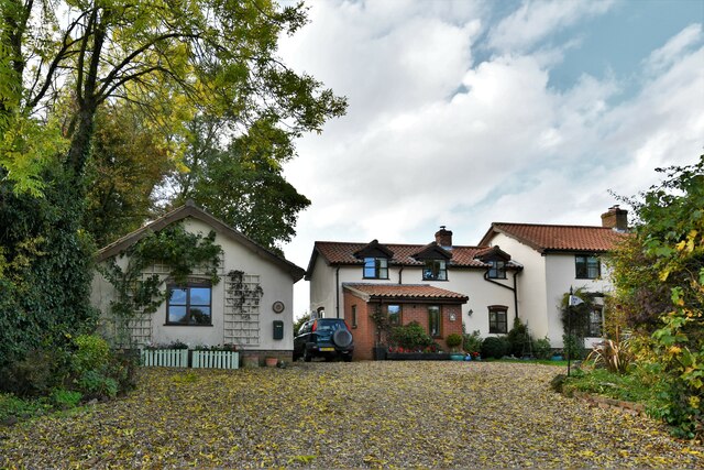
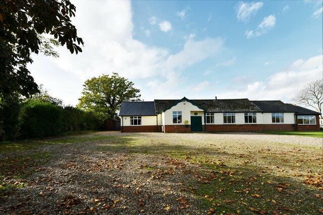
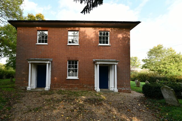
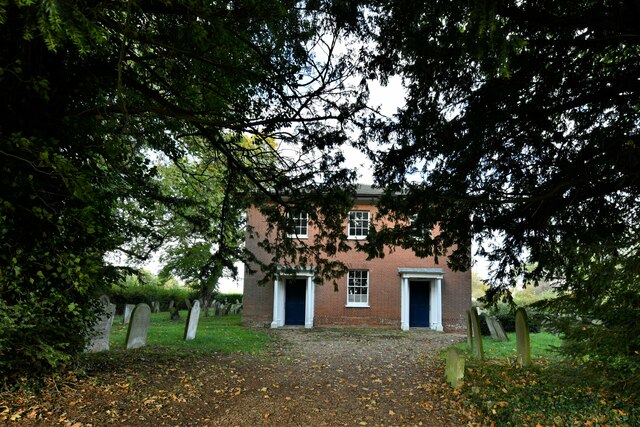
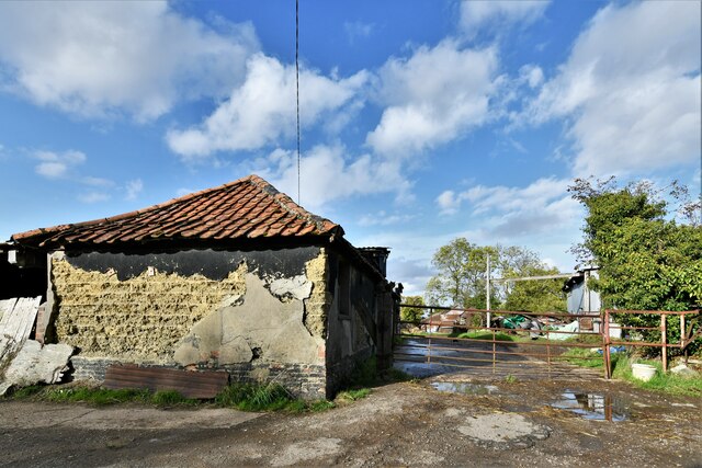
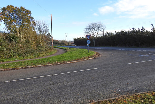
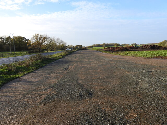
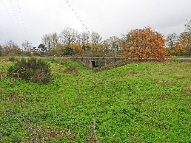
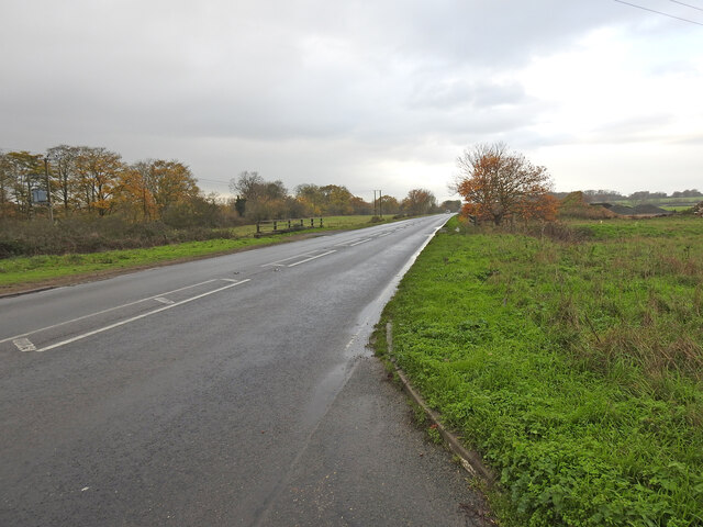
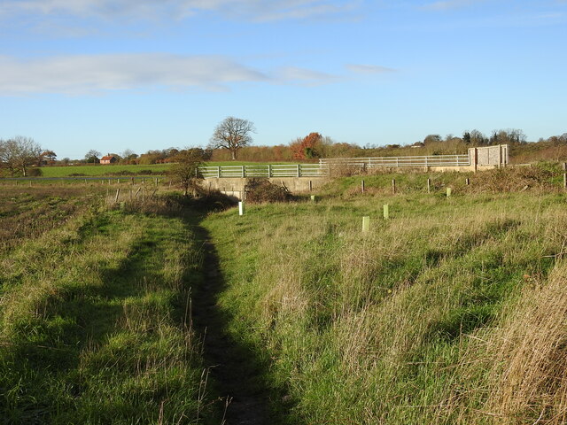
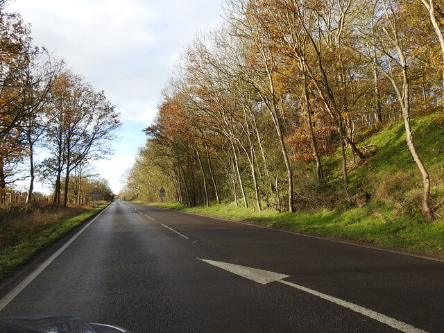
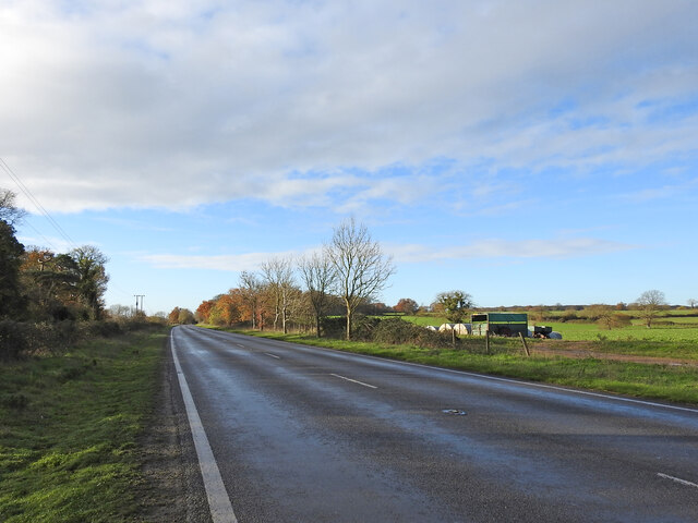
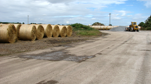
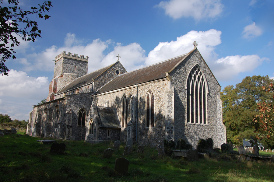
East Wood Images

Images are sourced within 2km of 52.440621/1.3701775 or Grid Reference TM2987. Thanks to Geograph Open Source API. All images are credited.

Denton: 'Rose Cottage' and two other dwellings
Denton: Skinners Meadow
Denton: 'Jasmine Cottage'
Denton: The community centre
Denton United Reformed Church
Denton: Haggards Farm
Site of the Denton Wash level crossing #58 The road was realigned into an 'Z' bend for the crossing as it was almost parallel with the planned alignment of the track. The layout of the new road has blocked access to the road on the other side and constructed a new access to Waveney Farm 120 yards further up the road.
Site of the Denton Wash level crossing #58
The road was realigned into an 'Z' bend for the crossing as it was almost parallel with the planned alignment of the track. The layout of the new road has blocked access to the road on the other side and constructed a new access to Waveney Farm 120 yards further up the road.
Site of the WW2 munitions siding at Earsham This was the access road and the siding ran alongside, to the left of the concrete roadway. It was here that, during WW2, a siding of about 437 yards (400 metres) was constructed north of the track for munitions and other materials to be off-loaded onto trucks for delivery to the local airfields.  In the meantime many of the bombs were stored alongside roads nearby including Whitehouse and Hogg Lane and Denton Road. <a href="https://www.geograph.org.uk/photo/7354966">TM2990 : One of the eight similar hard-standings </a> It was a dispersed USAAF bomb storage facility that had its headquarters at Earsham Hall, which was requisitioned for the purpose. Many of the roadside hard standings remain extant to this day. During the time the siding was in existence more than 200,000 tons of freight, mainly bombs were delivered by 625 special trains.
Site of the WW2 munitions siding at Earsham
This was the access road and the siding ran alongside, to the left of the concrete roadway. It was here that, during WW2, a siding of about 437 yards (400 metres) was constructed north of the track for munitions and other materials to be off-loaded onto trucks for delivery to the local airfields. In the meantime many of the bombs were stored alongside roads nearby including Whitehouse and Hogg Lane and Denton Road. TM2990 : One of the eight similar hard-standings It was a dispersed USAAF bomb storage facility that had its headquarters at Earsham Hall, which was requisitioned for the purpose. Many of the roadside hard standings remain extant to this day. During the time the siding was in existence more than 200,000 tons of freight, mainly bombs were delivered by 625 special trains.
Underpass on the site of a former level crossing The Waveney Valley line had a level crossing (#61) where this road now passes over an underpass created for the farmer to access the land on the opposite side of the road.
Underpass on the site of a former level crossing
The Waveney Valley line had a level crossing (#61) where this road now passes over an underpass created for the farmer to access the land on the opposite side of the road.
A143 Old Railway Road past the munitions siding West (right) of the road was a loop siding which was installed in 1944 for materials and munitions to be offloaded for storage and onward delivery to the American Bomb Groups at the airfields in the vicinity for final delivery to Germany. A concrete roadway <a href="https://www.geograph.org.uk/photo/7355018">TM3087 : Site of the WW2 munitions siding at Earsham</a> stretched the length of the siding which was about 450 yards (411 metres).
The railings are the site of an underpass which was the location of the level crossing (#61) at Drakes Lane crossing.
A143 Old Railway Road past the munitions siding
West (right) of the road was a loop siding which was installed in 1944 for materials and munitions to be offloaded for storage and onward delivery to the American Bomb Groups at the airfields in the vicinity for final delivery to Germany. A concrete roadway TM3087 : Site of the WW2 munitions siding at Earsham stretched the length of the siding which was about 450 yards (411 metres). The railings are the site of an underpass which was the location of the level crossing (#61) at Drakes Lane crossing.
Underpass, the site of a former level crossing #63 The road alignment has been much altered but this was the site of the Five Acre Lane crossing. There is no sign of a gatekeepers cottage so it was the train crew who would have operated the gates. The gates were removed in 1954 while trains still ran on the line.
The old lane is now a footpath which follows the follows the same route as far as Pheasant's Walk.
Underpass, the site of a former level crossing #63
The road alignment has been much altered but this was the site of the Five Acre Lane crossing. There is no sign of a gatekeepers cottage so it was the train crew who would have operated the gates. The gates were removed in 1954 while trains still ran on the line. The old lane is now a footpath which follows the follows the same route as far as Pheasant's Walk.
The deep cutting at Buck Hills Plantation This was the deepest cutting on the line as it passed by the plantation. It was about 200 yards long, gradually petering out at each end.
The deep cutting at Buck Hills Plantation
This was the deepest cutting on the line as it passed by the plantation. It was about 200 yards long, gradually petering out at each end.
The location of the turnout into Earsham munitions siding The siding a turnout from the down-line was installed early in 1944 for offloading and further distribution of bombs and other munitions and materials to local airfields. In it's short history it received 625 special trains delivering 21,000 wagons, carrying a total of 200,000 tons of bombs and other freight. After unloading bombs were stored at various specified "dumps" beside local roads and in cleared woodland before distribution. see <a href="https://www.geograph.org.uk/photo/1899246">TM3089 : Concrete platform</a> Contemporary maps show it as a siding and not a loop as it is sometimes referred to.  I leave the question open for positive confirmation.
The location of the turnout into Earsham munitions siding
The siding a turnout from the down-line was installed early in 1944 for offloading and further distribution of bombs and other munitions and materials to local airfields. In it's short history it received 625 special trains delivering 21,000 wagons, carrying a total of 200,000 tons of bombs and other freight. After unloading bombs were stored at various specified "dumps" beside local roads and in cleared woodland before distribution. see TM3089 : Concrete platform Contemporary maps show it as a siding and not a loop as it is sometimes referred to. I leave the question open for positive confirmation.
Straw bales by Earsham Park Farm
Straw bales The track depicted here formed part of the sidings constructed for the Earsham Forward Ammunition Depot > <a title="https://www.geograph.org.uk/article/Earsham-Forward-Ammunition-Depot--AAF-Station-545" href="https://www.geograph.org.uk/article/Earsham-Forward-Ammunition-Depot--AAF-Station-545">Link</a> during WW2.
Straw bales
The track depicted here formed part of the sidings constructed for the Earsham Forward Ammunition Depot > Link during WW2.
Track beside the A143 road The track formed part of the sidings constructed for the Earsham Forward Ammunition Depot > <a title="https://www.geograph.org.uk/article/Earsham-Forward-Ammunition-Depot--AAF-Station-545" href="https://www.geograph.org.uk/article/Earsham-Forward-Ammunition-Depot--AAF-Station-545">Link</a> during WW2.
Track beside the A143 road
The track formed part of the sidings constructed for the Earsham Forward Ammunition Depot > Link during WW2.
Track beside the A143 road The track depicted here formed part of the sidings constructed for the Earsham Forward Ammunition Depot > <a title="https://www.geograph.org.uk/article/Earsham-Forward-Ammunition-Depot--AAF-Station-545" href="https://www.geograph.org.uk/article/Earsham-Forward-Ammunition-Depot--AAF-Station-545">Link</a> during WW2.
Track beside the A143 road
The track depicted here formed part of the sidings constructed for the Earsham Forward Ammunition Depot > Link during WW2.
Show me another place!

East Wood is located at Grid Ref: TM2987 (Lat: 52.440621, Lng: 1.3701775)

Administrative County: Norfolk

District: South Norfolk

Police Authority: Norfolk

What 3 Words

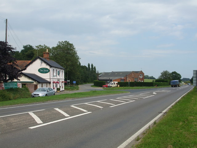
///hobby.workshop.economics. Near Bungay, Suffolk

Nearby Locations

Buck Plantation East Wood

Related Wikis

Denton, Norfolk

Denton is a village and civil parish in the English county of Norfolk. Denton is located 3.8 miles north-east of Harleston and 13 miles south of Norwich...

Flixton Quarry

Flixton Quarry is a 0.7 hectares (1.7 acres) geological Site of Special Scientific Interest 3.75 miles (6.04 km) south-west of Bungay in the English county...

Homersfield railway station

Homersfield was a railway station which served the village of Homersfield in Suffolk, England, although the station was located in Alburgh, across the...

Flixton, The Saints

Flixton is a village and civil parish located in the north of the English county of Suffolk. It is around 2 miles (3.2 km) south-west of Bungay in the...
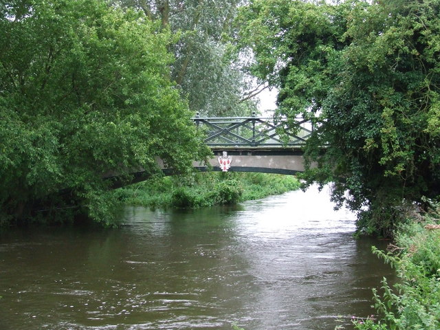
Homersfield Bridge

Homersfield Bridge is a road bridge across the River Waveney between Norfolk and Suffolk, and stands partly in the civil parishes of Alburgh and Wortwell...

Homersfield

Homersfield, also known as St Mary, South Elmham, is a village and civil parish in the north of the English county of Suffolk. It is in the East Suffolk...

Alburgh

Alburgh is a village and civil parish in the English county of Norfolk. It lies about four miles (6 km) north-east of Harleston and 16 miles (26 km) south...

Angles Way

The Angles Way is a long-distance footpath in England, close to the River Waveney and River Little Ouse and thus close to the Norfolk/Suffolk border between...

Have you been to East Wood?

Leave your review of East Wood below (or comments, questions and feedback).