Brown's Planting

Wood, Forest in Suffolk East Suffolk

England

Brown's Planting

Area around Woodbridge from air, 2001 An aerial photo of the Deben estuary and the town of Woodbridge (left). Two airfields are shown: the former Woodbridge Airfield amid Rendlesham Forest to the right and the disused Bentwaters Airfield further away. The site of the Sutton Hoo Ship Burial is behind the small clouds left of centre, across the river from the town.
Area around Woodbridge from air, 2001 Credit: Derek Harper

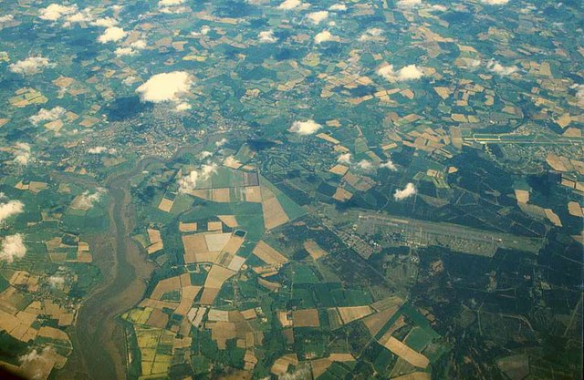
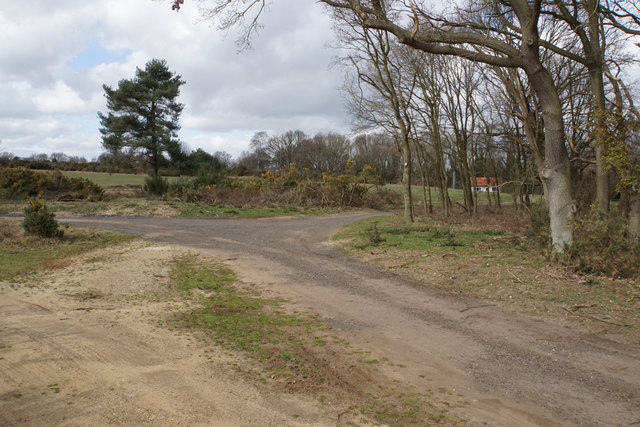
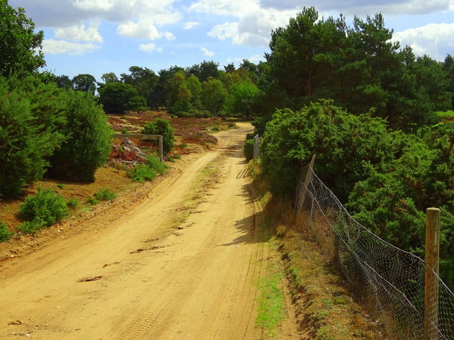
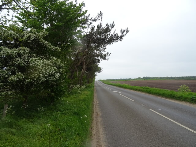
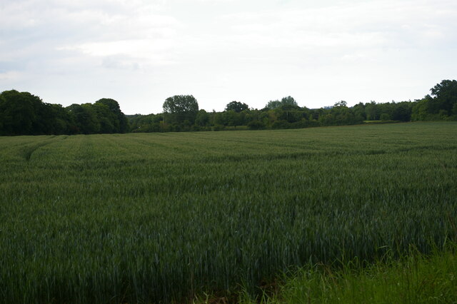
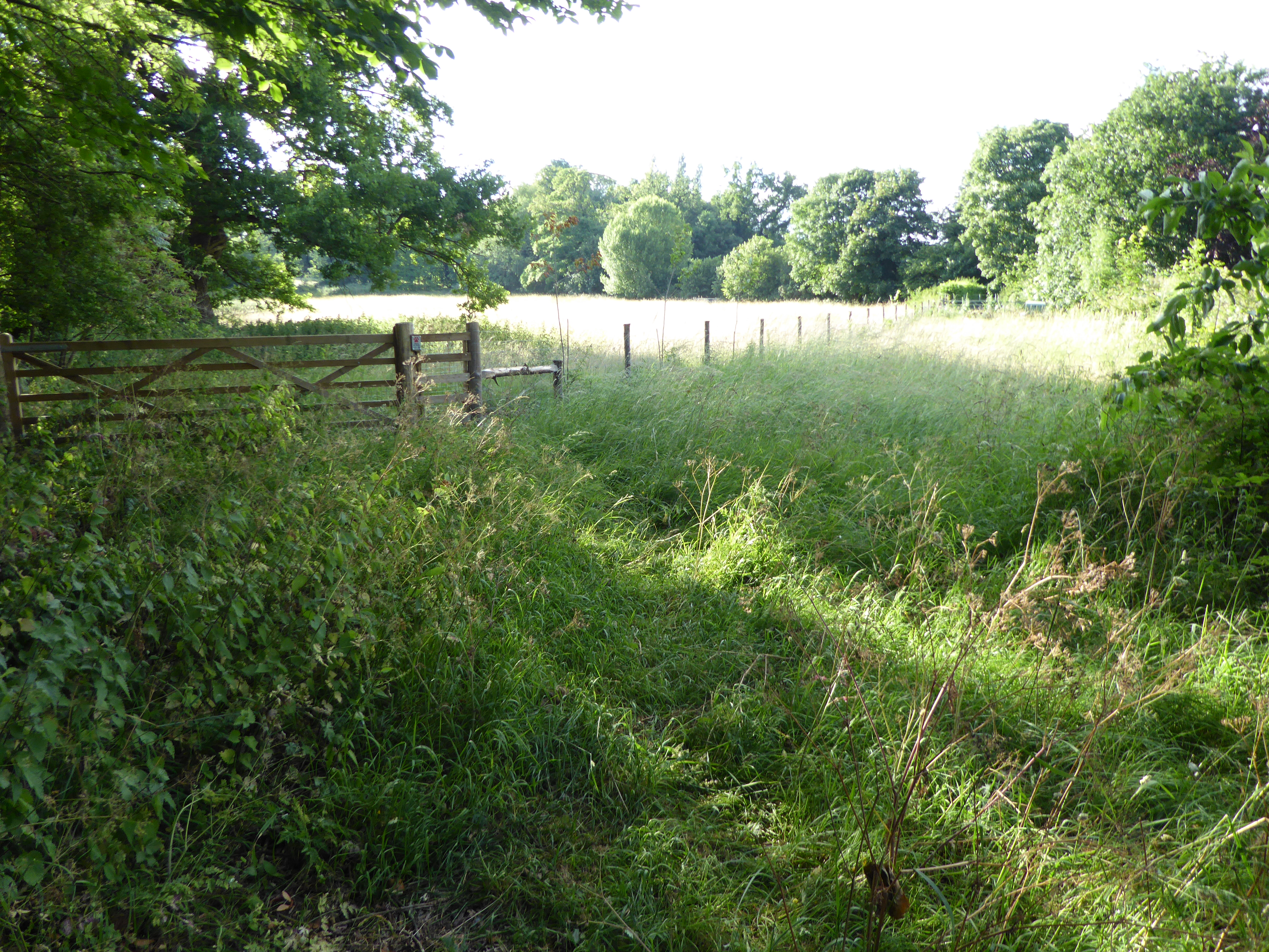
Brown's Planting is a wooded area located in Suffolk, England, known for its rich biodiversity and serene atmosphere. The forest is situated near the village of Brown's Planting, which is nestled within the beautiful countryside of Suffolk. Covering an area of approximately 200 acres, Brown's Planting is a popular destination for nature enthusiasts, hikers, and those seeking tranquility amidst nature.

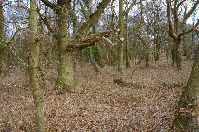
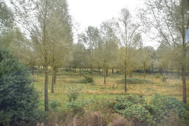
The forest is predominantly composed of various species of deciduous trees, including oak, beech, and birch, which create a dense canopy, providing shade and shelter to a diverse range of flora and fauna. The forest floor is adorned with a carpet of vibrant wildflowers, such as bluebells and primroses, adding a burst of color to the landscape during spring.

Brown's Planting is also home to a variety of wildlife, including deer, foxes, squirrels, and a myriad of bird species. Birdwatchers can spot woodpeckers, owls, and various songbirds amongst the treetops. The forest is also known for its population of rare butterflies and insects, attracting entomologists and nature photographers.

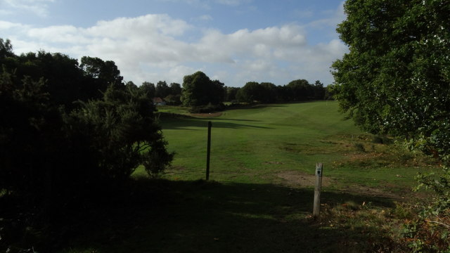
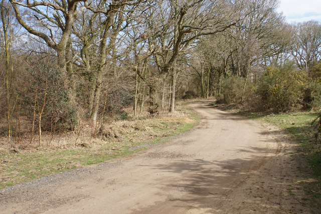
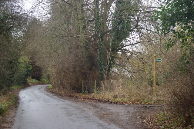
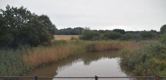
Visitors can explore the forest through a network of well-maintained trails that wind through the woodland, allowing for leisurely walks and hikes. The paths offer breathtaking views of the surrounding countryside and lead to hidden meadows and peaceful ponds, providing opportunities for picnics and relaxation.

Brown's Planting is a cherished natural gem in Suffolk, offering a sanctuary for both humans and wildlife. Its tranquil setting, diverse ecosystem, and picturesque landscapes make it a must-visit destination for nature lovers and those seeking a respite from the hustle and bustle of everyday life.

If you have any feedback on the listing, please let us know in the comments section below.

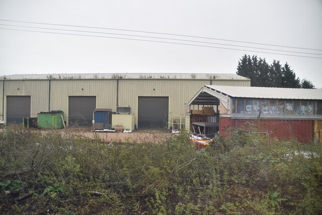
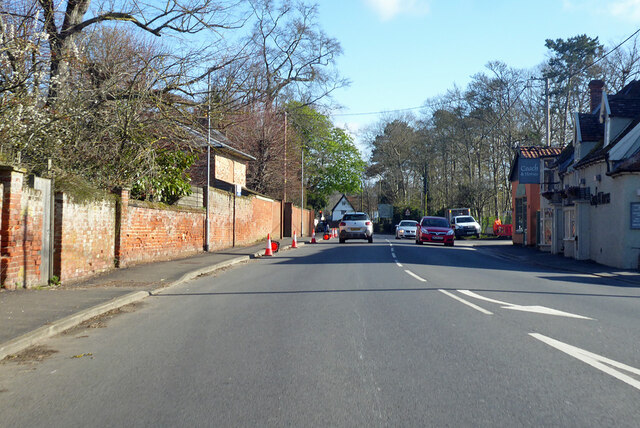
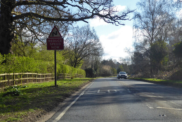
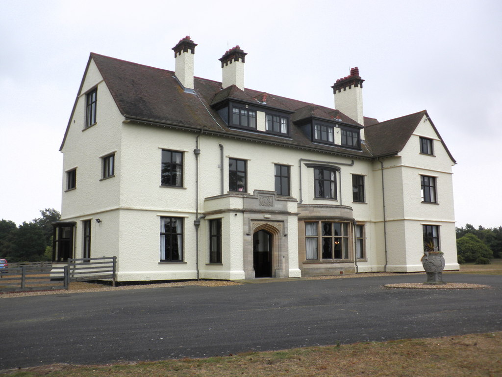
Brown's Planting Images

Images are sourced within 2km of 52.098462/1.3415288 or Grid Reference TM2849. Thanks to Geograph Open Source API. All images are credited.

Area around Woodbridge from air, 2001 An aerial photo of the Deben estuary and the town of Woodbridge (left). Two airfields are shown: the former Woodbridge Airfield amid Rendlesham Forest to the right and the disused Bentwaters Airfield further away. The site of the Sutton Hoo Ship Burial is behind the small clouds left of centre, across the river from the town.
Area around Woodbridge from air, 2001
An aerial photo of the Deben estuary and the town of Woodbridge (left). Two airfields are shown: the former Woodbridge Airfield amid Rendlesham Forest to the right and the disused Bentwaters Airfield further away. The site of the Sutton Hoo Ship Burial is behind the small clouds left of centre, across the river from the town.
Sandlings Walk across Woodbridge Golf Course
Woodland by Woodbridge Golf Club Mature broad-leaved trees have a safe refuge here.
Woodland by Woodbridge Golf Club
Mature broad-leaved trees have a safe refuge here.
Track on Bromeswell Heath The track incorporates a bridleway leading away from Woodbridge Golf Club.
Track on Bromeswell Heath
The track incorporates a bridleway leading away from Woodbridge Golf Club.
Track junction by Woodbridge Golf Club The route right will make you cross a fairway.
Track junction by Woodbridge Golf Club
The route right will make you cross a fairway.
Private track on Bromswell Heath This pic was taken from the public footpath, so I wasn't trespassing.
Private track on Bromswell Heath
This pic was taken from the public footpath, so I wasn't trespassing.
B1083 towards Melton
The Granary
The Granary
New Road, Melton
New Road, Melton
Orchard Close, Woodbridge
Field off Lodge Farm Lane
River Deben The recognised source is to the west of Debenham, though a second, higher source runs south from the parish of Bedingfield. The river, which is just over 33 miles long, passes through Woodbridge, where it becomes a tidal estuary before emptying into the North Sea between Felixstowe and Bawdsey at Harwich Haven.
River Deben
The recognised source is to the west of Debenham, though a second, higher source runs south from the parish of Bedingfield. The river, which is just over 33 miles long, passes through Woodbridge, where it becomes a tidal estuary before emptying into the North Sea between Felixstowe and Bawdsey at Harwich Haven.
Open woodland
Open woodland
Industrial units
Industrial units
Wilford Bridge Rd <span class="nowrap"><a title="https://en.wikipedia.org/wiki/A1152_road" rel="nofollow ugc noopener" href="https://en.wikipedia.org/wiki/A1152_road">Link</a><img style="margin-left:2px;" alt="External link" title="External link - shift click to open in new window" src="https://s1.geograph.org.uk/img/external.png" width="10" height="10"/></span>
Wilford Bridge Rd
B1438 Melton Road Towards Melton village centre from Woodbridge.
B1438 Melton Road
Towards Melton village centre from Woodbridge.
A1152 Orford Road Towards Orford, but the A1152 turns away from the Orford road towards Snape. It does not even reach that, becoming a B road after Rendlesham where a former American air base, RAF Bentwaters, was probably the reason for its A status.
A1152 Orford Road
Towards Orford, but the A1152 turns away from the Orford road towards Snape. It does not even reach that, becoming a B road after Rendlesham where a former American air base, RAF Bentwaters, was probably the reason for its A status.
Level crossing at Melton On the East Suffolk line between Ipswich and Lowestoft.
Level crossing at Melton
On the East Suffolk line between Ipswich and Lowestoft.
Show me another place!

Brown's Planting is located at Grid Ref: TM2849 (Lat: 52.098462, Lng: 1.3415288)

Administrative County: Suffolk

District: East Suffolk

Police Authority: Suffolk

What 3 Words

///punctured.become.translate. Near Woodbridge, Suffolk

Related Wikis

Sutton Hoo Helmet (sculpture)

Sutton Hoo Helmet is a 2002 sculpture by the English artist Rick Kirby. A representation of the Anglo-Saxon helmet by the same name found in the Sutton...

Melton railway station, Suffolk

Melton railway station is on the East Suffolk Line in the east of England, serving the village of Melton, Suffolk. It is 11 miles 49 chains (18.7 km) down...

Tranmer House

Tranmer House is a country house in Sutton Hoo, Woodbridge, Suffolk, England, dating from 1910. The house is located on the Sutton Hoo Anglo-Saxon burial...

Bromeswell Green

Bromeswell Green is a 7.2-hectare (18-acre) nature reserve in Bromeswell, east of Woodbridge in Suffolk. It is managed by the Suffolk Wildlife Trust.This...

Hutchison's Meadow

Hutchison's Meadow is a one hectare nature reserve in Melton in Suffolk. It is owned and managed by the Suffolk Wildlife Trust.This is mixture of wet and...

Melton, Suffolk

Melton is a village in Suffolk, England, located approximately one mile northeast of Woodbridge. The 2001 census recorded a population of 3,718, the population...

Sutton Hoo helmet

The Sutton Hoo helmet is a decorated Anglo-Saxon helmet found during a 1939 excavation of the Sutton Hoo ship-burial. It was buried around the years c...

Sutton Hoo

Sutton Hoo is the site of two Anglo-Saxon cemeteries dating from the 6th to 7th centuries near Woodbridge, Suffolk, England. Archaeologists have been excavating...

Nearby Amenities

Located within 500m of 52.098462,1.3415288
Source: PGS
Lat/Long: 52.1023806/1.3394568
Source: PGS
Lat/Long: 52.1024026/1.3399153
Source: PGS
Lat/Long: 52.1026704/1.3407199
Source: PGS
Lat/Long: 52.1025353/1.3413579
Source: PGS
Lat/Long: 52.1019747/1.3389179
Source: PGS
Lat/Long: 52.1017172/1.3385122
Source: PGS
Lat/Long: 52.101599/1.3381834
Source: PGS
Lat/Long: 52.1015495/1.3378798
Source: PGS
Lat/Long: 52.1009959/1.3377674
Source: PGS
Lat/Long: 52.1002903/1.3363422
Source: PGS
Lat/Long: 52.1002747/1.3366617
Source: PGS
Lat/Long: 52.1002333/1.3372392
Source: PGS
Lat/Long: 52.100044/1.33737
Source: PGS
Lat/Long: 52.1000124/1.3374778
Source: PGS
Lat/Long: 52.0996636/1.3374392
Source: PGS
Lat/Long: 52.0995641/1.3372569
Source: PGS
Lat/Long: 52.0993961/1.3369912
Source: PGS
Lat/Long: 52.0987727/1.3355977
Source: PGS
Lat/Long: 52.0984842/1.3344037
Cafe
Cafe
Operator: National Trust
Source: local_knowledge
Wheelchair: yes
Lat/Long: 52.0945633/1.3410065
Bus Stop
Coach Park
Naptan AtcoCode: 390060583
Naptan Bearing: SW
Naptan BusStopType: CUS
Naptan CommonName: Coach Park
Naptan Indicator: o/s
Naptan Landmark: Coach Park
Naptan NaptanCode: sufgtapj
Naptan Street: Visitors Centre
Naptan Verified: no
Source: naptan_import
Lat/Long: 52.0951413/1.3425029
Entrance: main
Lat/Long: 52.0948428/1.3415011
Collection Times: Mo-Fr 15:00; Sa 09:00
Note: Postbox removed for building works. Unclear if it will be returned afterwards.
Post Box Design: type_b
Post Box Type: pillar
Ref: IP12 8166
Removed Amenity: post_box
Royal Cypher: EIIR
Lat/Long: 52.0946681/1.3415942
Toilets
Access: permissive
Fee: no
Lat/Long: 52.0948777/1.3413805
Toilets
Access: customers
Wheelchair: yes
Lat/Long: 52.0947047/1.3411324
Fixme: incomplete
Lat/Long: 52.0998333/1.3477087
Information: guidepost
Tourism: information
Lat/Long: 52.0942444/1.340961
National Trust Shop
Shop: gift
Lat/Long: 52.0947218/1.3413583
Artwork Type: sculpture
Tourism: artwork
Lat/Long: 52.0945076/1.3413637
Entrance: main
Lat/Long: 52.0946057/1.3412455
Second-hand Bookshop
Shop: books
Lat/Long: 52.0942058/1.3414923
Fixme: incomplete
Lat/Long: 52.0971737/1.3364066
Tourism: picnic_site
Lat/Long: 52.096228/1.3425593
Bench
Tourism: viewpoint
Lat/Long: 52.0951606/1.3368784
Fixme: incomplete
Lat/Long: 52.0974933/1.3380803
Fixme: incomplete
Lat/Long: 52.0972429/1.3375546
Tourism: picnic_site
Lat/Long: 52.0945198/1.3407435
Leisure: picnic_table
Lat/Long: 52.0970081/1.3365029
Old Links
Place: locality
Lat/Long: 52.0983366/1.3363624
Brown's Planting
Place: locality
Lat/Long: 52.0982575/1.3399351
Home Wood
Place: locality
Lat/Long: 52.0958584/1.3370705
Entrance: yes
Lat/Long: 52.0942324/1.3414048
Parking
Access: private
Lat/Long: 52.0980639/1.3485248
Sutton Hoo Campsite
Tourism: camp_site
Lat/Long: 52.0967815/1.3477808
Entrance: main
Lat/Long: 52.0945535/1.3417132
Defibrillator
Defibrillator Location: On exterior wall of National Trust building, at the shop end on the back facing the picnic area.
Emergency: defibrillator
Lat/Long: 52.0948276/1.3412888
The data included in this document is from www.openstreetmap.org. The data is made available under ODbL.

Have you been to Brown's Planting?

Leave your review of Brown's Planting below (or comments, questions and feedback).