Barn Belt
Wood, Forest in Suffolk East Suffolk
England
Barn Belt

Barn Belt, Suffolk (Wood, Forest) is a picturesque rural area located in the county of Suffolk, England. Situated amidst lush greenery and rolling landscapes, this region is renowned for its stunning woodlands and picturesque forests. It offers a tranquil and idyllic setting, making it a popular destination for nature enthusiasts and outdoor enthusiasts alike.
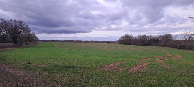
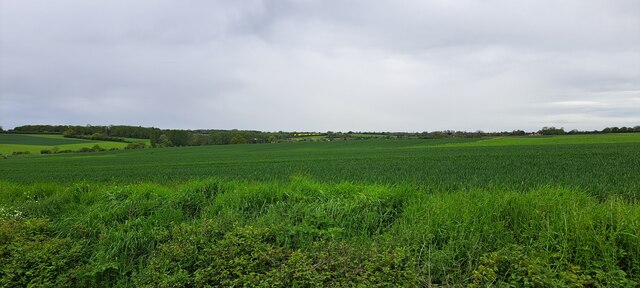
Covering an extensive area, Barn Belt is home to a diverse range of flora and fauna. The woodlands are dominated by a mixture of deciduous and coniferous trees, including oak, beech, pine, and spruce. These trees provide shelter and habitat for a variety of wildlife, such as deer, foxes, rabbits, and a wide array of bird species.
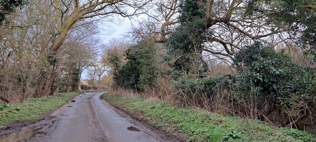
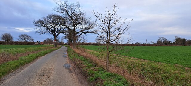
The forested areas in Barn Belt are not only aesthetically pleasing but also serve as important ecological resources. They contribute to the overall biodiversity of the region and play a crucial role in maintaining the local ecosystem. The woodlands also provide a recreational space for visitors, with numerous walking trails and picnic spots scattered throughout the area.
In addition to its natural beauty, Barn Belt boasts a rich cultural heritage. The region is dotted with traditional barns and farmhouses, showcasing the agricultural history of Suffolk. The local community takes pride in preserving and celebrating their rural heritage, organizing events and festivals that highlight the region's traditions.
Overall, Barn Belt, Suffolk (Wood, Forest) offers a charming blend of natural beauty, wildlife, and cultural heritage. It presents a wonderful opportunity to escape the hustle and bustle of city life and immerse oneself in the serenity of the countryside.
If you have any feedback on the listing, please let us know in the comments section below.
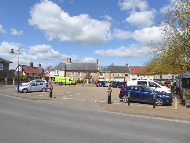
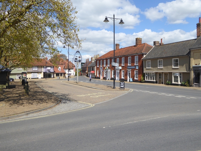
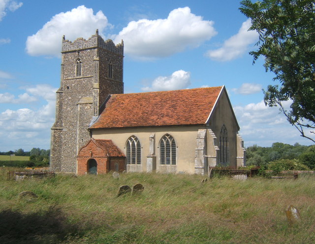
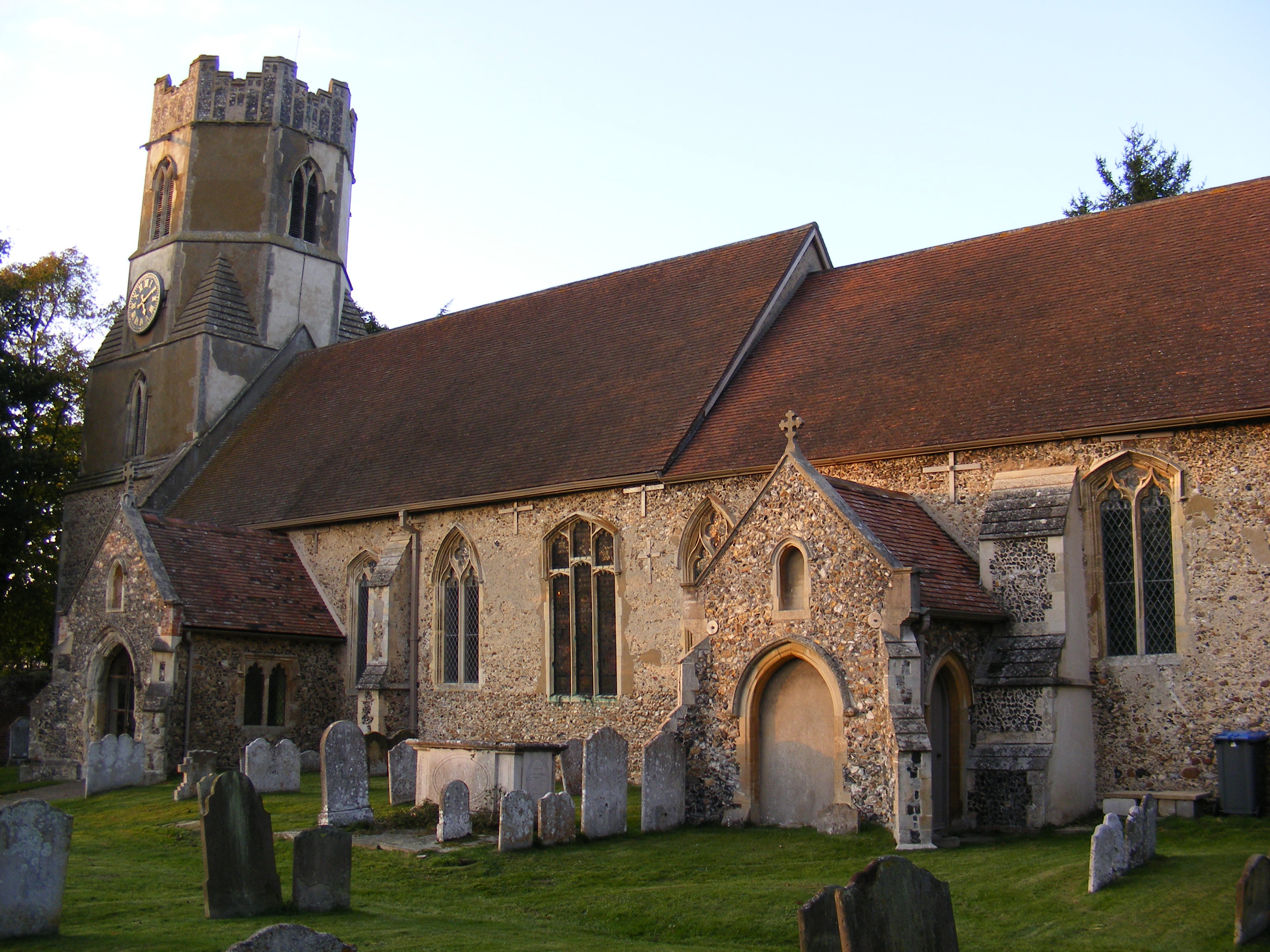
Barn Belt Images
Images are sourced within 2km of 52.155951/1.3444617 or Grid Reference TM2856. Thanks to Geograph Open Source API. All images are credited.


Barn Belt is located at Grid Ref: TM2856 (Lat: 52.155951, Lng: 1.3444617)
Administrative County: Suffolk
District: East Suffolk
Police Authority: Suffolk
What 3 Words
///technical.holds.award. Near Wickham Market, Suffolk
Nearby Locations
Related Wikis
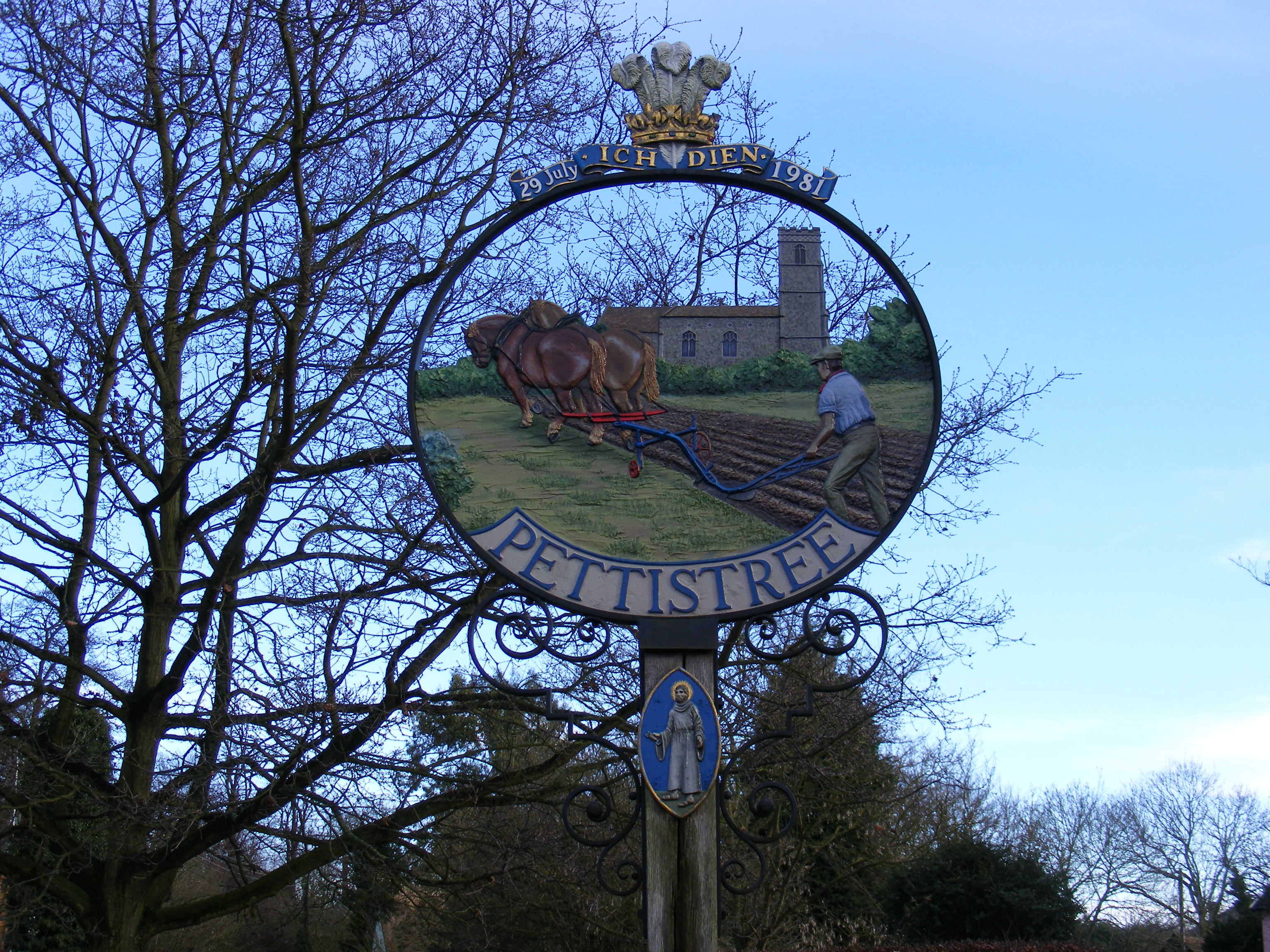
Pettistree
Pettistree is a small village and a civil parish in the East Suffolk district, in the English county of Suffolk. According to the 2011 Census, Pettistree...
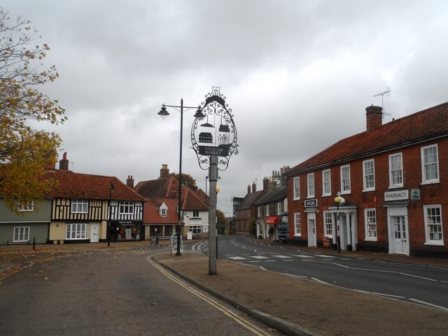
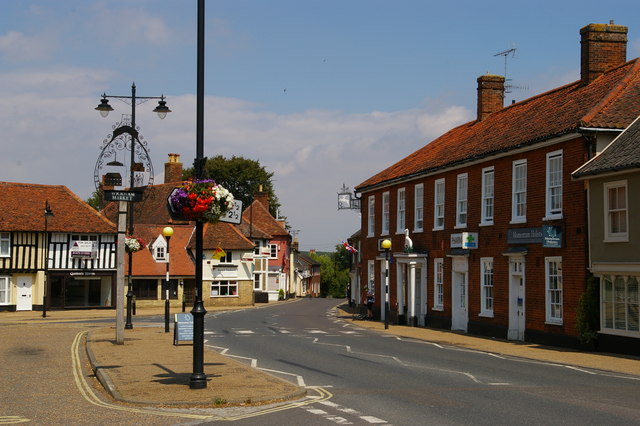
Wickham Market
Wickham Market is a large village and electoral ward in the River Deben valley, Suffolk, England, within the Suffolk Coastal heritage area. It is on the...

Wickham Market Hoard
The Wickham Market Hoard is a hoard of 840 Iron Age gold staters found in a field at Dallinghoo near Wickham Market, Suffolk, England in March 2008 by...

Deben Mill
Deben Mill is a water mill on the River Deben located on the boundary between the civil parishes of Wickham Market and Hacheston, in Suffolk, England....
Letheringham
Letheringham is a sparsely populated civil parish in the East Suffolk district (formerly Deben Rural District and then Suffolk Coastal) in Suffolk, England...

Manor of Byng
The Manor of Byng is a former manorial estate located in the county of Suffolk, UK. The manor house is the 16th-century Byng Hall. The manor is located...

Dallinghoo
Dallinghoo is a village about three miles (5 km) north of Woodbridge, Suffolk, England. == Location == Dallinghoo is formed from Church Road to the west...
Easton, Suffolk
Easton in England is situated on the River Deben around three miles south of Framlingham and is the former estate village of Easton Park, one-time seat...
Nearby Amenities
Located within 500m of 52.155951,1.3444617Have you been to Barn Belt?
Leave your review of Barn Belt below (or comments, questions and feedback).