Anchor Wood
Wood, Forest in Norfolk Broadland
England
Anchor Wood

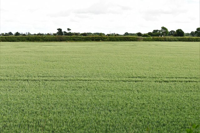
Anchor Wood is a beautiful forest located in Norfolk, England. Covering an area of approximately 200 acres, it is a popular destination for nature enthusiasts and outdoor lovers. The wood is part of the larger Thetford Forest Park and is managed by the Forestry Commission.
Anchor Wood is characterized by its diverse range of trees, including oak, beech, pine, and birch. These trees create a stunning canopy that provides shade and shelter for a variety of wildlife. Visitors can expect to see an array of bird species, such as woodpeckers, owls, and thrushes, as well as small mammals like squirrels and rabbits.
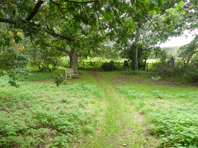
The forest offers a network of well-maintained walking trails, allowing visitors to explore its natural beauty at their own pace. These paths wind through the trees, providing a peaceful and serene atmosphere. Along the way, there are designated picnic areas where visitors can stop and enjoy a meal surrounded by the sights and sounds of nature.
For those looking for a more adventurous experience, Anchor Wood also offers cycling trails. These paths cater to all skill levels, from beginners to experienced cyclists, and provide a thrilling way to explore the forest.
Overall, Anchor Wood is a haven for nature lovers, offering a tranquil escape from the hustle and bustle of everyday life. Its diverse flora and fauna, coupled with its well-maintained trails, make it a must-visit destination for anyone seeking a connection with the natural world.
If you have any feedback on the listing, please let us know in the comments section below.
Anchor Wood Images
Images are sourced within 2km of 52.724958/1.3766292 or Grid Reference TG2819. Thanks to Geograph Open Source API. All images are credited.


Anchor Wood is located at Grid Ref: TG2819 (Lat: 52.724958, Lng: 1.3766292)
Administrative County: Norfolk
District: Broadland
Police Authority: Norfolk
What 3 Words
///beard.annual.chose. Near Coltishall, Norfolk
Nearby Locations
Related Wikis

Coltishall
Coltishall is a village on the River Bure, west of Wroxham, in the English county of Norfolk. The village is located within the Norfolk Broads. == Etymology... ==

Belaugh
Belaugh is a small village (population 105) increasing to 134 at the 2011 Census, that occupies a bend in the River Bure in Norfolk, England - within The...
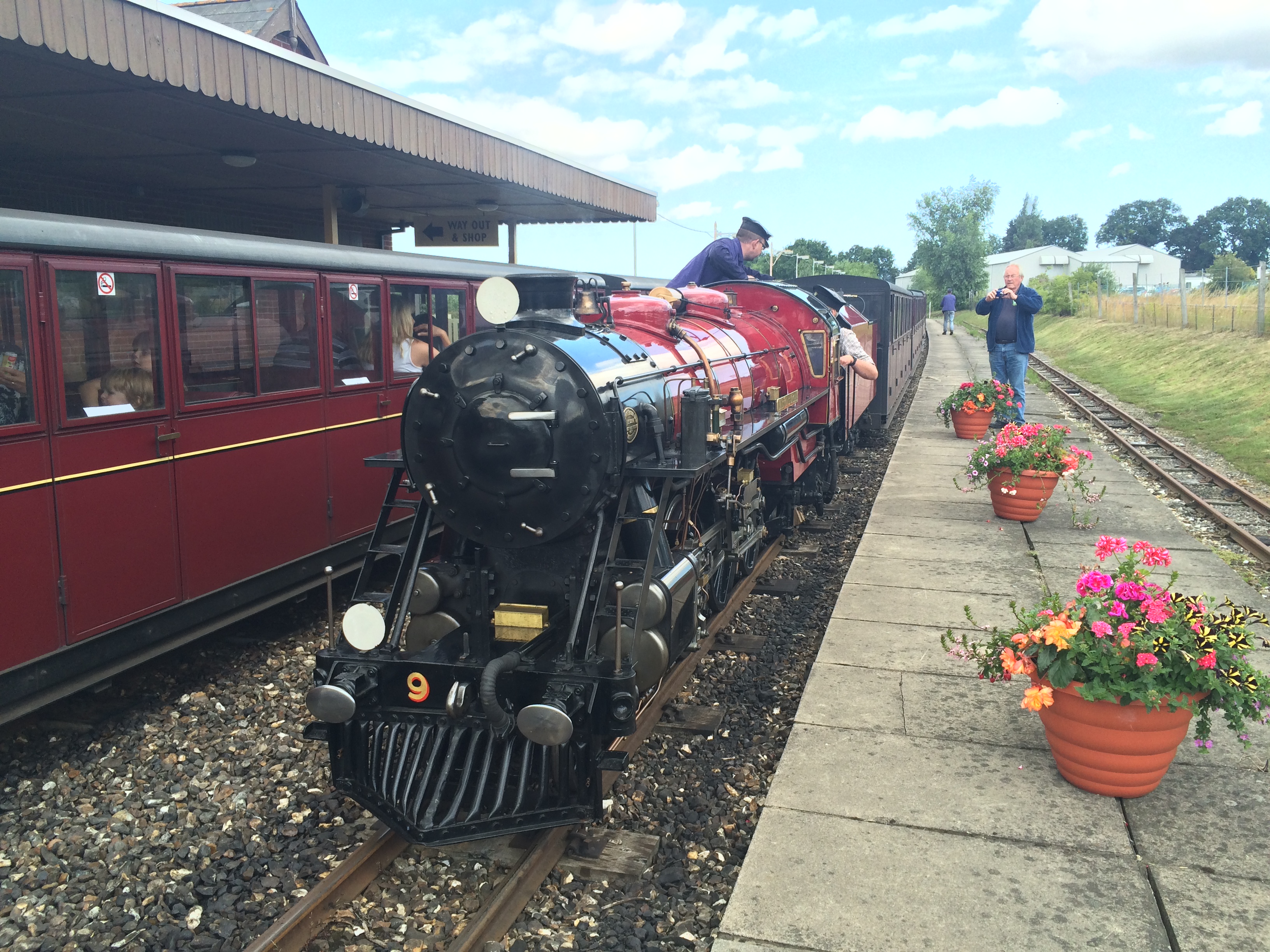
Coltishall railway station
Coltishall railway station serves the village of Coltishall in Norfolk, and is currently operated by the Bure Valley Railway. == Standard gauge operation... ==

Horstead with Stanninghall
Horstead with Stanninghall is a civil parish in the English county of Norfolk which is also known as 'The Gateway of The Broads' consisting of the former...

St Theobald's Church, Great Hautbois
St Theobald's Church is a former church at Great Hautbois, near Coltishall in Norfolk, England. During the medieval period it was a place of pilgrimage...

Bure Valley Railway
The Bure Valley Railway is a 15 in (381 mm) minimum gauge visitors' attraction in Norfolk, England. It was created on the original disused full-gauge bed...
Wroxham railway station
Wroxham railway station is located near the villages of Wroxham and Hoveton in Norfolk, and is the southern terminus of the Bure Valley Railway, a minimum...

River Hor
The River Hor is a short river in the county of Norfolk, England. It runs 13.3 kilometres (8.3 mi) east from its source near Felthorpe to its confluence...
Nearby Amenities
Located within 500m of 52.724958,1.3766292Have you been to Anchor Wood?
Leave your review of Anchor Wood below (or comments, questions and feedback).