Ash Plantation
Wood, Forest in Norfolk North Norfolk
England
Ash Plantation

Ash Plantation is a woodland area located in Norfolk, England. Situated near the village of Ashwellthorpe, it covers an approximate area of 200 acres. The plantation is primarily composed of ash trees, which dominate the landscape and give the area its name.
The woodland is characterized by its dense and mature tree canopy, providing a rich habitat for a diverse range of flora and fauna. The ash trees in the plantation are known for their tall and slender trunks, reaching heights of up to 100 feet. They create a beautiful and serene environment, especially during the spring and summer months when the trees are in full leaf.
Ash Plantation is an important wildlife habitat, attracting various species of birds, mammals, and insects. The woodland provides nesting and foraging opportunities for bird species such as woodpeckers, nuthatches, and owls, while small mammals like squirrels and rabbits can be spotted scurrying through the undergrowth. The plantation also supports a variety of insects, including butterflies, bees, and beetles, which contribute to the area's biodiversity.
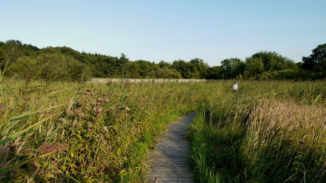
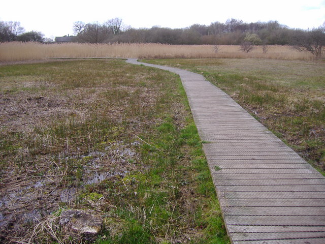
The woodland is accessible to the public, with several footpaths and trails winding through the plantation, allowing visitors to explore the natural beauty of the area. The paths are well-maintained and offer opportunities for walking, jogging, or simply enjoying a peaceful stroll in nature.
Overall, Ash Plantation in Norfolk is a picturesque and ecologically significant woodland, offering a tranquil escape and a chance to connect with the natural world.
If you have any feedback on the listing, please let us know in the comments section below.
Ash Plantation Images
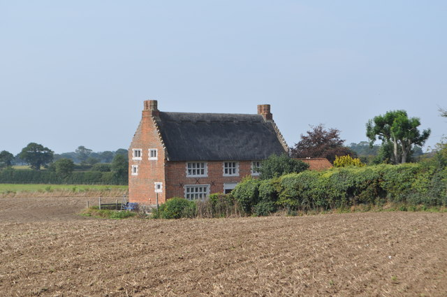
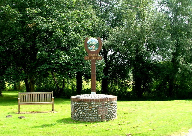
Images are sourced within 2km of 52.865531/1.38478 or Grid Reference TG2735. Thanks to Geograph Open Source API. All images are credited.


Ash Plantation is located at Grid Ref: TG2735 (Lat: 52.865531, Lng: 1.38478)
Administrative County: Norfolk
District: North Norfolk
Police Authority: Norfolk
What 3 Words
///helpless.lovely.intention. Near Mundesley, Norfolk
Nearby Locations
Related Wikis

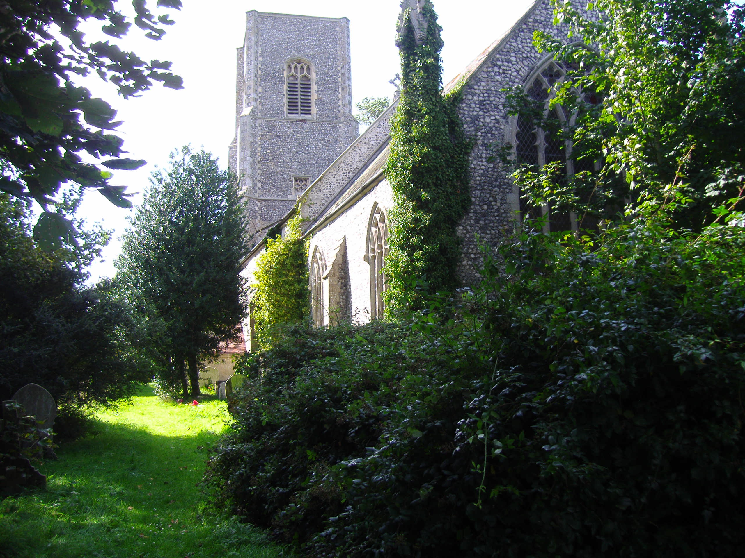
Trunch
Trunch is a village and parish in Norfolk, England, situated three miles north of North Walsham and two miles from the coast at Mundesley. At the Census...

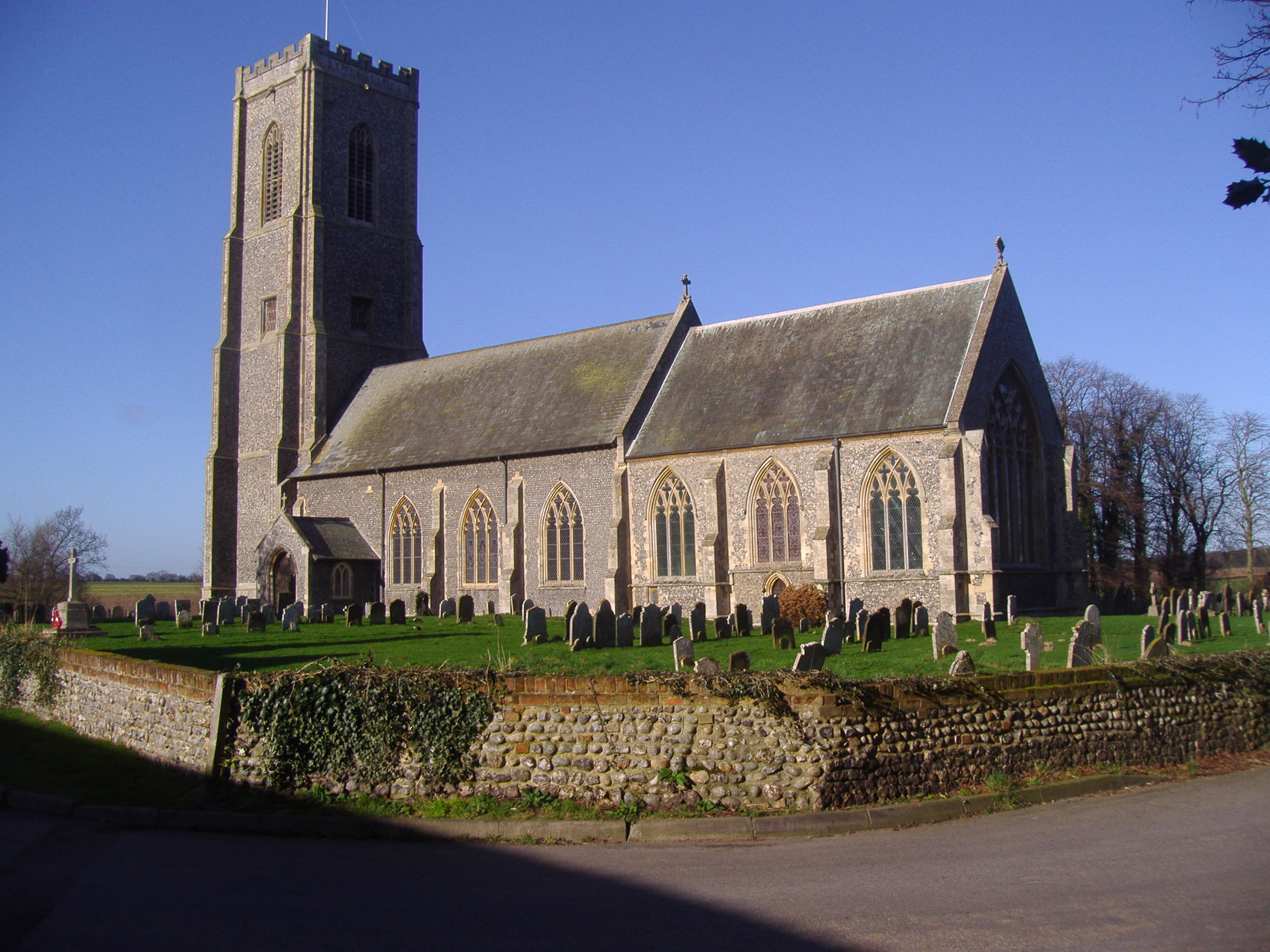
Gimingham
Gimingham is a village and civil parish in the English county of Norfolk. Gimingham has no shops, but has a Church, a pond and a preserved Water Mill....
Southrepps Common
Southrepps Common is a 5.6-hectare (14-acre) biological Site of Special Scientific Interest north of North Walsham in Norfolk. A larger area of 12.9-hectare...
Bradfield, Norfolk
Bradfield is a village and former civil parish, now in the parish of Swafield, in the North Norfolk district, in the county of Norfolk, England. The village...
Southrepps
Southrepps is a village and a civil parish in the English county of Norfolk. The village is 5.2 miles (8.4 km) southeast of Cromer, 21.9 miles (35.2 km...
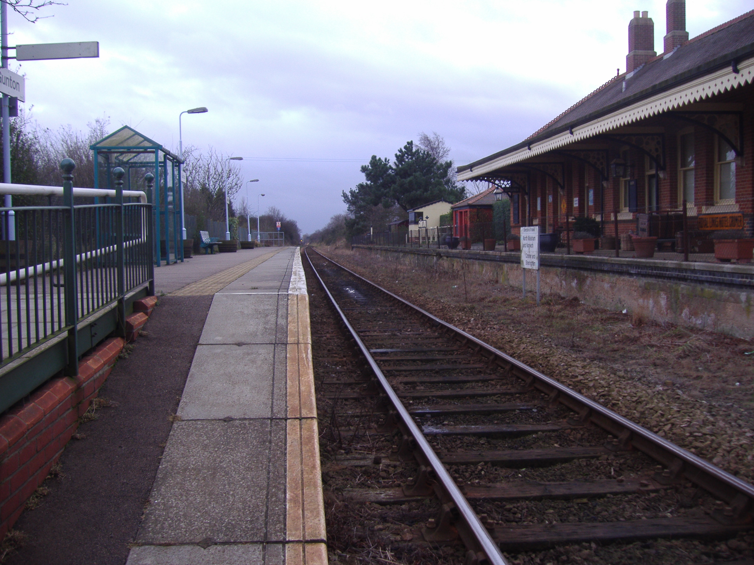
Gunton railway station
Gunton railway station on the Bittern Line in Norfolk, England, serves the villages of Lower Street, Thorpe Market and Southrepps. It is 19 miles 63 chains...

Antingham
Antingham is a village and civil parish in the north of the English county of Norfolk. The village is located about 6 miles (9.7 km) south of Cromer and...

Knapton Cutting
Knapton Cutting Butterfly Reserve is a 0.9-hectare (2.2-acre) Local Nature Reserve (LNR) south of Knapton in Norfolk. It is owned and managed by North...
Have you been to Ash Plantation?
Leave your review of Ash Plantation below (or comments, questions and feedback).