Culyer's Grove
Wood, Forest in Norfolk South Norfolk
England
Culyer's Grove
Culyer's Grove is a picturesque woodland located in Norfolk, England. It is known for its natural beauty and diverse range of flora and fauna. The grove is situated in the heart of the Norfolk countryside, surrounded by rolling hills and meandering streams.
Covering an area of approximately 500 acres, Culyer's Grove is characterized by its dense woodland of towering trees, including oak, beech, and ash. The forest floor is carpeted with a rich variety of wildflowers, creating a vibrant and colorful landscape during the spring and summer months. This abundance of plant life provides a habitat for numerous animal species, such as deer, badgers, and foxes, which can often be spotted roaming through the grove.
The woodland is crisscrossed by a network of well-maintained footpaths, allowing visitors to explore the area and enjoy the tranquil surroundings. These paths lead to hidden clearings and secluded picnic spots, where one can relax and immerse themselves in the peaceful ambiance of the grove.
Culyer's Grove is a popular destination for nature lovers, walkers, and photographers, who are drawn to its natural beauty and tranquility. The grove offers a perfect escape from the hustle and bustle of city life, providing a peaceful retreat for those seeking solace in nature.
In conclusion, Culyer's Grove is a stunning woodland in Norfolk, offering a haven of natural beauty and serenity. Its lush vegetation, diverse wildlife, and well-maintained footpaths make it an ideal destination for outdoor enthusiasts and those looking to reconnect with nature.
If you have any feedback on the listing, please let us know in the comments section below.
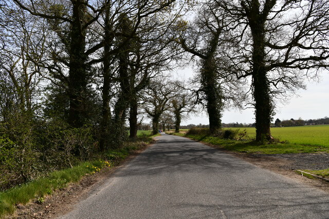
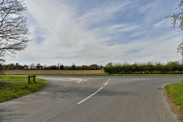
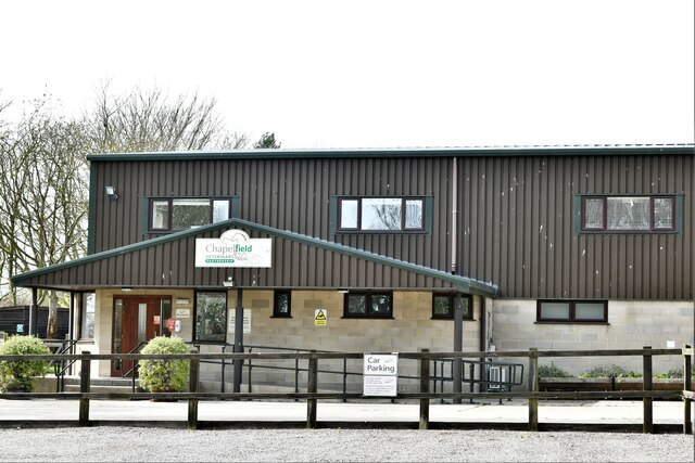
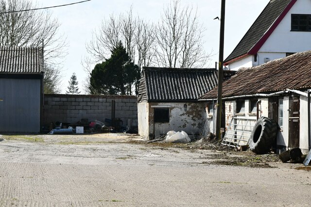
Culyer's Grove Images
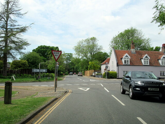
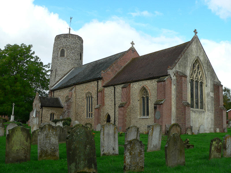
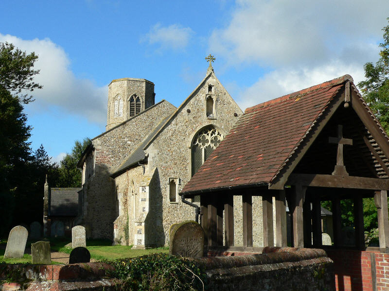
Images are sourced within 2km of 52.543888/1.3575693 or Grid Reference TM2799. Thanks to Geograph Open Source API. All images are credited.


Culyer's Grove is located at Grid Ref: TM2799 (Lat: 52.543888, Lng: 1.3575693)
Administrative County: Norfolk
District: South Norfolk
Police Authority: Norfolk
What 3 Words
///rectangular.contracts.swooning. Near Brooke, Norfolk
Nearby Locations
Related Wikis

Howe, Norfolk
Howe is a village and civil parish in South Norfolk, England. It is situated between Poringland, Brooke and Shotesham. It covers an area of 3.20 km2...
Brooke, Norfolk
Brooke is a village and civil parish in the South Norfolk district of Norfolk, England, about 7 miles south of Norwich and roughly equidistant from Norwich...

Shotesham
Shotesham () is a village in South Norfolk which lies approximately 5 miles south of Norwich. It sits next to Stoke Holy Cross and Saxlingham Nethergate...
Poringland
Poringland is a village in the district of South Norfolk, England. It lies 5 miles (8.0 km) south of Norwich city centre and 10 miles (16 km) north of...
Nearby Amenities
Located within 500m of 52.543888,1.3575693Have you been to Culyer's Grove?
Leave your review of Culyer's Grove below (or comments, questions and feedback).