Cut Plantation
Wood, Forest in Norfolk Broadland
England
Cut Plantation

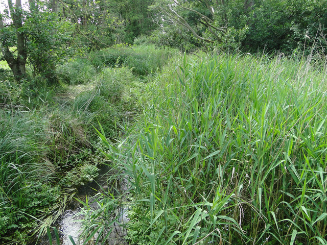
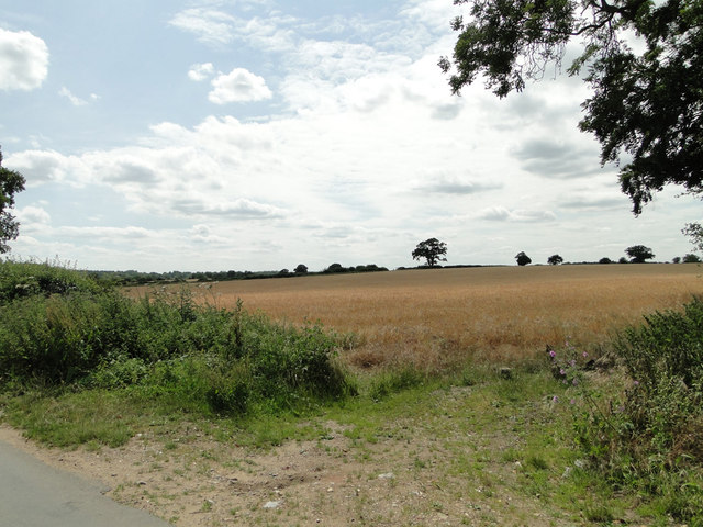
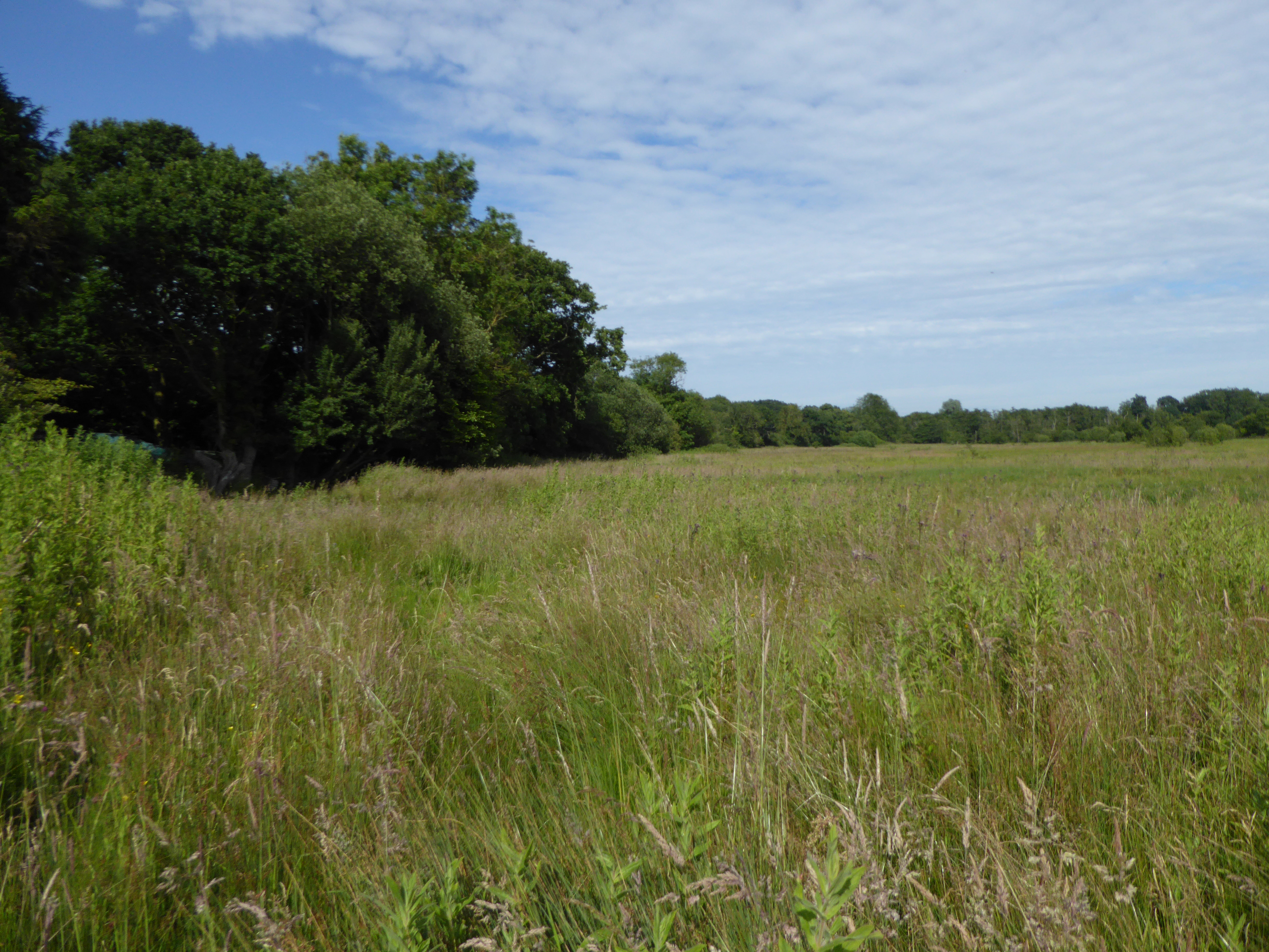
Cut Plantation is a dense woodland located in Norfolk, England. Spanning over a vast area, it is a significant part of the region's natural landscape. The plantation is predominantly composed of various species of trees, including oak, beech, and pine, which contribute to its rich biodiversity.
The woodland is well-known for its dense and lush vegetation, creating a serene and tranquil atmosphere. The trees in Cut Plantation form a dense canopy, providing ample shade and shelter for an array of wildlife. It serves as a habitat for numerous bird species, such as woodpeckers, owls, and thrushes, making it a popular spot for birdwatching enthusiasts.
Moreover, the woodland is home to an abundance of small mammals, including foxes, rabbits, and squirrels. The diverse range of flora and fauna in Cut Plantation makes it an ideal location for nature lovers and wildlife photographers alike.
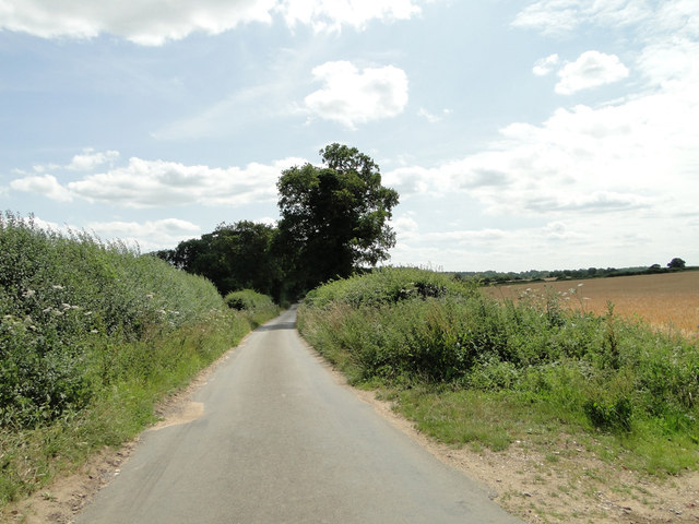
In addition to its ecological importance, Cut Plantation offers recreational opportunities for visitors. The woodland has well-maintained trails that allow hikers, joggers, and cyclists to explore its picturesque surroundings. Furthermore, there are designated picnic areas where families and friends can enjoy a peaceful lunch amidst nature.
Overall, Cut Plantation is a captivating woodland in Norfolk, offering a harmonious blend of natural beauty and recreational activities. Its dense vegetation, diverse wildlife, and well-maintained trails make it a haven for nature enthusiasts and a valuable asset to the local environment.
If you have any feedback on the listing, please let us know in the comments section below.
Cut Plantation Images
Images are sourced within 2km of 52.698471/1.3678023 or Grid Reference TG2716. Thanks to Geograph Open Source API. All images are credited.


Cut Plantation is located at Grid Ref: TG2716 (Lat: 52.698471, Lng: 1.3678023)
Administrative County: Norfolk
District: Broadland
Police Authority: Norfolk
What 3 Words
///reinvest.looms.triangles. Near Coltishall, Norfolk
Nearby Locations
Related Wikis

River Hor
The River Hor is a short river in the county of Norfolk, England. It runs 13.3 kilometres (8.3 mi) east from its source near Felthorpe to its confluence...
Crostwick Marsh
Crostwick Marsh is an 11.6-hectare (29-acre) biological Site of Special Scientific Interest in Crostwick, north of Norwich in Norfolk. It is part of the...

Crostwick
Crostwick is a village in the English county of Norfolk. The village is part of the civil parish of Horstead with Stanninghall. Crostwick is located 2...

Wroxham F.C.
Wroxham Football Club is a football club based in Wroxham, Norfolk, England. They are currently members of the Isthmian League North Division and play...

Trafford Mausoleum, Wroxham
The Trafford Mausoleum, is a memorial in Wroxham, Norfolk, England. Commissioned after the death of Sigismund Trafford Southwell in 1827, the mausoleum...
Milestones Hospital
Milestones Hospital [ˈmaɪlstəʊnz ˈhɒspɪtl] is a 10-bed mental hospital for women at Catfield, Norfolk. Milestones is owned by the Atarrah Project Ltd....

Belaugh
Belaugh is a small village (population 105) increasing to 134 at the 2011 Census, that occupies a bend in the River Bure in Norfolk, England - within The...
Rackheath
Rackheath is a village and civil parish in the English county of Norfolk, and is roughly 6 miles (9.7 km) north-east of Norwich city centre. It covers...
Nearby Amenities
Located within 500m of 52.698471,1.3678023Have you been to Cut Plantation?
Leave your review of Cut Plantation below (or comments, questions and feedback).