Fir Covert
Wood, Forest in Norfolk Broadland
England
Fir Covert

Fir Covert, Norfolk is a picturesque woodland located in the eastern region of England. Situated in the county of Norfolk, this forested area is known for its dense population of fir trees, which lend their name to the covert. The woodland covers a vast area, offering a tranquil and serene environment for visitors to explore.
Fir Covert boasts a rich biodiversity, with various species of flora and fauna thriving within its boundaries. The towering fir trees dominate the landscape, creating a dense canopy that provides shade and shelter for the woodland's inhabitants. The forest floor is covered in a thick layer of fallen leaves and moss, creating a soft carpet-like texture underfoot.
Visitors to Fir Covert can expect to encounter a range of wildlife, including squirrels, rabbits, and a variety of bird species. The forest is particularly popular amongst birdwatchers, as it provides an ideal habitat for many different types of birds, including woodpeckers, owls, and finches.
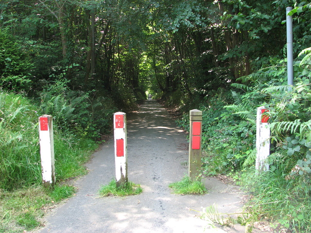
The woodland offers numerous walking trails and paths that wind through the trees, allowing visitors to immerse themselves in the natural beauty of Fir Covert. With its peaceful atmosphere and stunning scenery, it is a popular destination for nature enthusiasts and those seeking a break from the hustle and bustle of everyday life.
Fir Covert, Norfolk is a hidden gem, offering a tranquil retreat for those seeking solace in nature's embrace. Whether it's a leisurely stroll or an opportunity to observe the local wildlife, this woodland sanctuary is sure to enchant visitors with its beauty and serenity.
If you have any feedback on the listing, please let us know in the comments section below.
Fir Covert Images
Images are sourced within 2km of 52.661059/1.3629853 or Grid Reference TG2712. Thanks to Geograph Open Source API. All images are credited.


Fir Covert is located at Grid Ref: TG2712 (Lat: 52.661059, Lng: 1.3629853)
Administrative County: Norfolk
District: Broadland
Police Authority: Norfolk
What 3 Words
///fits.depend.orbit. Near Rackheath, Norfolk
Nearby Locations
Related Wikis

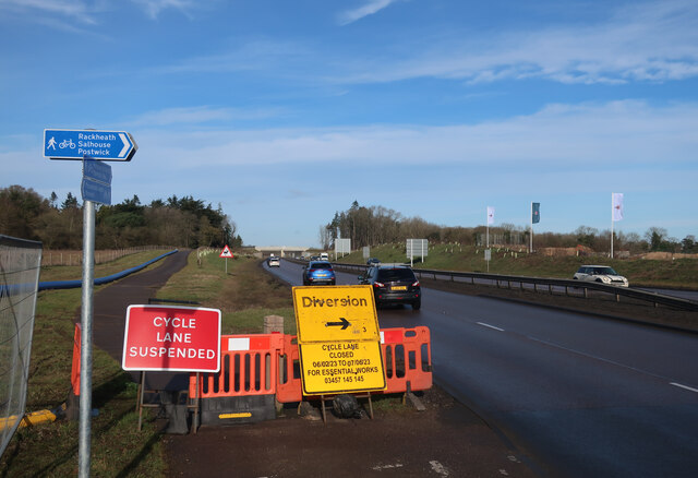
Norwich Northern Distributor Road
The Norwich Northern Distributor Road, now officially named the Broadland Northway (but also known as the NDR) is a 12.4 mi (20.0 km) dual-carriageway...
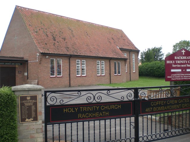
Rackheath
Rackheath is a village and civil parish in the English county of Norfolk, and is roughly 6 miles (9.7 km) north-east of Norwich city centre. It covers...
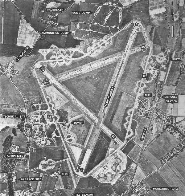
RAF Rackheath
Royal Air Force Rackheath, more commonly known as RAF Rackheath, is a former Royal Air Force station located near the village of Rackheath, approximately...

Rackheath Eco-town
The Rackheath Eco-town is a proposal for just over 5,000 houses to be built in the Rackheath area, in Norfolk, within a mile of The Broads National Park...
Nearby Amenities
Located within 500m of 52.661059,1.3629853Have you been to Fir Covert?
Leave your review of Fir Covert below (or comments, questions and feedback).