Parsonage Wood
Wood, Forest in Suffolk East Suffolk
England
Parsonage Wood

Parsonage Wood is a picturesque woodland located in Suffolk, England. Covering an area of approximately 50 acres, this enchanting forest is nestled within the heart of the countryside and offers visitors a tranquil and serene environment to explore.
The wood is predominantly made up of ancient oak trees, some of which are believed to be over 300 years old, creating a dense canopy that provides shade and shelter for a variety of wildlife. The forest floor is carpeted with a rich diversity of flora, including bluebells, primroses, and wild garlic, which bloom in vibrant colors during the spring months.
Parsonage Wood is home to a myriad of bird species, making it a haven for birdwatchers. Visitors may spot woodpeckers, tawny owls, and various songbirds, filling the air with their melodic tunes. Other wildlife, such as foxes, deer, and squirrels, can also be observed, adding to the natural charm of the wood.
The woodland is crisscrossed by a network of well-maintained paths, allowing visitors to navigate through the forest and discover its hidden treasures. These paths lead to a small stream that meanders through the wood, providing a peaceful spot for a picnic or a gentle stroll along its banks.
Parsonage Wood is a popular destination for nature enthusiasts, hikers, and families looking to escape the hustle and bustle of everyday life. Whether it's a leisurely walk, birdwatching, or simply immersing oneself in the beauty of nature, this enchanting forest offers a memorable experience for all who visit.
If you have any feedback on the listing, please let us know in the comments section below.
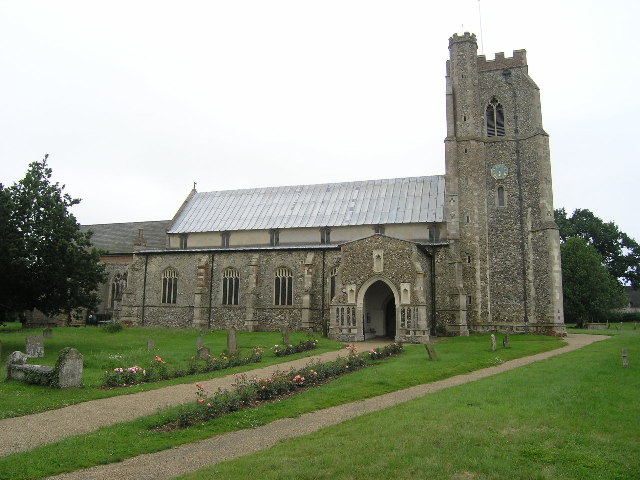
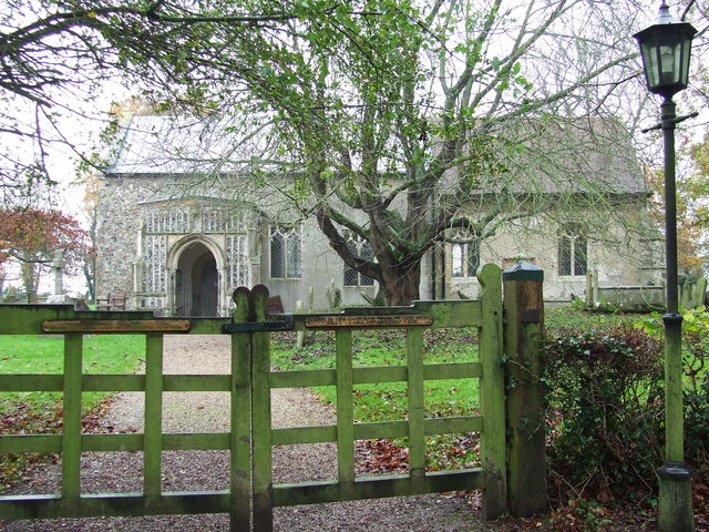
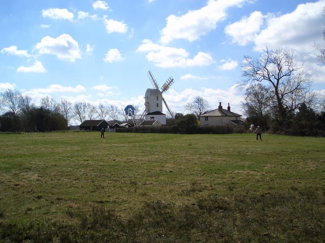
Parsonage Wood Images
Images are sourced within 2km of 52.249102/1.3311883 or Grid Reference TM2766. Thanks to Geograph Open Source API. All images are credited.


Parsonage Wood is located at Grid Ref: TM2766 (Lat: 52.249102, Lng: 1.3311883)
Administrative County: Suffolk
District: East Suffolk
Police Authority: Suffolk
What 3 Words
///sapping.insurers.defected. Near Framlingham, Suffolk
Nearby Locations
Related Wikis
Dennington
Dennington is a village and civil parish in the English county of Suffolk. It is 2 miles (3.2 km) north of Framlingham and 15 miles (24 km) north-east...
Saxtead
Saxtead is a small village in the East Suffolk district, in the county of Suffolk. Saxtead gives its name to the settlements of Saxtead Green and Saxtead...

Thomas Mills High School
Thomas Mills High School is a co-educational secondary school and sixth form with academy status in Framlingham, Suffolk, England. The current headteacher...
Framlingham College
Framlingham College is a public school (boarding and day school) in the town of Framlingham, near Woodbridge, Suffolk, England. Together with its preparatory...
Saxtead Green
Saxtead Green is a village on the A1120 road and the B1119 road, near the village of Saxtead and the town of Framlingham, in the East Suffolk district...

Saxtead Green Windmill
Saxtead Green Post Windmill is a Grade II* listed post mill at Saxtead Green, Woodbridge, Suffolk, England which is also a Scheduled monument and has been...

Framlingham Mere
Framlingham Mere is a 13.8-hectare nature reserve in Framlingham in Suffolk. It is managed by the Suffolk Wildlife Trust.This site has a lake and wet meadows...

Framlingham Castle
Framlingham Castle is a castle in the market town of Framlingham, Suffolk, England. An early motte and bailey or ringwork Norman castle was built on the...
Nearby Amenities
Located within 500m of 52.249102,1.3311883Have you been to Parsonage Wood?
Leave your review of Parsonage Wood below (or comments, questions and feedback).