Deal Plantation
Wood, Forest in Norfolk South Norfolk
England
Deal Plantation
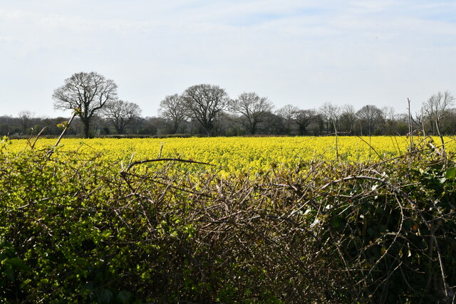
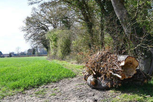
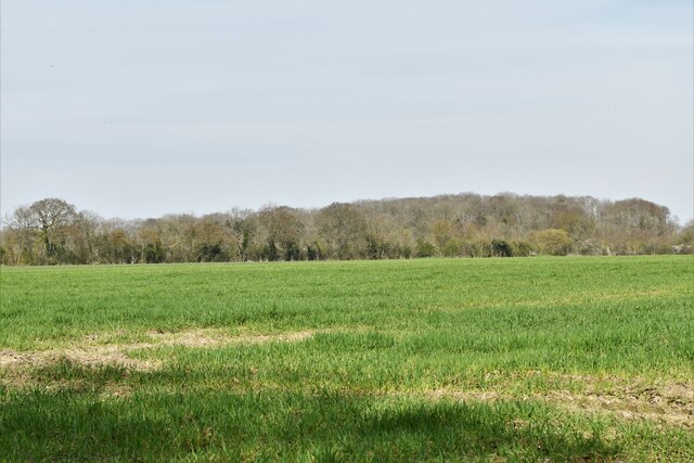
Deal Plantation, located in Norfolk, is a picturesque woodland area known for its abundant natural beauty and rich historical significance. Spanning over a vast expanse, the plantation covers approximately 500 acres of land, primarily consisting of dense forests and lush greenery.
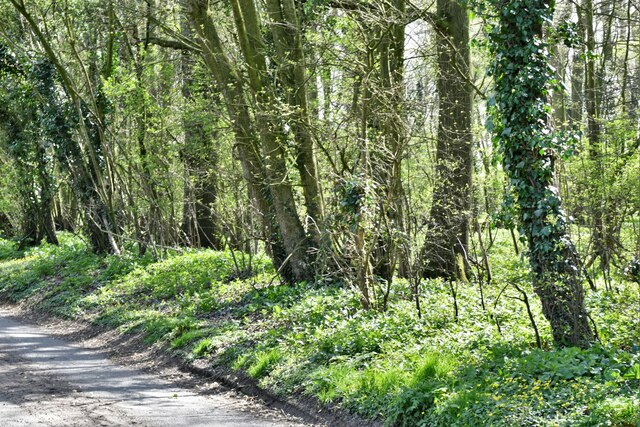
The woodland is home to a diverse range of tree species, including oak, pine, and beech, which create a majestic canopy overhead. These trees provide a haven for various wildlife species such as deer, foxes, and numerous bird species, making it a popular destination for nature enthusiasts and birdwatchers alike.
Deal Plantation has a long and storied history, dating back to the 17th century. Originally used for timber production, the plantation played a crucial role in supplying wood for shipbuilding during the heyday of Norfolk's maritime industry. Over the years, the plantation has undergone various management practices to ensure the sustainability of its resources while preserving its natural beauty.
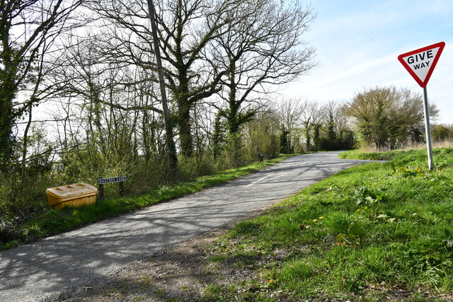
Today, Deal Plantation offers visitors a tranquil escape from the hustle and bustle of urban life. The plantation features well-maintained walking trails that meander through the woodland, allowing visitors to explore its serene landscapes at their own pace. Additionally, the plantation provides educational opportunities for visitors to learn about the history and ecology of the area.
In conclusion, Deal Plantation in Norfolk is a remarkable woodland area that offers a harmonious blend of natural beauty and historical significance. With its diverse plant and animal life, it provides a haven for nature lovers and serves as a testament to the region's rich heritage.
If you have any feedback on the listing, please let us know in the comments section below.
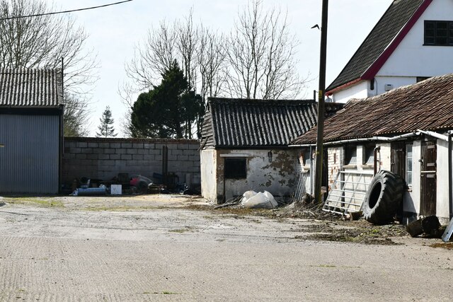
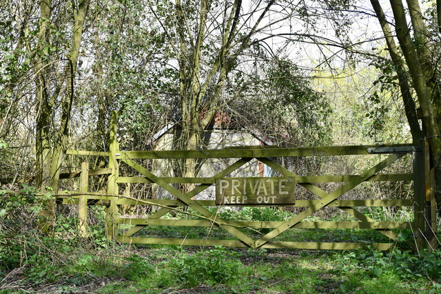
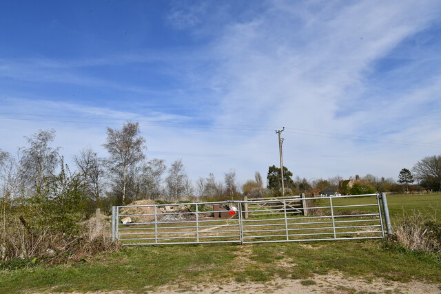
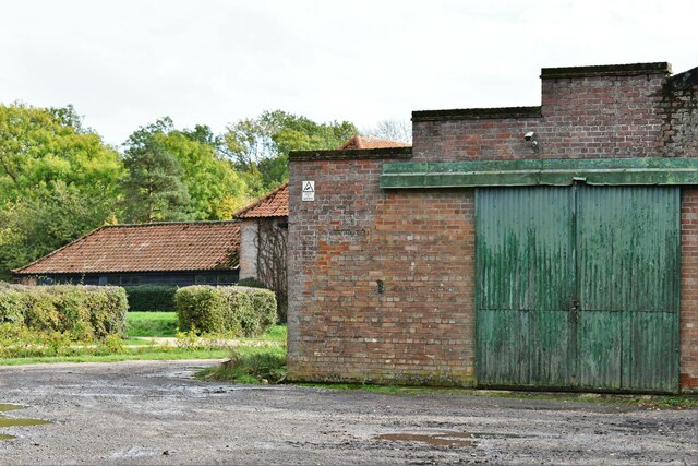
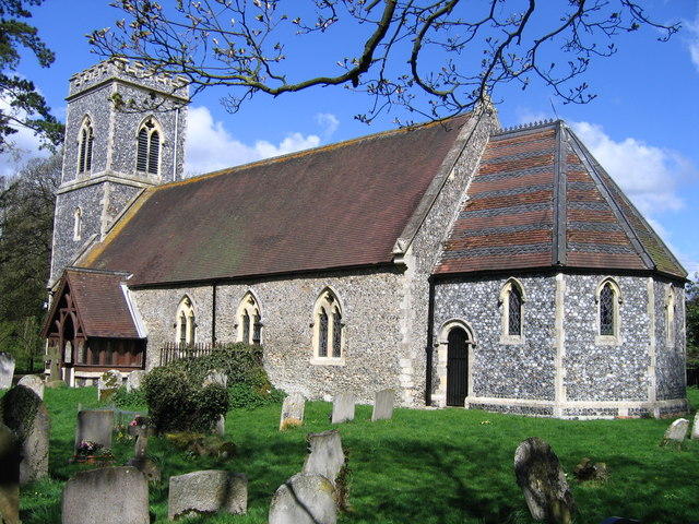
Deal Plantation Images
Images are sourced within 2km of 52.515928/1.3457642 or Grid Reference TM2796. Thanks to Geograph Open Source API. All images are credited.


Deal Plantation is located at Grid Ref: TM2796 (Lat: 52.515928, Lng: 1.3457642)
Administrative County: Norfolk
District: South Norfolk
Police Authority: Norfolk
What 3 Words
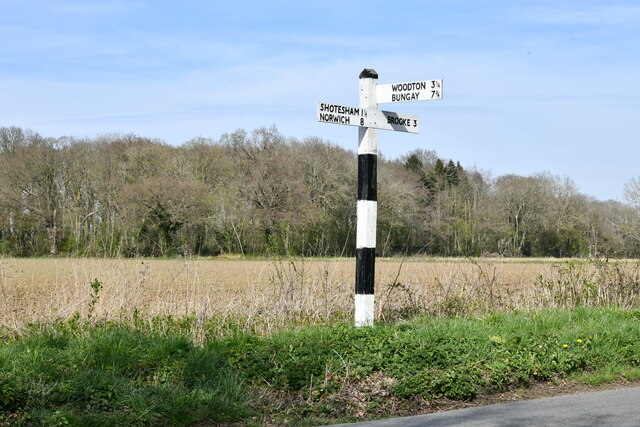
///marinated.zips.purist. Near Brooke, Norfolk
Nearby Locations
Related Wikis

Shotesham-Woodton Hornbeam Woods
Shotesham-Woodton Hornbeam Woods is a 40.4-hectare (100-acre) biological Site of Special Scientific Interest east of Newton Flotman in Norfolk.This site...

Kirstead Green
Kirstead Green is a village in the English county of Norfolk. Administratively it is part of the civil parish of Kirstead within the district of South...
Kirstead
Kirstead is a civil parish in the English county of Norfolk. The main settlement is Kirstead Green. The parish covers an area of 4.19 km2 (1.62 sq mi)...

Woodton
Woodton is a village and civil parish in the English county of Norfolk. It is situated some 7 km north-west of the Suffolk town of Bungay, and 20 km south...
Nearby Amenities
Located within 500m of 52.515928,1.3457642Have you been to Deal Plantation?
Leave your review of Deal Plantation below (or comments, questions and feedback).