Cutter's Grove
Wood, Forest in Suffolk East Suffolk
England
Cutter's Grove
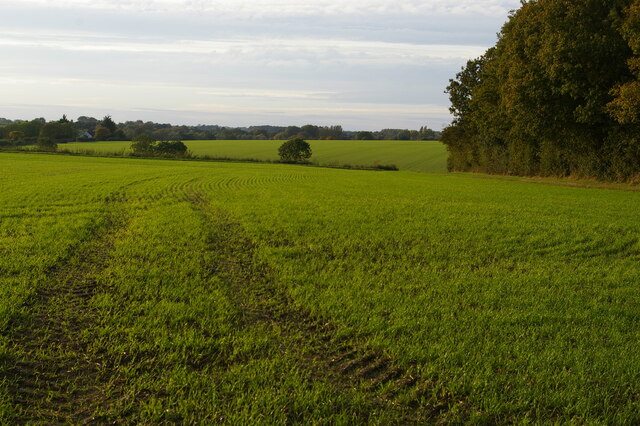
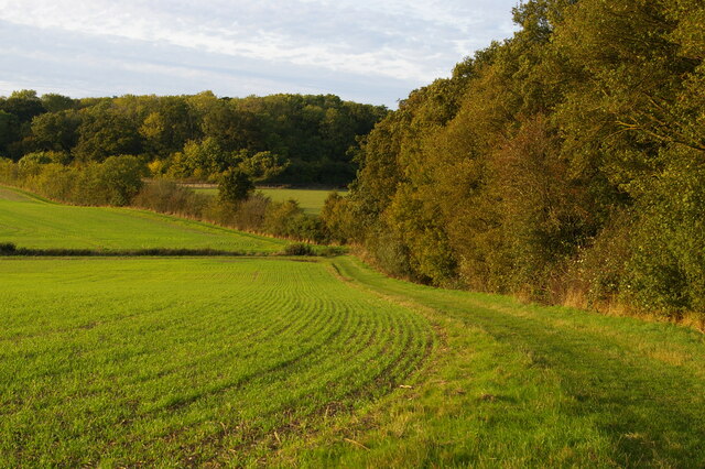
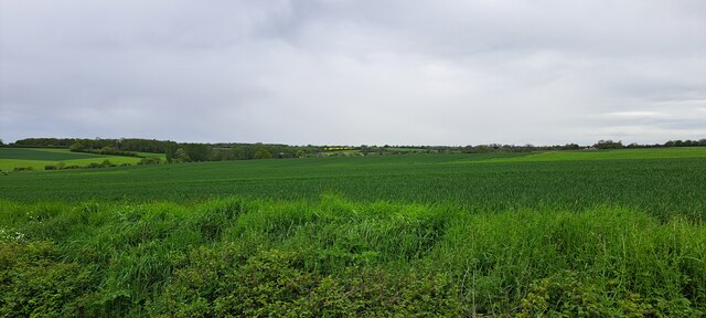
Cutter's Grove is a picturesque woodland located in Suffolk, England. Nestled within the heart of the county, this enchanting forest is a haven for nature enthusiasts and outdoor adventurers alike. Spanning over a vast area, Cutter's Grove is renowned for its dense canopy of trees, making it a true haven for wildlife and a popular destination for hikers and nature lovers.
The forest boasts an impressive variety of tree species, including oak, beech, and pine, creating a diverse and captivating landscape. The towering trees provide ample shade and a tranquil atmosphere, making it an ideal spot for a leisurely stroll or a peaceful picnic. The forest floor is carpeted with a lush carpet of ferns, mosses, and wildflowers, adding to the area's natural beauty and charm.
Cutter's Grove is crisscrossed by a network of well-maintained trails, allowing visitors to explore the forest at their own pace. These paths wind their way through the woodland, offering glimpses of wildlife such as deer, squirrels, and a wide variety of birds. Nature enthusiasts will delight in the opportunity to observe and appreciate the local flora and fauna in their natural habitat.
In addition to its natural wonders, Cutter's Grove also features several amenities for visitors, including picnic areas, benches, and information boards that provide insights into the forest's history and biodiversity. The forest is easily accessible by car and public transport, with ample parking available nearby.
Whether seeking solace in nature or embarking on an adventure through the woods, Cutter's Grove is a must-visit destination for anyone looking to immerse themselves in the beauty of Suffolk's woodlands.
If you have any feedback on the listing, please let us know in the comments section below.
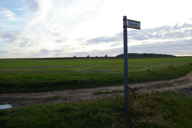
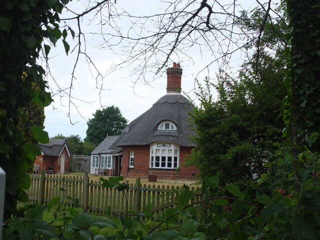
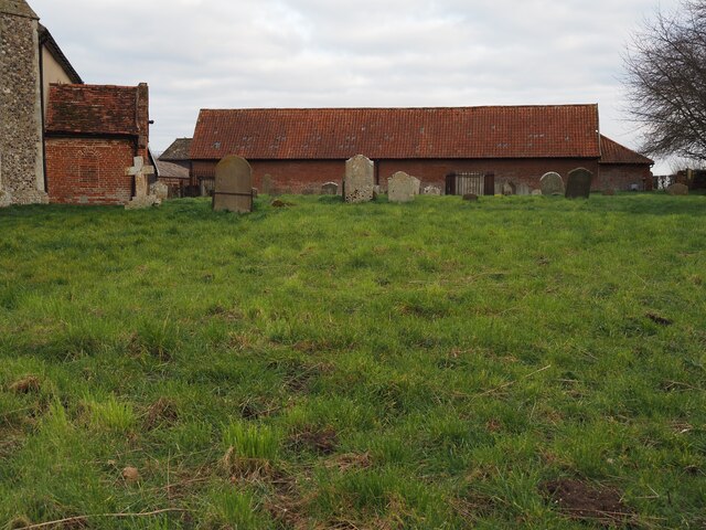
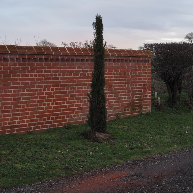
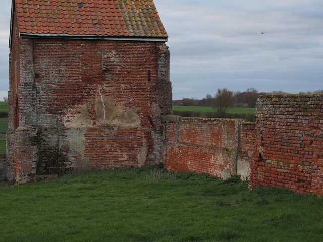
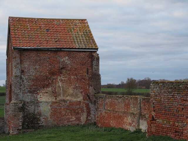
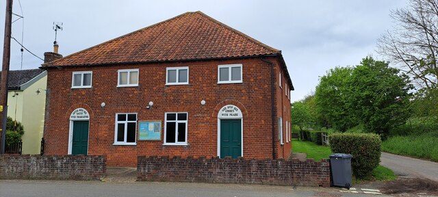
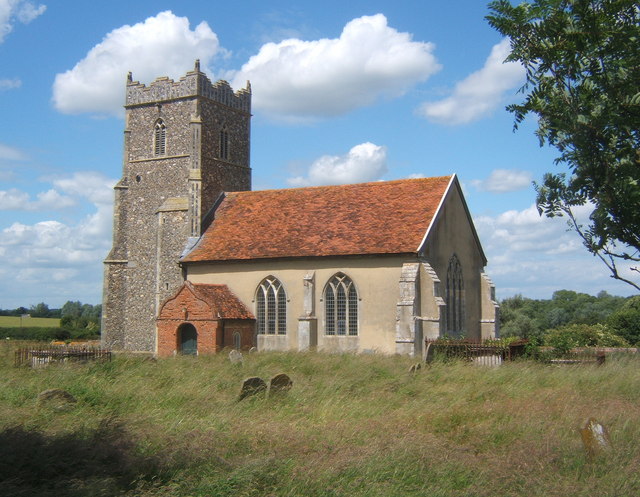
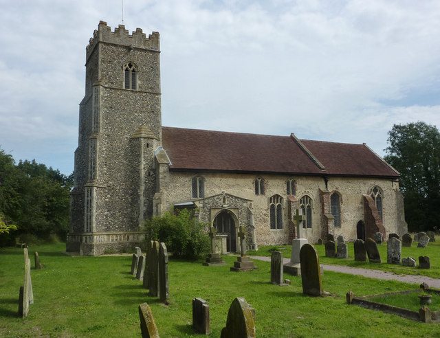
Cutter's Grove Images
Images are sourced within 2km of 52.171806/1.3104269 or Grid Reference TM2657. Thanks to Geograph Open Source API. All images are credited.


Cutter's Grove is located at Grid Ref: TM2657 (Lat: 52.171806, Lng: 1.3104269)
Administrative County: Suffolk
District: East Suffolk
Police Authority: Suffolk
What 3 Words
///invoices.feasted.kindest. Near Wickham Market, Suffolk
Nearby Locations
Related Wikis
Letheringham
Letheringham is a sparsely populated civil parish in the East Suffolk district (formerly Deben Rural District and then Suffolk Coastal) in Suffolk, England...
Kettleburgh
Kettleburgh is a small village and civil parish in the East Suffolk district, in the county of Suffolk. The population of this Civil Parish at the 2011...

Hoo, Suffolk
Hoo is a village and civil parish in the East Suffolk district of the English county of Suffolk. It is located 3 miles (4.8 km) north-west of the town...

Charsfield
Charsfield is a small Suffolk village of 342 residents, 3 miles (4.8 km) from Wickham Market, 7 miles (11 km) from Woodbridge and 12 miles (19 km) from...
Have you been to Cutter's Grove?
Leave your review of Cutter's Grove below (or comments, questions and feedback).