Baxter's Grove
Wood, Forest in Norfolk South Norfolk
England
Baxter's Grove
Baxter's Grove, located in Norfolk, is a picturesque woodland area known for its lush greenery and serene ambiance. This enchanting forest, also referred to as Baxter's Grove Wood, is a popular destination for nature lovers and outdoor enthusiasts. Spanning approximately 200 acres, it offers a diverse range of flora and fauna, making it a haven for wildlife.
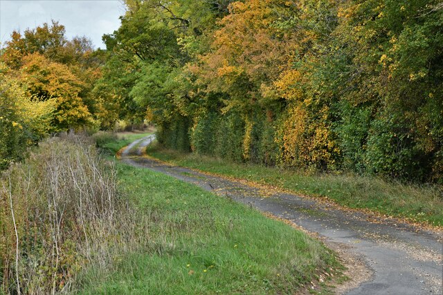
The grove is characterized by towering trees, predominantly oak and beech, which create a dense canopy that filters sunlight and creates a cool, shaded environment. The forest floor is carpeted with a variety of wildflowers, ferns, and moss, adding to its ethereal beauty. Several well-maintained trails wind through the wood, providing visitors with the opportunity to explore its hidden gems and discover the serenity of nature.
Baxter's Grove is home to a diverse range of wildlife, including deer, foxes, and numerous bird species. Birdwatchers can catch glimpses of woodpeckers, owls, and various songbirds as they traverse the woodland paths. The tranquil atmosphere and abundant wildlife make it an idyllic spot for nature photography and birdwatching.
In addition to its natural beauty, Baxter's Grove also offers recreational activities for visitors. There are designated picnic areas and benches where visitors can relax and enjoy a meal amidst the tranquil surroundings. The grove is also a popular spot for walking, jogging, and cycling, with its well-maintained trails providing a scenic and peaceful setting for outdoor exercise.
Overall, Baxter's Grove in Norfolk is a captivating woodland retreat that offers a perfect blend of natural beauty and recreational opportunities. Its serene atmosphere, diverse wildlife, and well-maintained trails make it an ideal destination for those seeking solace in nature.
If you have any feedback on the listing, please let us know in the comments section below.
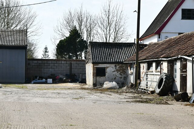
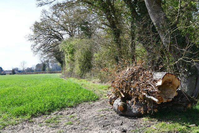
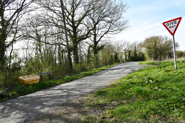
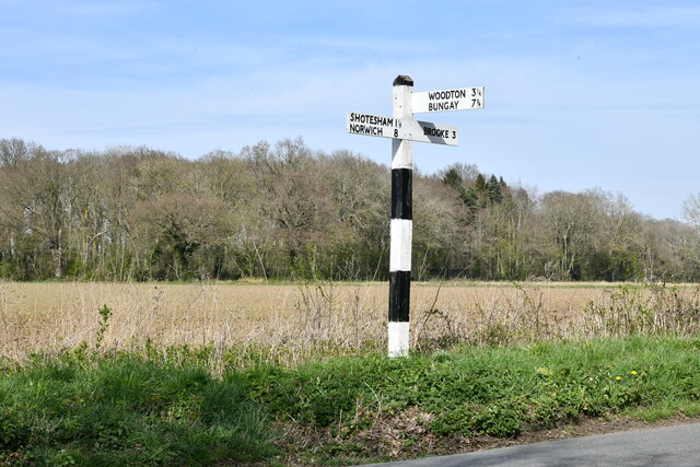
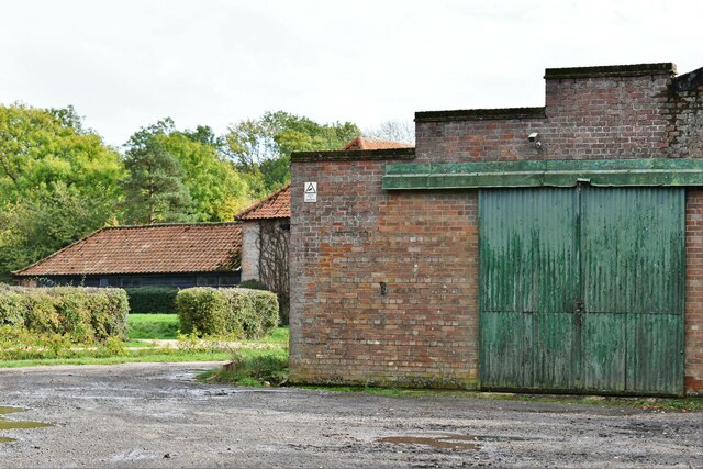
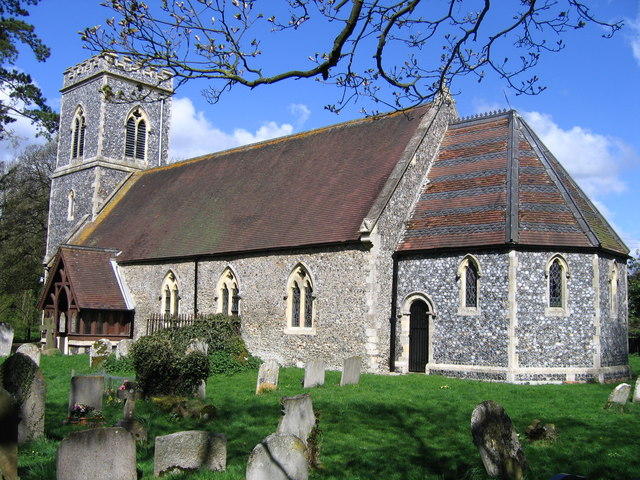
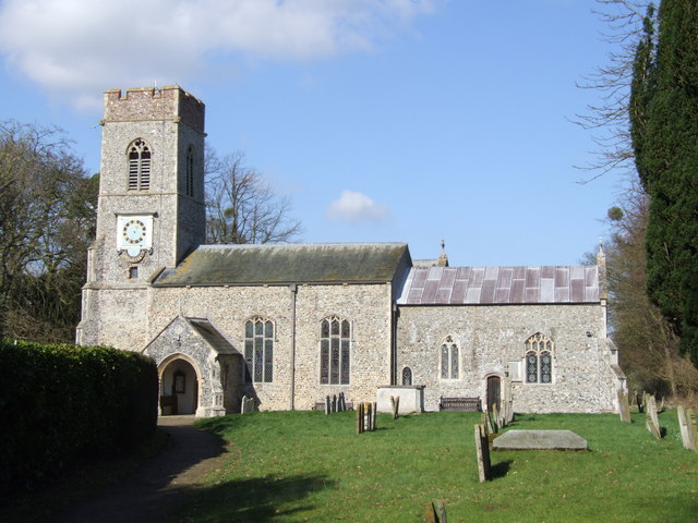
Baxter's Grove Images
Images are sourced within 2km of 52.529768/1.3369216 or Grid Reference TM2697. Thanks to Geograph Open Source API. All images are credited.


Baxter's Grove is located at Grid Ref: TM2697 (Lat: 52.529768, Lng: 1.3369216)
Administrative County: Norfolk
District: South Norfolk
Police Authority: Norfolk
What 3 Words
///driving.eager.unsigned. Near Brooke, Norfolk
Nearby Locations
Related Wikis

Shotesham-Woodton Hornbeam Woods
Shotesham-Woodton Hornbeam Woods is a 40.4-hectare (100-acre) biological Site of Special Scientific Interest east of Newton Flotman in Norfolk.This site...

Shotesham
Shotesham () is a village in South Norfolk which lies approximately 5 miles south of Norwich. It sits next to Stoke Holy Cross and Saxlingham Nethergate...

Howe, Norfolk
Howe is a village and civil parish in South Norfolk, England. It is situated between Poringland, Brooke and Shotesham. It covers an area of 3.20 km2...

Kirstead Green
Kirstead Green is a village in the English county of Norfolk. Administratively it is part of the civil parish of Kirstead within the district of South...

Shotesham Common
Shotesham Common is a 21.6-hectare (53-acre) biological Site of Special Scientific Interest south of Norwich in Norfolk.This site consists of traditionally...
Kirstead
Kirstead is a civil parish in the English county of Norfolk. The main settlement is Kirstead Green. The parish covers an area of 4.19 km2 (1.62 sq mi)...
Saxlingham Nethergate
Saxlingham Nethergate is a village and civil parish in Norfolk, England, about 9.5 miles (15 km) south of Norwich. The civil parish has an area of 3.3...
Brooke, Norfolk
Brooke is a village and civil parish in the South Norfolk district of Norfolk, England, about 7 miles south of Norwich and roughly equidistant from Norwich...
Nearby Amenities
Located within 500m of 52.529768,1.3369216Have you been to Baxter's Grove?
Leave your review of Baxter's Grove below (or comments, questions and feedback).