Bromley Wood
Wood, Forest in Kent Dover
England
Bromley Wood
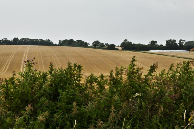
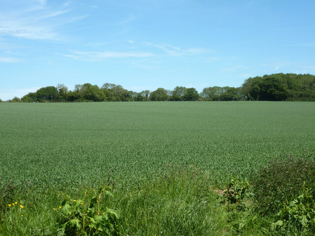
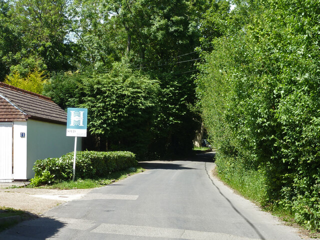
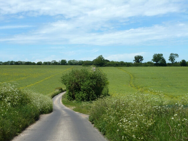
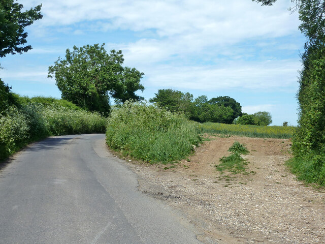
Bromley Wood is a picturesque woodland area located in the county of Kent, England. Spanning over 100 acres, this enchanting forest is nestled amidst the rolling hills and meandering streams of the Kentish countryside. It is situated just a few miles away from the bustling town of Bromley, making it easily accessible for nature enthusiasts and locals alike.
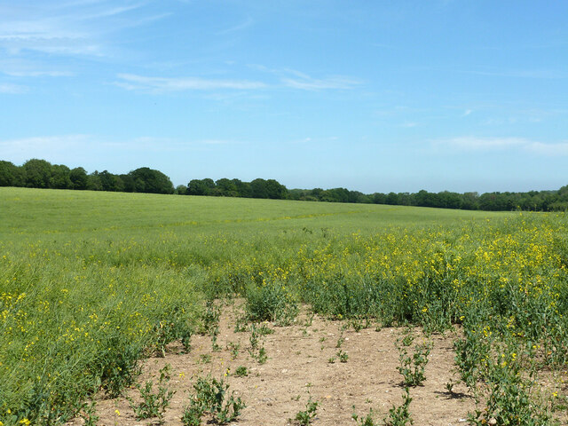
The wood is predominantly composed of native British tree species, including oak, beech, and ash, which form a dense canopy overhead. This creates a serene and tranquil atmosphere, making it a popular destination for walkers, hikers, and birdwatchers. The forest floor is rich with a diverse range of flora, such as bluebells, wood anemones, and wild garlic, which add vibrant splashes of color to the landscape, particularly during the spring months.
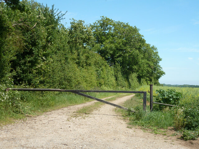
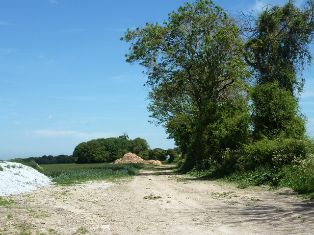
Bromley Wood is also home to a variety of wildlife. Visitors may catch glimpses of squirrels, badgers, and foxes as they explore the woodland trails. The area is well-maintained, with clearly marked paths and picnic areas, making it an ideal spot for families and outdoor enthusiasts to enjoy a day out in nature.
In addition to its natural beauty, the wood holds historical significance, with evidence of human activity dating back centuries. Archaeological finds have uncovered remnants of Iron Age settlements, highlighting the long-standing connection between humans and the land.
Overall, Bromley Wood offers a peaceful retreat for those seeking to escape the hustle and bustle of urban life and immerse themselves in the tranquility of nature.
If you have any feedback on the listing, please let us know in the comments section below.
Bromley Wood Images
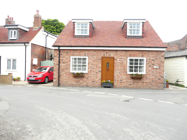
Images are sourced within 2km of 51.1972/1.2333036 or Grid Reference TR2549. Thanks to Geograph Open Source API. All images are credited.


Bromley Wood is located at Grid Ref: TR2549 (Lat: 51.1972, Lng: 1.2333036)
Administrative County: Kent
District: Dover
Police Authority: Kent
What 3 Words
///bounded.removers.fortified. Near Shepherdswell, Kent
Nearby Locations
Related Wikis
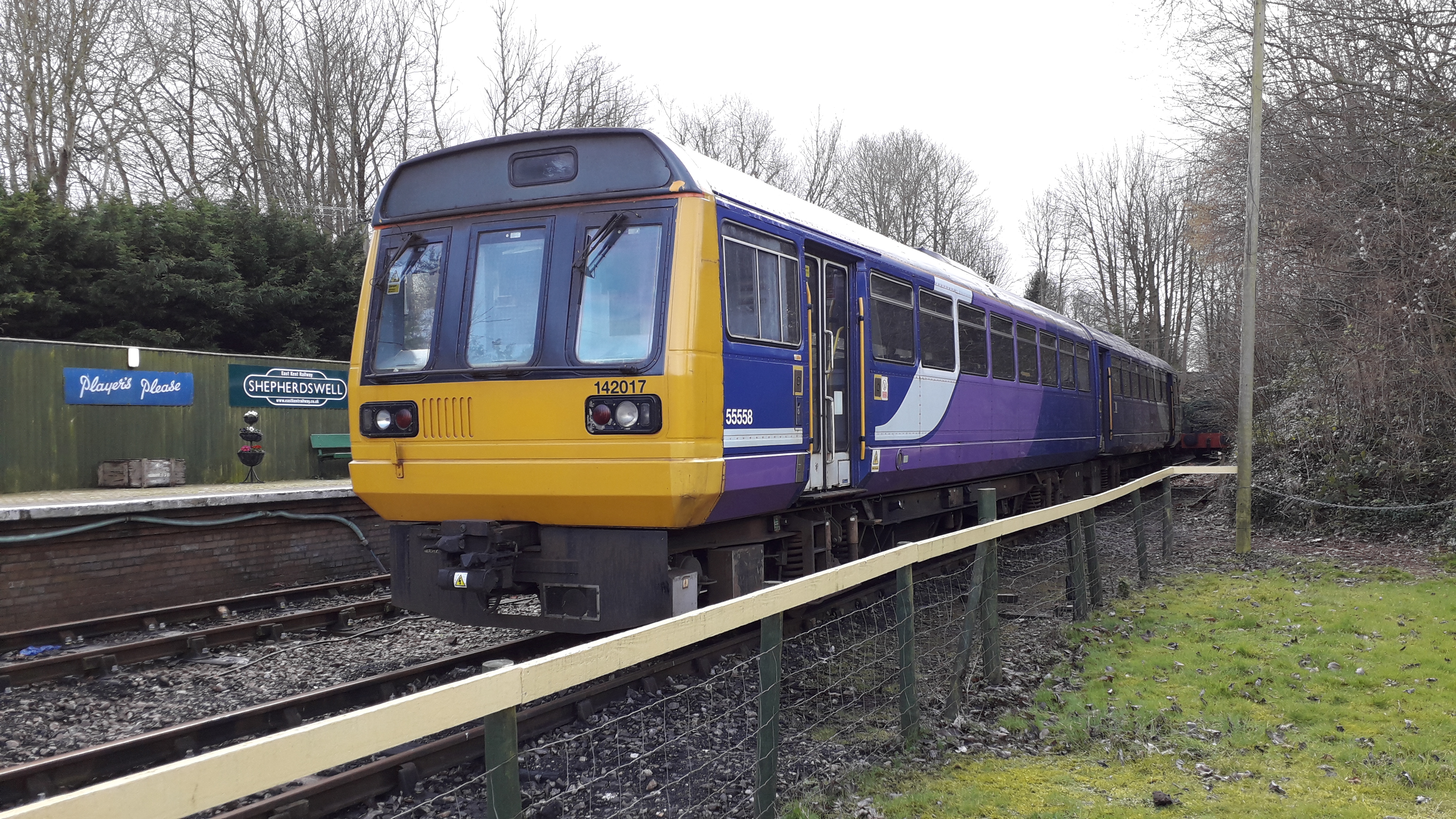
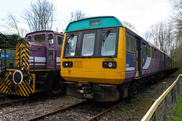
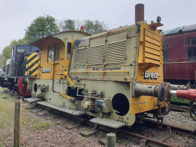
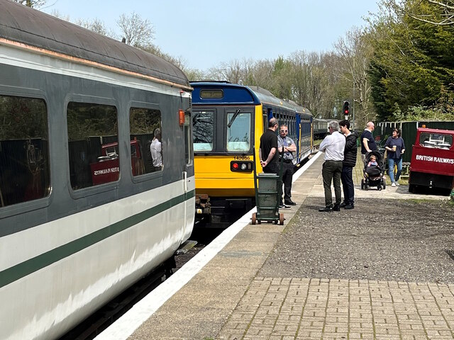
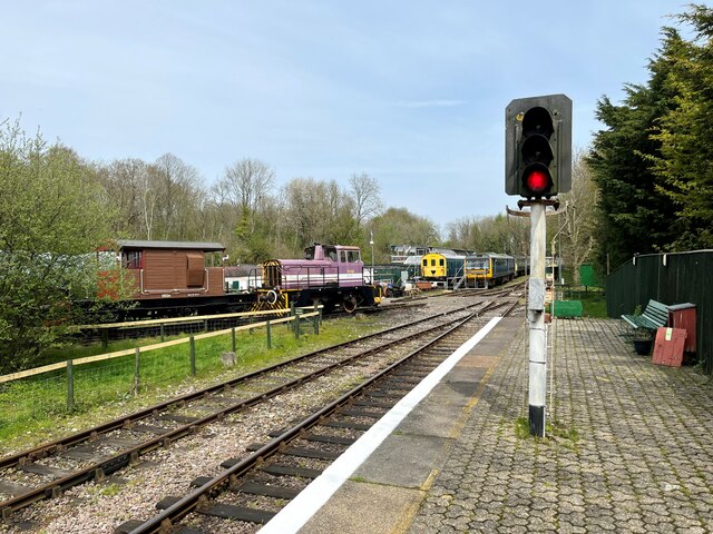
Shepherdswell railway station (EKLR)
Shepherdswell railway station is a station on the East Kent Railway. The southern terminus of the East Kent Light Railway, It opened on 16 October 1916...

Barfrestone
Barfrestone is a village and (as Barfreston) a former civil parish, now in the parish of Eythorne, in the Dover district, in east Kent, England. It is...
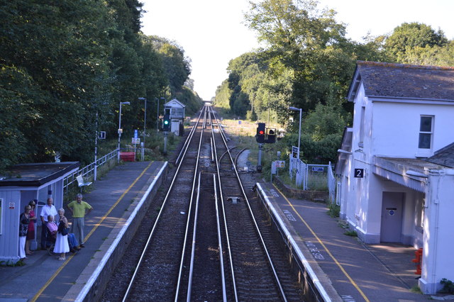
Shepherds Well railway station
Shepherds Well railway station is on the Dover branch of the Chatham Main Line in England, and serves the village of Shepherdswell, Kent. It is 71 miles...

Shepherdswell
Shepherdswell (also Sibertswold) is a village and former civil parish, now in the parish of Shepherdswell with Coldred, in the Dover district of Kent,...
Nearby Amenities
Located within 500m of 51.1972,1.2333036Have you been to Bromley Wood?
Leave your review of Bromley Wood below (or comments, questions and feedback).