Beauchamp Wood
Wood, Forest in Kent Dover
England
Beauchamp Wood

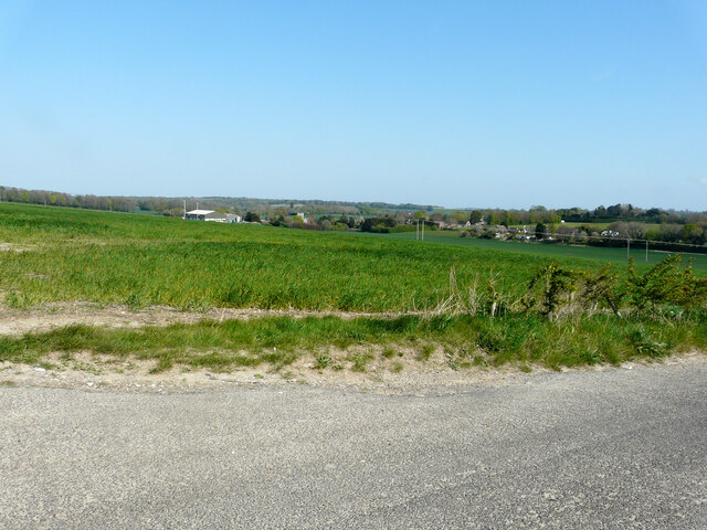
Beauchamp Wood, located in the county of Kent, England, is a beautiful and diverse forest that covers an area of approximately 150 acres. Nestled within the stunning Kent countryside, the wood is known for its impressive range of flora and fauna, making it a popular destination for nature enthusiasts and hikers alike.
The wood is predominantly made up of native broad-leaved trees, including oak, ash, beech, and birch, which create a dense canopy, providing shelter and habitats for a variety of wildlife. The forest floor is carpeted with an array of wildflowers, ferns, and mosses, adding to the wood's natural beauty.
Wandering through Beauchamp Wood, visitors are likely to encounter an abundance of wildlife. The wood is home to a diverse range of species including deer, foxes, badgers, and a wide variety of birds such as woodpeckers, owls, and thrushes. Nature enthusiasts will also be delighted to discover a variety of insects, butterflies, and even rare species of orchids.
For those with an adventurous spirit, there are several walking trails and paths that wind through the wood, allowing visitors to explore its various sections and discover its hidden treasures. The wood is well-maintained, with clear signposting and information boards providing interesting facts about the local flora and fauna.
Beauchamp Wood is not only a haven for wildlife but also offers a peaceful and tranquil atmosphere, providing an escape from the hustle and bustle of everyday life. Whether it's a leisurely stroll, bird-watching, or simply enjoying the beauty of the natural surroundings, Beauchamp Wood is a must-visit destination for nature lovers in Kent.
If you have any feedback on the listing, please let us know in the comments section below.
Beauchamp Wood Images
Images are sourced within 2km of 51.225469/1.2346984 or Grid Reference TR2552. Thanks to Geograph Open Source API. All images are credited.


Beauchamp Wood is located at Grid Ref: TR2552 (Lat: 51.225469, Lng: 1.2346984)
Administrative County: Kent
District: Dover
Police Authority: Kent
What 3 Words
///fetches.scored.pictured. Near Aylesham, Kent
Nearby Locations
Related Wikis
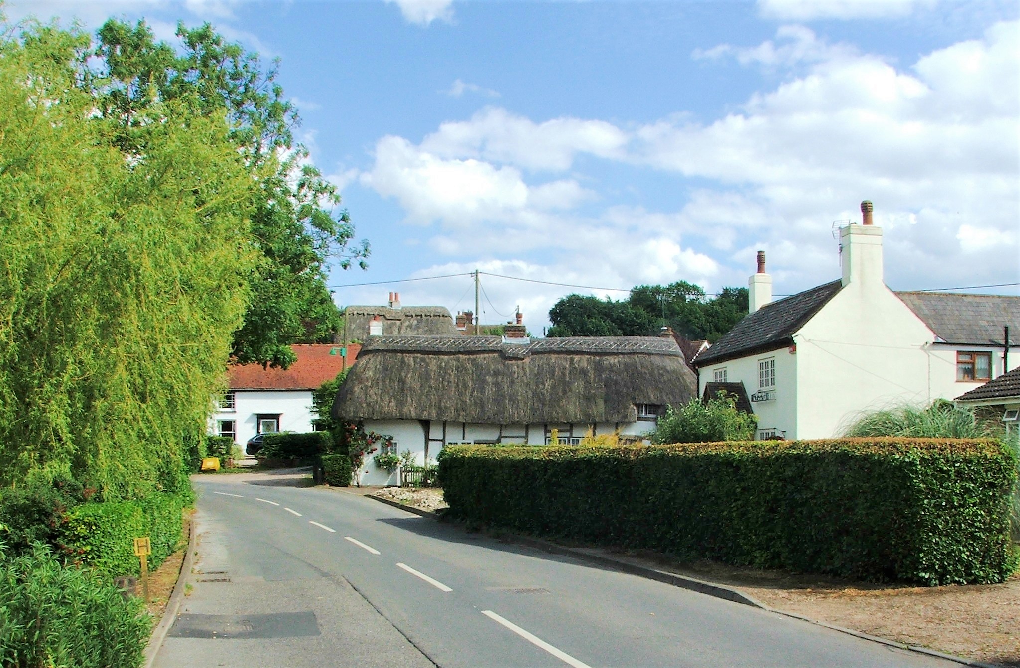
Nonington
Nonington (variously, Nonnington, Nunyngton, Nonnyngton and Nunnington), is a civil parish and village in east Kent, halfway between the historic city...

Chillenden
Chillenden is a village and former civil parish, now in the parish of Goodnestone, in the Dover district, in east Kent, England. It is between Canterbury...
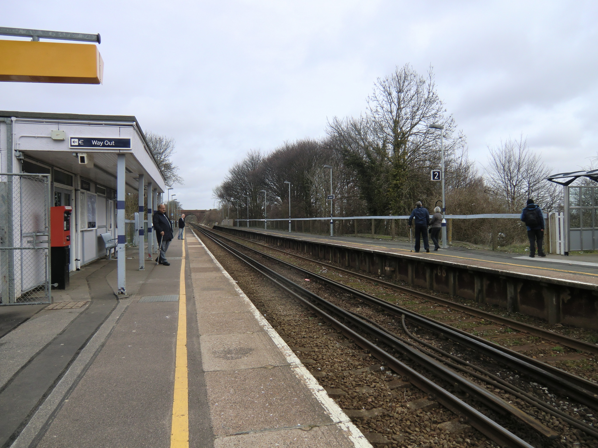
Aylesham railway station
Aylesham railway station is on the Dover branch of the Chatham Main Line in England, and serves the village of Aylesham, Kent. It is 68 miles 66 chains...
Frogham, Kent
Frogham is a hamlet in the Dover District of East Kent, England, between Canterbury and Dover. It is located between the former coal mining village of...
Nearby Amenities
Located within 500m of 51.225469,1.2346984Have you been to Beauchamp Wood?
Leave your review of Beauchamp Wood below (or comments, questions and feedback).