Fir Hills

Wood, Forest in Norfolk Broadland

England

Fir Hills

West on B1354
West on B1354 Credit: David Pashley

The requested URL returned error: 429 Too Many Requests

If you have any feedback on the listing, please let us know in the comments section below.
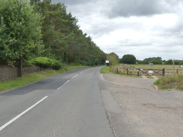
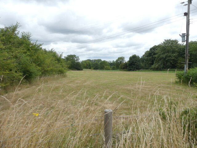
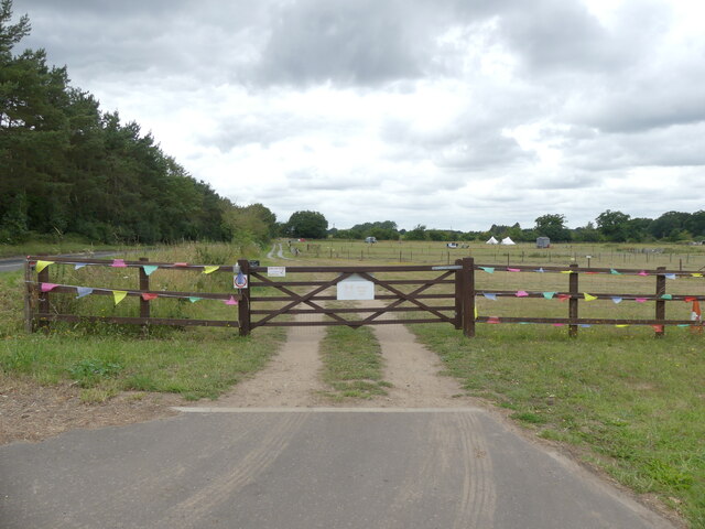
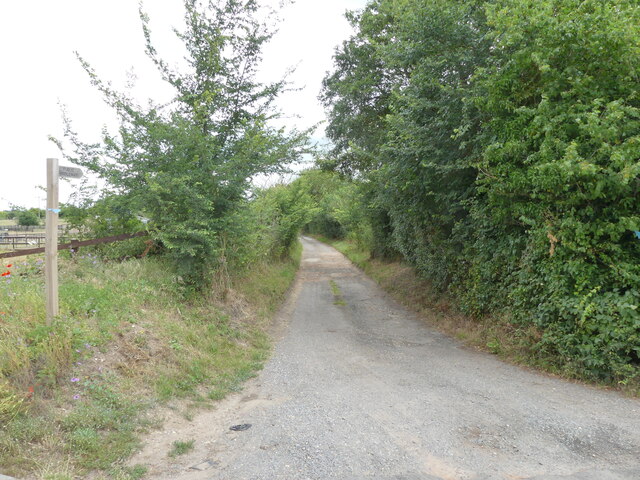
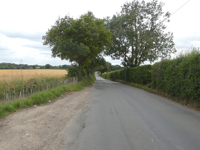
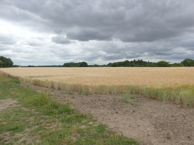
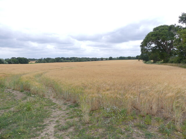
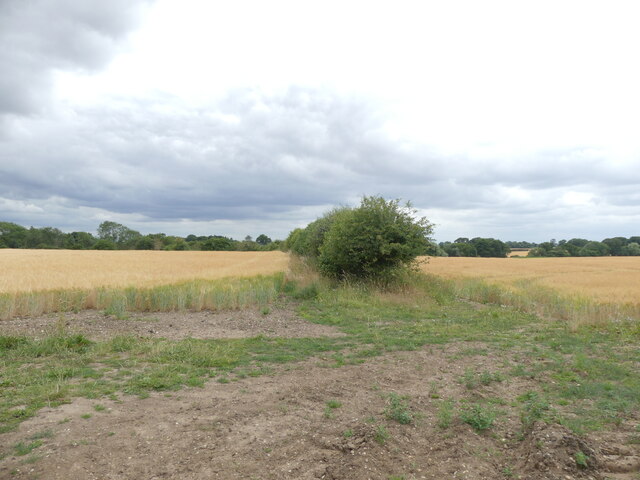
Fir Hills Images

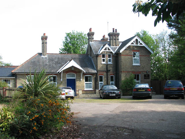
Images are sourced within 2km of 52.738036/1.3445529 or Grid Reference TG2520. Thanks to Geograph Open Source API. All images are credited.

West on B1354
West on B1354
B1354 to Coltishall
B1354 to Coltishall
Cut meadow
Cut meadow
Entrance to Two Jays farm
Public Bridleway and sign
Old Church Road
Old Church Road
Barley crop
Barley crop
Field of Barley
Field of Barley
Hedge dividing two fields of barley
Entrance gates to All Saints' Church
All Saints' Church as seen from entrance gates
Horstead church notice board
Entrance/exit gate from churchyard now locked
Entrance porch to All Saint' Church
Bricked up window in tower, with glass missing
Tower of All Saints' Church Horstead
Easterly view of church with barrier I assume the barrier is there in case anything falls
Easterly view of church with barrier
I assume the barrier is there in case anything falls
Churchyard conservation area
Show me another place!

Fir Hills is located at Grid Ref: TG2520 (Lat: 52.738036, Lng: 1.3445529)

Administrative County: Norfolk

District: Broadland

Police Authority: Norfolk

What 3 Words

///buckling.plank.stud. Near Coltishall, Norfolk

Nearby Locations

Fir Hills

Related Wikis

St Theobald's Church, Great Hautbois

St Theobald's Church is a former church at Great Hautbois, near Coltishall in Norfolk, England. During the medieval period it was a place of pilgrimage...

Horstead Hall

Horstead Hall was a country house in Norfolk that was demolished in the 1950s. The village of Horstead in the county of Norfolk is not short of country...

Horstead with Stanninghall

Horstead with Stanninghall is a civil parish in the English county of Norfolk which is also known as 'The Gateway of The Broads' consisting of the former...

Coltishall railway station

Coltishall railway station serves the village of Coltishall in Norfolk, and is currently operated by the Bure Valley Railway. == Standard gauge operation... ==

Nearby Amenities

Located within 500m of 52.738036,1.3445529
Bench
Lat/Long: 52.7381147/1.3495192
Post Box
Operator: Royal Mail
Operator Wikidata: Q638098
Post Box Mounting: wooden_post
Post Box Type: lamp
Lat/Long: 52.7384263/1.3483768
Great Hautbois
Historic: yes
Place: hamlet
Website: http://www.origins.org.uk/genuki/NFK/places/h/hautbois_great/
Lat/Long: 52.7390265/1.3486254
Board Type: notice
Information: board
Tourism: information
Lat/Long: 52.7384236/1.3484001
Give Way
Direction: forward
Lat/Long: 52.7381315/1.3484399
Give Way
Direction: forward
Lat/Long: 52.7384728/1.3481574
Note: fence continues
Lat/Long: 52.7376416/1.3507326
The data included in this document is from www.openstreetmap.org. The data is made available under ODbL.

Have you been to Fir Hills?

Leave your review of Fir Hills below (or comments, questions and feedback).