Crostwick Common

Wood, Forest in Norfolk Broadland

England

Crostwick Common

OS Benchmark Recorded on Benchmark Database as 'Spixworth, St Peter's Church'.
OS Benchmark Credit: David Bremner

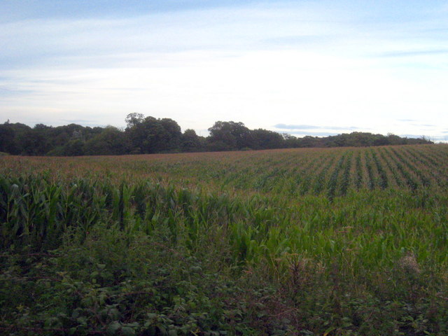
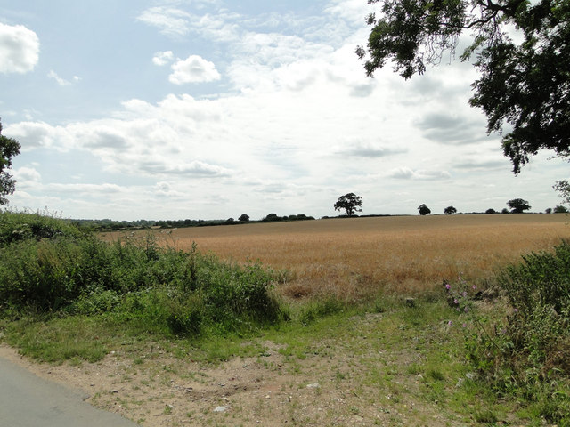
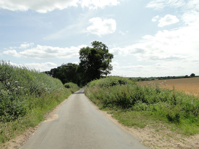
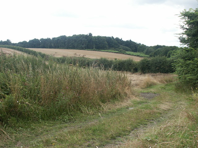
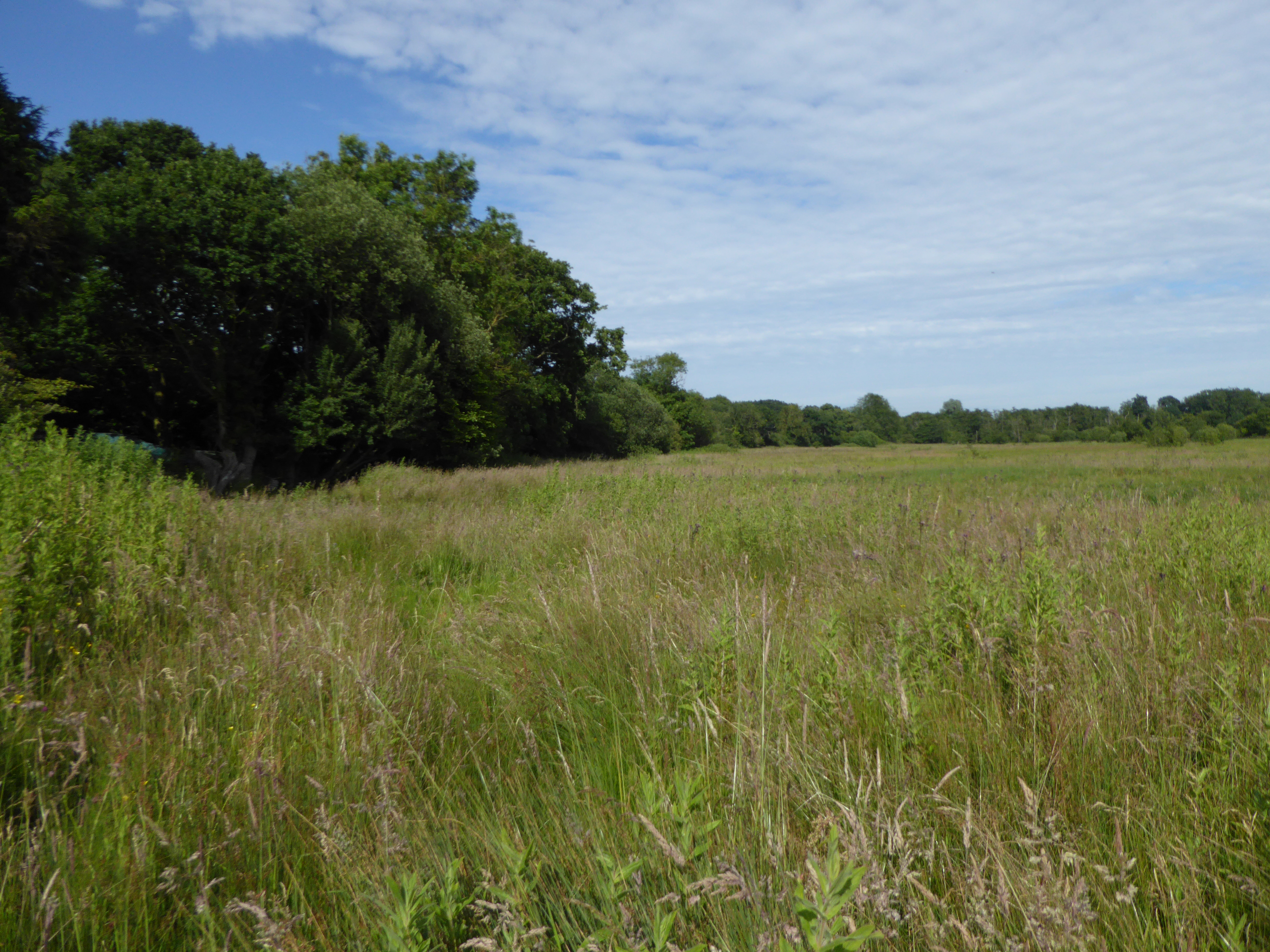
Crostwick Common, located in the county of Norfolk, England, is a scenic and expansive woodland area renowned for its natural beauty and ecological significance. Covering an area of approximately 400 hectares, the common is predominantly composed of ancient woodland, characterized by a diverse range of tree species and rich biodiversity.

The woodlands of Crostwick Common consist of a mix of deciduous and coniferous trees, including oak, beech, birch, pine, and spruce. The variety of tree species creates a vibrant and ever-changing landscape throughout the seasons, with vibrant displays of autumnal colors and lush greenery during the summer months.

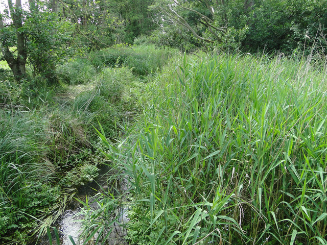
The common is home to a wide array of flora and fauna, making it a haven for nature enthusiasts and wildlife admirers. Visitors can spot a plethora of bird species, including woodpeckers, owls, and various songbirds, as well as mammals such as deer, foxes, and squirrels. The diverse range of plant life includes bluebells, primroses, and ferns, adding to the visual appeal and natural charm of the woodlands.

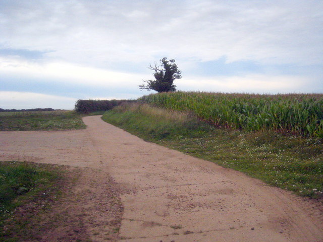
In addition to its natural beauty, Crostwick Common offers recreational opportunities for visitors. The common features a network of walking trails and footpaths, allowing visitors to explore the woodlands and enjoy peaceful walks amidst nature. It serves as a popular destination for hikers, dog walkers, and families seeking a tranquil escape from the hustle and bustle of everyday life.

Overall, Crostwick Common in Norfolk is a captivating woodland area that showcases the beauty of nature, providing a haven for wildlife and offering a serene retreat for those seeking solace in nature's embrace.

If you have any feedback on the listing, please let us know in the comments section below.

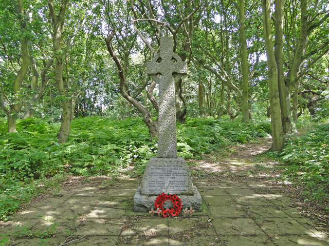
Crostwick Common Images

Images are sourced within 2km of 52.694073/1.3392051 or Grid Reference TG2515. Thanks to Geograph Open Source API. All images are credited.

OS Benchmark Recorded on Benchmark Database as 'Spixworth, St Peter's Church'.
OS Benchmark
Recorded on Benchmark Database as 'Spixworth, St Peter's Church'.
St Peter's, Spixworth An attractive church which we were delighted to find open.
St Peter's, Spixworth
An attractive church which we were delighted to find open.
Flowers, St Peter's Church Attractive floral display at St Peter's Church, Spixworth.
Flowers, St Peter's Church
Attractive floral display at St Peter's Church, Spixworth.
The White Horse Crostwick Public House on the North Walsham Road
The White Horse Crostwick
Public House on the North Walsham Road
The Longe Arms Spixworth Located on the junction of Buxton Road and Crostwick Lane. It nearly closed at the end of 2010 when the lease was due to run out. Two villagers decided to take it over rather than see it close.
The Longe Arms Spixworth
Located on the junction of Buxton Road and Crostwick Lane. It nearly closed at the end of 2010 when the lease was due to run out. Two villagers decided to take it over rather than see it close.
Field of maize at Diary Farm
Concrete farm track at Diary Farm
Layby on the B1150 near Hills and Holes Farm
This is supposed to be a drain. Totally choked! It's no wonder all the roads locally have signs 'Liable to Flooding'.
This is supposed to be a drain. Totally choked!
It's no wonder all the roads locally have signs 'Liable to Flooding'.
Hump-back bridge near Old Hall Farm, Crostwick
Barley field on gently sloping land at Crostwick
Primrose Lane near Primrose Hole, Crostwick
Granny Bard's Lane, Crostwick
Crostwick War Memorial The Memorial stands beside the North Walsham road and is almost hidden from view.
It bears the names of six men lost in WW1 and of two lost in WW2.
Crostwick War Memorial
The Memorial stands beside the North Walsham road and is almost hidden from view. It bears the names of six men lost in WW1 and of two lost in WW2.
Church Wood, Rackheath Seen from the end of the lane by the church.
Church Wood, Rackheath
Seen from the end of the lane by the church.
All Saints Church, Rackheath Now redundant. It is the resting place of members of the Stracey family, of nearby Rackheath Hall, and contains a memorial to Sir John Pettus (1550-1614) MP and Mayor of Norwich (1608).
All Saints Church, Rackheath
Now redundant. It is the resting place of members of the Stracey family, of nearby Rackheath Hall, and contains a memorial to Sir John Pettus (1550-1614) MP and Mayor of Norwich (1608).
Footpath and fields, Rackheath A footpath to the church running through a harvested rape seed field.
Footpath and fields, Rackheath
A footpath to the church running through a harvested rape seed field.
All Saints, Rackheath, Norfolk
Show me another place!

Crostwick Common is located at Grid Ref: TG2515 (Lat: 52.694073, Lng: 1.3392051)

Administrative County: Norfolk

District: Broadland

Police Authority: Norfolk

What 3 Words

///chickens.taps.glossed. Near Spixworth, Norfolk

Nearby Locations

Crostwick Common

Related Wikis

Crostwick

Crostwick is a village in the English county of Norfolk. The village is part of the civil parish of Horstead with Stanninghall. Crostwick is located 2...

Crostwick Marsh

Crostwick Marsh is an 11.6-hectare (29-acre) biological Site of Special Scientific Interest in Crostwick, north of Norwich in Norfolk. It is part of the...

Spixworth

Spixworth is a village and civil parish in the English county of Norfolk. The village lies close to the B1150 road and is 5 miles (8.0 km) north of Norwich...

Hillside Animal Sanctuary

Hillside Animal Sanctuary, based in Frettenham, Norwich, and with a site at West Runton, North Norfolk, is the United Kingdom's largest home for different...

Beeston St Andrew

Beeston St Andrew is a civil parish north of Norwich in the Broadland district of Norfolk, England. It contains Beeston Park and according to the 2001...

Frettenham

Frettenham is a village and civil parish in the English county of Norfolk. It is located 3.2 miles (5.1 km) west of Wroxham, and 5.7 miles (9.2 km) north...

Frettenham Windmill

Frettenham Mill is a Grade II listed tower mill at Frettenham, Norfolk, England which has been converted to residential accommodation. == History == Frettenham...

Norwich Northern Distributor Road

The Norwich Northern Distributor Road, now officially named the Broadland Northway (but also known as the NDR) is a 12.4 mi (20.0 km) dual-carriageway...

Nearby Amenities

Located within 500m of 52.694073,1.3392051
Crostwick
Place: village
Source: NPE
Lat/Long: 52.6953661/1.3409531
Post Box
Post Box Mounting: telegraph_pole
Post Box Type: lamp
Lat/Long: 52.6979331/1.3407608
Telephone
Booth: K6
Covered: booth
Lat/Long: 52.6979136/1.3408198
Historic: memorial
Memorial: war_memorial
Lat/Long: 52.6946545/1.3380128
Fixme: incomplete
Lat/Long: 52.6932126/1.3383105
Power: pole
Lat/Long: 52.69035/1.3372565
Entrance: main
Lat/Long: 52.6934988/1.3396518
Location Transition: yes
Power: pole
Lat/Long: 52.6921817/1.3373494
Power: pole
Lat/Long: 52.6934139/1.3318911
Power: pole
Lat/Long: 52.6928205/1.3332778
Power: pole
Lat/Long: 52.6922337/1.3346431
Power: pole
Lat/Long: 52.6916419/1.3359922
Material: wood
Power: pole
Lat/Long: 52.6913526/1.3366574
Power: pole
Lat/Long: 52.6910859/1.3353914
Material: wood
Power: pole
Lat/Long: 52.6917509/1.3365394
Charging Station
Fee: yes
Motorcar: yes
Opening Hours: 24/7
Operator: BP Pulse
Ref: 24710
Lat/Long: 52.6940895/1.3373017
Waste Basket
Waste: dog_excrement
Lat/Long: 52.6916149/1.3366057
The data included in this document is from www.openstreetmap.org. The data is made available under ODbL.

Have you been to Crostwick Common?

Leave your review of Crostwick Common below (or comments, questions and feedback).