Foxburrow Plantation

Wood, Forest in Norfolk Broadland

England

Foxburrow Plantation

St Mary & St Margaret, Sprowston, Norwich
St Mary & St Margaret, Sprowston, Norwich Credit: John Salmon

Foxburrow Plantation is an expansive woodland area located in Norfolk, England. Covering an area of approximately 500 acres, it is an important natural reserve and a popular destination for nature enthusiasts and hikers alike. The plantation is characterized by its dense forest, comprising a variety of tree species, including oak, beech, and birch.

The woodland provides a habitat for a diverse range of wildlife, making it a haven for birdwatchers and animal lovers. Visitors can spot various bird species, such as woodpeckers, owls, and finches, as well as mammals like deer, foxes, and rabbits. The plantation's tranquil atmosphere and scenic beauty also make it an ideal spot for nature photography.

Foxburrow Plantation offers several walking trails, allowing visitors to explore its vast expanse and enjoy the beauty of the surrounding landscape. The paths are well-maintained and offer different levels of difficulty, catering to both casual strollers and experienced hikers. Along the routes, visitors can discover hidden ponds, ancient trees, and picturesque clearings.

The plantation is open to the public year-round, with designated picnic areas and benches available for visitors to relax and enjoy the peaceful surroundings. Additionally, educational programs and guided tours are organized periodically to promote environmental awareness and provide further insights into the local flora and fauna.

Overall, Foxburrow Plantation in Norfolk is a remarkable natural resource, offering a serene retreat for individuals seeking solace in nature. Its diverse ecosystem, well-maintained trails, and abundant wildlife make it a cherished destination for those who appreciate the beauty of the woodlands.

If you have any feedback on the listing, please let us know in the comments section below.

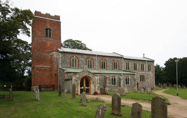
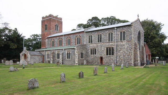
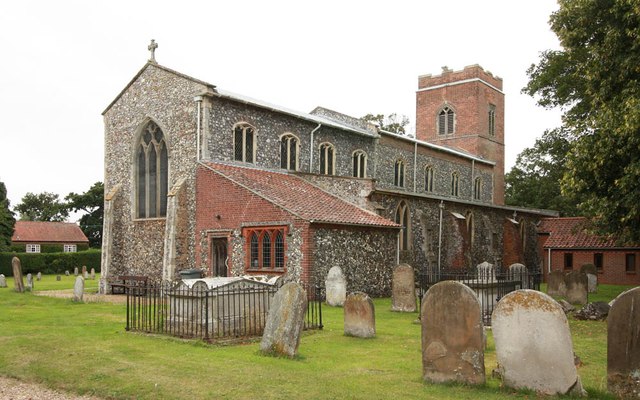
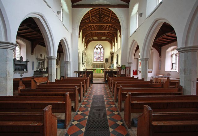
Foxburrow Plantation Images

Images are sourced within 2km of 52.670181/1.3358577 or Grid Reference TG2513. Thanks to Geograph Open Source API. All images are credited.

St Mary & St Margaret, Sprowston, Norwich
St Mary & St Margaret, Sprowston, Norwich - East end
St Mary & St Margaret, Sprowston, Norwich - Interior
St Mary & St Margaret, Sprowston, Norwich - Wall monuments
St Mary & St Margaret, Sprowston, Norwich - Chancel
St Mary & St Margaret, Sprowston, Norwich - Sanctuary
St Mary & St Margaret, Sprowston, Norwich - West end
St Mary & St Margaret, Sprowston, Norwich - Monument
St Mary & St Margaret, Sprowston, Norwich - Monument detail
St Mary & St Margaret, Sprowston, Norwich - Ledger slab
St Mary & St Margaret, Sprowston, Norwich - Window
St Mary & St Margaret, Sprowston, Norwich - Font
St Mary & St Margaret, Sprowston, Norwich - Royal Arms
St Mary & St Margaret, Sprowston, Norwich - War Memorial
St Mary & St Margaret, Sprowston, Norwich - War Memorial WWII
Show me another place!

Foxburrow Plantation is located at Grid Ref: TG2513 (Lat: 52.670181, Lng: 1.3358577)

Administrative County: Norfolk

District: Broadland

Police Authority: Norfolk

What 3 Words

///prettiest.breathed.pampering. Near Spixworth, Norfolk

Related Wikis

Beeston St Andrew

Beeston St Andrew is a civil parish north of Norwich in the Broadland district of Norfolk, England. It contains Beeston Park and according to the 2001...

Norwich Northern Distributor Road

The Norwich Northern Distributor Road, now officially named the Broadland Northway (but also known as the NDR) is a 12.4 mi (20.0 km) dual-carriageway...
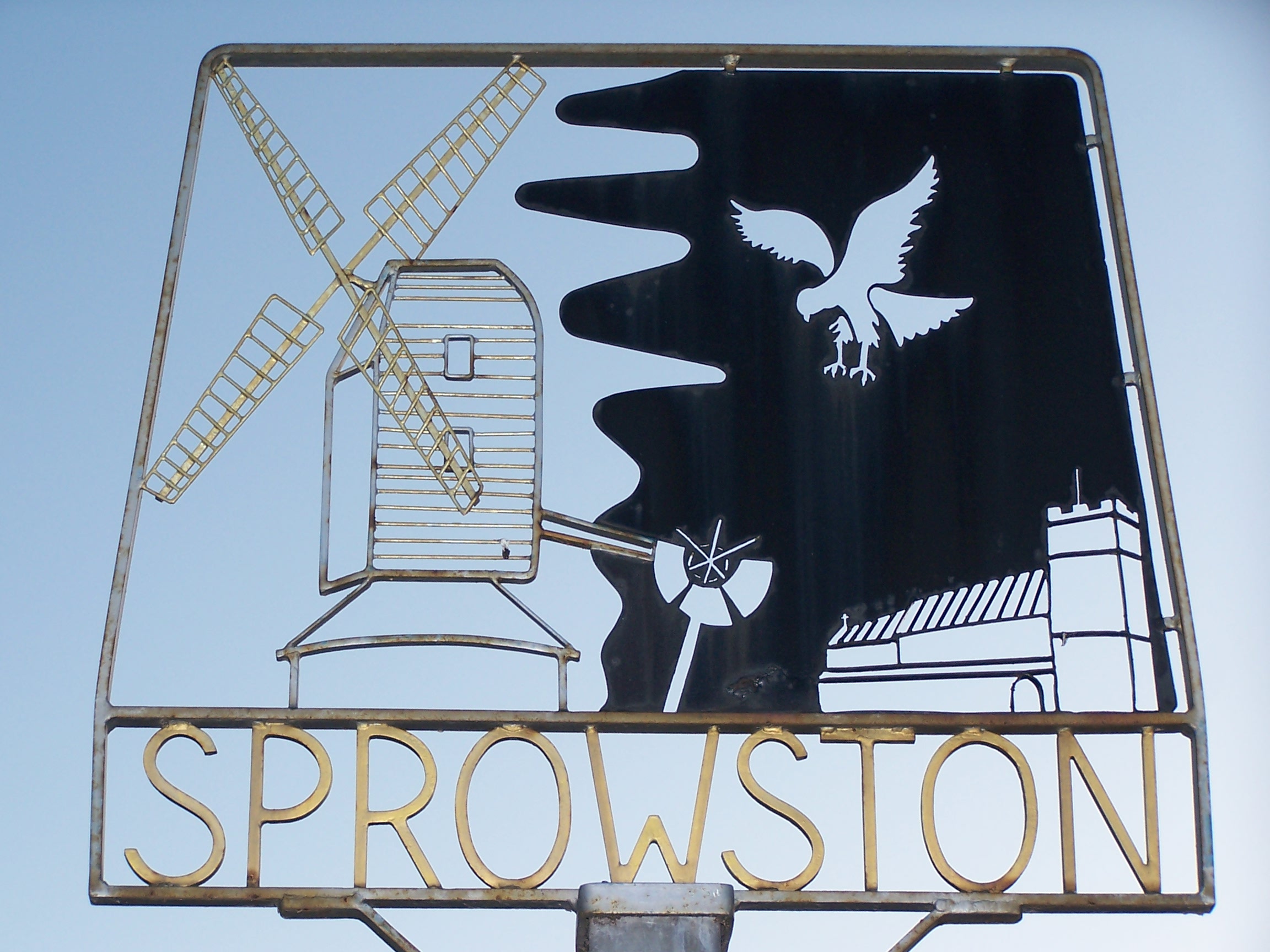
Sprowston

Sprowston ( or ) is a town and civil parish in the Broadland district of Norfolk, England. It is bounded by Heartsease to the east, Mousehold Heath and...

Sprowston Community Academy

Sprowston Community Academy is a coeducational secondary school located in Sprowston, Norwich, Norfolk, England. == Description == Ofsted visiting the...

Spixworth

Spixworth is a village and civil parish in the English county of Norfolk. The village lies close to the B1150 road and is 5 miles (8.0 km) north of Norwich...
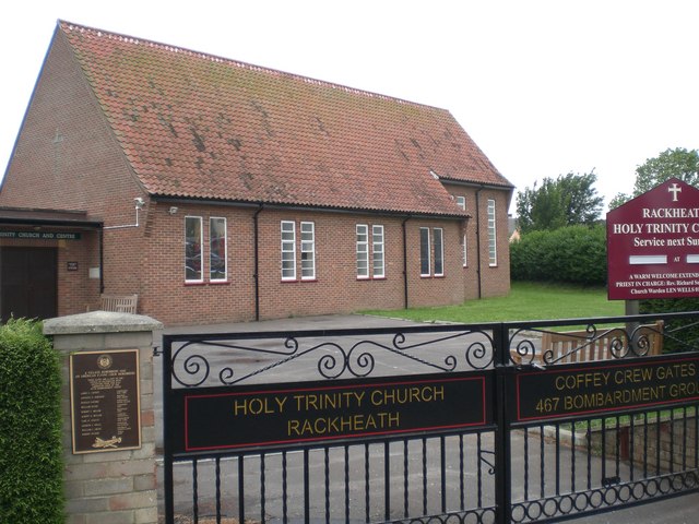
Rackheath

Rackheath is a village and civil parish in the English county of Norfolk, and is roughly 6 miles (9.7 km) north-east of Norwich city centre. It covers...

Old Catton

Old Catton is a suburban village and civil parish in the English county of Norfolk which lies 2 miles (3.2 km) to the north-east of central Norwich. The...

Open Academy

Open Academy (formerly Heartsease High School) is a secondary school with academy status located in the Heartsease area of Norwich, in the English county...

Nearby Amenities

Located within 500m of 52.670181,1.3358577
Bus Stop
Sprowston Manor, adj
Naptan AtcoCode: 2900R0119
Naptan Bearing: SW
Naptan BusStopType: CUS
Naptan CommonName: Sprowston Manor
Naptan Indicator: adj
Naptan Landmark: Sprowston Manor Entrance Drive
Naptan Locality: Sprowston
Naptan NaptanCode: nfodpgjd
Naptan PlusbusZoneRef: NRCH
Naptan Street: Wroxham Road
Naptan Verified: no
Public Transport: platform
Source: naptan_import
Lat/Long: 52.6666383/1.3390567
Bus Stop
Sprowston Manor, opp
Naptan AtcoCode: 2900R0120
Naptan Bearing: NE
Naptan BusStopType: CUS
Naptan CommonName: Sprowston Manor
Naptan Indicator: opp
Naptan Landmark: Sprowston Manor Entrance Drive
Naptan Locality: Sprowston
Naptan NaptanCode: nfodpgjm
Naptan PlusbusZoneRef: NRCH
Naptan ShortCommonName: Wroxham Road
Naptan Street: Wroxham Road
Naptan Verified: no
Public Transport: platform
Source: naptan_import
Lat/Long: 52.6666919/1.3387501
Traffic Calming: hump
Lat/Long: 52.6662724/1.3329784
Crossing
Crossing: uncontrolled
Traffic Calming: table
Lat/Long: 52.6658617/1.334083
Barrier: bollard
Bicycle: yes
Foot: yes
Lat/Long: 52.6658334/1.3341344
Barrier: bollard
Bicycle: yes
Foot: yes
Lat/Long: 52.6658885/1.3340343
Crossing
Crossing: uncontrolled
Traffic Calming: table
Lat/Long: 52.6659529/1.3339172
Barrier: bollard
Bicycle: yes
Foot: yes
Lat/Long: 52.6659343/1.333951
Barrier: bollard
Bicycle: yes
Foot: yes
Lat/Long: 52.6659726/1.3338816
Crossing
Crossing: uncontrolled
Traffic Calming: table
Lat/Long: 52.6660436/1.3337524
Barrier: bollard
Bicycle: yes
Foot: yes
Lat/Long: 52.6660245/1.3337871
Barrier: bollard
Bicycle: yes
Foot: yes
Lat/Long: 52.6660611/1.3337207
Camera Mount: pole
Camera Type: dome
Man Made: surveillance
Surveillance: public
Surveillance Type: camera
Surveillance Zone: parking
Lat/Long: 52.665993/1.3338763
Grit Bin
Lat/Long: 52.6662903/1.3335752
Crossing
Crossing: uncontrolled
Crossing Island: no
Tactile Paving: yes
Lat/Long: 52.6661352/1.3335861
Barrier: bollard
Bicycle: yes
Foot: yes
Lat/Long: 52.6661153/1.3336222
Bus Stop
Park & Ride
Lat/Long: 52.6661247/1.3335011
Traffic Calming: hump
Lat/Long: 52.6660707/1.3346356
Traffic Calming: hump
Lat/Long: 52.6657943/1.3354835
Grit Bin
Lat/Long: 52.6657502/1.3353338
Traffic Calming: bump
Lat/Long: 52.6662616/1.3391633
Give Way
Lat/Long: 52.6664896/1.3387524
Give Way
Lat/Long: 52.6662436/1.3331243
Give Way
Lat/Long: 52.6662465/1.3328287
Give Way
Lat/Long: 52.6662487/1.3325296
Give Way
Lat/Long: 52.6663378/1.3338215
Give Way
Lat/Long: 52.6661062/1.3344457
Give Way
Lat/Long: 52.6661725/1.3342436
Give Way
Lat/Long: 52.6662402/1.3340398
Give Way
Lat/Long: 52.6658661/1.3351794
Give Way
Lat/Long: 52.6659306/1.3349832
Give Way
Lat/Long: 52.6659955/1.3347826
Power: pole
Lat/Long: 52.6666299/1.334466
Power: pole
Lat/Long: 52.667261/1.3354048
Power: pole
Lat/Long: 52.667884/1.3362899
Power: pole
Lat/Long: 52.6685037/1.3371885
Power: pole
Lat/Long: 52.6691657/1.3383928
Power: pole
Lat/Long: 52.6698473/1.3396051
Power: pole
Lat/Long: 52.6705206/1.3408175
The data included in this document is from www.openstreetmap.org. The data is made available under ODbL.

Have you been to Foxburrow Plantation?

Leave your review of Foxburrow Plantation below (or comments, questions and feedback).