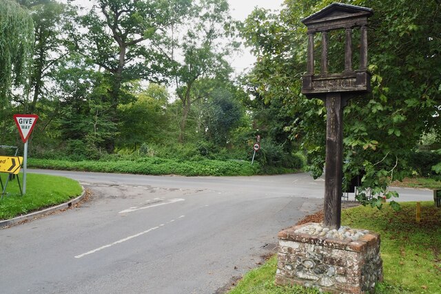
Caistor Wood
Wood, Forest in Norfolk South Norfolk
England
Caistor Wood
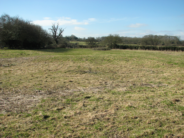
Caistor Wood is a small woodland area located in the county of Norfolk, England. Situated near the village of Caistor St. Edmund, the wood is a popular destination for nature enthusiasts and walkers alike.
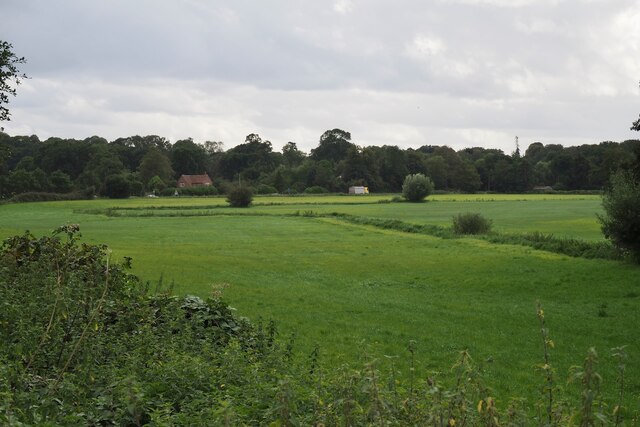
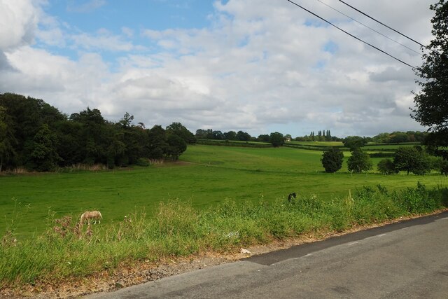
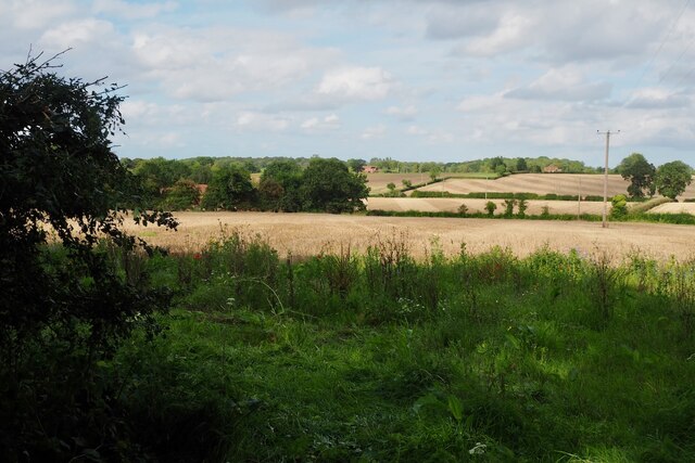
Covering an area of approximately 50 acres, Caistor Wood is mainly composed of deciduous trees, such as oak, ash, and birch, creating a diverse and vibrant environment. The woodland floor is covered in a thick carpet of ferns, bluebells, and other wildflowers, adding to its natural beauty.
The wood is home to a variety of wildlife, including birds such as woodpeckers, thrushes, and owls. Mammals such as deer, foxes, and squirrels can also be spotted here, making it an ideal location for wildlife observation and photography.
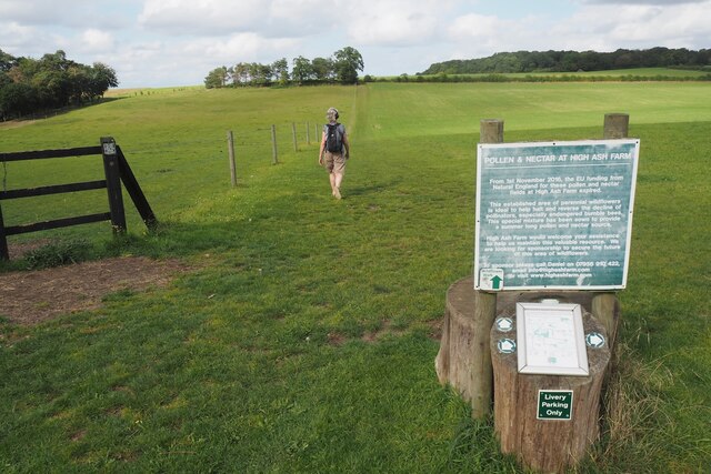
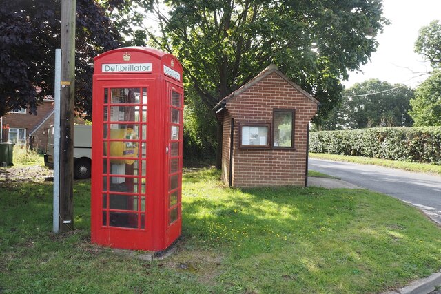
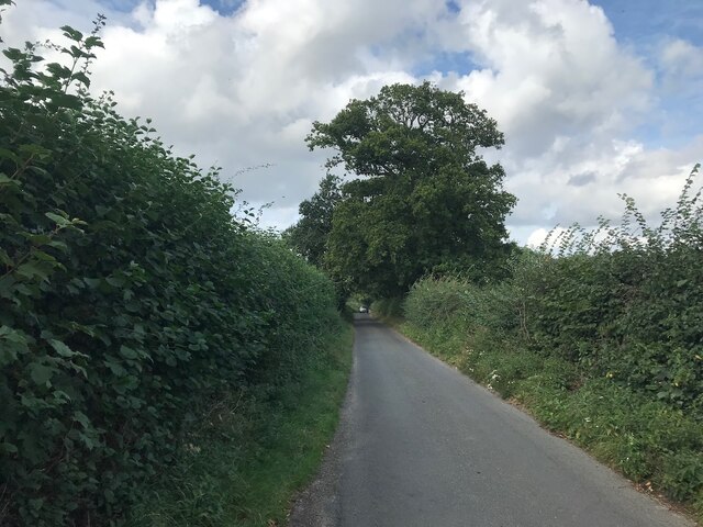
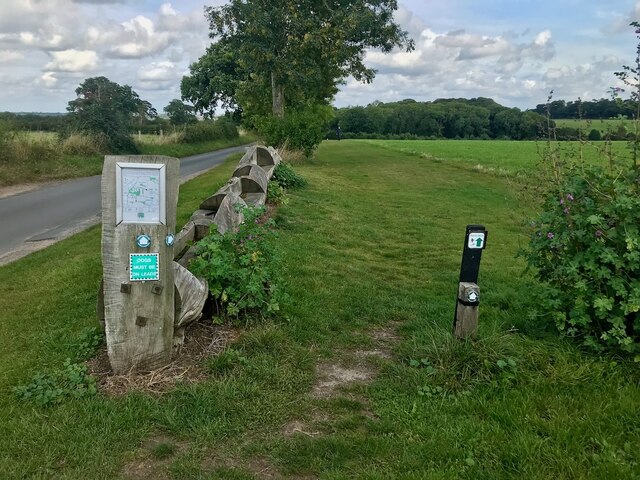
Caistor Wood provides a tranquil and peaceful atmosphere, making it a perfect place for a leisurely stroll or a family picnic. Several well-maintained footpaths traverse the woodland, allowing visitors to explore its various areas and discover its hidden gems.
Additionally, the wood is of historical significance as it is believed to have been part of the ancient Venta Icenorum, a Roman town that was once an important administrative and cultural center in the region. Ruins and remains from this period can still be found within the woodland, adding an extra layer of interest for history enthusiasts.
Overall, Caistor Wood is a charming and picturesque woodland area that offers a wonderful escape into nature, combining natural beauty with historical significance.
If you have any feedback on the listing, please let us know in the comments section below.
Caistor Wood Images
Images are sourced within 2km of 52.585501/1.3225963 or Grid Reference TG2503. Thanks to Geograph Open Source API. All images are credited.


Caistor Wood is located at Grid Ref: TG2503 (Lat: 52.585501, Lng: 1.3225963)
Administrative County: Norfolk
District: South Norfolk
Police Authority: Norfolk
What 3 Words
///earth.dogs.topic. Near Poringland, Norfolk
Nearby Locations
Related Wikis

Arminghall
Arminghall is a village and former civil parish, now in the parish of Caistor St Edmund and Bixley, in the South Norfolk district, in the county of Norfolk...

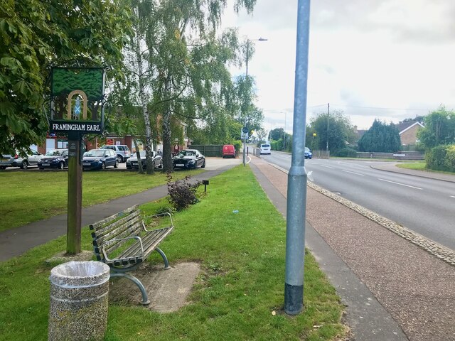
Framingham Earl High School
Framingham Earl High School is a secondary school located in Framingham Earl in the English county of Norfolk to the south of Norwich. The school enrolls...
Bixley medieval settlement
Bixley medieval settlement is a deserted medieval village in Norfolk, England, about 2 miles (3.2 km) south-east of Norwich. It is a Scheduled Monument...
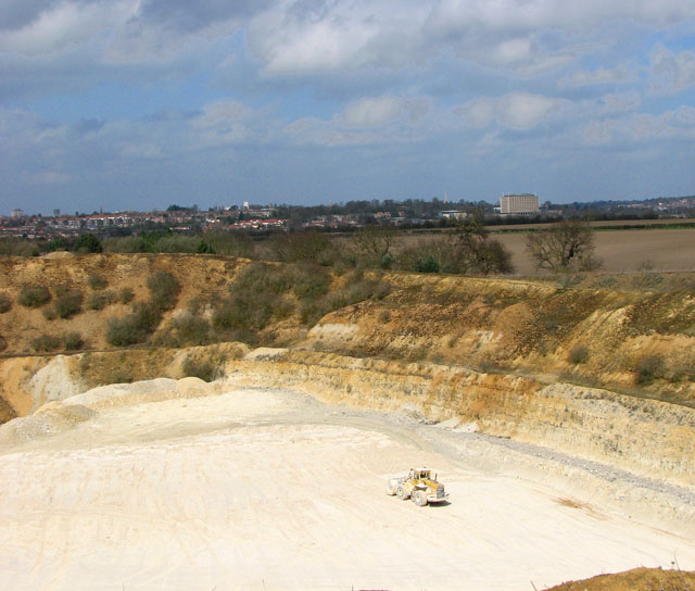
Caistor St Edmund Chalk Pit
Caistor St Edmund Chalk Pit is a 23.6-hectare (58-acre) geological Site of Special Scientific Interest south of Norwich in Norfolk. It is a Geological...

Caistor St Edmund
Caistor St Edmund is a village and former civil parish on the River Tas, now in the parish of Caistor St Edmund and Bixley, in the South Norfolk district...
Bixley
Bixley is a former civil parish now in the parish of Caistor St Edmund and Bixley, in the South Norfolk district of Norfolk, England. According to the...

Venta Icenorum
Venta Icenorum (Classical Latin: [ˈwɛnta ɪkeːˈnoːrũː], literally "marketplace of the Iceni") was the civitas or capital of the Iceni tribe, located at...

Framingham Pigot
Framingham Pigot is a village and civil parish in the English county of Norfolk. The village is located 6.4 miles (10.3 km) north-west of Loddon and 3...
Nearby Amenities
Located within 500m of 52.585501,1.3225963Have you been to Caistor Wood?
Leave your review of Caistor Wood below (or comments, questions and feedback).