New Grove

Wood, Forest in Norfolk South Norfolk

England

New Grove

Starston: Mull's Loke
Starston: Mull's Loke Credit: Michael Garlick

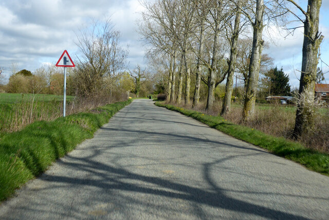
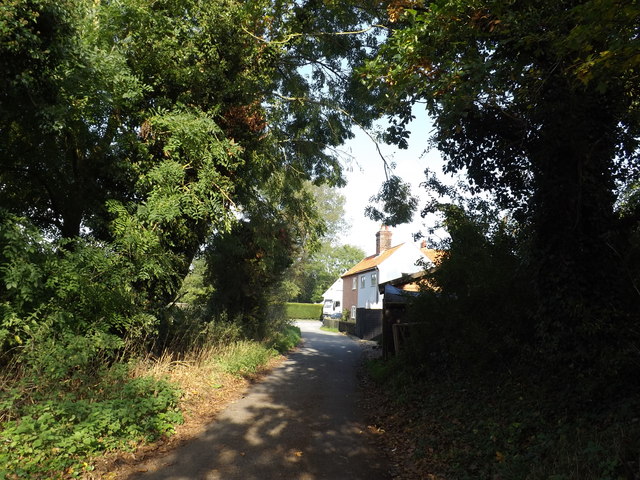
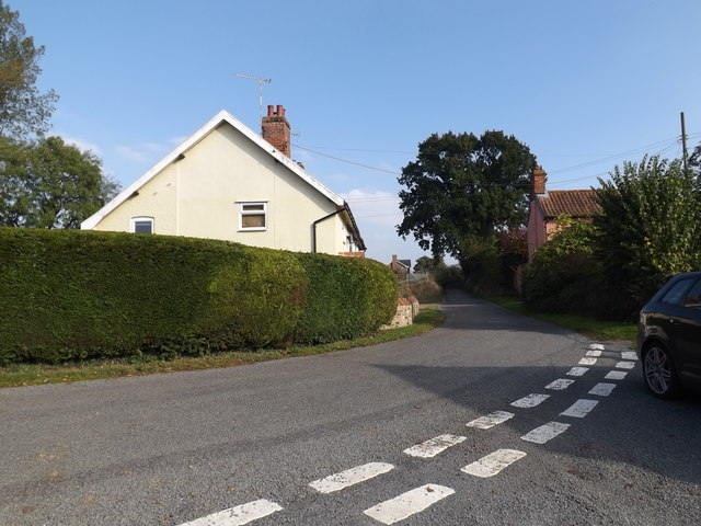
New Grove, Norfolk, also known as Wood or Forest, is a charming village located in the county of Norfolk, England. Situated in the heart of the Norfolk Broads, this picturesque village is known for its lush greenery and natural beauty.

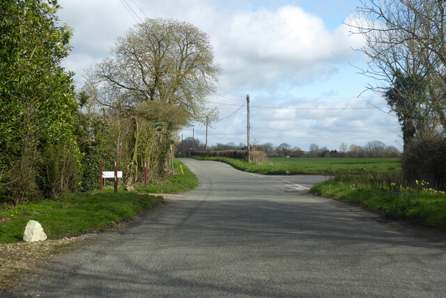
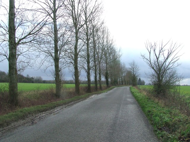
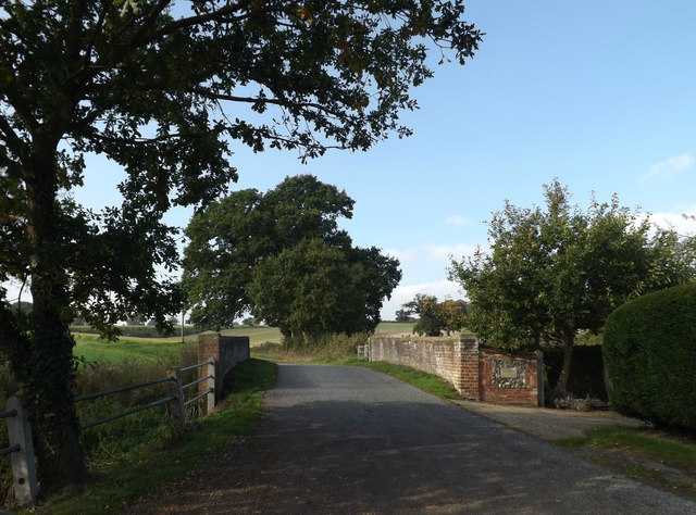
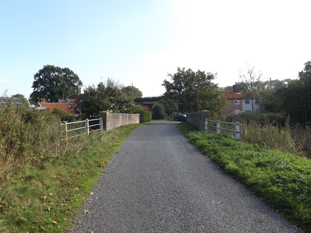
Surrounded by dense woodlands and rolling hills, New Grove offers a tranquil and serene environment for its residents and visitors. The village is home to a close-knit community that takes pride in preserving its natural surroundings. The dense forest provides a sanctuary for various wildlife species, making it a popular spot for nature enthusiasts and birdwatchers.

The village itself is characterized by its traditional thatched-roof cottages and quaint country lanes. The local architecture reflects the rich history of the area, with some buildings dating back several centuries. The village church, St. Mary's, is a notable landmark that stands as a testament to the village's heritage.

New Grove offers a range of outdoor activities for visitors to enjoy. The surrounding woodlands provide ample opportunities for hiking, cycling, and horseback riding. The nearby river offers excellent fishing and boating opportunities.

In terms of amenities, the village boasts a small but well-stocked local shop, a cozy pub, and a village hall that hosts various community events throughout the year. For more extensive shopping and entertainment options, the larger towns of Norwich and Great Yarmouth are a short drive away.

Overall, New Grove, Norfolk, is a hidden gem for those seeking a peaceful and idyllic countryside retreat. Its natural beauty, rich history, and strong sense of community make it a truly special place to visit or call home.

If you have any feedback on the listing, please let us know in the comments section below.
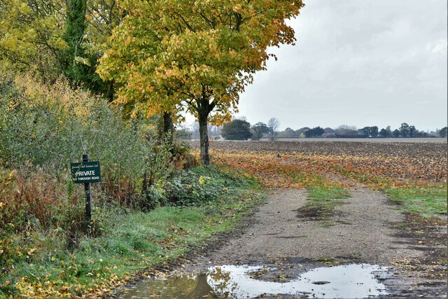
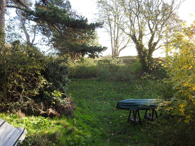
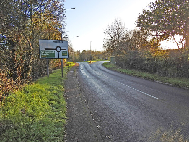
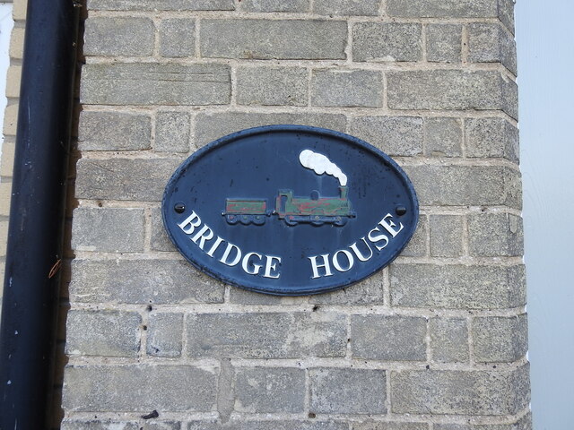
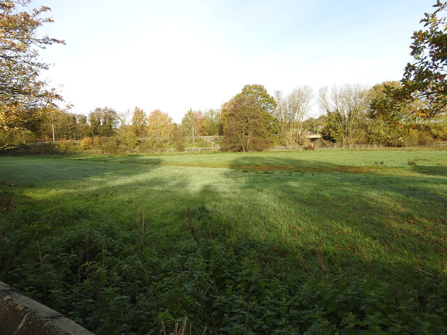
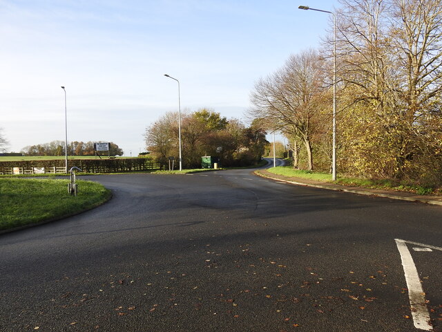
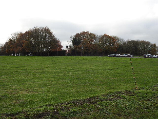
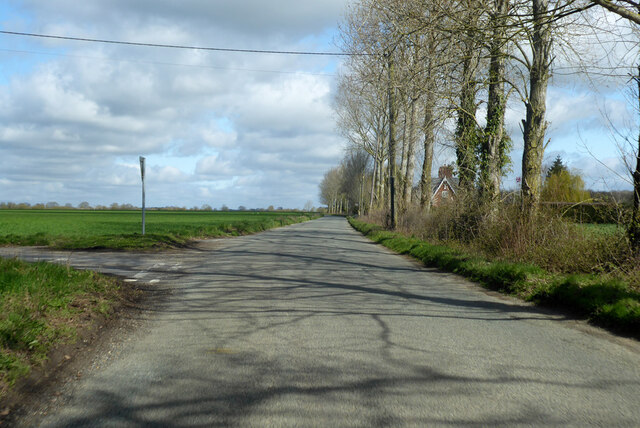
New Grove Images

Images are sourced within 2km of 52.425976/1.3053396 or Grid Reference TM2486. Thanks to Geograph Open Source API. All images are credited.

Starston: Mull's Loke
The embankment still remains in the garden This piece of the railway embankment is still extant and is indicative of the precise location of the railway bridge (No. 1181) which carried the line over Redenhall Road 670 yards (614 Metres) distant from the short lived Redenhall Station. see <a href="https://www.geograph.org.uk/photo/7349611">TM2684 : The site of the former Redenhall railway station</a>
The embankment still remains in the garden
This piece of the railway embankment is still extant and is indicative of the precise location of the railway bridge (No. 1181) which carried the line over Redenhall Road 670 yards (614 Metres) distant from the short lived Redenhall Station. see TM2684 : The site of the former Redenhall railway station
Location of the Redenhall Road girder bridge The bridge carried the WVR line diagonally over the Redenhall Road on an embankment which is still extant in the garden of Bridge House. The bridge which was designated No. 1181 was just over 7 miles distant from Tivetshall and only 670 yards distant from the short-lived Redenhall station which stood at the bottom of Church Lane. 
The bridge crossed the road between the green Telecom box and the second lamp-post. The embankment of the left side of the road was removed when the bridge was dismantled.
Location of the Redenhall Road girder bridge
The bridge carried the WVR line diagonally over the Redenhall Road on an embankment which is still extant in the garden of Bridge House. The bridge which was designated No. 1181 was just over 7 miles distant from Tivetshall and only 670 yards distant from the short-lived Redenhall station which stood at the bottom of Church Lane. The bridge crossed the road between the green Telecom box and the second lamp-post. The embankment of the left side of the road was removed when the bridge was dismantled.
The name-plate on Bridge House, Redenhall The railway embankment in the garden of Bridge House is still extant. <a href="https://www.geograph.org.uk/photo/7349991">TM2584 : The embankment still remains in the garden</a>
I am very grateful to the owner for his assistance in allowing me access and for additional information regarding the railway line.
The name-plate on Bridge House, Redenhall
The railway embankment in the garden of Bridge House is still extant. TM2584 : The embankment still remains in the garden I am very grateful to the owner for his assistance in allowing me access and for additional information regarding the railway line.
A bridge and underpass beneath Old Railway Road The bridge spans a drainage channel and was designated bridge #1182.
The occupational underpass was bridge #1183 is only a few yards to the right hidden in the trees.
The road was built on the original railway embankment but was diverted from the original trajectory left of this point to meet the original height of the road at the roundabout on the left of the picture. The railway continued on the embankment towards the girder bridge #1181 over Redenhall Road, whereas the road diverts either side of the track.
A bridge and underpass beneath Old Railway Road
The bridge spans a drainage channel and was designated bridge #1182. The occupational underpass was bridge #1183 is only a few yards to the right hidden in the trees. The road was built on the original railway embankment but was diverted from the original trajectory left of this point to meet the original height of the road at the roundabout on the left of the picture. The railway continued on the embankment towards the girder bridge #1181 over Redenhall Road, whereas the road diverts either side of the track.
The site of the former Redenhall railway bridge The line was on an embankment both sides of the road and passed over Redenhall Road on a girder bridge which stood where at the location of the green BT cabinet and the keep left bollard.
The embankment can still be seen in the garden of Bridge House.
The site of the former Redenhall railway bridge
The line was on an embankment both sides of the road and passed over Redenhall Road on a girder bridge which stood where at the location of the green BT cabinet and the keep left bollard. The embankment can still be seen in the garden of Bridge House.
A crossing over the railway line for the farm The train at this point was coming down off the embankment after last the bridge (No. 1181) and before a short cutting, an unmanned gated crossing for farmer's access across the line. The train continued across the field to the next bridge on the Harleston Road.
A crossing over the railway line for the farm
The train at this point was coming down off the embankment after last the bridge (No. 1181) and before a short cutting, an unmanned gated crossing for farmer's access across the line. The train continued across the field to the next bridge on the Harleston Road.
Hardwick Road heading north Skinner's Lane to the left to Skinner's Farm.
Hardwick Road heading north
Skinner's Lane to the left to Skinner's Farm.
Hardwick Road heading north Towards Hardwick.
Hardwick Road heading north
Towards Hardwick.
Hardwick Road at Clintergate Road turning Hardwick Road towards Hardwick,  Clintergate Road towards Alburgh Street.
Hardwick Road at Clintergate Road turning
Hardwick Road towards Hardwick, Clintergate Road towards Alburgh Street.
Hardwick Road Hardwick Road looking south near to Starston, Norfolk.
Hardwick Road
Hardwick Road looking south near to Starston, Norfolk.
Road Junction Skinner's Lane to the left off Hardwick Road near to Staston, Norfolk.
Road Junction
Skinner's Lane to the left off Hardwick Road near to Staston, Norfolk.
Redenhall Road, Redenhall At the junction with Hallwong Lane
Redenhall Road, Redenhall
At the junction with Hallwong Lane
Signpost on Redenhall Road At the junction with Hallwong Lane
Signpost on Redenhall Road
At the junction with Hallwong Lane
Hallwong Lane, Redenhall At the junction with Hallwong Lane & Redenhall Road
Hallwong Lane, Redenhall
At the junction with Hallwong Lane & Redenhall Road
Hallwong Lane, Redenhall At the junction with Hallwong Lane
Hallwong Lane, Redenhall
At the junction with Hallwong Lane
Bridge on Hallwong Lane At the junction with Hallwong Lane
Bridge on Hallwong Lane
At the junction with Hallwong Lane
Bridge on Hallwong Lane At the junction with Hallwong Lane
Bridge on Hallwong Lane
At the junction with Hallwong Lane
Show me another place!

New Grove is located at Grid Ref: TM2486 (Lat: 52.425976, Lng: 1.3053396)

Administrative County: Norfolk

District: South Norfolk

Police Authority: Norfolk

What 3 Words

///automate.described.cultivation. Near Harleston, Norfolk

Nearby Locations

Shadow Hill New Grove

Related Wikis

Gawdyhall Big Wood, Harleston

Gawdyhall Big Wood, Harleston is a 29.8-hectare (74-acre) biological Site of Special Scientific Interest north of Harleston in Norfolk.This ancient wood...

Redenhall railway station

Redenhall was a station in the small hamlet of Redenhall, Norfolk. It was opened in 1861 as part of the Waveney Valley Line between Tivetshall and Beccles...

Starston

Starston is a small village and civil parish in Norfolk. It covers an area of 9.02 km2 (3.48 sq mi) and had a population of 321 in 123 households at the...

Alburgh

Alburgh is a village and civil parish in the English county of Norfolk. It lies about four miles (6 km) north-east of Harleston and 16 miles (26 km) south...

Have you been to New Grove?

Leave your review of New Grove below (or comments, questions and feedback).