Jubilee Wood

Wood, Forest in Suffolk East Suffolk

England

Jubilee Wood

Cottages, Hoo Green
Cottages, Hoo Green Credit: JThomas

The requested URL returned error: 429 Too Many Requests

If you have any feedback on the listing, please let us know in the comments section below.
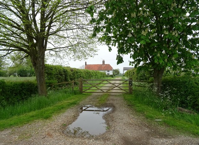
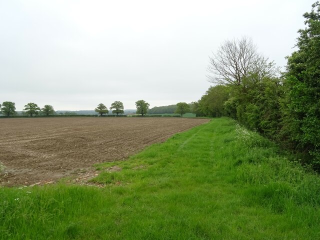
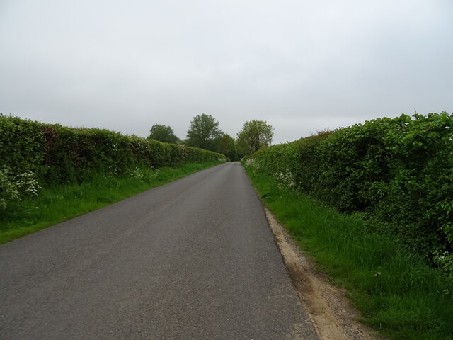
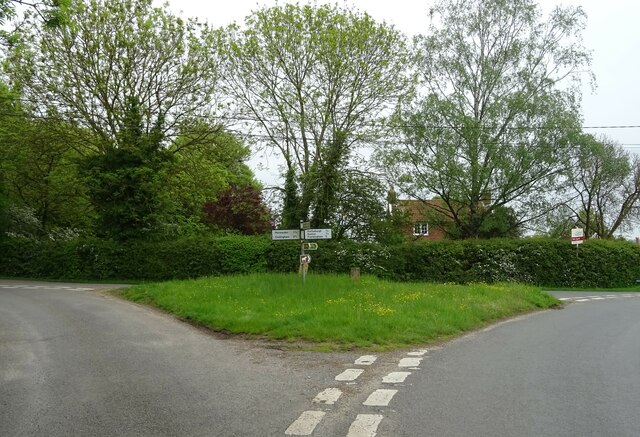
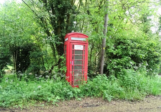
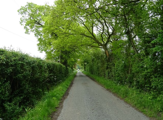
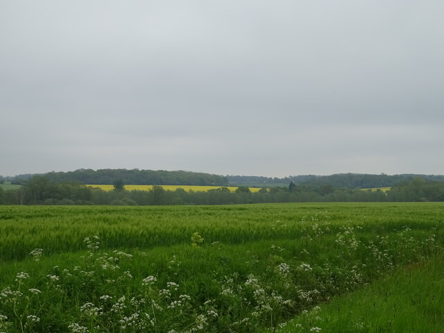
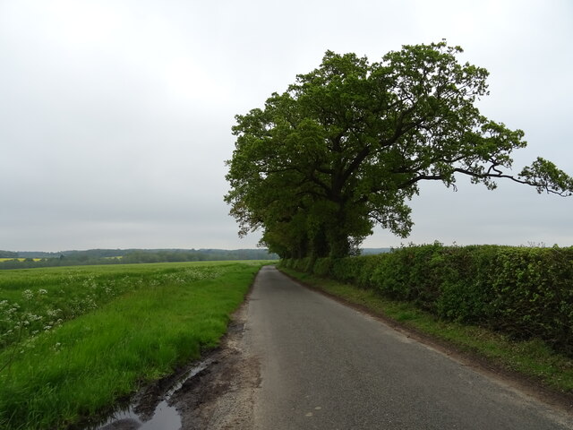
Jubilee Wood Images

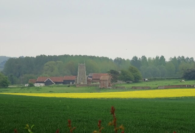
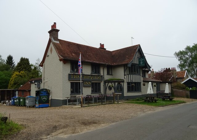
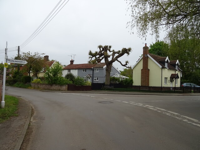
Images are sourced within 2km of 52.190566/1.2860505 or Grid Reference TM2459. Thanks to Geograph Open Source API. All images are credited.

Cottages, Hoo Green
Cottages, Hoo Green
Track to Elm Tree Farm
Field margin, Hoo Green
National Cycle Route 1, Hoo Green
Road junction with fingerpost, Hoo
K6 telephone box, Hoo Does not seem to have been used for a while.
K6 telephone box, Hoo
Does not seem to have been used for a while.
Looking north on Church Lane
Cereal crop, Hoo
Cereal crop, Hoo
National Cycle Route 1 towards Letheringham
Fields towards St Mary's Church
Cereal crop near Gibbs' Cottage
Mill Lane approaching Gibbs' Cottage
River Deben from Kettleburgh Bridge
Elizabeth II postbox, Hoo Postbox No. IP13 6227.
See <a href="https://www.geograph.org.uk/photo/7498816">TM2658 : Crop field, Hoo</a> for context.
Elizabeth II postbox, Hoo
Postbox No. IP13 6227. See TM2658 : Crop field, Hoo for context.
Crop field, Hoo Showing position of Postbox No. IP13 6227.
See <a href="https://www.geograph.org.uk/photo/7498814">TM2658 : Elizabeth II postbox, Hoo</a> for postbox.
Crop field, Hoo
Showing position of Postbox No. IP13 6227. See TM2658 : Elizabeth II postbox, Hoo for postbox.
The Chequers Inn, Kettleburgh
Sign for the Chequers Inn, Kettleburgh
Road junction, Kettleburgh
Show me another place!

Jubilee Wood is located at Grid Ref: TM2459 (Lat: 52.190566, Lng: 1.2860505)

Administrative County: Suffolk

District: East Suffolk

Police Authority: Suffolk

What 3 Words

///dummy.removal.rollers. Near Framlingham, Suffolk

Nearby Locations

Friday Street Jubilee Wood

Related Wikis

Brandeston Hall

Brandeston Hall is a grade II* listed house in Old Maids Lane, Brandeston, Suffolk, England.The Hall is the former manor house of Brandeston but is now...

All Saints' Church, Brandeston

The Church of All Saints is a Church of England parish church in Brandeston, Suffolk, England. The church dates from the Middle Age and is a Grade I listed...

Brandeston

Brandeston is a village in Suffolk, England on the River Deben 11 miles (18 km) northeast of Ipswich. Brandeston is west of Kettleburgh and northwest of...

Hoo, Suffolk

Hoo is a village and civil parish in the East Suffolk district of the English county of Suffolk. It is located 3 miles (4.8 km) north-west of the town...

Have you been to Jubilee Wood?

Leave your review of Jubilee Wood below (or comments, questions and feedback).