The Shaw
Wood, Forest in Kent Shepway
England
The Shaw

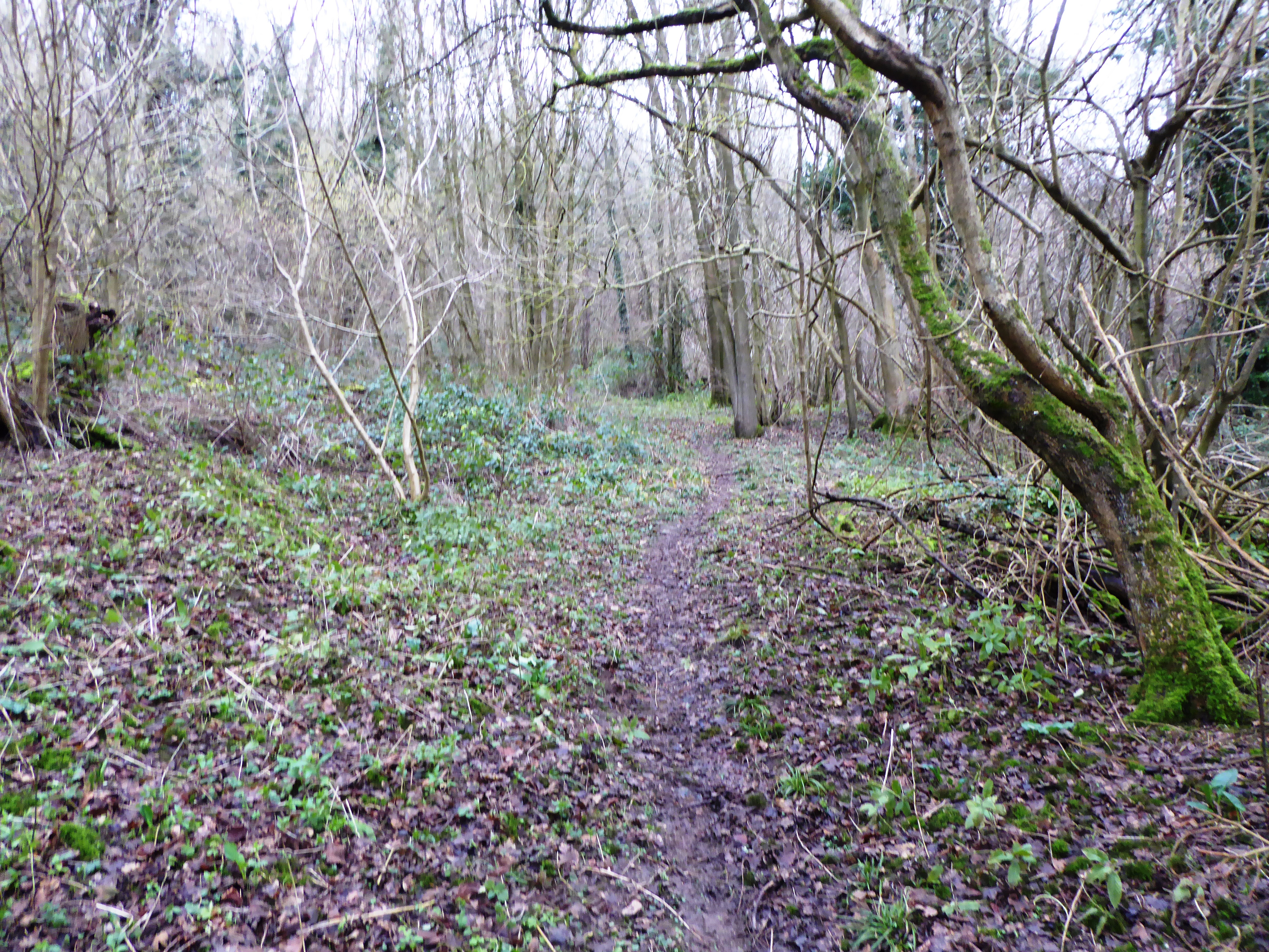
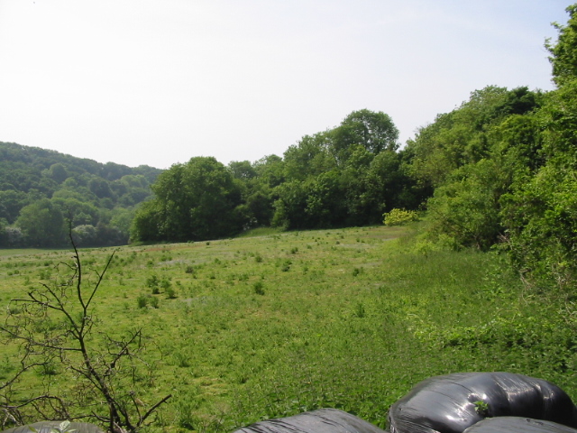
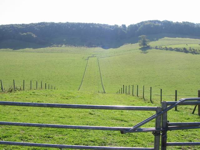
The Shaw, located in Kent, is a beautiful woodland area known for its serene atmosphere and captivating natural beauty. Spread across acres of land, this forest offers a peaceful retreat for nature enthusiasts and outdoor adventurers alike.
The woodland features a diverse range of tree species, including oak, beech, and birch, creating a rich and vibrant ecosystem. The dense canopy overhead provides shade and a sense of tranquility, making it an ideal spot for leisurely walks, picnics, or simply unwinding amidst nature.
The Shaw is also home to various wildlife species, such as deer, foxes, and birds, making it a haven for bird watchers and wildlife enthusiasts. The forest's unique blend of flora and fauna creates an enchanting environment, perfect for those seeking a break from the hustle and bustle of everyday life.
Visitors to The Shaw can explore the well-maintained trails that wind through the woodland, allowing them to immerse themselves in its natural wonders. The forest also offers designated picnic areas and benches, inviting visitors to relax and take in the picturesque surroundings.
Additionally, The Shaw provides educational opportunities, hosting guided tours and nature-themed events that allow visitors to learn more about the local ecosystem and conservation efforts. These initiatives aim to raise awareness about the importance of preserving and protecting the natural environment.
Overall, The Shaw in Kent is a captivating woodland destination that offers a peaceful retreat and an opportunity to connect with nature. With its stunning landscapes, diverse wildlife, and educational programs, it is a must-visit location for anyone seeking a tranquil escape in the heart of nature.
If you have any feedback on the listing, please let us know in the comments section below.
The Shaw Images
Images are sourced within 2km of 51.149487/1.2001036 or Grid Reference TR2343. Thanks to Geograph Open Source API. All images are credited.


The Shaw is located at Grid Ref: TR2343 (Lat: 51.149487, Lng: 1.2001036)
Administrative County: Kent
District: Shepway
Police Authority: Kent
What 3 Words
///bypassed.hoofs.including. Near Wootton, Kent
Nearby Locations
Related Wikis

Swingfield Preceptory
Swingfield Preceptory (or St John's Commandery, Swingfield) was a priory about 5 miles north of Folkestone, Kent on the south coast of England. == History... ==

St Peter's Church, Swingfield
St Peter's Church is a redundant Anglican church in the village of Swingfield, some 3 miles (5 km) northeast of Hawkinge, Kent, England. It is recorded...

Swingfield
Swingfield is a village and civil parish in the district of Folkestone and Hythe in Kent, England. The parish includes the settlements of Densole on the...

RAF Swingfield
Royal Air Force Swingfield or more simply RAF Swingfield is a former Royal Air Force Advanced Landing Ground located 5.5 miles (8.9 km) north west of Dover...
Sladden Wood
Sladden Wood is a 7-hectare (17-acre) nature reserve north of Alkham in Kent. It is managed by the Kent Wildlife Trust.The main trees in this wood are...
Alkham, Lydden and Swingfield Woods
Alkham, Lydden and Swingfield Woods is a 228.3-hectare (564-acre) biological Site of Special Scientific Interest north-west of Dover in Kent. Alkham Valley...

Selsted
Selsted is a hamlet in Kent, England. It is in the local government district of Folkestone and Hythe, and the electoral ward of North Downs East.During...
Alkham Valley
The Alkham Valley is in the Kent Downs (the eastern part of the North Downs), an Area of Outstanding Natural Beauty, in South East Kent, England. The valley...
Nearby Amenities
Located within 500m of 51.149487,1.2001036Have you been to The Shaw?
Leave your review of The Shaw below (or comments, questions and feedback).