Stow Heath

Wood, Forest in Norfolk North Norfolk

England

Stow Heath

Houses on Swanton Abbott Road Further similar houses are out of sight to the right, evidently built rather recently. These seem of some age.
Houses on Swanton Abbott Road Credit: Robin Webster

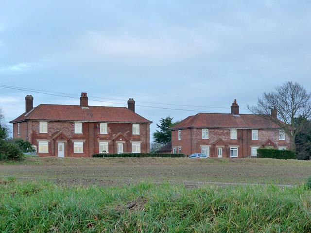
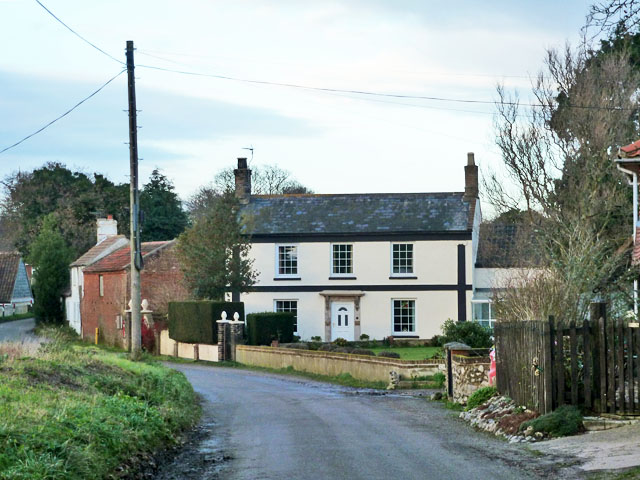
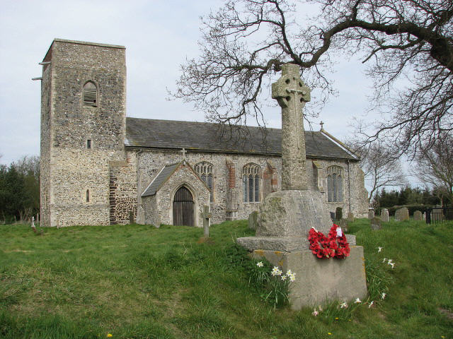
Stow Heath is a small village located in the county of Norfolk, England. Situated amidst the picturesque landscape, it is known for its sprawling woodlands and forests. This serene and tranquil village offers residents and visitors a peaceful retreat away from the hustle and bustle of city life.

The village is nestled within a dense forest, which covers a significant portion of the area. The woods are home to a rich variety of flora and fauna, making it a haven for nature lovers and wildlife enthusiasts. The towering trees provide a canopy of shade, creating a cool and soothing atmosphere that is perfect for leisurely walks and picnics.

Stow Heath is also known for its well-preserved ancient woodland. These woodlands have existed for centuries and are home to some rare and endangered species of plants and animals. Conservation efforts have been made to protect and maintain the natural beauty of these ancient woodlands, ensuring their survival for future generations.

The village itself is small and close-knit, with a tight community of friendly and welcoming residents. It has a few amenities, including a village hall and a local pub, where locals gather to socialize and unwind. The village also hosts various events throughout the year, such as summer fairs and Christmas markets, which bring the community together.

In conclusion, Stow Heath in Norfolk is a charming village surrounded by woodlands and forests. It offers a peaceful and idyllic setting for those seeking a break from the urban lifestyle, with its beautiful natural landscapes and strong sense of community.

If you have any feedback on the listing, please let us know in the comments section below.

Stow Heath Images

Images are sourced within 2km of 52.791348/1.318409 or Grid Reference TG2326. Thanks to Geograph Open Source API. All images are credited.

Houses on Swanton Abbott Road Further similar houses are out of sight to the right, evidently built rather recently. These seem of some age.
Houses on Swanton Abbott Road
Further similar houses are out of sight to the right, evidently built rather recently. These seem of some age.
House at Skeyton Corner Believed to be called The Laurels.
House at Skeyton Corner
Believed to be called The Laurels.
Crossroads at White Cross
Norwich Road at White Cross
Stubble field by Burgh next Aylsham
View along Norwich Road
Stubble field north of Woful Green
Fields by North Farm
Stubble field by North Farm
Fields by North Farm
Lane past North Farm
King's Bridge
King's Bridge
Field horsetail  (Equisetum arvense) Growing by the roadside > <a title="https://www.geograph.org.uk/photo/943907" href="https://www.geograph.org.uk/photo/943907">Link</a>. Field Horsetail contains a number of chemicals with medicinal properties: it is rich in silicon, potassium, and calcium, and can be used to treat cartilage, tendon, and bone problems as well as polyps, epistasis and bleeding, kidney and bladder problems, gastro-enteritis, prostate and urinary infections. Applied externally it can be used for treating chilblains and wounds. The buds are eaten as a vegetable in Japan in spring time. It was also once used as a polish for pewter and wood and to strengthen fingernails.  Hurdy-Gurdy players used the plant to dress the wheels of their instruments.
Field horsetail (Equisetum arvense)
Growing by the roadside > Link. Field Horsetail contains a number of chemicals with medicinal properties: it is rich in silicon, potassium, and calcium, and can be used to treat cartilage, tendon, and bone problems as well as polyps, epistasis and bleeding, kidney and bladder problems, gastro-enteritis, prostate and urinary infections. Applied externally it can be used for treating chilblains and wounds. The buds are eaten as a vegetable in Japan in spring time. It was also once used as a polish for pewter and wood and to strengthen fingernails. Hurdy-Gurdy players used the plant to dress the wheels of their instruments.
Cattle pasture by King's Covert
View along King's Beck The wood seen at right is King's Covert.
View along King's Beck
The wood seen at right is King's Covert.
The war memorial beside Skeyton church
All Saints church and war memorial, Skeyton For a comparison shot taken in April 2007 see > <a title="https://www.geograph.org.uk/photo/451280" href="https://www.geograph.org.uk/photo/451280">Link</a>.
All Saints church and war memorial, Skeyton
For a comparison shot taken in April 2007 see > Link.
Show me another place!

Stow Heath is located at Grid Ref: TG2326 (Lat: 52.791348, Lng: 1.318409)

Administrative County: Norfolk

District: North Norfolk

Police Authority: Norfolk

What 3 Words

///ascendant.tricycle.than. Near Buxton, Norfolk

Related Wikis

Tuttington

Tuttington is a village and former civil parish, now in the parish of Burgh and Tuttington, in the Broadland district, in the county of Norfolk, England...

Skeyton

Skeyton is a small village and civil parish in the English county of Norfolk. The village and parish of Skeyton had in the 2001 census a population of...

Burgh and Tuttington

Burgh and Tuttington is a civil parish in the English county of Norfolk. It covers an area of 6.70 km2 (2.59 sq mi) and had a population of 255 in 115...

Felmingham Cutting

Felmingham Cutting is a 1-hectare (2.5-acre) Local Nature Reserve west of North Walsham in Norfolk. It is owned by North Norfolk District Council and...

Nearby Amenities

Located within 500m of 52.791348,1.318409
Give Way
Lat/Long: 52.7930051/1.3200365
Give Way
Lat/Long: 52.7930901/1.3199727
Post Box
Operator: Royal Mail
Post Box Type: lamp
Royal Cypher: EIIR
Royal Cypher Wikidata: Q33102113
Lat/Long: 52.7917517/1.32556
Power: pole
Lat/Long: 52.792267/1.3248825
Power: pole
Lat/Long: 52.791894/1.3236862
Power: pole
Lat/Long: 52.7921576/1.3223465
Power: pole
Lat/Long: 52.7924017/1.3210416
Location Transition: yes
Power: pole
Transformer: distribution
Lat/Long: 52.7925412/1.3203013
Give Way
Lat/Long: 52.7929845/1.3197665
The data included in this document is from www.openstreetmap.org. The data is made available under ODbL.

Have you been to Stow Heath?

Leave your review of Stow Heath below (or comments, questions and feedback).