Auchinreoch
Settlement in Stirlingshire
Scotland
Auchinreoch
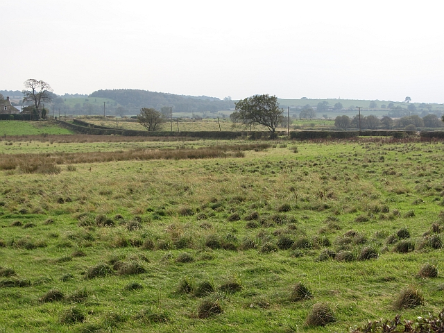
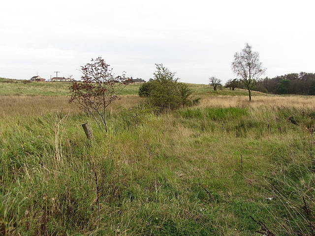
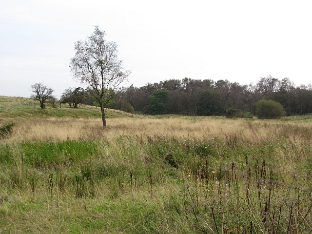
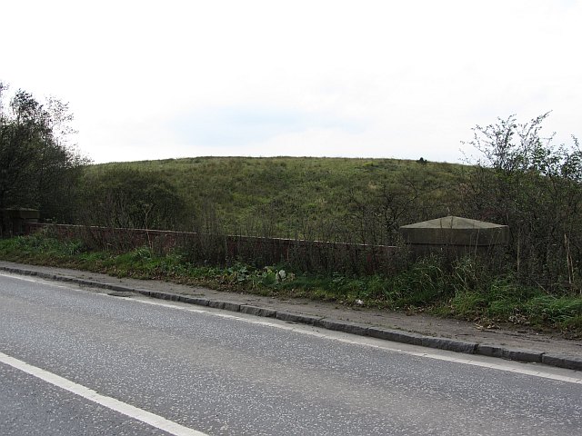
Auchinreoch is a small village located in Stirlingshire, Scotland. Situated approximately 10 miles north of the town of Stirling, Auchinreoch is nestled in the picturesque countryside, surrounded by rolling hills and stunning natural landscapes.
The village is known for its tranquil and idyllic setting, making it a popular destination for those seeking a peaceful retreat away from the hustle and bustle of city life. The area is characterized by its scattered cottages and farmhouses, giving it a charming rural atmosphere.
Auchinreoch is surrounded by several notable landmarks and attractions. Just a short distance away is the renowned Loch Lomond and The Trossachs National Park, offering visitors the opportunity to explore the breathtaking wilderness and partake in outdoor activities such as hiking, cycling, and fishing.
In terms of amenities, Auchinreoch is relatively small, with limited commercial facilities. However, nearby towns and villages provide a range of services, including shops, restaurants, and schools. For more extensive amenities, the city of Stirling is easily accessible, offering a wider selection of amenities such as shopping centers, entertainment venues, and healthcare facilities.
The village benefits from excellent transport links, with the A811 and A81 roads passing nearby, providing easy access to surrounding areas. Additionally, Stirling Train Station is within a short drive, offering regular services to major cities in Scotland, including Glasgow and Edinburgh.
Overall, Auchinreoch offers a peaceful and picturesque setting, making it an ideal place for those seeking a quiet rural lifestyle while still having convenient access to nearby amenities and attractions.
If you have any feedback on the listing, please let us know in the comments section below.
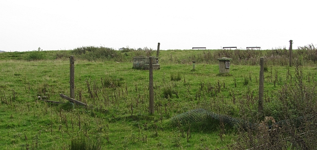
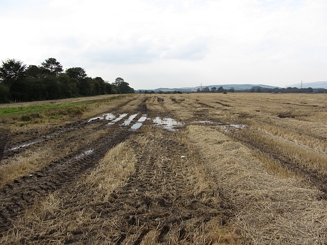
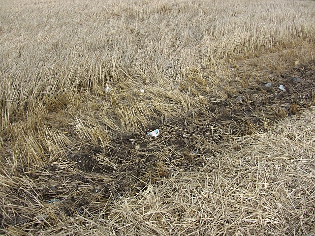
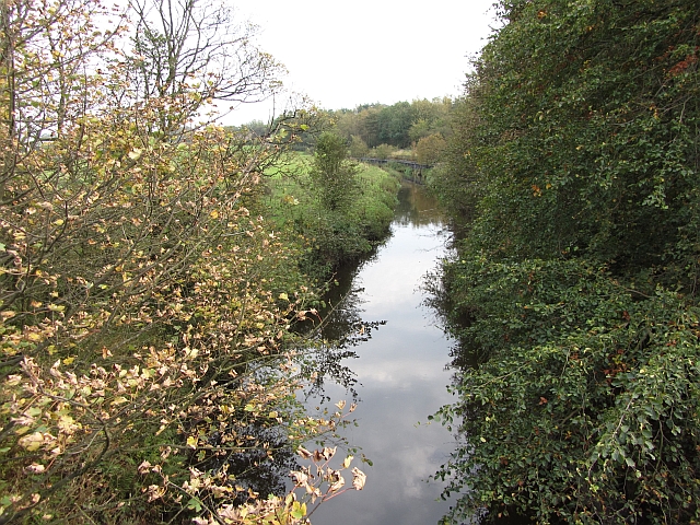
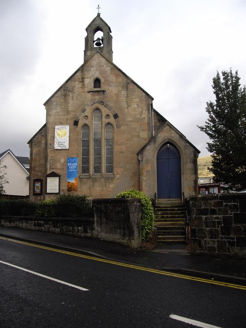
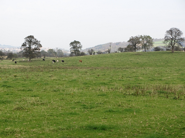
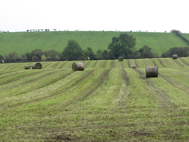
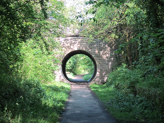
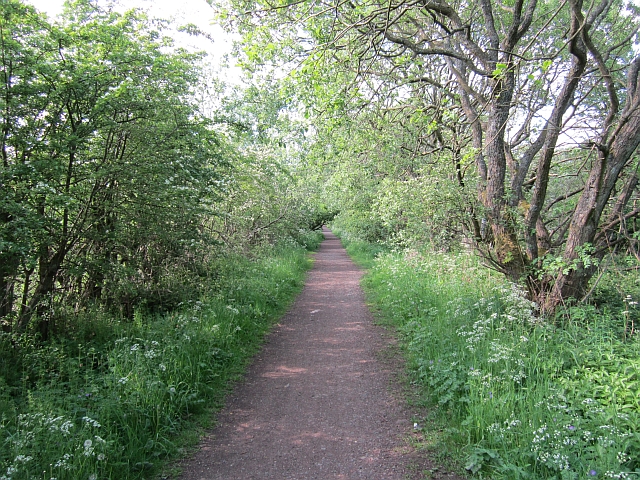
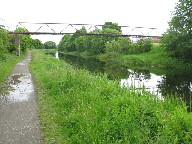
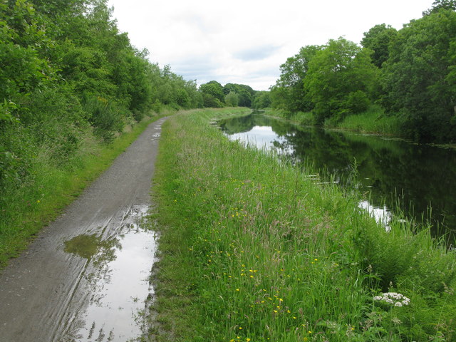
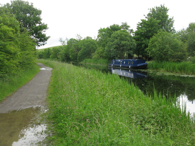
Auchinreoch Images
Images are sourced within 2km of 55.958546/-4.1319277 or Grid Reference NS6776. Thanks to Geograph Open Source API. All images are credited.

Auchinreoch is located at Grid Ref: NS6776 (Lat: 55.958546, Lng: -4.1319277)
Unitary Authority: East Dunbartonshire
Police Authority: Greater Glasgow
What 3 Words
///trucked.aunts.december. Near Milton of Campsie, East Dunbartonshire
Nearby Locations
Related Wikis

Auchenreoch
Auchenreoch, or Auchinreoch is a small hamlet formerly in Stirlingshire but now in East Dunbartonshire, Scotland near Kilsyth and Kirkintilloch. A sparsely...

Auchendavy
Auchendavy was a Roman fort on the Antonine Wall in Scotland. Much of the site archeology was destroyed by the builders of the Forth and Clyde Canal. Between...
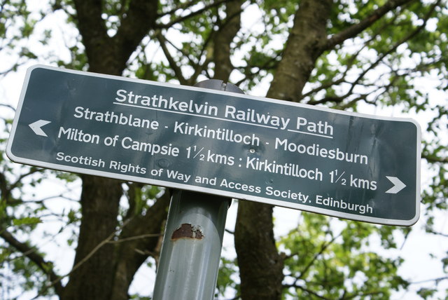
Strathkelvin Railway Path
Strathkelvin Railway Path is rail trail following the route of several dismantled railway lines extending from Gartcosh to Strathblane. It goes for 10...

Broomhill Hospital
Broomhill Hospital was a health facility in Kirkintilloch, East Dunbartonshire, Scotland. == History == The hospital, which was financed by a donation...

Birdston
Birdston is a hamlet located in East Dunbartonshire, Scotland between Milton of Campsie and Kirkintilloch. The 'Campsie poet' William Muir (1766-1817)...
Milton of Campsie railway station
Milton of Campsie railway station served the village of Milton of Campsie, in the historical county of Stirlingshire, Scotland, from 1848 to 1951 on the...
Milton of Campsie
Milton of Campsie is a village formerly in the county of Stirlingshire, but now in East Dunbartonshire, Scotland roughly 10 miles (16 km) north of Glasgow...
Harestanes A.F.C.
Harestanes Amateur Football Club are a Scottish amateur football club from the Harestanes area of Kirkintilloch, East Dunbartonshire. Formed in 1981, they...
Nearby Amenities
Located within 500m of 55.958546,-4.1319277Have you been to Auchinreoch?
Leave your review of Auchinreoch below (or comments, questions and feedback).