Watson's Spinney
Wood, Forest in Norfolk South Norfolk
England
Watson's Spinney
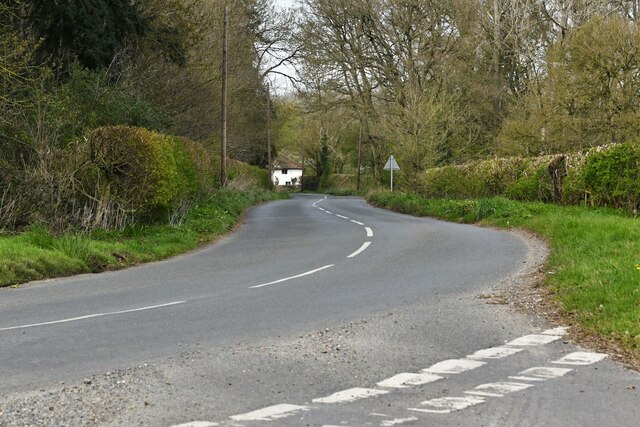
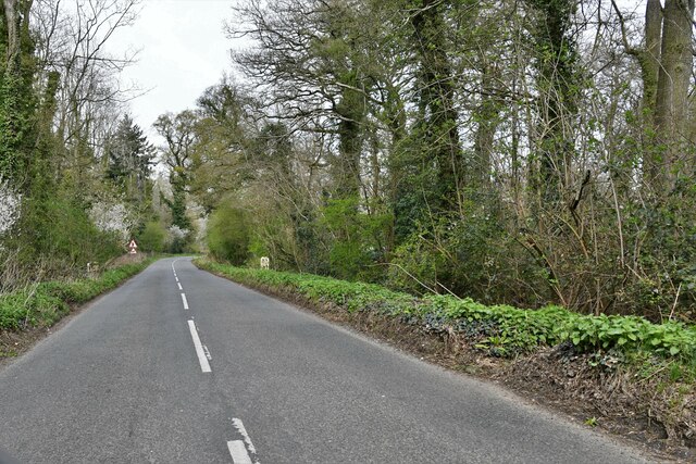
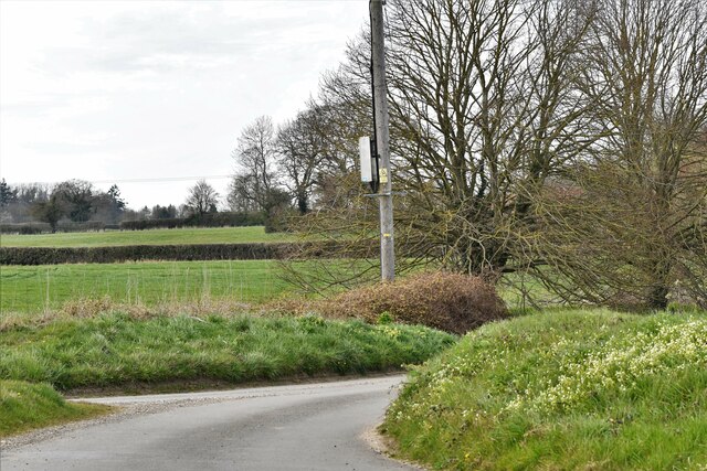
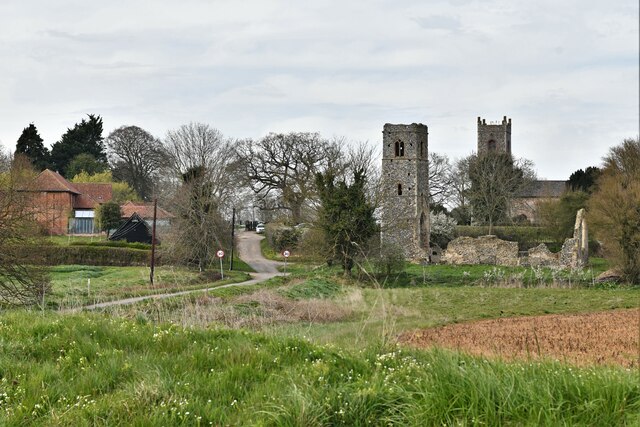
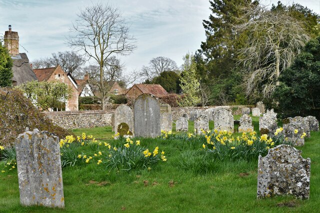
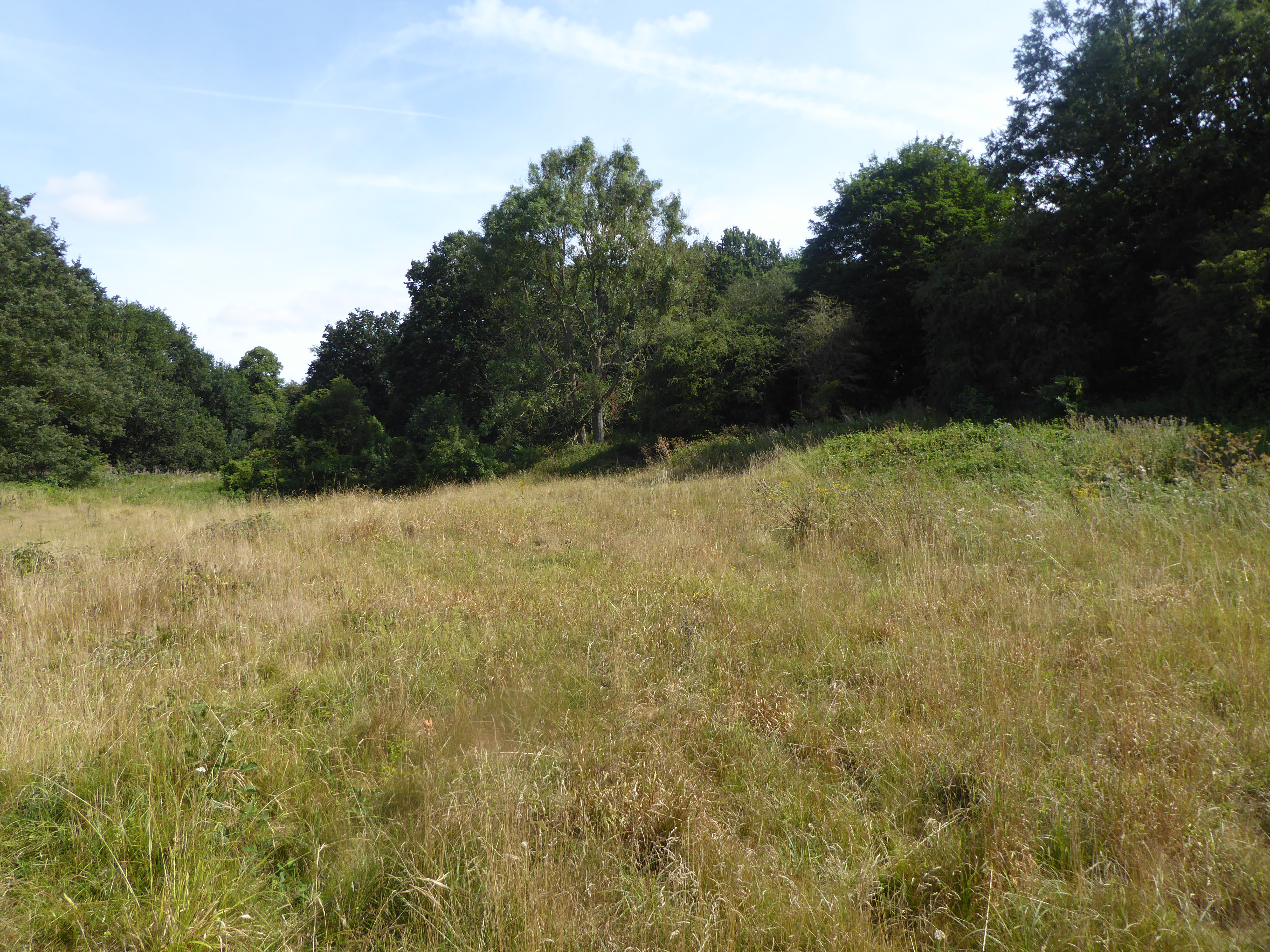
Watson's Spinney is a picturesque woodland area located in Norfolk, England. Spanning over several acres, this enchanting forest is a haven for nature enthusiasts and provides a tranquil escape from the hustle and bustle of city life.
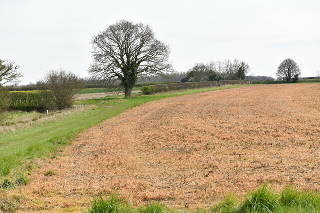
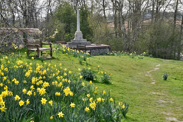
The Spinney is home to a diverse range of plant and animal species, including ancient oak and beech trees that tower majestically over the forest floor. The woodland floor is carpeted with a rich tapestry of wildflowers, creating a vibrant display of colors during the spring and summer months.
Visitors can explore the Spinney by following a network of well-maintained walking trails that wind through the forest. These trails offer a chance to immerse oneself in the natural beauty of the surroundings and provide an opportunity to spot wildlife such as deer, squirrels, and various bird species.
The forest also boasts a small pond, which serves as a watering hole for local wildlife. This tranquil oasis invites visitors to sit and observe the peacefulness of the surroundings or perhaps indulge in a spot of birdwatching.
Watson's Spinney is a popular destination for families, hikers, and nature lovers alike. It offers a serene environment for those seeking solace in nature, as well as opportunities for outdoor activities such as picnicking and photography.
Overall, Watson's Spinney is a hidden gem in Norfolk, providing a delightful escape into nature. Its lush greenery, diverse wildlife, and peaceful atmosphere make it a must-visit location for anyone seeking respite in the heart of the English countryside.
If you have any feedback on the listing, please let us know in the comments section below.
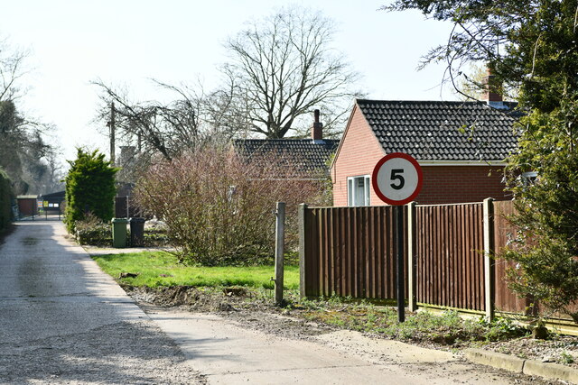
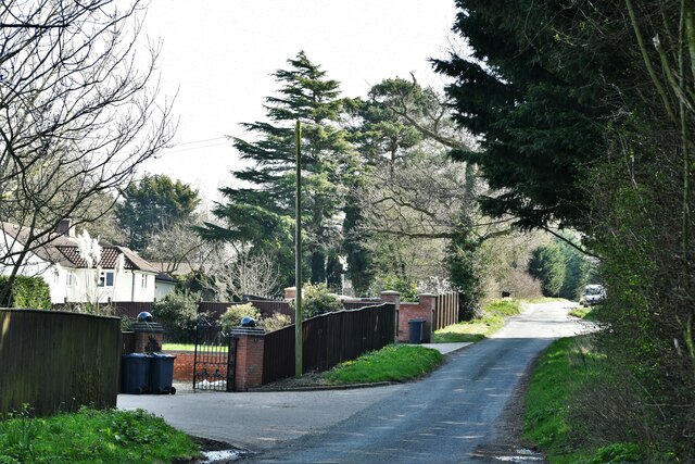
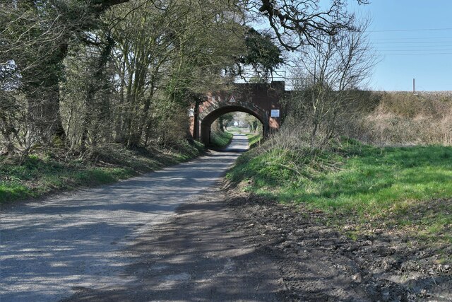
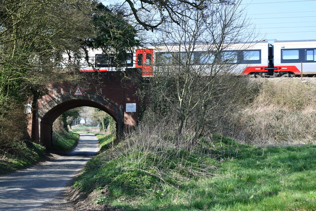
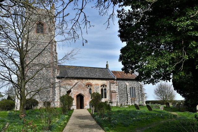
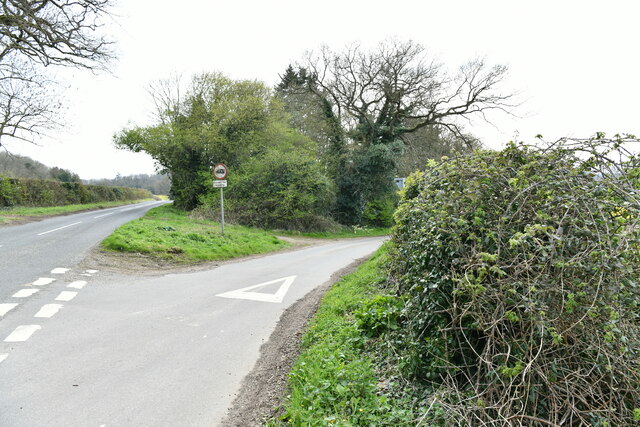
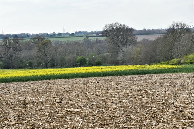
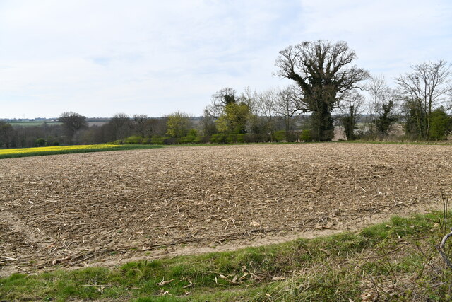
Watson's Spinney Images
Images are sourced within 2km of 52.54925/1.2870873 or Grid Reference TM2299. Thanks to Geograph Open Source API. All images are credited.
Watson's Spinney is located at Grid Ref: TM2299 (Lat: 52.54925, Lng: 1.2870873)
Administrative County: Norfolk
District: South Norfolk
Police Authority: Norfolk
What 3 Words
///armed.loom.tidy. Near Mulbarton, Norfolk
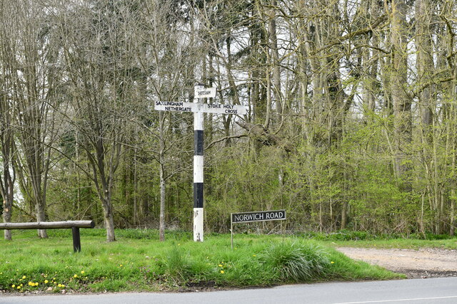
Nearby Locations
Related Wikis

Shotesham Common
Shotesham Common is a 21.6-hectare (53-acre) biological Site of Special Scientific Interest south of Norwich in Norfolk.This site consists of traditionally...

Swainsthorpe
Swainsthorpe is a village in Norfolk, England. It lies on the A140 road, approximately 5 miles south of Norwich, and just north of Newton Flotman. It covers...
Swainsthorpe railway station
Swainsthorpe was a railway station in Swainsthorpe, England, around five miles south of Norwich. It was opened in 1850 when the Great Eastern Railway constructed...
Smockmill Common
Smockmill Common is a 10-hectare (25-acre) Local Nature Reserve on the eastern outskirts of Newton Flotman in Norfolk. It is owned by the Shotesham Estate...

Stoke Holy Cross
Stoke Holy Cross is a village in South Norfolk which lies approximately 4 miles (6.4 km) south of Norwich. == Geography == Stoke sits on the River Tas...
Saxlingham Nethergate
Saxlingham Nethergate is a village and civil parish in Norfolk, England, about 9.5 miles (15 km) south of Norwich. The civil parish has an area of 3.3...

Shotesham
Shotesham () is a village in South Norfolk which lies approximately 5 miles south of Norwich. It sits next to Stoke Holy Cross and Saxlingham Nethergate...
Dunston Common
Dunston Common is a 3.8-hectare (9.4-acre) Local Nature Reserve south of Norwich in Norfolk. It is owned and managed by South Norfolk District Council...
Nearby Amenities
Located within 500m of 52.54925,1.2870873Have you been to Watson's Spinney?
Leave your review of Watson's Spinney below (or comments, questions and feedback).