Broke Hall Woods
Wood, Forest in Suffolk East Suffolk
England
Broke Hall Woods
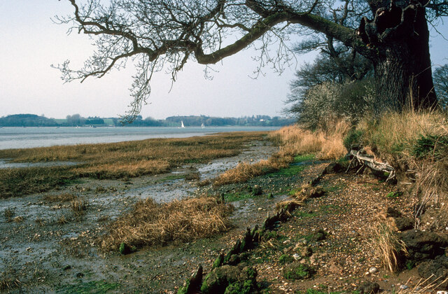
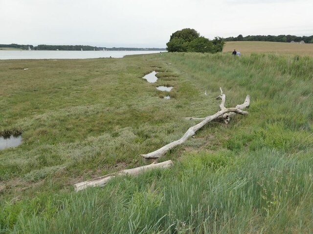
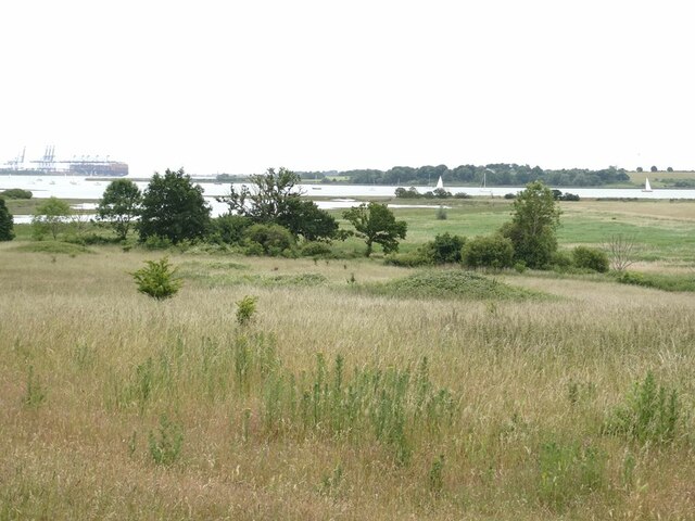
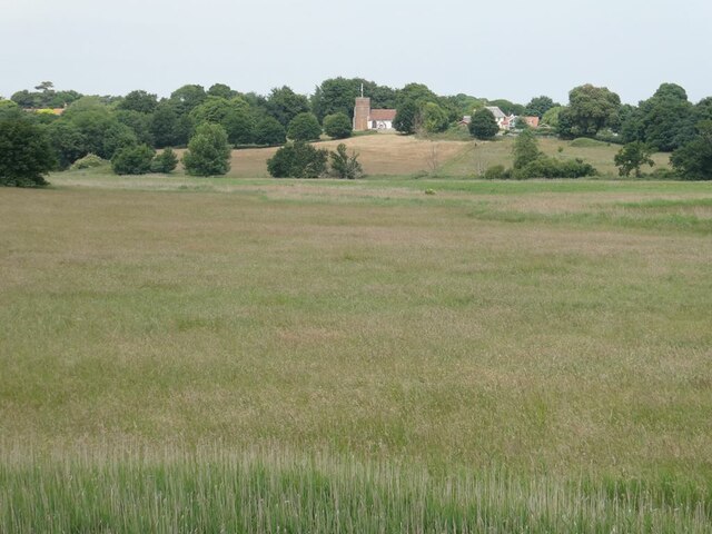
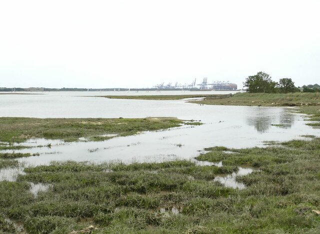
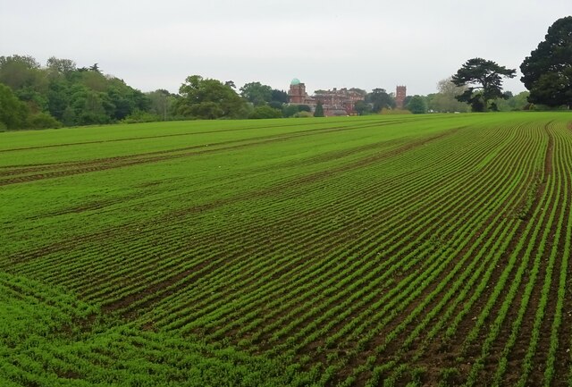
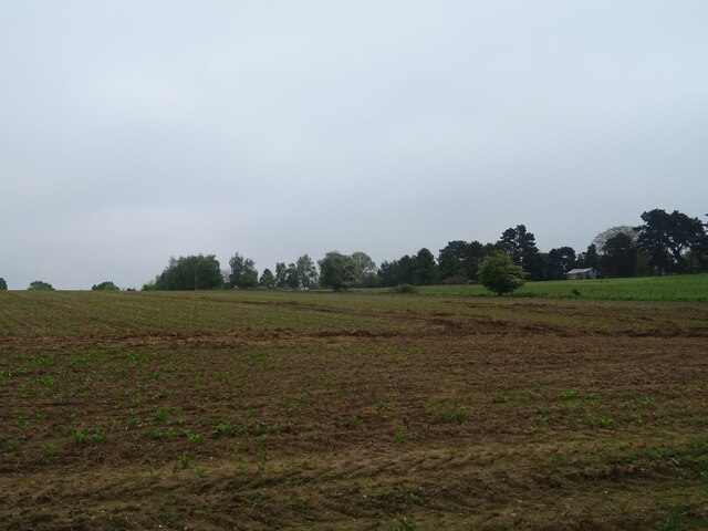
Broke Hall Woods is a picturesque woodland located in the county of Suffolk, England. Situated near the town of Ipswich, the woods cover an area of approximately 200 acres and are a popular destination for nature enthusiasts and outdoor lovers.
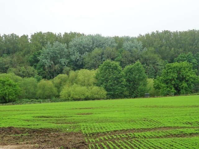
The woodland is predominantly composed of oak and beech trees, which provide a dense canopy and create a tranquil and shaded environment. The forest floor is covered in a rich carpet of wildflowers, ferns, and mosses, adding to the woods' natural beauty and charm.
Broke Hall Woods is home to a diverse range of wildlife, including deer, foxes, rabbits, and a multitude of bird species. Nature lovers can often spot woodpeckers, jays, and tawny owls, among others, as they explore the woods. The peaceful atmosphere and abundance of flora and fauna make it an ideal spot for birdwatching and wildlife photography.
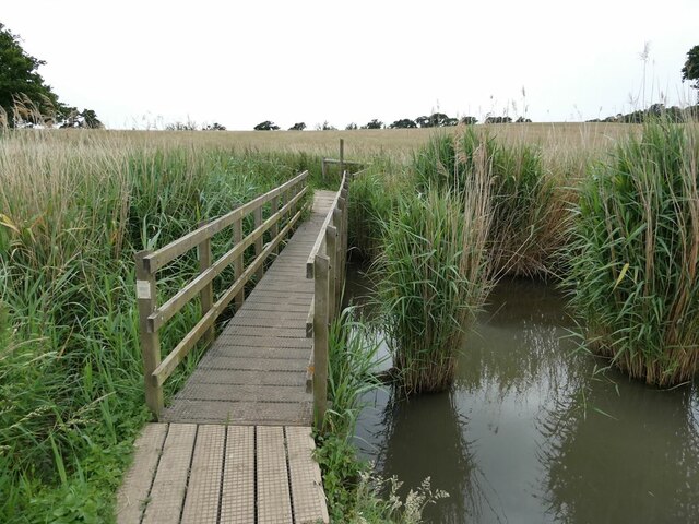
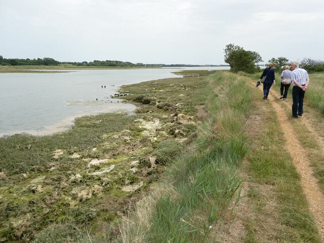
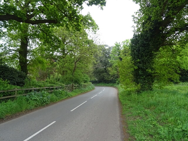
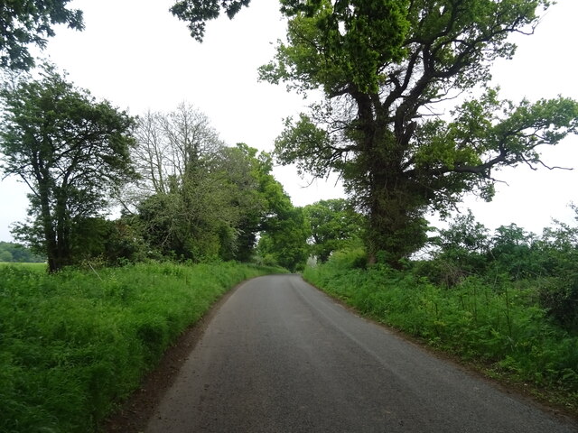
The woods also feature a network of well-maintained footpaths and trails, allowing visitors to explore the area at their own pace. These paths wind through the woodland, providing opportunities for leisurely walks, jogging, or cycling. The woods are particularly popular in the spring, when the bluebells are in full bloom, creating a stunning carpet of vibrant colors.
Broke Hall Woods offers a peaceful escape from the hustle and bustle of urban life, providing visitors with the chance to reconnect with nature and enjoy the serenity of the Suffolk countryside. Whether it's a leisurely stroll, a picnic, or wildlife spotting, the woods have something to offer for everyone seeking a tranquil and natural retreat.
If you have any feedback on the listing, please let us know in the comments section below.
Broke Hall Woods Images
Images are sourced within 2km of 52.008233/1.2388238 or Grid Reference TM2239. Thanks to Geograph Open Source API. All images are credited.

Broke Hall Woods is located at Grid Ref: TM2239 (Lat: 52.008233, Lng: 1.2388238)
Administrative County: Suffolk
District: East Suffolk
Police Authority: Suffolk
What 3 Words
///young.clusters.defectors. Near Shotley Gate, Suffolk
Nearby Locations
Related Wikis

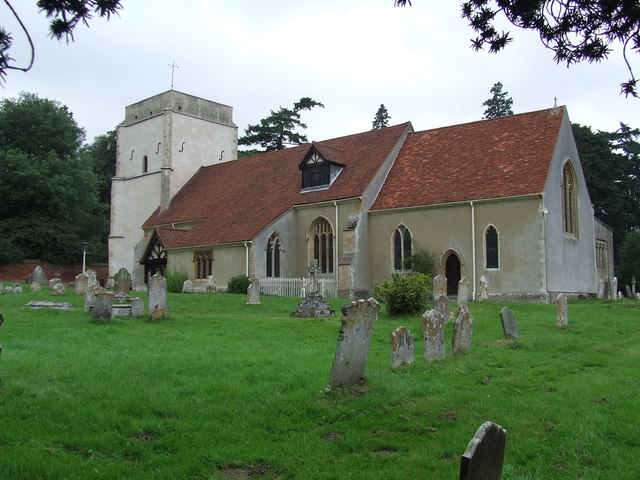
Broke Hall
Broke Hall is an English country house at Nacton, near Ipswich, Suffolk. It overlooks the River Orwell, opposite Pin Mill. The gardens were landscaped...

Orwell Park School
Orwell Park School is a day and boarding preparatory school for boys and girls in the village of Nacton on the edge of Ipswich in the English county of...

Nacton Meadows
Nacton Meadows is a 4.5-hectare (11-acre) biological Site of Special Scientific Interest north-west of Levington in Suffolk. It is in the Suffolk Coast...
Nacton
Nacton is a village and civil parish in the East Suffolk district of Suffolk, England. The parish is bounded by the neighbouring parishes of Levington...

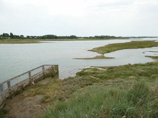
Orwell Estuary
Orwell Estuary is a 1,335.7 hectare biological Site of Special Scientific Interest which stretches along the River Orwell and its banks between Felixstowe...
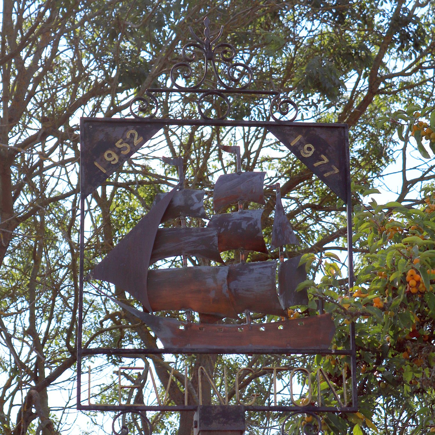
Levington
Levington is a small village in the county of Suffolk, England in the East Suffolk district. The population of the parish including Stratton Hall at the...

Amberfield School
Amberfield School was a small private school in Nacton, England, coeducational up to the age of 7 years, and for girls up to the age of 16 years, which...
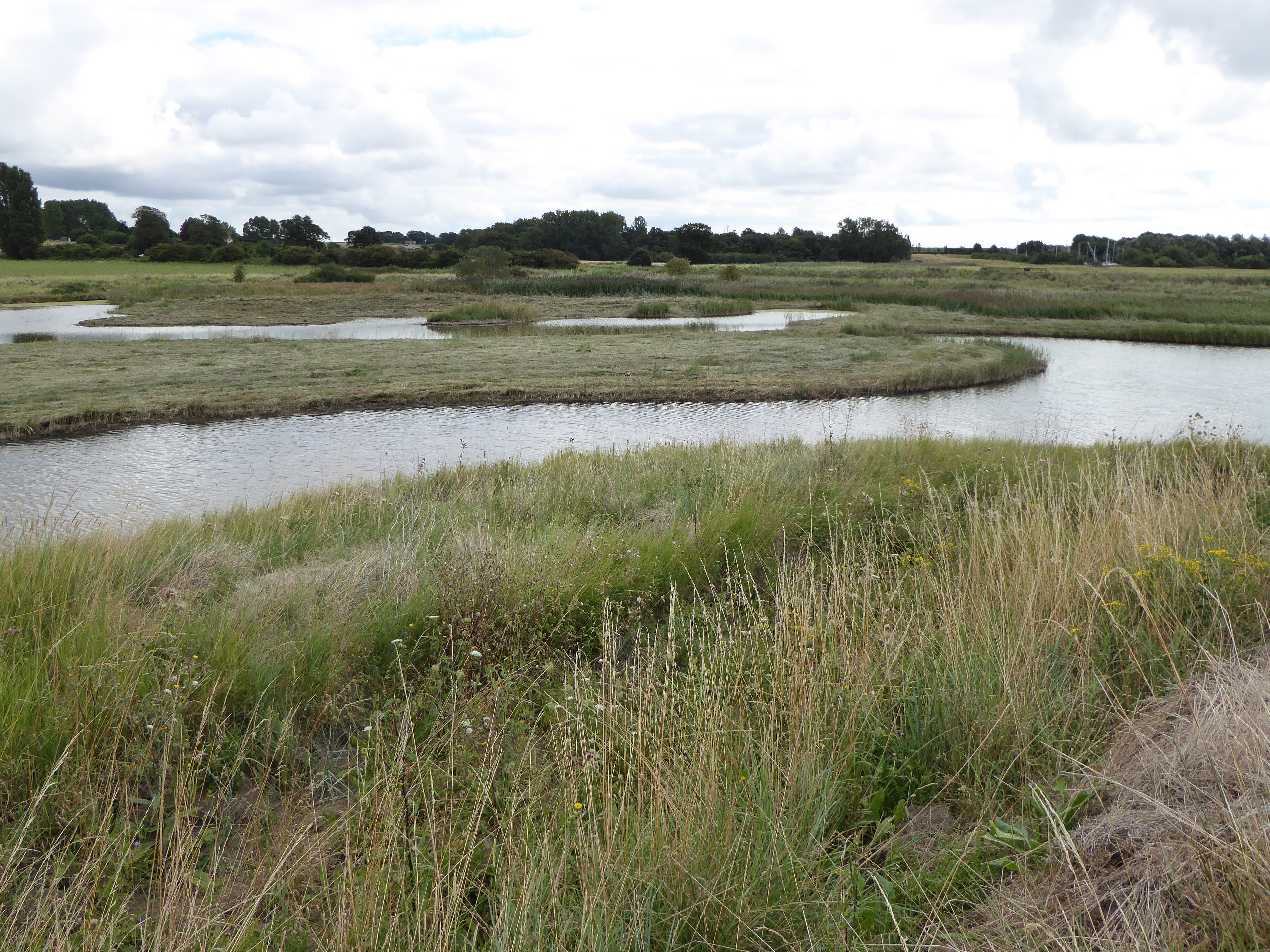
Levington Lagoon
Levington Lagoon is a 5 hectare nature reserve south-east of Levington in Suffolk. It is owned by Suffolk Yacht Harbour Ltd and managed by the Suffolk...
Nearby Amenities
Located within 500m of 52.008233,1.2388238Have you been to Broke Hall Woods?
Leave your review of Broke Hall Woods below (or comments, questions and feedback).