Park Wood

Wood, Forest in Kent Dover

England

Park Wood

Shipping containers These were the <a href="https://www.geograph.org.uk/photo/6950400">TR2143 : Shipping containers</a>, which were in the lay-by in August 2021.
Shipping containers Credit: John Baker

Park Wood is a small woodland located in the county of Kent, England. It is situated within the larger urban area of the city of Canterbury, specifically in the south-eastern part of the city. The wood covers an area of approximately 12 hectares and is known for its natural beauty and biodiversity.

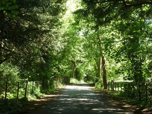
Park Wood is predominantly composed of deciduous trees, including oak, beech, and ash, which create a lush and vibrant canopy during the spring and summer months. The woodland floor is covered in a carpet of bluebells and other wildflowers, adding to the picturesque scenery.

The wood is home to a variety of wildlife, including birds such as woodpeckers, nuthatches, and tawny owls. Small mammals like foxes, badgers, and squirrels can also be spotted within the woodland. In addition, the area is a haven for numerous species of insects and butterflies.

The wood is a popular destination for local residents and visitors alike, who enjoy walking, jogging, and cycling along the well-maintained paths that wind through the trees. The tranquil atmosphere and natural surroundings provide a peaceful retreat from the bustling city.

Park Wood also holds historical significance, as it is believed to have been part of the ancient forest of Blean, which once covered a large area of East Kent. Today, it is managed by the local council, which ensures the preservation of its natural habitat and encourages the community to engage in its conservation efforts.

Overall, Park Wood offers a serene and picturesque escape in the heart of Kent, providing an opportunity to connect with nature and enjoy the beauty of the woodland environment.

If you have any feedback on the listing, please let us know in the comments section below.

Park Wood Images

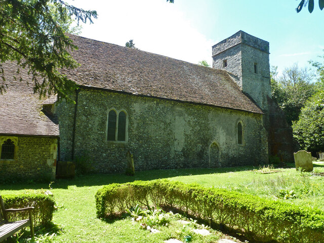
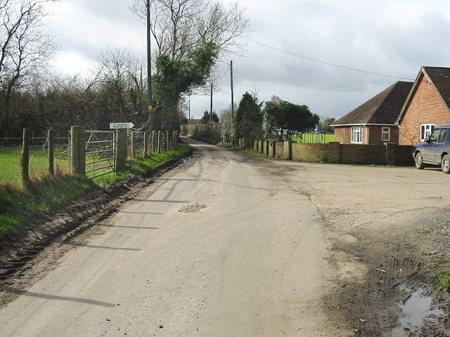
Images are sourced within 2km of 51.161281/1.17859 or Grid Reference TR2245. Thanks to Geograph Open Source API. All images are credited.

Shipping containers These were the <a href="https://www.geograph.org.uk/photo/6950400">TR2143 : Shipping containers</a>, which were in the lay-by in August 2021.
Shipping containers
These were the TR2143 : Shipping containers, which were in the lay-by in August 2021.
St Johns Farm Viewed from an unnamed lane, an outbuilding is in the process of being erected on the farm.
St Johns Farm
Viewed from an unnamed lane, an outbuilding is in the process of being erected on the farm.
St Johns Farm A zoom view, from an unnamed lane, shows that an outbuilding is in the process of being erected on the farm. 

This was a closer view of the outbuilding at <a href="https://www.geograph.org.uk/photo/7126331">TR2343 : St Johns Farm</a> taken a week earlier.
St Johns Farm
A zoom view, from an unnamed lane, shows that an outbuilding is in the process of being erected on the farm. This was a closer view of the outbuilding at TR2343 : St Johns Farm taken a week earlier.
Noticeboard in a field of sheep and lambs The noticeboard was advertising the 5 Nations British Rallycross to be held on Saturday 16th April and Monday 18th April at Lydden Hill Race Circuit. There was a shipping container, in a lay-by, behind the noticeboard.
Noticeboard in a field of sheep and lambs
The noticeboard was advertising the 5 Nations British Rallycross to be held on Saturday 16th April and Monday 18th April at Lydden Hill Race Circuit. There was a shipping container, in a lay-by, behind the noticeboard.
View through a gate Of a dilapidated building in the distant hedgerow.
View through a gate
Of a dilapidated building in the distant hedgerow.
St Johns Farm This view of <a href="https://www.geograph.org.uk/photo/7138279">TR2343 : St Johns Farm</a>, from an unnamed lane, shows the large outbuilding during its construction.
St Johns Farm
This view of TR2343 : St Johns Farm, from an unnamed lane, shows the large outbuilding during its construction.
Outbuilding, St Johns Cottages This view shows the <a href="https://www.geograph.org.uk/photo/4746072">TR2344 : Erection of an outbuilding, St Johns Cottages</a> in October 2015.
Outbuilding, St Johns Cottages
This view shows the TR2344 : Erection of an outbuilding, St Johns Cottages in October 2015.
Lane towards Swingfield Street
Swanton Lane Towards Lydden.
Swanton Lane
Towards Lydden.
Stockham Lane at turning for Wootton Straight on for Selsted. The distance to Wootton given, 1/2 mile, is very optimistic. Even as the crow flies it is about 1.2 miles to the village centre.  And if some other concept of 'Wootton' is used, this distance is still in conflict with a far more realistic measure on a sign up the road much closer to Wootton - see <a href="https://www.geograph.org.uk/photo/7651111">TR2245 : Triangular junction, Park Side</a>.  It would seem that '1' has been lost in transmission and the distance should be '1-1/2'.
Stockham Lane at turning for Wootton
Straight on for Selsted. The distance to Wootton given, 1/2 mile, is very optimistic. Even as the crow flies it is about 1.2 miles to the village centre. And if some other concept of 'Wootton' is used, this distance is still in conflict with a far more realistic measure on a sign up the road much closer to Wootton - see TR2245 : Triangular junction, Park Side. It would seem that '1' has been lost in transmission and the distance should be '1-1/2'.
Lane towards Wootton
Triangular junction, Park Side To the right is a dead-end, to the left, the way to Wootton. The signpost is interesting. Wootton is given as 3/4 mile away, about right, but in conflict with a sign 3/4 mile further back - see <a href="https://www.geograph.org.uk/photo/7651083">TR2244 : Stockham Lane at turning for Wootton</a>.  Also in conflict with most elsewhere is the spelling 'Selstead' rather than 'Selsted'.
Triangular junction, Park Side
To the right is a dead-end, to the left, the way to Wootton. The signpost is interesting. Wootton is given as 3/4 mile away, about right, but in conflict with a sign 3/4 mile further back - see TR2244 : Stockham Lane at turning for Wootton. Also in conflict with most elsewhere is the spelling 'Selstead' rather than 'Selsted'.
Wootton Lane Towards Wootton.
Wootton Lane
Towards Wootton.
Field and hedgerow east of Wootton Lane
Wootton Lane enters Wootton
Wootton Lane, Wootton The church is up on the left.
Wootton Lane, Wootton
The church is up on the left.
Wootton church, north side St. Martin's is a grade II*(star) listed building, basically 13th century.
Wootton church, north side
St. Martin's is a grade II*(star) listed building, basically 13th century.
Show me another place!

Park Wood is located at Grid Ref: TR2245 (Lat: 51.161281, Lng: 1.17859)

Administrative County: Kent

District: Dover

Police Authority: Kent

What 3 Words

///hostels.cats.economics. Near Wootton, Kent

Nearby Locations

Park Wood Park Side

Related Wikis

Selsted

Selsted is a hamlet in Kent, England. It is in the local government district of Folkestone and Hythe, and the electoral ward of North Downs East. During...

Denton with Wootton

Denton with Wootton is a civil parish in the Dover District of Kent, England. The parish contains the settlements of Denton and Wootton, 1 mile (1.6 km...

Swingfield Preceptory

Swingfield Preceptory (or St John's Commandery, Swingfield) was a priory about 5 miles north of Folkestone, Kent on the south coast of England. == History... ==

Wootton, Kent

Wootton is a village and former civil parish, now in the parish of Denton with Wootton, in the Dover district of Kent, England. In 1961 the parish had...

Nearby Amenities

Located within 500m of 51.161281,1.17859
Barrier: stile
Lat/Long: 51.1598739/1.173762
Barrier: stile
Lat/Long: 51.1597309/1.1734511
Barrier: stile
Lat/Long: 51.1636821/1.1789504
Barrier: stile
Lat/Long: 51.1634532/1.1784754
Barrier: stile
Lat/Long: 51.16277/1.177177
Bicycle Parking
Bicycle Parking: stands
Capacity: 20
Covered: no
Lat/Long: 51.1574047/1.1758794
Tourism: picnic_site
Lat/Long: 51.1586424/1.1728786
Generator Method: photovoltaic
Generator Output Electricity: yes
Generator Source: solar
Generator Type: solar_photovoltaic_panel
Location: roof
Power: generator
Lat/Long: 51.1604229/1.1725102
Generator Method: photovoltaic
Generator Output Electricity: yes
Generator Source: solar
Generator Type: solar_photovoltaic_panel
Location: roof
Power: generator
Lat/Long: 51.160391/1.1724392
The data included in this document is from www.openstreetmap.org. The data is made available under ODbL.

Have you been to Park Wood?

Leave your review of Park Wood below (or comments, questions and feedback).