Riverside Covert
Wood, Forest in Suffolk Mid Suffolk
England
Riverside Covert
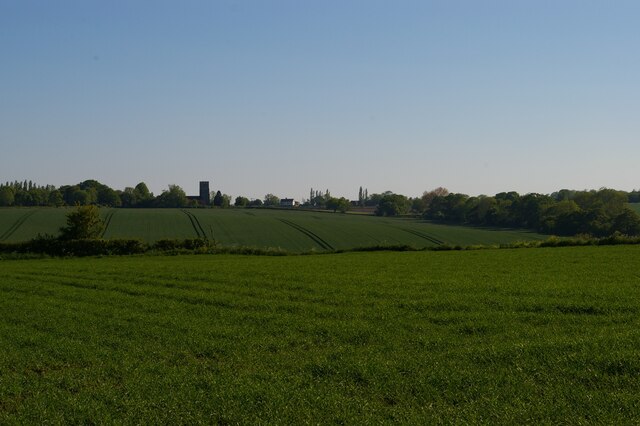
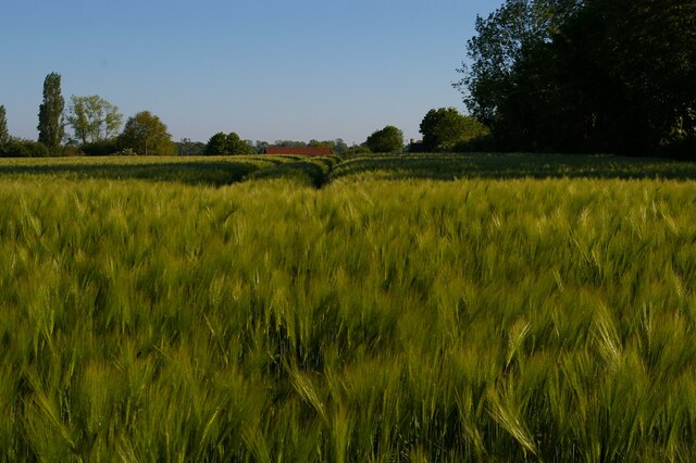
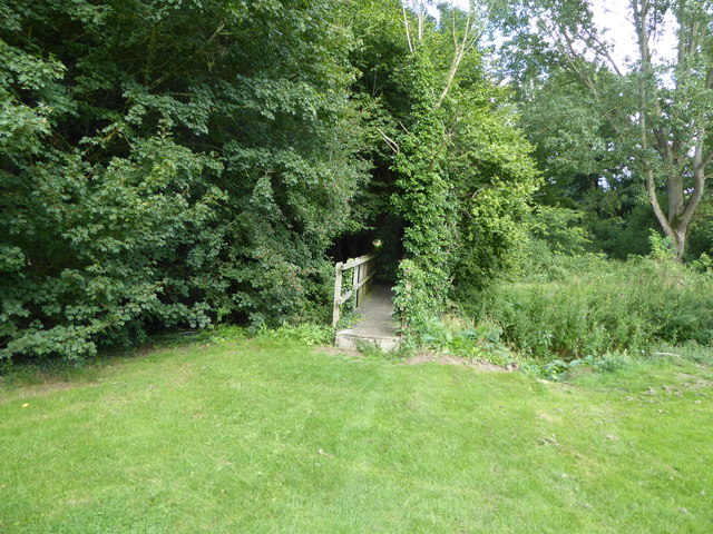
Riverside Covert is a picturesque woodland located in Suffolk County, England. Situated on the banks of the River Waveney, this tranquil oasis is part of the larger Suffolk Woodland Forest. Spanning over a vast area, Riverside Covert is known for its diverse flora and fauna, making it a popular destination for nature enthusiasts and wildlife lovers.
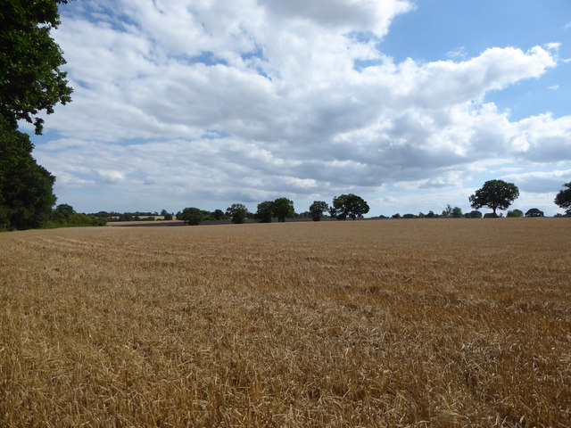
The woodland is characterized by a mix of deciduous and coniferous trees, creating a rich tapestry of colors throughout the year. Oak, beech, and pine trees dominate the landscape, providing a dense canopy that filters sunlight and creates a cool, shaded environment. The forest floor is adorned with a variety of wildflowers, ferns, and mosses, adding to the enchanting ambiance of the area.
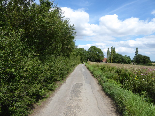
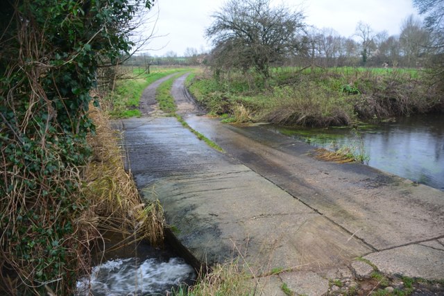
The River Waveney meanders through the covert, offering visitors the opportunity to enjoy scenic walks along its banks. The river is home to a range of aquatic life, including trout and freshwater mussels, making it a popular spot for fishing and wildlife observation.
Riverside Covert is also a haven for a wide array of bird species. Visitors may catch glimpses of woodpeckers, kingfishers, and owls in the treetops, while songbirds serenade from dawn till dusk. The woodland's diverse habitat also attracts mammals such as deer, badgers, and foxes, adding to the biodiversity of the area.
For those seeking a peaceful getaway, Riverside Covert provides a serene setting for relaxation and exploration. With its natural beauty, abundant wildlife, and scenic riverside walks, this woodland gem offers an escape from the hustle and bustle of everyday life.
If you have any feedback on the listing, please let us know in the comments section below.
Riverside Covert Images
Images are sourced within 2km of 52.198419/1.2510042 or Grid Reference TM2260. Thanks to Geograph Open Source API. All images are credited.


Riverside Covert is located at Grid Ref: TM2260 (Lat: 52.198419, Lng: 1.2510042)
Administrative County: Suffolk
District: Mid Suffolk
Police Authority: Suffolk
What 3 Words
///roses.scoop.dictation. Near Debenham, Suffolk
Nearby Locations
Related Wikis

East Suffolk (county)
East Suffolk, along with West Suffolk, was created in 1888 as an administrative county of England. The administrative county was based on the eastern quarter...

Cretingham
Cretingham is a village and a civil parish in the East Suffolk district, in the English county of Suffolk. It is on the River Deben, 2 miles south off...

Earl Soham
Earl Soham is a small settlement in Suffolk, England. It is on the A1120 road and is 4 kilometres (2 mi) west of the town of Framlingham. Earl Soham once...

Brandeston Hall
Brandeston Hall is a grade II* listed house in Old Maids Lane, Brandeston, Suffolk, England.The Hall is the former manor house of Brandeston but is now...
Have you been to Riverside Covert?
Leave your review of Riverside Covert below (or comments, questions and feedback).