Beckett's Plantation
Wood, Forest in Norfolk North Norfolk
England
Beckett's Plantation

Beckett's Plantation, located in Norfolk, is a sprawling woodland area known for its rich history and natural beauty. This plantation, also referred to as Beckett's Wood or Beckett's Forest, covers a vast expanse of land and is home to a diverse range of flora and fauna.
The plantation is believed to have been established in the early 17th century and has since been passed down through generations. It was originally used for timber production and hunting, as evidenced by the presence of old hunting lodges and game reserves. Over the years, Beckett's Plantation has evolved into a popular recreational area for locals and tourists alike.
The woodland is characterized by its dense canopy of trees, predominantly consisting of oak, beech, and pine varieties. These trees provide a habitat for a wide range of wildlife, including various bird species, deer, foxes, and squirrels. The plantation is also home to several walking trails, allowing visitors to explore the natural beauty of the area.
Beckett's Plantation offers a peaceful and tranquil environment, making it an ideal destination for nature enthusiasts and those seeking an escape from the hustle and bustle of city life. The plantation is well-maintained, with designated picnic areas and benches scattered throughout the woodland, providing visitors with an opportunity to relax and enjoy the serene surroundings.
Overall, Beckett's Plantation in Norfolk is a picturesque and historically significant woodland area, offering a beautiful natural landscape and a glimpse into the region's past.
If you have any feedback on the listing, please let us know in the comments section below.
Beckett's Plantation Images
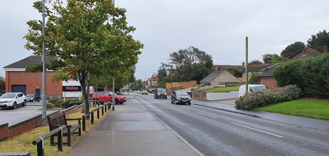
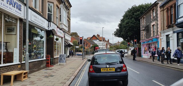
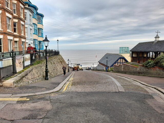
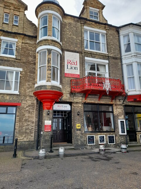
Images are sourced within 2km of 52.913706/1.3028432 or Grid Reference TG2240. Thanks to Geograph Open Source API. All images are credited.


Beckett's Plantation is located at Grid Ref: TG2240 (Lat: 52.913706, Lng: 1.3028432)
Administrative County: Norfolk
District: North Norfolk
Police Authority: Norfolk
What 3 Words
///bunch.nutty.prospers. Near Cromer, Norfolk
Nearby Locations
Related Wikis
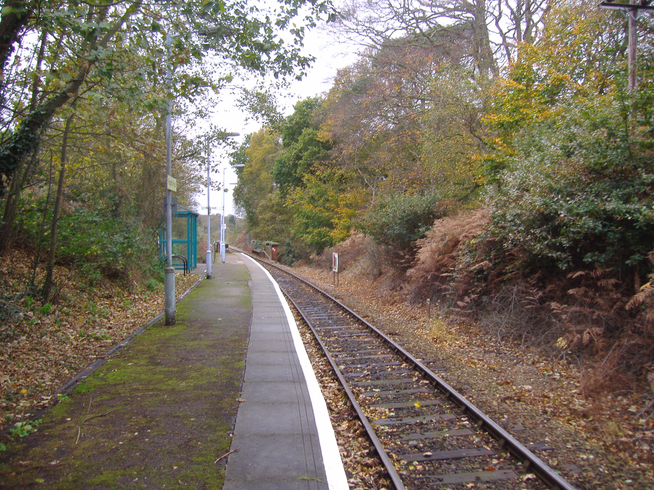
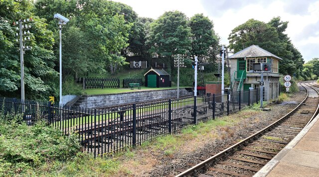
Roughton Road railway station
Roughton Road railway station is on the Bittern Line in Norfolk, England, on the outskirts of the town of Cromer. It takes its name from the street on...
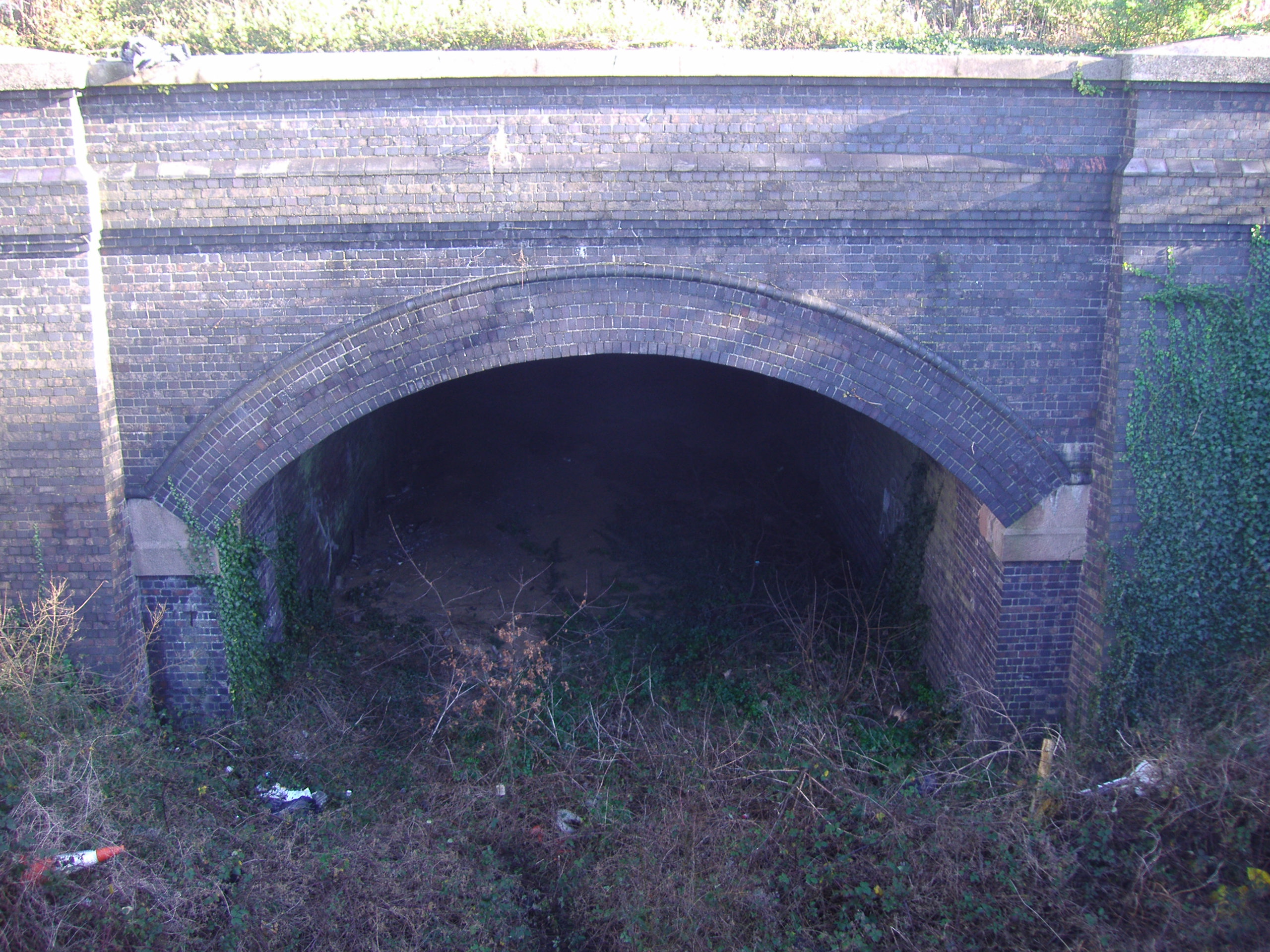
Cromer Tunnel
The Cromer Tunnel was built by the Norfolk and Suffolk Joint Railway to take their Cromer Beach to Mundesley line under the Great Eastern's Cromer High...

Cromer Academy
Cromer Academy (formerly Cromer High School, Sports College, Cromer Institute of Science) is a 11- 16 secondary school with academy status in Cromer, Norfolk...

Cromer Town F.C.
Cromer Town Football Club is a football club based in Cromer, Norfolk. Established in 1997 by a merger of Cromer Town and Madra United, they are currently...

Cromer Hospital
Cromer and District Hospital (formerly known as Cromer Cottage Hospital) opened in 1932 in the suburb of Suffield Park in the town of Cromer within the...

Cromer Lighthouse
Cromer Lighthouse is situated in the coastal town of Cromer, in the English county of Norfolk. == History == There has been a lighthouse on the cliff top...
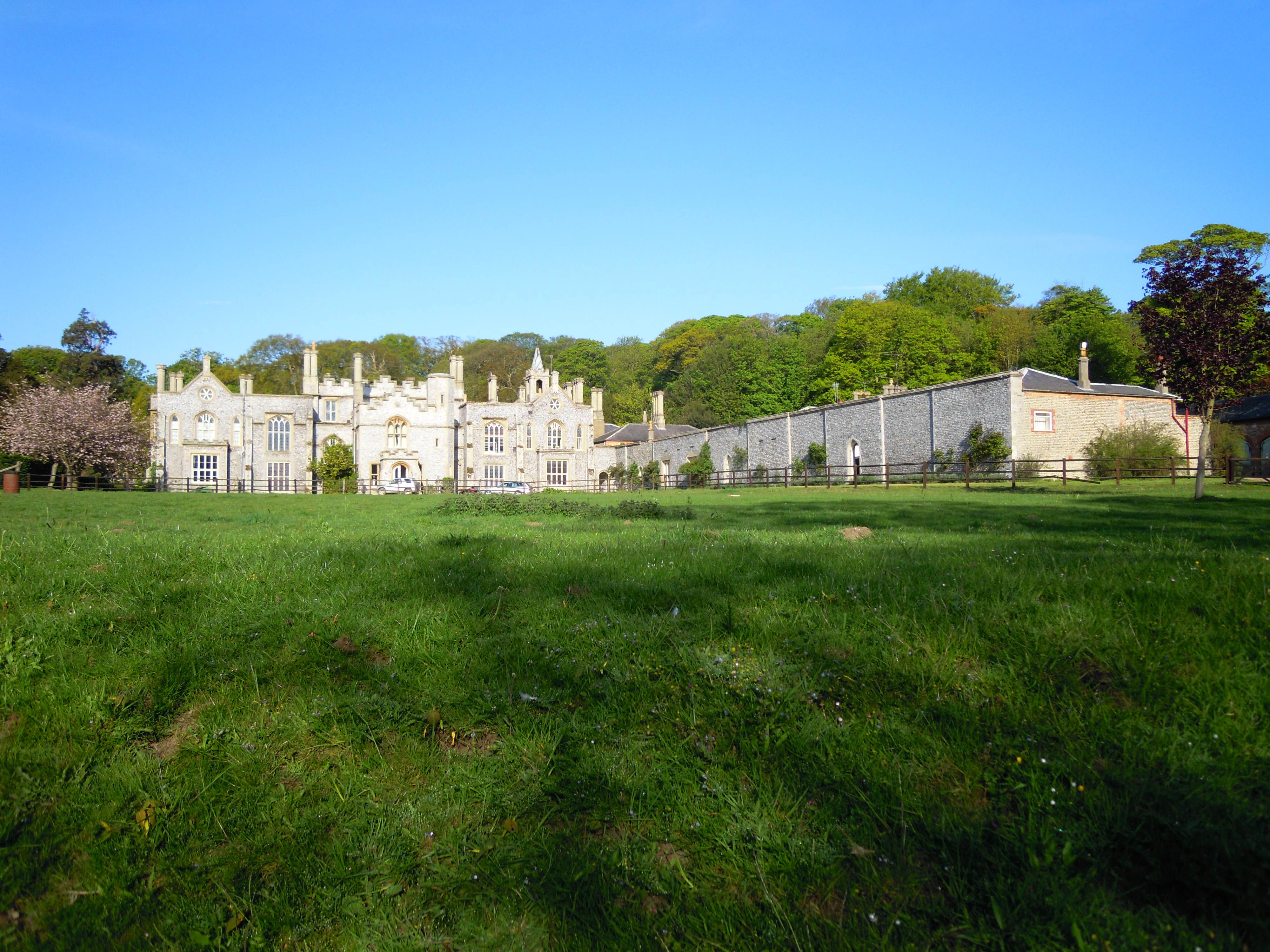
Cromer Hall
Cromer Hall is a country house located one mile south of Cromer on Holt Road, in the English county of Norfolk. The present house was built in 1829 by...

Felbrigg
Felbrigg is a village and civil parish in the English county of Norfolk. The village is 1.7 miles (2.7 km) south-west of Cromer and 20 miles (32 km) north...
Nearby Amenities
Located within 500m of 52.913706,1.3028432Have you been to Beckett's Plantation?
Leave your review of Beckett's Plantation below (or comments, questions and feedback).