Woodlands Wood
Wood, Forest in Kent Canterbury
England
Woodlands Wood
Woodlands Wood, also known as Wood, Forest, is a picturesque and expansive woodland located in the county of Kent in southeastern England. Covering an area of approximately 200 acres, this ancient woodland is a popular destination for nature enthusiasts, hikers, and those seeking a peaceful retreat.
The wood is predominantly composed of broadleaf trees, including oak, beech, and ash, which provide a diverse and vibrant ecosystem for a wide range of flora and fauna. The forest floor is carpeted with bluebells in the spring, creating a stunning display of color and attracting many visitors.
Woodlands Wood is intersected by numerous footpaths and trails that meander through the dense foliage, offering visitors the opportunity to explore the woodland at their own pace. These paths are well-maintained and provide access to the various features of the wood, including a small pond and a stream that runs through the heart of the forest.
The wood is home to a variety of wildlife, including deer, badgers, foxes, and a wide range of bird species. Birdwatchers will be delighted by the opportunity to spot woodland birds such as woodpeckers, owls, and various songbirds.
Woodlands Wood is easily accessible by car, with ample parking available nearby. It also offers picnic areas and benches for visitors to relax and enjoy the natural surroundings. In addition, there is a visitor center that provides information about the woodland, its history, and the various species that reside within it.
Overall, Woodlands Wood in Kent is a tranquil and enchanting woodland that provides a haven for both nature lovers and those seeking solace in the beauty of the natural world.
If you have any feedback on the listing, please let us know in the comments section below.
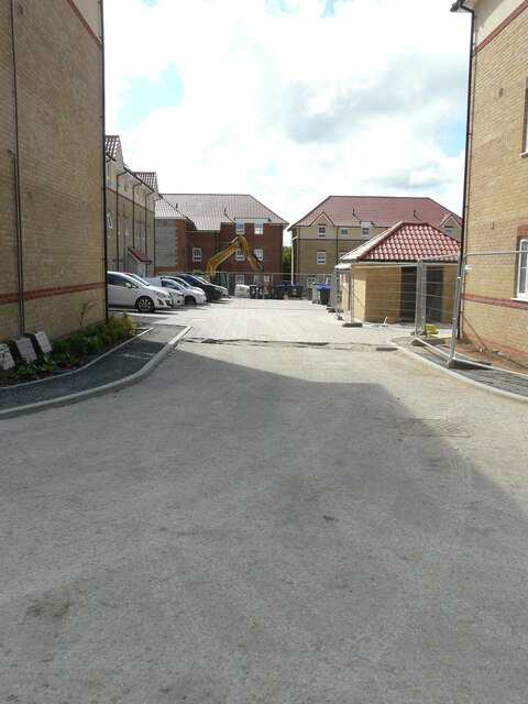
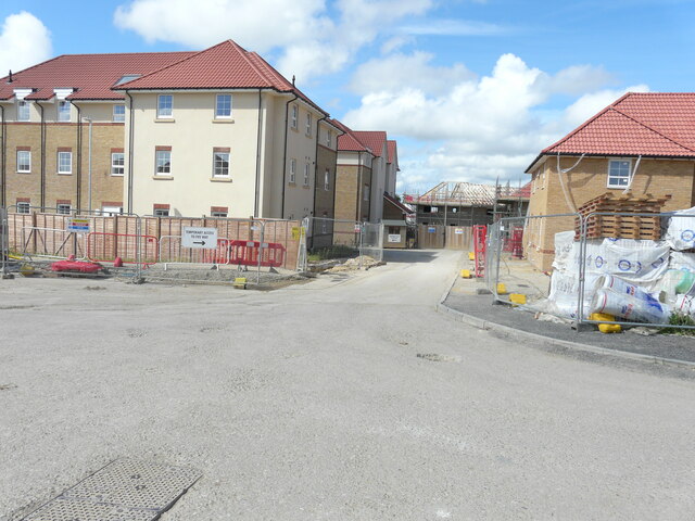
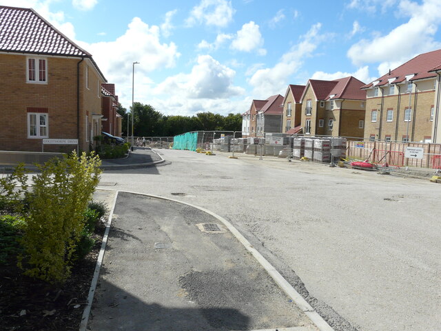
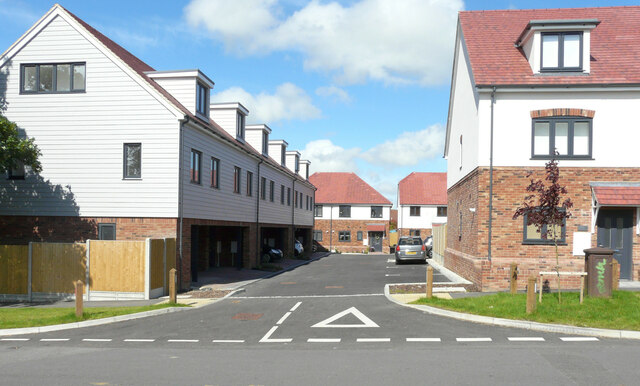
Woodlands Wood Images
Images are sourced within 2km of 51.229405/1.1750906 or Grid Reference TR2152. Thanks to Geograph Open Source API. All images are credited.

Woodlands Wood is located at Grid Ref: TR2152 (Lat: 51.229405, Lng: 1.1750906)
Administrative County: Kent
District: Canterbury
Police Authority: Kent
What 3 Words
///kilt.leaky.nerve. Near Aylesham, Kent
Nearby Locations
Related Wikis

Ileden and Oxenden Woods
Ileden and Oxenden Woods is an 86.4-hectare (213-acre) biological Site of Special Scientific Interest (SSSI) south-east of Canterbury in Kent. It is in...
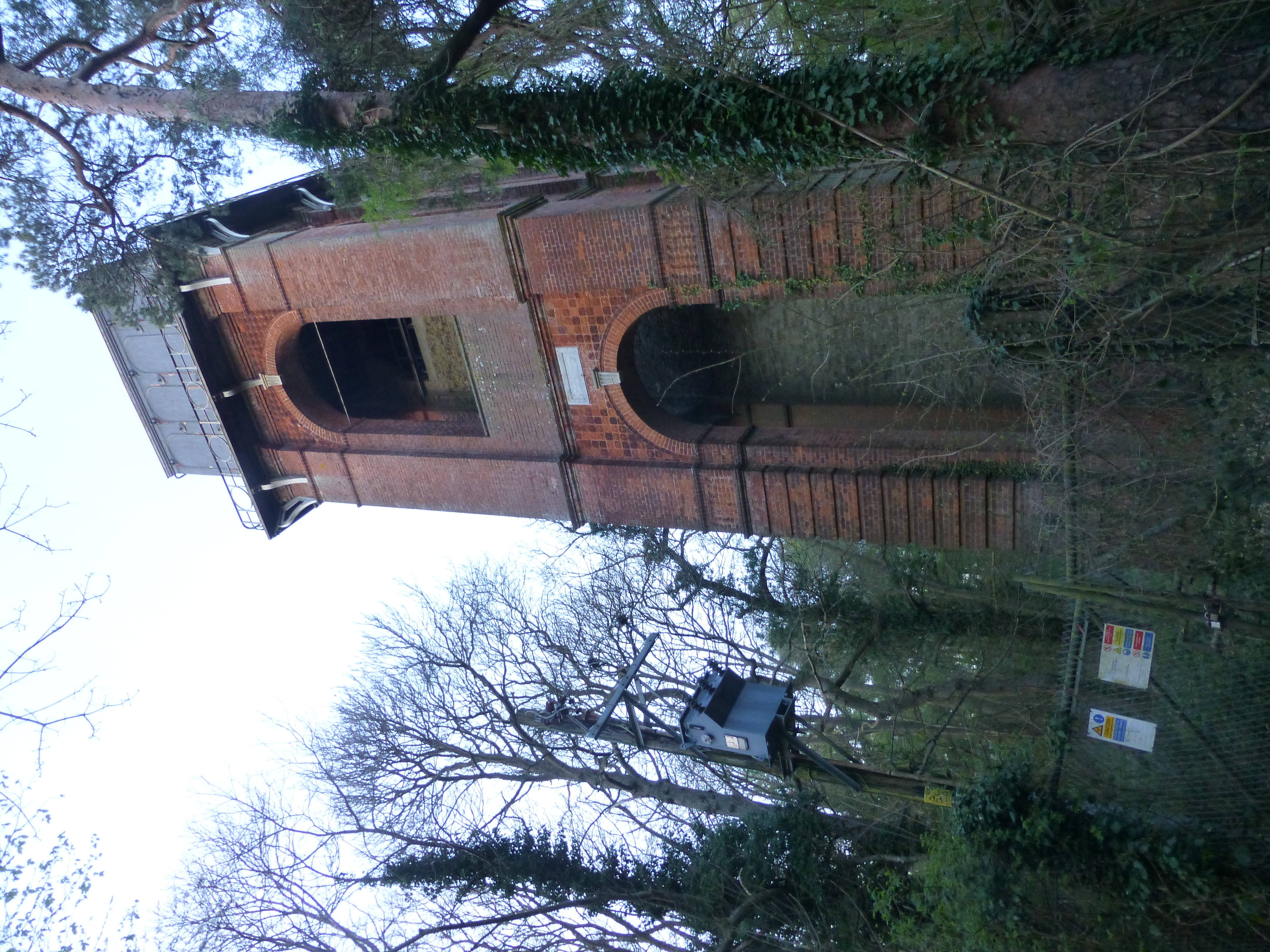
Adisham Water Tower
Adisham Water Tower is a Grade II listed building located in the parish of Adisham, Kent. The structure was built in 1903 in an Edwardian Italianate Revival...

Black Mill, Barham
Black Mill or Barham Downs Mill was a smock mill at Barham, Kent, England which was accidentally burnt down in 1970 while under restoration. == History... ==

Adisham
Adisham (formerly Adesham) is a village and civil parish in the English county of Kent. It is twinned with Campagne-lès-Hesdin in France. == Geography... ==

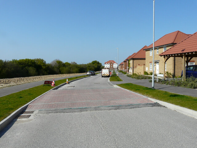
Aylesham
Aylesham is a village and civil parish in the Dover district of Kent, England. The village is 6.5 miles (10.5 km) southeast of the cathedral city of Canterbury...
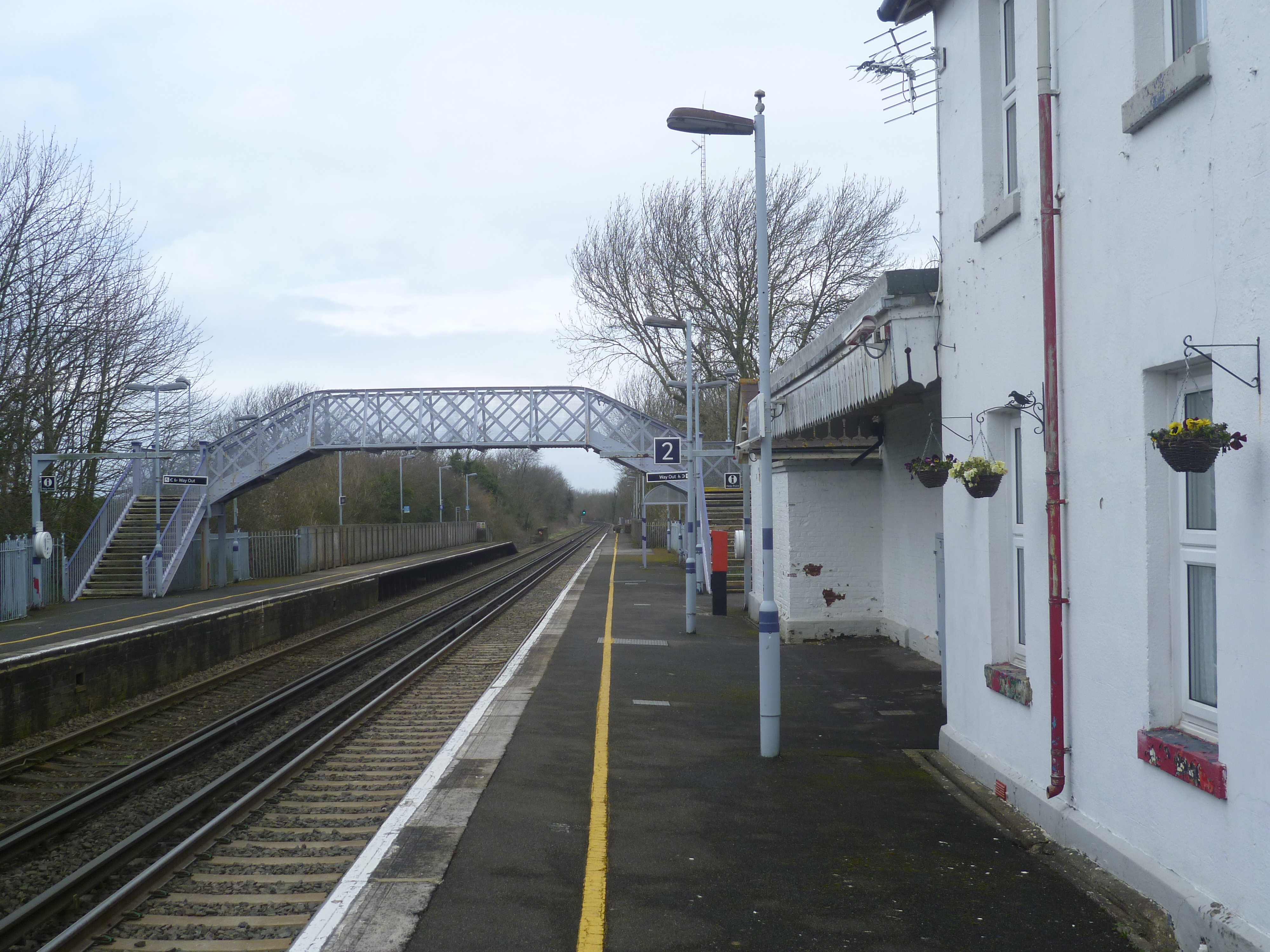
Adisham railway station
Adisham railway station is on the Dover branch of the Chatham Main Line in England, and serves the village of Adisham, Kent. It is 67 miles 60 chains...
Womenswold
Womenswold is a village and civil parish centred 7 miles (11 km) south-east of Canterbury, Kent, England, 1 mile to the east of the A2 road. The parish...
Kingston, Kent
Kingston is a village and civil parish between Canterbury and Dover in Kent, South East England. The parish contains the hamlet of Marley. == History... ==
Nearby Amenities
Located within 500m of 51.229405,1.1750906Have you been to Woodlands Wood?
Leave your review of Woodlands Wood below (or comments, questions and feedback).