Burrell's Belt
Wood, Forest in Norfolk Broadland
England
Burrell's Belt
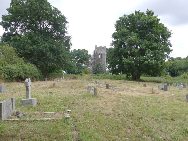
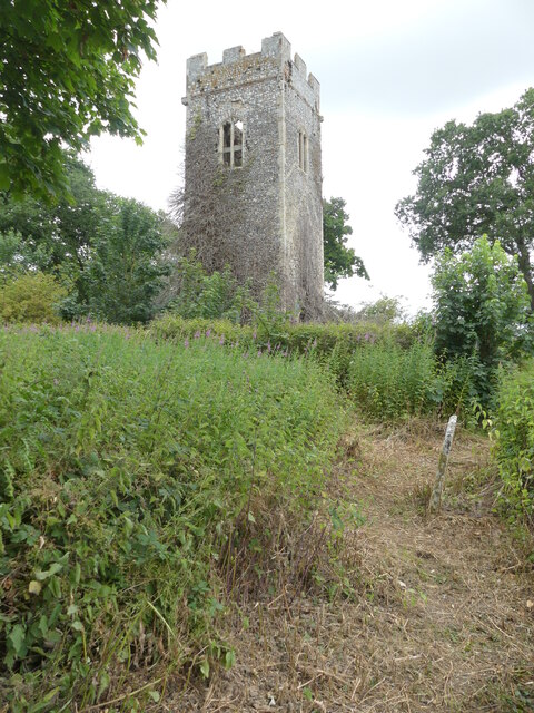
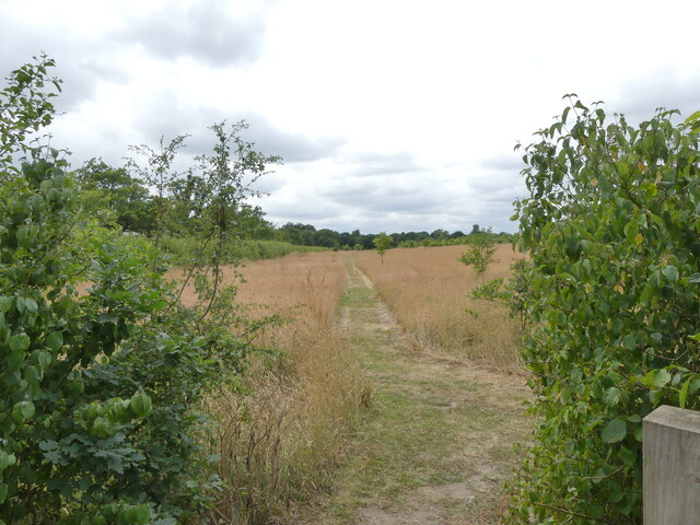
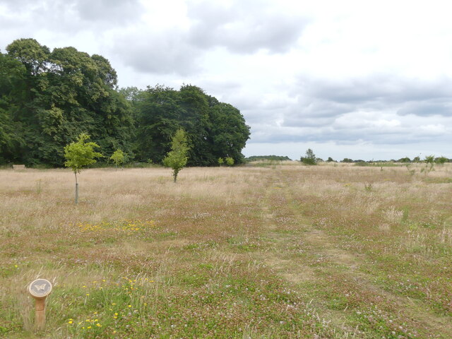
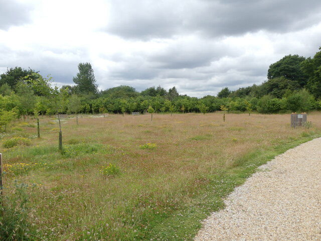
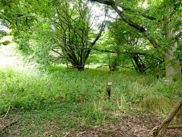
Burrell's Belt, located in Norfolk, is a beautiful and well-preserved wood or forest area that covers a significant area of land. The belt stretches across rolling hills and valleys, providing stunning panoramic views of the surrounding countryside. It is named after its former owner, Sir William Burrell, who played a crucial role in preserving this natural habitat.
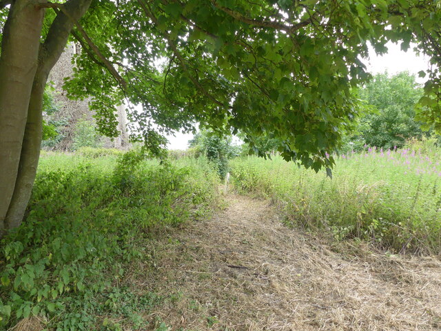
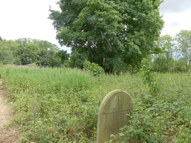
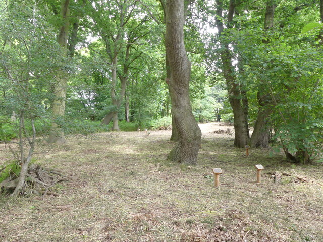
The woodland in Burrell's Belt is home to a diverse range of flora and fauna, making it a haven for nature enthusiasts and wildlife enthusiasts alike. The trees in the forest include a mix of deciduous and evergreen varieties, creating a delightful blend of colors throughout the seasons. The forest floor is covered in a thick carpet of mosses, ferns, and wildflowers, adding to the enchanting atmosphere.
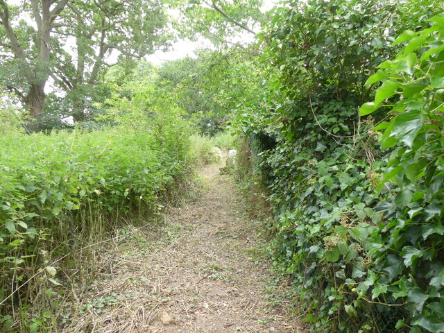
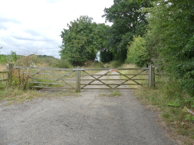
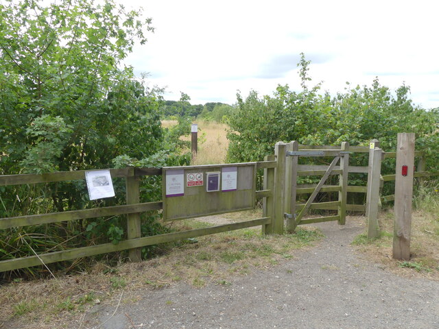
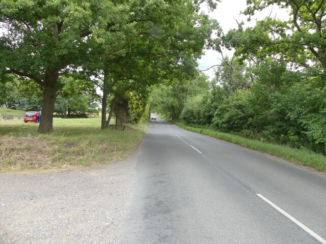
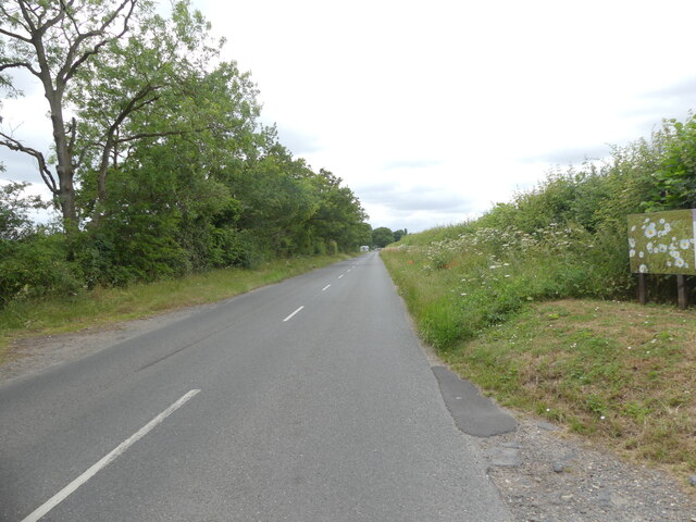
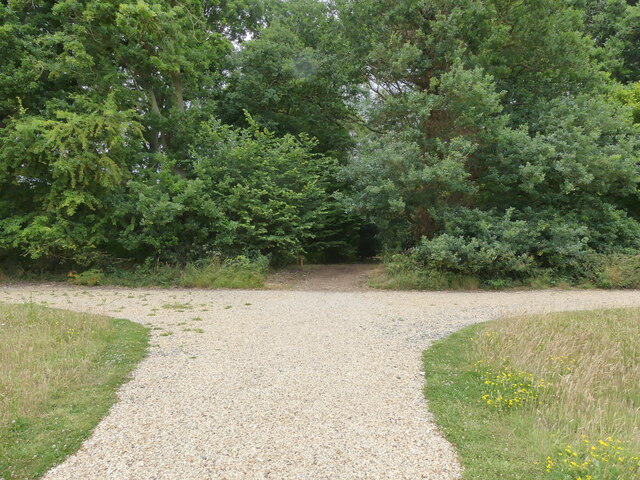
Numerous trails and paths wind through Burrell's Belt, allowing visitors to explore the forest at their own pace. Hiking or walking along these trails is a popular activity, offering an opportunity to immerse oneself in the tranquil surroundings and observe the wildlife that calls this forest home. Birdwatchers can spot various species of birds, including woodpeckers, owls, and thrushes.
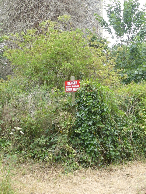
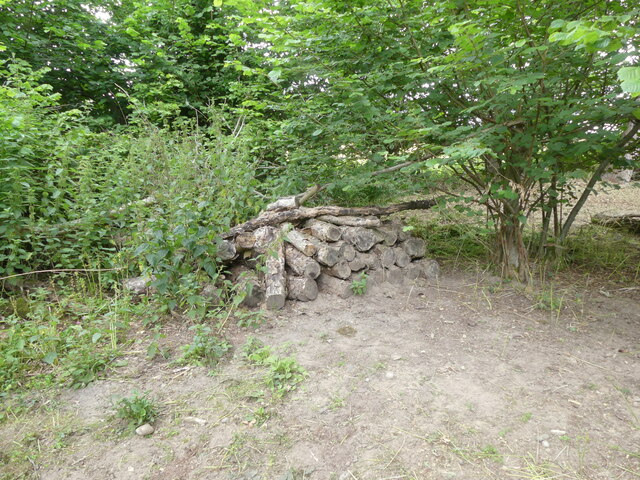
Burrell's Belt is not only a haven for nature but also an important conservation site. Efforts are made to protect and preserve the woodland, ensuring that it remains a thriving ecosystem for generations to come. The wood is managed sustainably, with selective tree felling and replanting to maintain the balance of the forest.
Whether one seeks solitude in nature or wishes to embark on an outdoor adventure, Burrell's Belt provides a truly captivating experience for visitors, showcasing the natural beauty of Norfolk's woodlands.
If you have any feedback on the listing, please let us know in the comments section below.
Burrell's Belt Images
Images are sourced within 2km of 52.725095/1.2759843 or Grid Reference TG2119. Thanks to Geograph Open Source API. All images are credited.
Burrell's Belt is located at Grid Ref: TG2119 (Lat: 52.725095, Lng: 1.2759843)
Administrative County: Norfolk
District: Broadland
Police Authority: Norfolk
What 3 Words
///bluffing.prove.molars. Near Buxton, Norfolk
Nearby Locations
Related Wikis

Hainford
Hainford (originally Haynford) is a village and civil parish in the English county of Norfolk. It covers an area of 6.94 km2 (2.68 sq mi) and had a population...

Stratton Strawless
Stratton Strawless is a village in the county of Norfolk and district of Broadland. The civil parish covers 714 acres (289 ha) and has a population of...

St Faith's and Aylsham Rural District
St Faith's and Aylsham Rural Districts were adjacent rural districts in Norfolk, England from 1894 to 1935. They were formed under the Local Government...

Hevingham
Hevingham is a village and civil parish in the Broadland district of the English county of Norfolk. Situated between the A140 road Norwich to Cromer road...
Nearby Amenities
Located within 500m of 52.725095,1.2759843Have you been to Burrell's Belt?
Leave your review of Burrell's Belt below (or comments, questions and feedback).