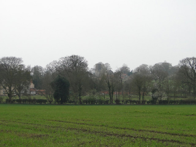
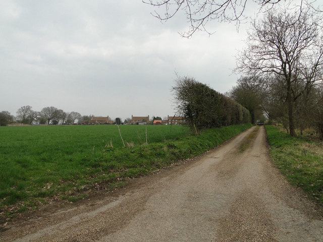
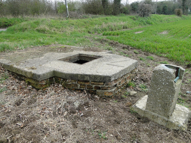
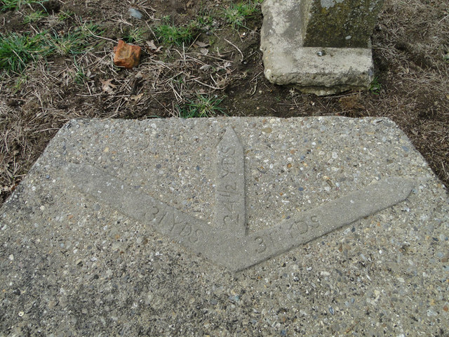
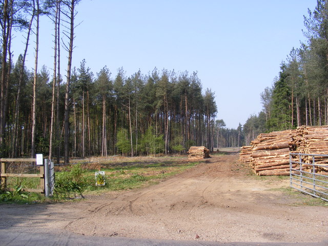
Broom Covert

Wood, Forest in Norfolk Broadland

England

Broom Covert

Queuing traffic at roadworks on the A140
Queuing traffic at roadworks on the A140 Credit: Helen Steed

The requested URL returned error: 429 Too Many Requests

If you have any feedback on the listing, please let us know in the comments section below.
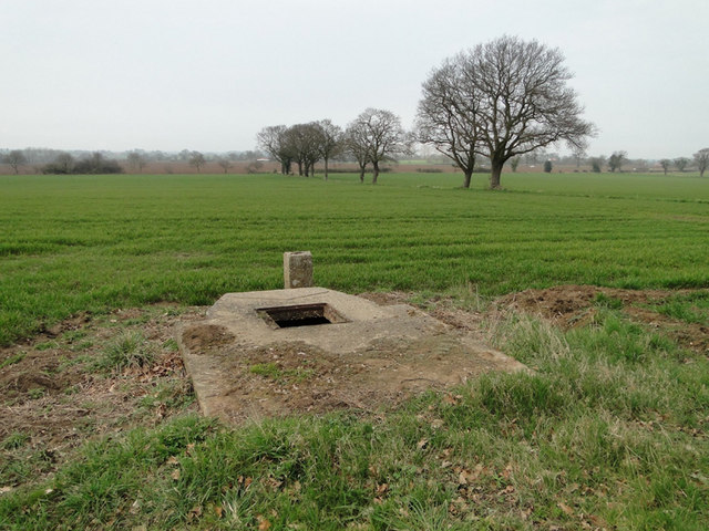
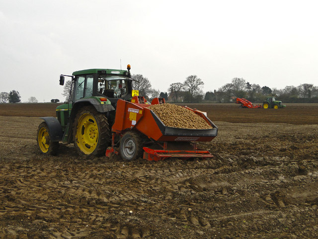
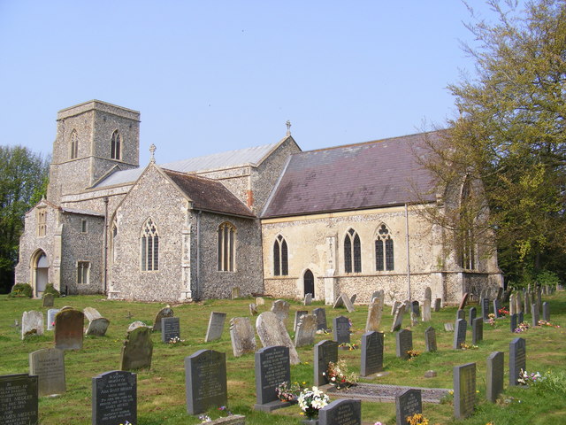
Broom Covert Images

Images are sourced within 2km of 52.748229/1.2722965 or Grid Reference TG2021. Thanks to Geograph Open Source API. All images are credited.

Queuing traffic at roadworks on the A140
Mill Road, Marsham Although Mill House is still standing and occupied the mill referred to has long gone.
Mill Road, Marsham
Although Mill House is still standing and occupied the mill referred to has long gone.
'Dead Nettles' beside Mill Road, Marsham Red dead nettle; Lamium purpureum
'Dead Nettles' beside Mill Road, Marsham
Red dead nettle; Lamium purpureum
Field of winter wheat, with Marsham church behind the trees
Housing off Mill Road, Marsham
Manhole for an irrigation pump On the concrete pad is the plan for the irrigation outlets which can be seen here > <a href="https://www.geograph.org.uk/photo/2329748">TG2123 : Plan of irrigation outlets cemented onto the top of the pump</a>
Manhole for an irrigation pump
On the concrete pad is the plan for the irrigation outlets which can be seen here > TG2123 : Plan of irrigation outlets cemented onto the top of the pump
Plan of irrigation outlets cemented onto the top of the pump For a full view goto > <a title="https://www.geograph.org.uk/photo/2329742" href="https://www.geograph.org.uk/photo/2329742">Link</a>
Plan of irrigation outlets cemented onto the top of the pump
For a full view goto > Link
Irrigation manhole on the edge of the field See also <a href="https://www.geograph.org.uk/photo/2329748">TG2123 : Plan of irrigation outlets cemented onto the top of the pump</a>
Irrigation manhole on the edge of the field
Potato planting at Oxnead The hopper on the tractor is full of potatoes ready for planting while the tractor in the background is putting a fine tilth on the soil and creating the rows.
Potato planting at Oxnead
The hopper on the tractor is full of potatoes ready for planting while the tractor in the background is putting a fine tilth on the soil and creating the rows.
St.Botolph's Church, Hevingham Off the A140 Cromer Road
St.Botolph's Church, Hevingham
Off the A140 Cromer Road
St.Botolph's Church, Hevingham Off the A140 Cromer Road
St.Botolph's Church, Hevingham
Off the A140 Cromer Road
St.Botolph's Church, Hevingham Notice Board Off the A140 Cromer Road
St.Botolph's Church, Hevingham Notice Board
Off the A140 Cromer Road
A140 Cromer Road Looking towards Marsham
A140 Cromer Road
Looking towards Marsham
A140 Cromer Road Looking towards Stratton Strawless
A140 Cromer Road
Looking towards Stratton Strawless
The entrance to The Old Rectory Special Needs Home Off the A140 Cromer Road
The entrance to The Old Rectory Special Needs Home
Off the A140 Cromer Road
Short - Thorn Road At the junction with the A140 Cromer Road
Short - Thorn Road
At the junction with the A140 Cromer Road
Mansom Plantation Off Short Thorn Road
Mansom Plantation
Off Short Thorn Road
Short-Thorn Road Looking towards Short Thorn and the B1149 Holt Road, near Mansom Plantation
Short-Thorn Road
Looking towards Short Thorn and the B1149 Holt Road, near Mansom Plantation
Show me another place!

Broom Covert is located at Grid Ref: TG2021 (Lat: 52.748229, Lng: 1.2722965)

Administrative County: Norfolk

District: Broadland

Police Authority: Norfolk

What 3 Words

///cheerily.confident.lucky. Near Buxton, Norfolk

Nearby Locations

Broom Covert

Related Wikis

Hevingham

Hevingham is a village and civil parish in the Broadland district of the English county of Norfolk. Situated between the A140 road Norwich to Cromer road...

St Faith's and Aylsham Rural District

St Faith's and Aylsham Rural Districts were adjacent rural districts in Norfolk, England from 1894 to 1935.They were formed under the Local Government...

Brampton, Norfolk

Brampton is a small village and parish in the county of Norfolk, England, in the Bure Valley, east of Aylsham. == History == Brampton was the subject of...

Stratton Strawless

Stratton Strawless is a village in the county of Norfolk and district of Broadland. The civil parish covers 714 acres (289 ha) and has a population of...

Nearby Amenities

Located within 500m of 52.748229,1.2722965
Barrier: stile
Bicycle: no
Foot: yes
Material: wood
Stile: stepover
Lat/Long: 52.7483387/1.2755755
Barrier: stile
Bicycle: no
Foot: yes
Material: wood
Stile: stepover
Lat/Long: 52.7464326/1.2763801
Description: Uninscribed possible boundary marker
Historic: stone
Inscription: no
Material: granite_stone
Lat/Long: 52.7483226/1.2755002
The data included in this document is from www.openstreetmap.org. The data is made available under ODbL.

Have you been to Broom Covert?

Leave your review of Broom Covert below (or comments, questions and feedback).