Low Wood
Wood, Forest in Norfolk South Norfolk
England
Low Wood
Low Wood is a charming woodland located in Norfolk, England. It is nestled in the heart of the county, offering a tranquil retreat for nature lovers and outdoor enthusiasts alike. The wood is part of a larger forested area known as Norfolk Forests, which spans across several thousand acres.
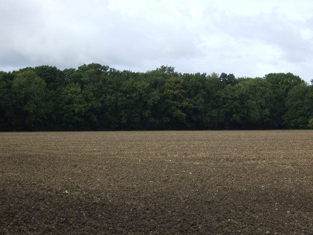
Low Wood is characterized by its diverse range of trees, including oak, beech, and pine, creating a dense and enchanting canopy. The woodland floor is adorned with an array of wildflowers, adding bursts of color to the landscape. The forest is also home to a variety of wildlife, making it a haven for birdwatchers and photographers.
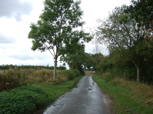
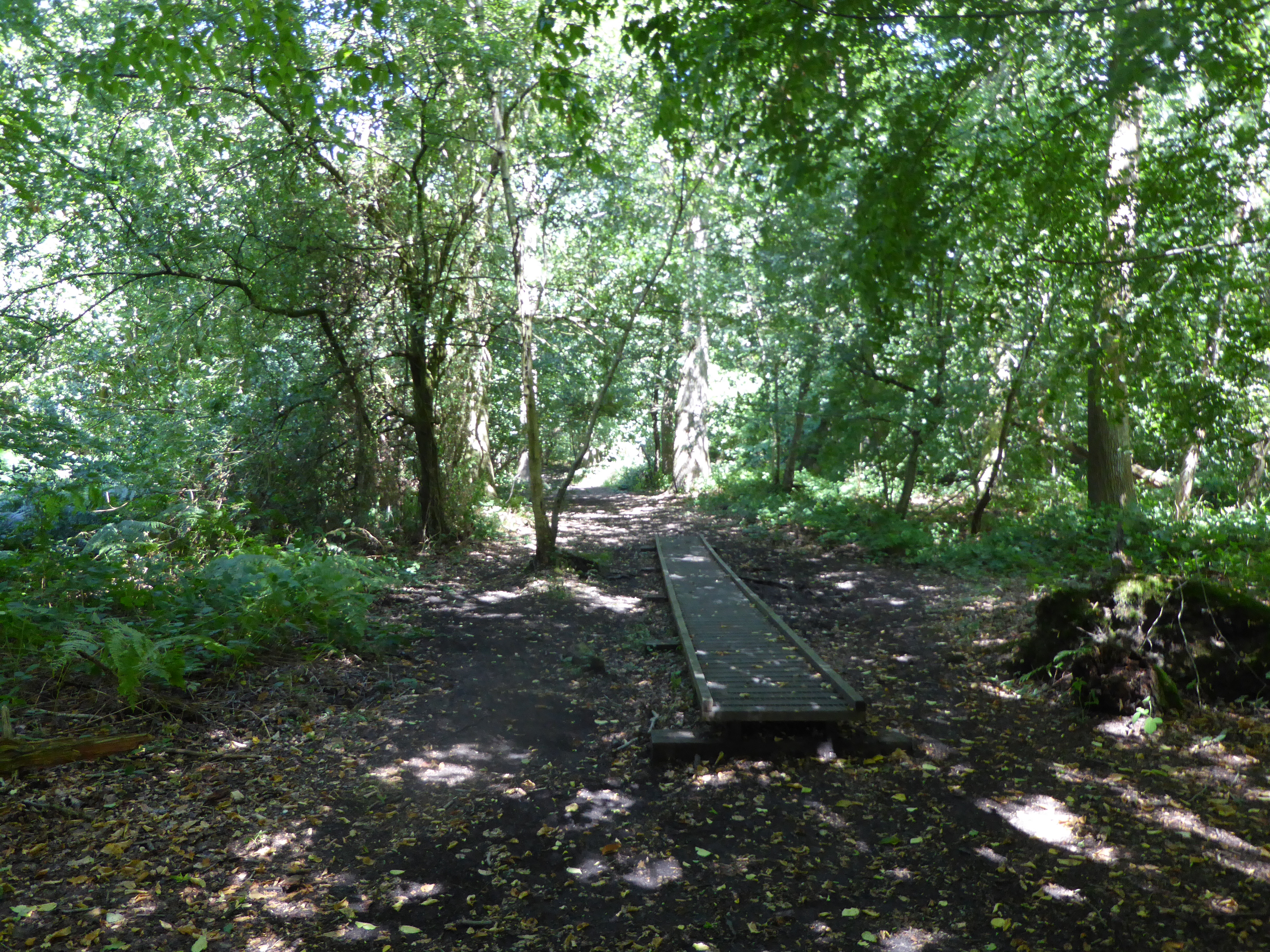
The wood features a network of well-marked trails that wind through its lush surroundings, making it an ideal location for leisurely walks and hikes. These trails cater to all levels of fitness, allowing visitors to explore the wood at their own pace. For those seeking a more immersive experience, camping facilities are available, providing an opportunity to spend a night under the stars in a serene setting.
Low Wood is conveniently located near several picturesque villages, making it an excellent base for exploring the surrounding countryside. The nearby market town of Aylsham offers a range of amenities, including quaint shops, cozy pubs, and charming cafes. Additionally, the coastal town of Cromer is just a short drive away, offering stunning sandy beaches and a bustling pier.
Overall, Low Wood in Norfolk is a beautiful and peaceful woodland, offering visitors the chance to escape the noise of urban life and immerse themselves in the natural beauty of the English countryside.
If you have any feedback on the listing, please let us know in the comments section below.
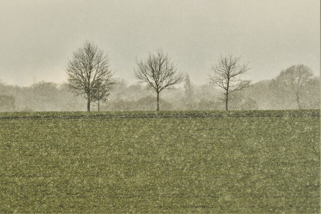
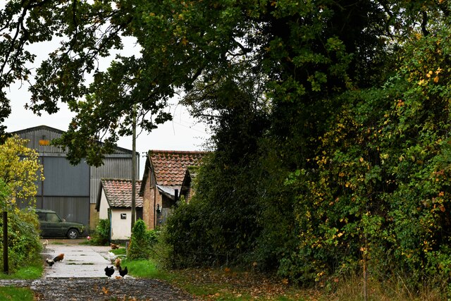
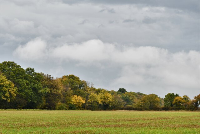
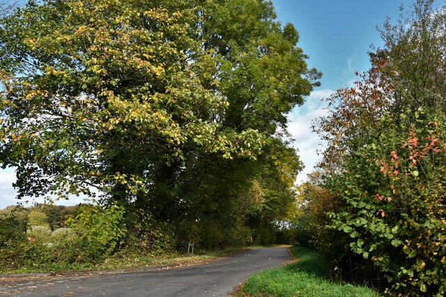
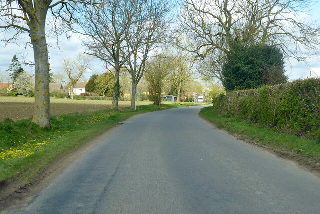
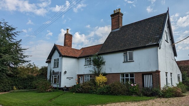
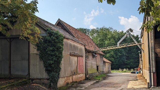
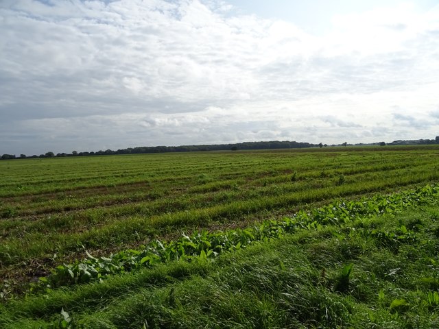
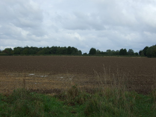
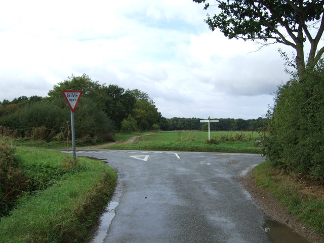
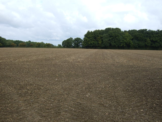
Low Wood Images
Images are sourced within 2km of 52.464037/1.2469513 or Grid Reference TM2090. Thanks to Geograph Open Source API. All images are credited.


Low Wood is located at Grid Ref: TM2090 (Lat: 52.464037, Lng: 1.2469513)
Administrative County: Norfolk
District: South Norfolk
Police Authority: Norfolk
What 3 Words
///whizzing.bookcases.surface. Near Long Stratton, Norfolk
Nearby Locations
Related Wikis
Pulham Market Big Wood
Pulham Market Big Wood is a 4.7-hectare (12-acre) biological Site of Special Scientific Interest south of Long Stratton in Norfolk. This ancient coppice...

Shelton and Hardwick
Shelton and Hardwick is a civil parish in South Norfolk, England, made up of the villages of Shelton and Hardwick. It lies about 3 km south-east of Long...
Manor Farm, Pulham Market
Manor Farm, a property of the Landmark Trust, is at Pulham Market near the town of Diss, in Norfolk, England. The house is a Grade II listed building....

Shelton Hall (Norfolk)
Shelton Hall is a large estate in the village of Shelton, Norfolk, England. The estate has around 72 acres (290,000 m2) of surrounding fields, the names...
Nearby Amenities
Located within 500m of 52.464037,1.2469513Have you been to Low Wood?
Leave your review of Low Wood below (or comments, questions and feedback).