Aylsham Wood

Wood, Forest in Norfolk North Norfolk

England

Aylsham Wood

St Lawrence's church, Ingworth
St Lawrence's church, Ingworth Credit: Helen Steed

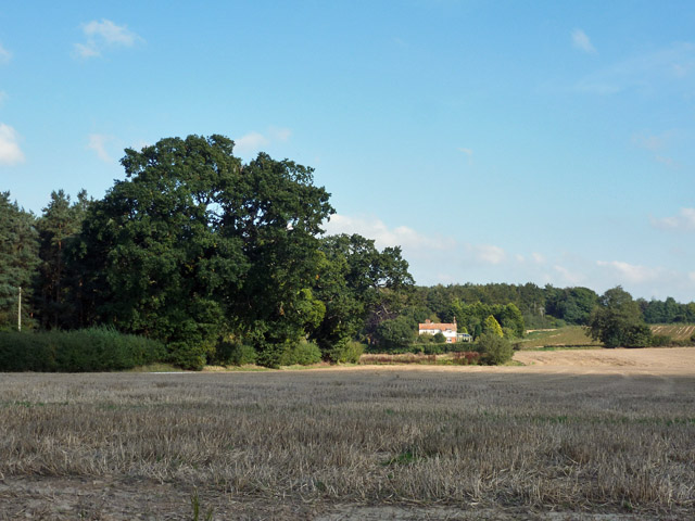
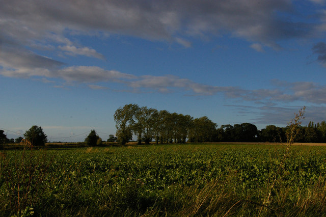
Aylsham Wood is a picturesque forest located in Norfolk, England. It covers an area of approximately 100 hectares and is known for its rich biodiversity and stunning natural beauty. The woodland is situated on the outskirts of the town of Aylsham and is surrounded by rolling hills and open countryside.

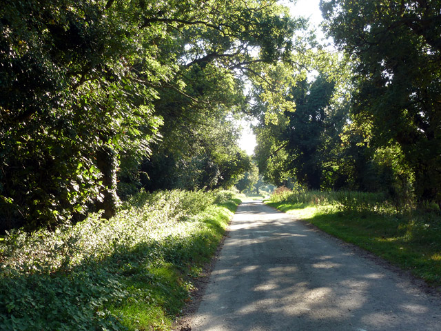
Aylsham Wood is primarily composed of broadleaf trees, including oak, beech, and birch. These trees provide a dense canopy that shades the forest floor, creating a cool and tranquil atmosphere. The woodland is also home to a variety of wildlife, including deer, foxes, and a wide range of bird species.

Visitors to Aylsham Wood can enjoy a network of well-maintained walking trails that wind through the forest, allowing them to explore its hidden corners and discover its natural wonders. These trails are suitable for all ages and abilities, and there are also designated picnic areas where visitors can take a break and enjoy a meal amidst the peaceful surroundings.

The forest is managed by local authorities, who work diligently to preserve its natural habitat and protect its wildlife. They also organize educational programs and guided tours to raise awareness about the importance of conservation and the unique ecosystem found within Aylsham Wood.

Aylsham Wood is a popular destination for nature enthusiasts, hikers, and families looking to escape the hustle and bustle of urban life. With its serene atmosphere, diverse flora and fauna, and well-maintained trails, it offers a truly immersive experience in the heart of Norfolk's countryside.

If you have any feedback on the listing, please let us know in the comments section below.
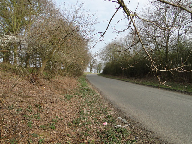
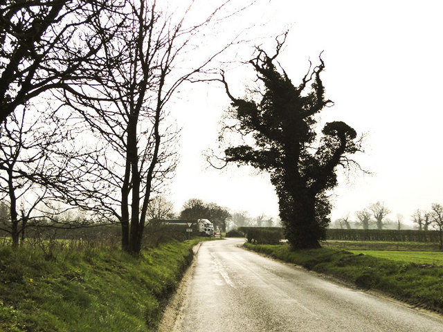
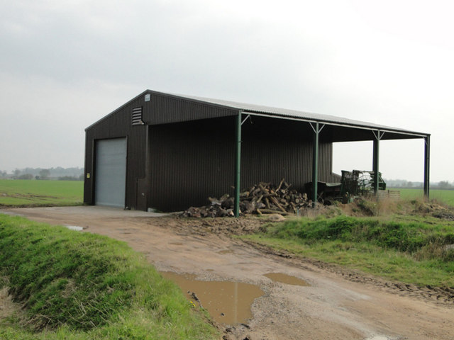
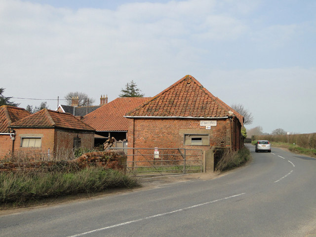
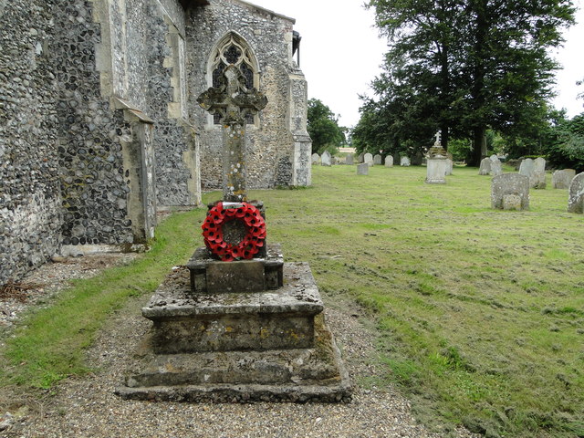
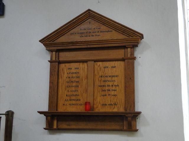
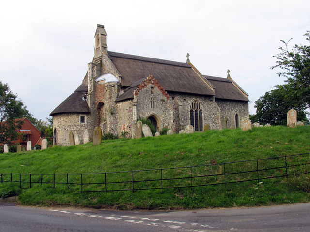
Aylsham Wood Images

Images are sourced within 2km of 52.819356/1.2714067 or Grid Reference TG2029. Thanks to Geograph Open Source API. All images are credited.

St Lawrence's church, Ingworth
Erpingham, St Mary
Erpingham, St Mary
Road to Banningham just off the A140
A140 junction from the B1145 north Walsham Road
Farm building at Church Farm, Banningham
Church Farm, Banningham
St Mary the Virgin, Erpingham See <span class="nowrap"><a title="http://www.norfolkchurches.co.uk/erpingham/erpingham.htm" rel="nofollow ugc noopener" href="http://www.norfolkchurches.co.uk/erpingham/erpingham.htm">Link</a><img style="margin-left:2px;" alt="External link" title="External link - shift click to open in new window" src="https://s1.geograph.org.uk/img/external.png" width="10" height="10"/></span> for more information.
St Mary the Virgin, Erpingham
See LinkExternal link for more information.
Drabblegate The name of the lane heading towards a small settlement also called Drabblegate.
Drabblegate
The name of the lane heading towards a small settlement also called Drabblegate.
View towards The Cottage Looking from Drabblegate towards a cottage on Banningham Road with Aylsham Wood beyond.
View towards The Cottage
Looking from Drabblegate towards a cottage on Banningham Road with Aylsham Wood beyond.
The Banningham Crown Across the road from the church, the perfect antidote for dry sermons.
The Banningham Crown
Across the road from the church, the perfect antidote for dry sermons.
View north across the fields towards Banningham
He went that-away A pointing finger on top of an obelisk seems a little presumptuous don't you think?
He went that-away
A pointing finger on top of an obelisk seems a little presumptuous don't you think?
Someone has put a sleeping draft in the water Motionless sheep huddled around a drinking trough.
Someone has put a sleeping draft in the water
Motionless sheep huddled around a drinking trough.
Banningham war memorial in the churchyard The memorial has lost half the names through flaking of the stone and erosion. The names have been badly transcribed to a wooden memorial in the church but there are some differences. the corrected names are: Ernest ALLEN, Rees James ATKINS, Alfred Ernest HOWARD, George NEWSTEAD, Herbert PARDEN, Frederick  William PLUME, Sidney Charles PLUME and E. Daisley SAYER.
Banningham war memorial in the churchyard
The memorial has lost half the names through flaking of the stone and erosion. The names have been badly transcribed to a wooden memorial in the church but there are some differences. the corrected names are: Ernest ALLEN, Rees James ATKINS, Alfred Ernest HOWARD, George NEWSTEAD, Herbert PARDEN, Frederick William PLUME, Sidney Charles PLUME and E. Daisley SAYER.
Banningham in-church War memorial The names have been incorrectly transcribed from the stone cross in the churchyard which is badly eroded.
The corrected names can be seen here > <a title="https://www.geograph.org.uk/photo/4600950" href="https://www.geograph.org.uk/photo/4600950">Link</a>
Banningham in-church War memorial
The names have been incorrectly transcribed from the stone cross in the churchyard which is badly eroded. The corrected names can be seen here > Link
Erpingham War Memorial Erpingham Memorial bears the names of eleven men lost in WW1 and of two lost in WW2.
Erpingham War Memorial
Erpingham Memorial bears the names of eleven men lost in WW1 and of two lost in WW2.
Discarded plastic bag and orange peel on the A140 Suffolk is running an anti-litter campaign called 'Don't be a Tosser' but one has been here in Norfolk.
Discarded plastic bag and orange peel on the A140
Suffolk is running an anti-litter campaign called 'Don't be a Tosser' but one has been here in Norfolk.
Metal field gate alongside the A140 near Banningham
Show me another place!

Aylsham Wood is located at Grid Ref: TG2029 (Lat: 52.819356, Lng: 1.2714067)

Administrative County: Norfolk

District: North Norfolk

Police Authority: Norfolk

What 3 Words

///agenda.firm.hillsides. Near Aylsham, Norfolk

Nearby Locations

Aylsham Wood

Related Wikis

Banningham

Banningham is a village and former civil parish, now in the parish of Colby, in the North Norfolk district, in the English county of Norfolk. The village...

Ingworth

Ingworth is a village and a civil parish in the English county of Norfolk. It is 1.7 miles (2.7 km) north of Aylsham, 14.3 miles (23.0 km) north of Norwich...

Aylsham North railway station

Aylsham North railway station (originally Aylsham Town and later known as Aylsham) was a station in Aylsham, Norfolk, on the Midland and Great Northern...

Aylsham High School

Aylsham High School is a secondary school in the market town of Aylsham north of Norwich, in the English county of Norfolk. It has around 1,000 pupils...

Nearby Amenities

Located within 500m of 52.819356,1.2714067
Parking
Parking: street_side
Lat/Long: 52.8163733/1.2740409
Holly Farm
Capacity: 5
Phone: +44 1263733287
Tourism: caravan_site
Lat/Long: 52.818529/1.2784775
Give Way
Lat/Long: 52.8193331/1.2646212
Give Way
Lat/Long: 52.8193372/1.2645436
The data included in this document is from www.openstreetmap.org. The data is made available under ODbL.

Have you been to Aylsham Wood?

Leave your review of Aylsham Wood below (or comments, questions and feedback).