Blind Horse Covert

Wood, Forest in Suffolk Babergh

England

Blind Horse Covert

Lovers Lane North of Harkstead Hall.
Lovers Lane Credit: Robin Webster

Blind Horse Covert is a charming woodland area located in Suffolk, England. The covert is known for its abundant natural beauty and tranquil atmosphere, making it a popular destination for nature enthusiasts and hikers alike.

Covering an area of approximately 50 acres, Blind Horse Covert is primarily composed of mature woodland, predominantly consisting of oak and beech trees. The dense canopy provides a shaded and cool environment, perfect for leisurely walks during the warmer months. The forest floor is covered with a thick carpet of moss and ferns, creating a lush and vibrant undergrowth.

The covert is home to a diverse range of wildlife, including various bird species, such as woodpeckers and owls, as well as small mammals like squirrels and rabbits. Visitors may also catch a glimpse of deer, which occasionally roam the area.

There are several well-marked trails throughout the woodland, allowing visitors to explore and discover the beauty of Blind Horse Covert at their own pace. These paths wind their way through the trees and offer breathtaking views of the surrounding countryside.

Blind Horse Covert is managed by the local forestry commission, ensuring the preservation and maintenance of the area. The covert is open to the public year-round and offers ample parking facilities, as well as picnic areas for visitors to relax and enjoy the peaceful surroundings.

Overall, Blind Horse Covert is a picturesque woodland retreat in Suffolk, offering a haven for nature lovers and a welcome escape from the hustle and bustle of everyday life.

If you have any feedback on the listing, please let us know in the comments section below.

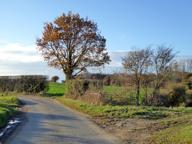
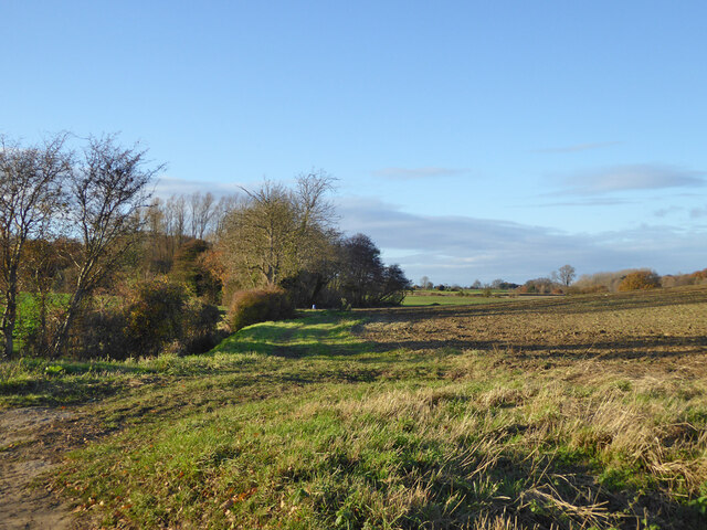
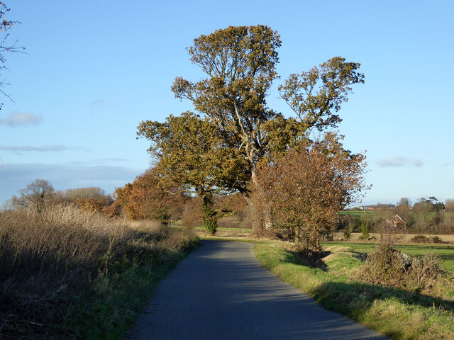
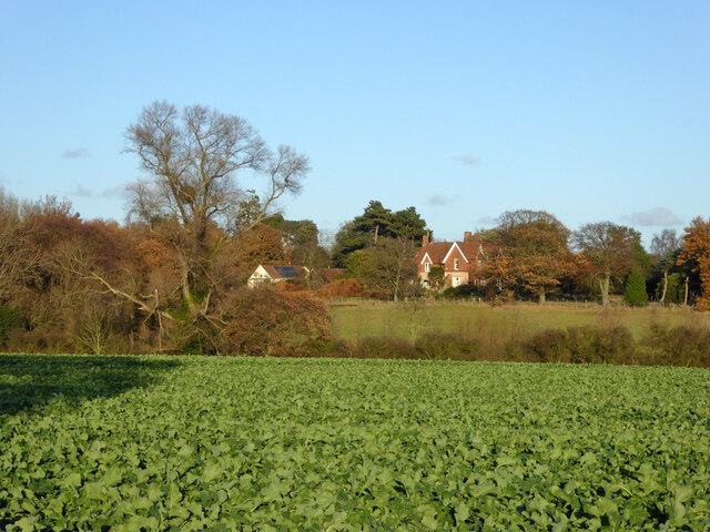
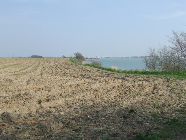
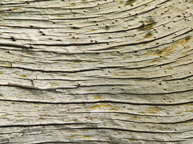
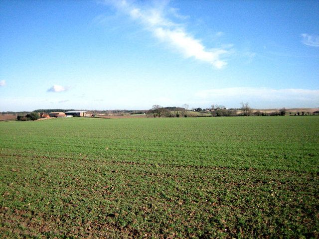
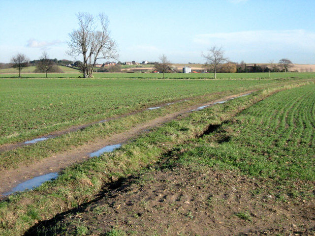
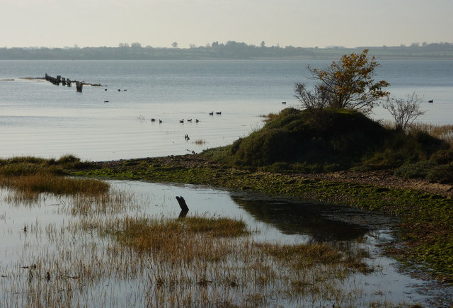
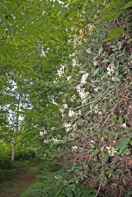
Blind Horse Covert Images

Images are sourced within 2km of 51.962128/1.2079941 or Grid Reference TM2034. Thanks to Geograph Open Source API. All images are credited.

Lovers Lane North of Harkstead Hall.
Lovers Lane
North of Harkstead Hall.
Small bridge and bend, lane towards Harkstead
Fields along stream valley Country east of Harkstead.
Fields along stream valley
Country east of Harkstead.
Trees along road towards Harkstead
View towards Old Rectory, Harkstead
Entering Harkstead from the east On The Street.
Entering Harkstead from the east
On The Street.
Harkstead, St Mary
Harkstead, St Mary
River Stour from Harkstead Village
St. Mary, Harkstead
St. Mary, Harkstead
Suffolk Coastal & Heaths Path A small part of the Suffolk Coastal & Heaths Path with the River Stour south of Harkstead Suffolk.
Suffolk Coastal & Heaths Path
A small part of the Suffolk Coastal & Heaths Path with the River Stour south of Harkstead Suffolk.
Drift Wood Closeup of the remains of a tree beached on the shore of the River Stour along with many others washed and bleached by the weather south of Harkstead Suffolk.
Drift Wood
Closeup of the remains of a tree beached on the shore of the River Stour along with many others washed and bleached by the weather south of Harkstead Suffolk.
Shoreline south of Nether Hall As is also the case on the opposite bank, <a href="https://www.geograph.org.uk/photo/646135">TM2031 : Horizontal woodland along the Stour</a>, the northern banks of the Stour are also scattered with fallen trees that once grew nearby.
Shoreline south of Nether Hall
As is also the case on the opposite bank, TM2031 : Horizontal woodland along the Stour, the northern banks of the Stour are also scattered with fallen trees that once grew nearby.
Seaweed-festooned old jetty Heading south from Needle Corner in <a href="https://www.geograph.org.uk/gridref/TM1934">TM1934</a>, past the abandoned Sparrow Hall, you reach the Orwell at this point, where an old jetty stands, long since abandoned.  It is not alone: <a href="https://www.geograph.org.uk/photo/660274">TM2133 : Abandoned jetty at Erwarton Ness</a>, just a little further east.
Seaweed-festooned old jetty
Heading south from Needle Corner in TM1934, past the abandoned Sparrow Hall, you reach the Orwell at this point, where an old jetty stands, long since abandoned. It is not alone: TM2133 : Abandoned jetty at Erwarton Ness, just a little further east.
Fallen soldier by abandoned jetty Lying next to <a href="https://www.geograph.org.uk/photo/661371">TM1933 : Seaweed-festooned old jetty</a>, this long-dead tree has been swung around by the tide to face the opposite direction to the one it presumably faced when it fell from a nearby bank.
Fallen soldier by abandoned jetty
Lying next to TM1933 : Seaweed-festooned old jetty, this long-dead tree has been swung around by the tide to face the opposite direction to the one it presumably faced when it fell from a nearby bank.
Sparrow Hall A view of Sparrow Hall, abandoned and now derelict, taken from the footpath leading southwards past the remains of an old jetty > <a href="https://www.geograph.org.uk/photo/661371">TM1933 : Seaweed-festooned old jetty</a> on the River Stour.
Sparrow Hall
A view of Sparrow Hall, abandoned and now derelict, taken from the footpath leading southwards past the remains of an old jetty > TM1933 : Seaweed-festooned old jetty on the River Stour.
Undulating farmland North of the River Stour.
Undulating farmland
North of the River Stour.
Track east This farm track runs parallel to the River Stour towards Beaumont Hall. See also <a href="https://www.geograph.org.uk/photo/660645">TM2033 : Across the square to Beaumont Hall</a> from a south-easterly direction.
Track east
This farm track runs parallel to the River Stour towards Beaumont Hall. See also TM2033 : Across the square to Beaumont Hall from a south-easterly direction.
Footpath following field edge The footpath, following a field edge, runs parallel to the River Stour, which can be seen in the distance.
Footpath following field edge
The footpath, following a field edge, runs parallel to the River Stour, which can be seen in the distance.
Show me another place!

Blind Horse Covert is located at Grid Ref: TM2034 (Lat: 51.962128, Lng: 1.2079941)

Administrative County: Suffolk

District: Babergh

Police Authority: Suffolk

What 3 Words

///triangles.fatherly.booms. Near Shotley Gate, Suffolk

Nearby Locations

Blind Horse Covert

Related Wikis

Erwarton

Erwarton or Arwarton is a small village and civil parish in the Babergh district of Suffolk, England. The parish includes the hamlet of Shop Corner. Located...

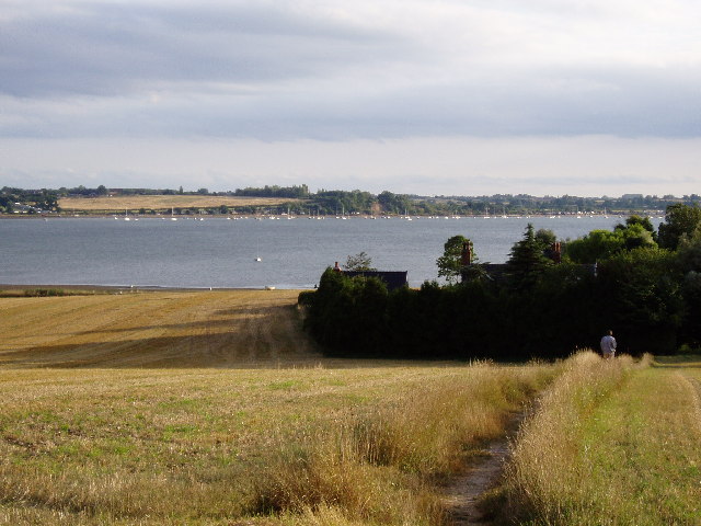
River Stour, Suffolk

The River Stour (, pronounced rhyming with either "tour" or "sour") is a major river in East Anglia, England. It is 47 miles (76 km) long and forms most...
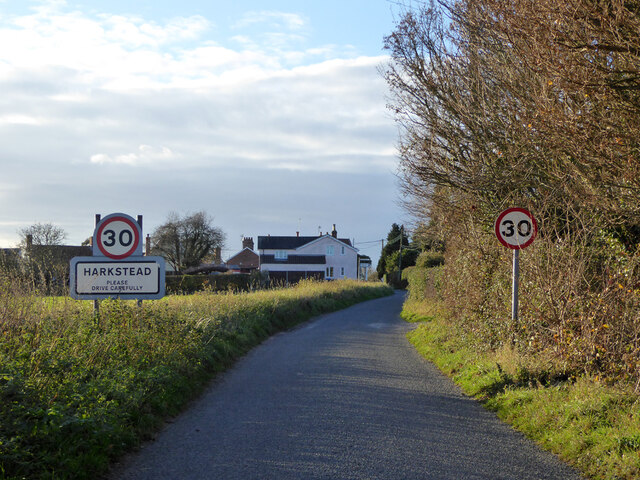
Harkstead

Harkstead is a village and civil parish in the county of Suffolk, England. The village is located on the northern bank of the River Stour estuary at Holbrook...

Stour Estuary

Stour Estuary is a 2,523 hectare biological and geological Site of Special Scientific Interest which stretches from Manningtree to Harwich in Essex and...

Copperas Wood

Copperas Wood is a 13.8-hectare (34-acre) nature reserve between Ramsey and Wrabness in Essex. It is owned and managed by the Essex Wildlife Trust, and...

Harwich refinery

Harwich refinery is a 500,000 tonnes per year refining, processing, blending and storage facility near the port of Harwich in the UK. The refinery was...

Chelmondiston

Chelmondiston is a small village and civil parish in Suffolk, England located on the Shotley Peninsula, five miles south-east of Ipswich. The hamlet of...

Shotley

Shotley is a village and civil parish 8 miles (13 km) south-east of Ipswich in the English county of Suffolk. It is in the Babergh district and gives its...

Nearby Amenities

Located within 500m of 51.962128,1.2079941
The data included in this document is from www.openstreetmap.org. The data is made available under ODbL.

Have you been to Blind Horse Covert?

Leave your review of Blind Horse Covert below (or comments, questions and feedback).