Auchinleish

Settlement in Angus

Scotland

Auchinleish

Boundary stone at summit of Knockton Knockton is a minor, heathery hill at an angle of the county boundary between Perth & Kinross and Angus, There's a letter K cut into the face of the stone in view and a B on the other side.
Mount Blair is the obvious hill in the distance.
Boundary stone at summit of Knockton Credit: Trevor Littlewood

Auchinleish is a small rural village located in the county of Angus, Scotland. Situated in the eastern part of the country, it lies about 10 miles northwest of the town of Forfar. The village is nestled amidst the picturesque Angus Glens, surrounded by rolling hills and breathtaking natural beauty.

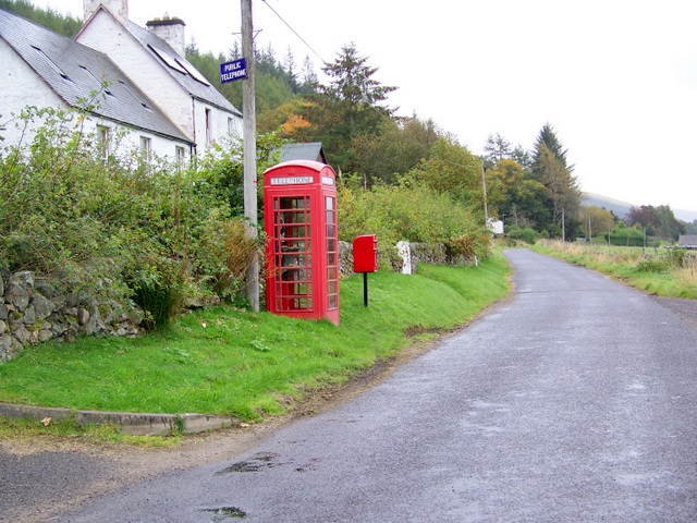
With a population of around 200 residents, Auchinleish is a close-knit community known for its tranquility and charm. The village primarily consists of traditional stone cottages, giving it a quaint and timeless feel. Its rural setting offers residents and visitors a peaceful retreat away from the hustle and bustle of larger towns.

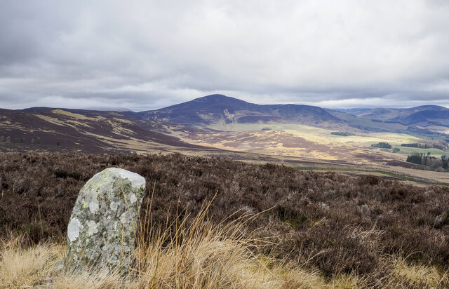
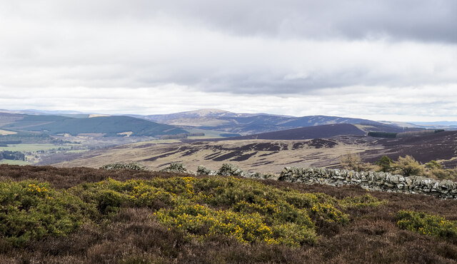
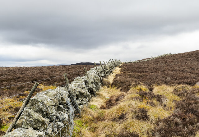
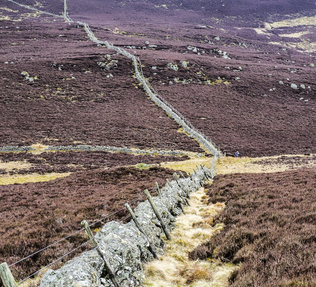
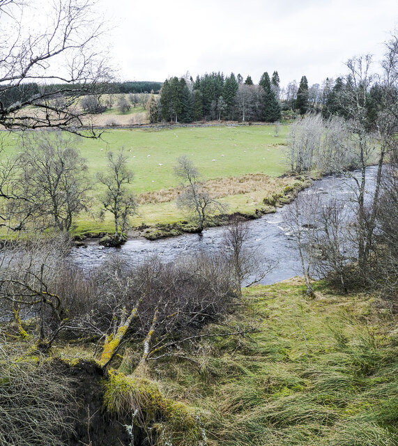
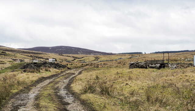
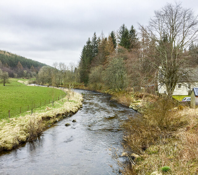
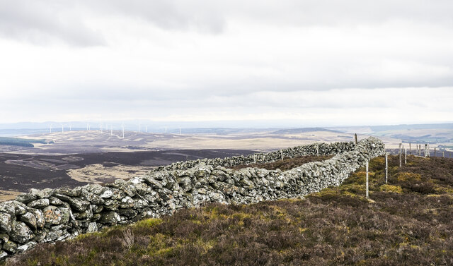
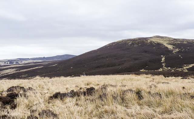
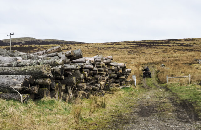
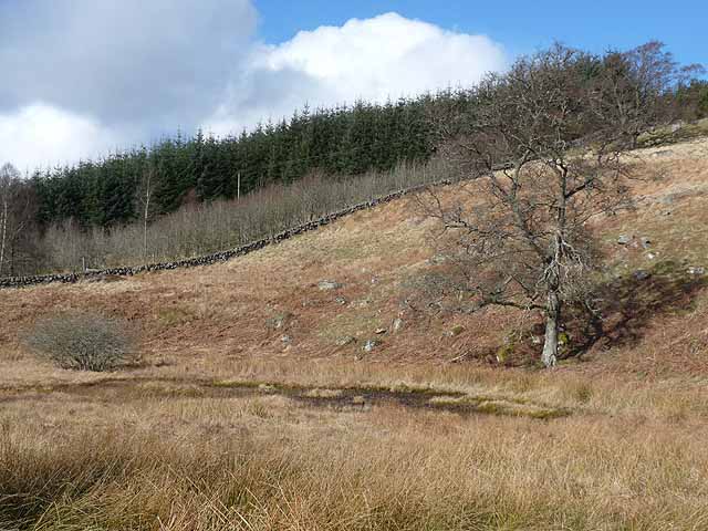
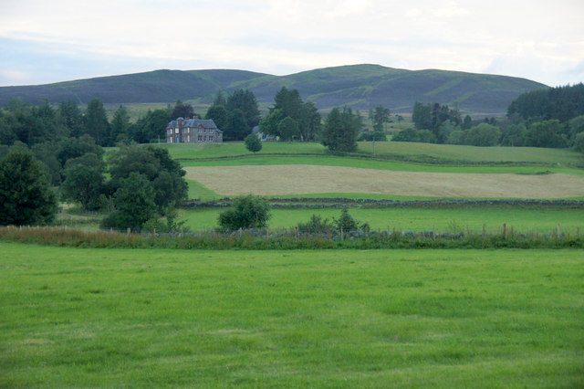
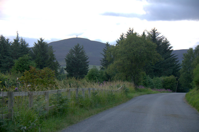
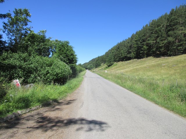
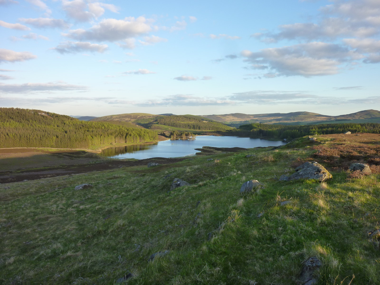
Auchinleish is renowned for its stunning landscapes, making it an ideal destination for outdoor enthusiasts. The surrounding area offers a plethora of hiking and walking trails, allowing visitors to explore the unspoiled beauty of the Angus Glens. The nearby Loch Lee provides opportunities for fishing and boating, while the surrounding hills offer wonderful views and a chance to spot local wildlife.

While Auchinleish lacks amenities such as shops or schools, it is within easy reach of nearby towns that cater to these needs. The village has a strong sense of community, with regular events and gatherings bringing residents together. The local pub serves as a social hub, providing a place for locals and visitors to relax and enjoy each other's company.

Overall, Auchinleish is a serene and idyllic village, offering a tranquil escape in the heart of the Scottish countryside. Its natural beauty and sense of community make it a hidden gem for those seeking a peaceful retreat.

If you have any feedback on the listing, please let us know in the comments section below.

Auchinleish Images

Images are sourced within 2km of 56.724612/-3.3252404 or Grid Reference NO1960. Thanks to Geograph Open Source API. All images are credited.

Boundary stone at summit of Knockton Knockton is a minor, heathery hill at an angle of the county boundary between Perth & Kinross and Angus, There's a letter K cut into the face of the stone in view and a B on the other side.
Mount Blair is the obvious hill in the distance.
Boundary stone at summit of Knockton
Knockton is a minor, heathery hill at an angle of the county boundary between Perth & Kinross and Angus, There's a letter K cut into the face of the stone in view and a B on the other side. Mount Blair is the obvious hill in the distance.
Gorse among heather with dry stone wall The location is along the south ridge of Cairn Gibbs where walls rising from Glen Isla join the main ridge wall.
Glen Isla continues into the distance.
Gorse among heather with dry stone wall
The location is along the south ridge of Cairn Gibbs where walls rising from Glen Isla join the main ridge wall. Glen Isla continues into the distance.
Wall crossing Cairn Gibbs Cairn Gibbs is a heathery hill dome above Glen Isla. The rising wall is typical of those in the area, low but with the height of the barrier extended by the addition of wire fencing.
Meall Mòr, the next hill to the north, just shows near the centre of the image.
Wall crossing Cairn Gibbs
Cairn Gibbs is a heathery hill dome above Glen Isla. The rising wall is typical of those in the area, low but with the height of the barrier extended by the addition of wire fencing. Meall Mòr, the next hill to the north, just shows near the centre of the image.
Col between Meall Mòr and Cairn Gibbs The wall is descending from Cairn Gibbs. Meall Mòr rises from the col where there's a hill walker about to begin the ascent - a rough and arduous climb hampered by the thickness of the heather.
Col between Meall Mòr and Cairn Gibbs
The wall is descending from Cairn Gibbs. Meall Mòr rises from the col where there's a hill walker about to begin the ascent - a rough and arduous climb hampered by the thickness of the heather.
Trees beside the River Isla, standing and fallen A bend of the river near to Kirkton of Glenisla with trees standing on both banks and fallen trees on the south side no doubt knocked over during a storm in the winter of 2021 to 2022.
Trees beside the River Isla, standing and fallen
A bend of the river near to Kirkton of Glenisla with trees standing on both banks and fallen trees on the south side no doubt knocked over during a storm in the winter of 2021 to 2022.
Hill road climbing into valley of Cressfit Burn The stream drains slopes of the moorland hills, Cairn Gibbs and Knockton. The way initially is unattractive passing apparently abandoned farm equipment and various debris.
Hill road climbing into valley of Cressfit Burn
The stream drains slopes of the moorland hills, Cairn Gibbs and Knockton. The way initially is unattractive passing apparently abandoned farm equipment and various debris.
River Isla flowing downstream The river seen from Brewlands old bridge which has an OS flush bracket - No. G846.
River Isla flowing downstream
The river seen from Brewlands old bridge which has an OS flush bracket - No. G846.
Wall corner at summit of Meall Mòr The wall crosses the hill's summit passing close to the summit cairn from which the image was recorded.
Wall corner at summit of Meall Mòr
The wall crosses the hill's summit passing close to the summit cairn from which the image was recorded.
Rushes concealing Craigness Burn The Craigness Burn flows through the bed of rushes beyond which rises to the heather dome of Cairn Gibbs.
Rushes concealing Craigness Burn
The Craigness Burn flows through the bed of rushes beyond which rises to the heather dome of Cairn Gibbs.
Timber stack beside hill track Timber stacks are generally temporary stores of felled logs prior to them being taken away for use. Occasionally, for some reason the wood is just left in its pile and that's what seems to have happened here.
Timber stack beside hill track
Timber stacks are generally temporary stores of felled logs prior to them being taken away for use. Occasionally, for some reason the wood is just left in its pile and that's what seems to have happened here.
Rocky slope and plantation above Glen Isla
The road up Glen Isla The B951 from Kirriemuir to Glenshee.
The road up Glen Isla
The B951 from Kirriemuir to Glenshee.
Dried up pond at Holmiry In Glen Isla.
Dried up pond at Holmiry
In Glen Isla.
Glen Isla at Auchenleish Looking across the glen to Auchenleish House which is just outside the square.
Glen Isla at Auchenleish
Looking across the glen to Auchenleish House which is just outside the square.
Roadkill, Glen Isla A female Pheasant; this area has a very high density of Pheasant-rearing.
Roadkill, Glen Isla
A female Pheasant; this area has a very high density of Pheasant-rearing.
Road through Glen Isla Mount Blair in the background.
Road through Glen Isla
Mount Blair in the background.
B951 through Glen Isla The B951 heading up Glen Isla between the Kirkton and Brewlands.
B951 through Glen Isla
The B951 heading up Glen Isla between the Kirkton and Brewlands.
Stone-built barns at Auchenleish Farm Stone-built, slate-roofed barns at the farm; there are modern examples and the farmhouse out of view to the right.
Meall Mòr is the hill on the horizon.
Stone-built barns at Auchenleish Farm
Stone-built, slate-roofed barns at the farm; there are modern examples and the farmhouse out of view to the right. Meall Mòr is the hill on the horizon.
Show me another place!

Auchinleish is located at Grid Ref: NO1960 (Lat: 56.724612, Lng: -3.3252404)

Unitary Authority: Angus

Police Authority: Tayside

What 3 Words

///helpful.ushering.backyards. Near Alyth, Perth & Kinross

Nearby Locations

Auchinleish

Related Wikis

Have you been to Auchinleish?

Leave your review of Auchinleish below (or comments, questions and feedback).