Furze Hills

Wood, Forest in Norfolk South Norfolk

England

Furze Hills

Tharston: St. Mary's Church
Tharston: St. Mary's Church Credit: Michael Garlick

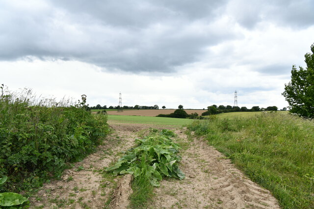
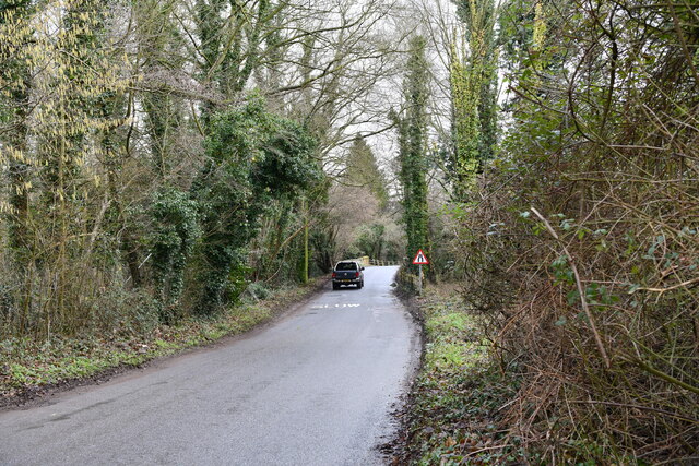
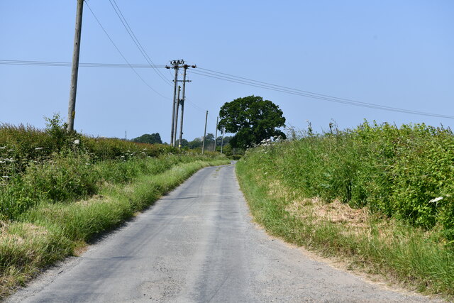
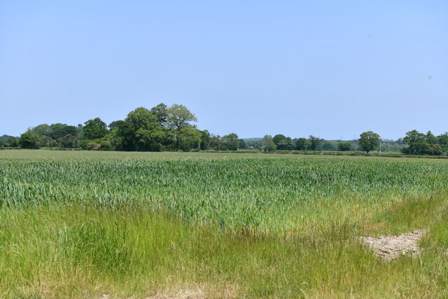
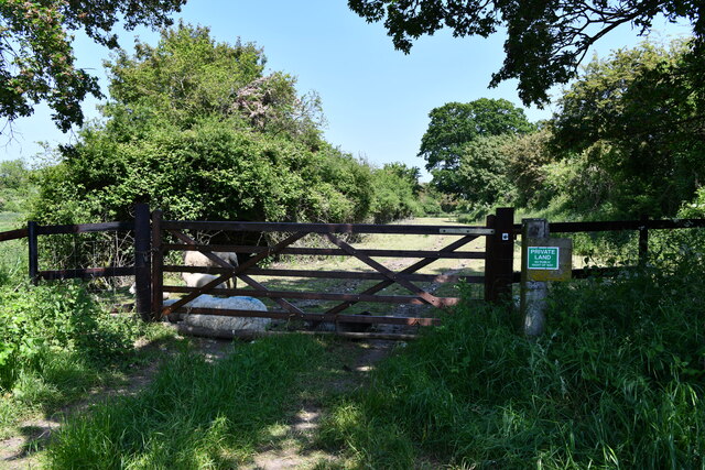
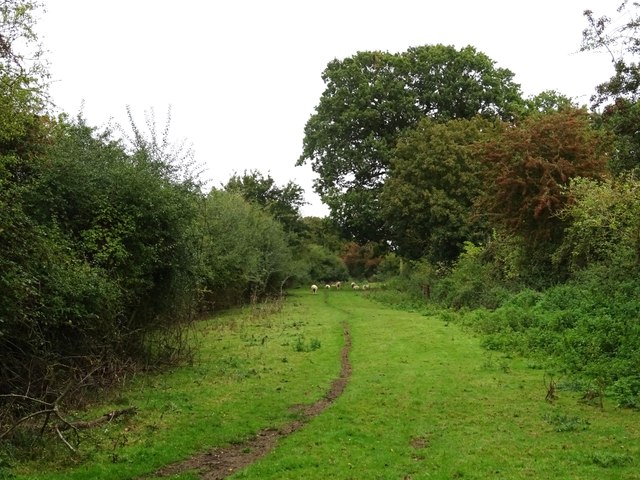
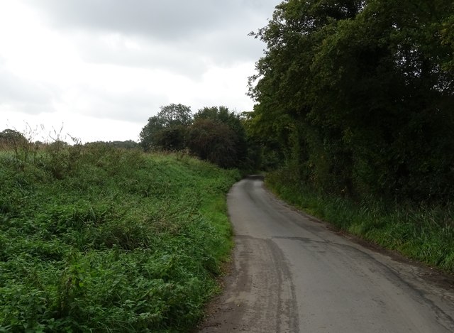
Furze Hills is a charming woodland area located in Norfolk, England. Situated amidst the beautiful Norfolk countryside, it is a haven for nature lovers and outdoor enthusiasts. Covering an expansive area, Furze Hills is primarily characterized by dense woods and forests, which provide a habitat for a variety of flora and fauna.

The woodlands of Furze Hills are predominantly composed of deciduous and coniferous trees, creating a diverse and vibrant ecosystem. Towering oak, beech, and ash trees intermingle with spruce and pine, forming a striking landscape that changes with the seasons. The forest floor is carpeted with a rich layer of mosses, ferns, and wildflowers, adding to the area's natural beauty.

Furze Hills is home to a wide range of wildlife, making it an ideal spot for birdwatching and animal spotting. Bird species such as woodpeckers, owls, and various songbirds can be heard and seen throughout the year. Squirrels, rabbits, and deer are also commonly spotted, adding to the enchanting atmosphere of the woods.

Visitors to Furze Hills can enjoy a variety of outdoor activities, including hiking, cycling, and picnicking. The woodlands offer numerous trails and pathways, allowing visitors to explore the area at their own pace. The serene atmosphere and tranquil surroundings make Furze Hills a popular destination for those seeking a break from the hustle and bustle of city life.

Overall, Furze Hills in Norfolk is a picturesque woodland area that offers a peaceful retreat in the heart of nature. Its diverse range of plant and animal life, coupled with its recreational opportunities, make it a must-visit destination for nature enthusiasts and those seeking a tranquil escape.

If you have any feedback on the listing, please let us know in the comments section below.
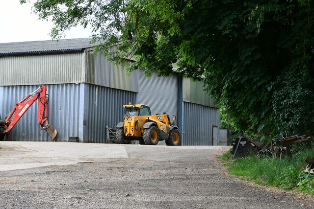
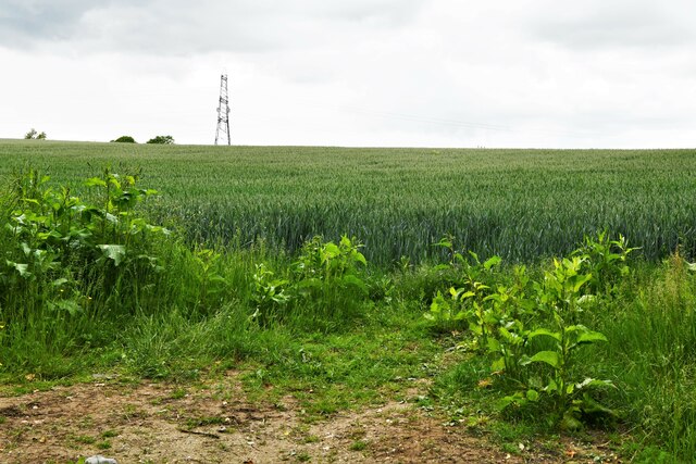
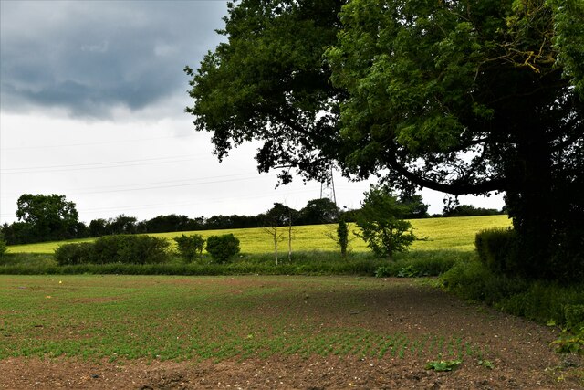
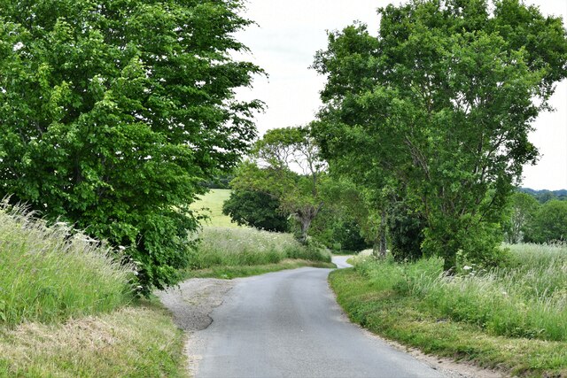
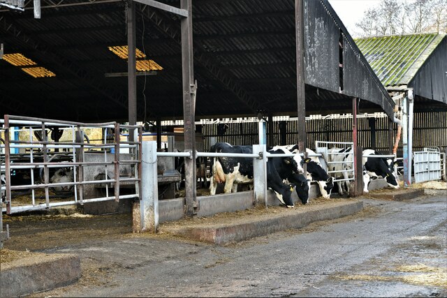
Furze Hills Images

Images are sourced within 2km of 52.514435/1.243784 or Grid Reference TM2095. Thanks to Geograph Open Source API. All images are credited.

Tharston: St. Mary's Church
Tasburgh: Hill Farm
Tasburgh: Hill Farm
Tharston: Wheat crop
Tharston: Crop
Tharston: Crop
Tharston: Parkes Lane looking north
Tharston: Farm track
Tharston, St. Mary's Church: Eastern aspect
Tharston:  Private access to Hall Farm
Tharston: Private access to Hall Farm
Tharston, St. Mary's Church: Western aspect
Flordon: 'Tas Valley View'
Flordon: 'Mandhari'
Flordon: 'Mandhari'
Tharston, Valley Farm: Large cow shed
Lower Tasburgh: Looking towards a bridge over the river
Long Stratton: Brand's Lane
Stratton St Michael: Cereal crop
Long Stratton, Brand's Lane: Private land access
Sheep grazing on a narrow strip of land Off Brand's Lane.
Sheep grazing on a narrow strip of land
Off Brand's Lane.
Brand's Lane
Brand's Lane
Show me another place!

Furze Hills is located at Grid Ref: TM2095 (Lat: 52.514435, Lng: 1.243784)

Administrative County: Norfolk

District: South Norfolk

Police Authority: Norfolk

What 3 Words

///sidelined.senses.melt. Near Long Stratton, Norfolk

Related Wikis

Tasburgh

Tasburgh ( TAYZ-bər-ə) is a civil parish and a village in the south of Norfolk, England, located approximately 8 miles south of Norwich. It lies on the...

A140 road

The A140 is an 'A-class' road in Norfolk and Suffolk, East Anglia, England partly following the route of the Roman Pye Road. It runs from the A14 near...

Flordon railway station

Flordon railway station served the village of Flordon, Norfolk. It was opened in 1849, when the line from London Liverpool Street to Norwich Victoria was...

Tharston and Hapton

The civil parish of Tharston and Hapton lies in the south of the county of Norfolk, England. It encompasses the two villages of Tharston and Hapton, covering...

Nearby Amenities

Located within 500m of 52.514435,1.243784
Bus Stop
Church Road, adj
Naptan AtcoCode: 2900T0210
Naptan Bearing: NE
Naptan BusStopType: CUS
Naptan CommonName: Church Road
Naptan Indicator: adj
Naptan Locality: Upper Tasburgh
Naptan NaptanCode: nfodwjta
Naptan Street: Valley Road
Naptan Verified: no
Source: naptan_import
Lat/Long: 52.5146946/1.2476254
Bus Stop
Church Road, opp
Naptan AtcoCode: 2900T0211
Naptan Bearing: SE
Naptan BusStopType: CUS
Naptan CommonName: Church Road
Naptan Indicator: opp
Naptan Landmark: Post Office
Naptan Locality: Upper Tasburgh
Naptan NaptanCode: nfodwjtd
Naptan ShortCommonName: Church Road
Naptan Street: Church Road
Naptan Verified: no
Source: naptan_import
Lat/Long: 52.5147714/1.2481028
Bus Stop
Valley Road, adj
Naptan AtcoCode: 2900T029
Naptan Bearing: NW
Naptan BusStopType: CUS
Naptan CommonName: Valley Road
Naptan Indicator: adj
Naptan Landmark: Valley Road
Naptan Locality: Lower Tasburgh
Naptan NaptanCode: nfodwjwg
Naptan Street: Church Road
Naptan Verified: no
Source: naptan_import
Lat/Long: 52.5157269/1.2463895
Traffic Calming: hump
Lat/Long: 52.5127866/1.249375
Crossing
Crossing: unmarked
Lat/Long: 52.5169004/1.2439362
Access: permissive
Barrier: kissing_gate
Bicycle: no
Foot: yes
Lat/Long: 52.5186702/1.243651
Entrance: main
Lat/Long: 52.5164664/1.2426076
Bench
Backrest: yes
Material: wood
Lat/Long: 52.5167815/1.2436274
Tasburgh
Alt Name: Upper Tasburgh
Place: village
Postal Code: NR15
Wikidata: Q1830846
Wikipedia: en:Tasburgh
Lat/Long: 52.515032/1.2488121
Traffic Calming: hump
Lat/Long: 52.5121474/1.2497226
Give Way
Lat/Long: 52.5169188/1.2440025
Bench
Lat/Long: 52.5186348/1.2416492
Bench
Lat/Long: 52.5186478/1.2428106
Traffic Calming: hump
Lat/Long: 52.5125179/1.2500532
Entrance: yes
Lat/Long: 52.5163029/1.242485
Entrance: yes
Lat/Long: 52.516396/1.2428191
Give Way
Lat/Long: 52.5167482/1.244094
Crossing
Crossing: unmarked
Lat/Long: 52.5167882/1.2439584
Give Way
Lat/Long: 52.5128555/1.2491154
Turning Circle
Lat/Long: 52.5126119/1.2484275
Tasburgh
Man Made: village_sign
Material: wood
Lat/Long: 52.5135521/1.2508656
Generator Source: solar
Location: roof
Power: generator
Lat/Long: 52.5151811/1.2447019
Generator Source: solar
Location: roof
Power: generator
Lat/Long: 52.5150106/1.2496841
Generator Source: solar
Location: roof
Power: generator
Lat/Long: 52.5146817/1.250309
Generator Source: solar
Location: roof
Power: generator
Lat/Long: 52.5164461/1.2475209
Generator Source: solar
Location: roof
Power: generator
Lat/Long: 52.5164461/1.2474672
Generator Source: solar
Location: roof
Power: generator
Lat/Long: 52.516349/1.24736
Generator Source: solar
Location: roof
Power: generator
Lat/Long: 52.5162706/1.2472956
Generator Source: solar
Location: roof
Power: generator
Lat/Long: 52.5162723/1.2471829
Generator Source: solar
Location: roof
Power: generator
Lat/Long: 52.5168444/1.2478361
Generator Source: solar
Location: roof
Power: generator
Lat/Long: 52.5170615/1.2470984
Generator Source: solar
Location: roof
Power: generator
Lat/Long: 52.5162927/1.2484047
Generator Source: solar
Location: roof
Power: generator
Lat/Long: 52.5156104/1.2494427
Generator Source: solar
Location: roof
Power: generator
Lat/Long: 52.515519/1.2492174
Generator Source: solar
Location: roof
Power: generator
Lat/Long: 52.5153966/1.2499523
Generator Source: solar
Location: roof
Power: generator
Lat/Long: 52.5151583/1.2495258
Generator Source: solar
Location: roof
Power: generator
Lat/Long: 52.5151224/1.2493435
Generator Source: solar
Location: roof
Power: generator
Lat/Long: 52.5153395/1.2488526
Generator Source: solar
Location: roof
Power: generator
Lat/Long: 52.5141381/1.2452558
Generator Source: solar
Location: roof
Power: generator
Lat/Long: 52.5151158/1.2448883
Generator Source: solar
Location: roof
Power: generator
Lat/Long: 52.5152415/1.2437054
Generator Source: solar
Location: roof
Power: generator
Lat/Long: 52.5160854/1.2442513
Generator Source: solar
Location: roof
Power: generator
Lat/Long: 52.5158503/1.2439039
Generator Source: solar
Location: roof
Power: generator
Lat/Long: 52.5157965/1.2438409
Generator Source: solar
Location: roof
Power: generator
Lat/Long: 52.5122389/1.248752
Generator Source: solar
Location: roof
Power: generator
Lat/Long: 52.5124862/1.2483725
Generator Source: solar
Location: roof
Power: generator
Lat/Long: 52.5137725/1.245819
Generator Source: solar
Location: roof
Power: generator
Lat/Long: 52.5132795/1.2459129
Generator Source: solar
Location: roof
Power: generator
Lat/Long: 52.5152203/1.2478065
Generator Source: solar
Location: roof
Power: generator
Lat/Long: 52.5152415/1.2476885
Generator Source: solar
Location: roof
Power: generator
Lat/Long: 52.5145201/1.2471199
Generator Source: solar
Location: roof
Power: generator
Lat/Long: 52.5147176/1.2466988
Hiking: yes
Information: route_marker
Tourism: information
Lat/Long: 52.5168693/1.2439619
Generator Method: photovoltaic
Generator Output Electricity: yes
Generator Solar Modules: 14
Generator Source: solar
Generator Type: solar_photovoltaic_panel
Location: roof
Power: generator
Lat/Long: 52.5138965/1.2506872
Generator Output Hot Water: yes
Generator Plant: output
Generator Source: solar
Generator Thermal Modules: 1
Power: generator
Lat/Long: 52.5137806/1.2510252
Generator Method: photovoltaic
Generator Output Electricity: yes
Generator Solar Modules: 8
Generator Source: solar
Generator Type: solar_photovoltaic_panel
Location: roof
Power: generator
Lat/Long: 52.51377/1.2510379
The data included in this document is from www.openstreetmap.org. The data is made available under ODbL.

Have you been to Furze Hills?

Leave your review of Furze Hills below (or comments, questions and feedback).