Round Wood
Wood, Forest in Kent Canterbury
England
Round Wood

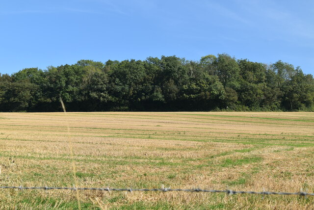
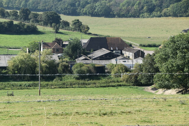
Round Wood, Kent, also known as Wood, Forest, is a picturesque woodland area located in the county of Kent, England. Spanning approximately 500 acres, it is a haven of natural beauty and a popular destination for nature lovers and outdoor enthusiasts.
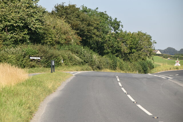
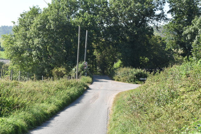
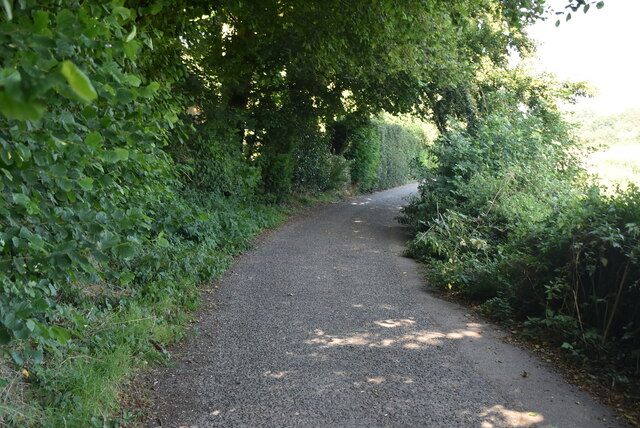
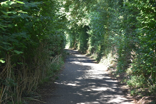
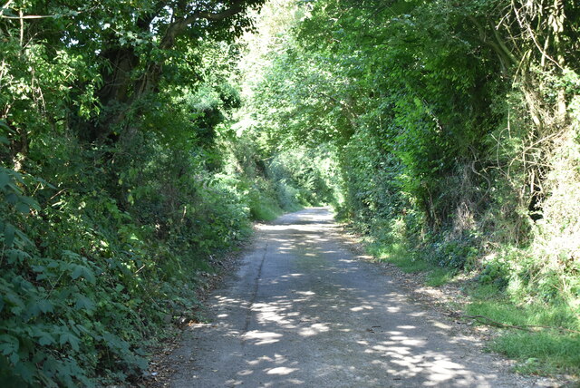
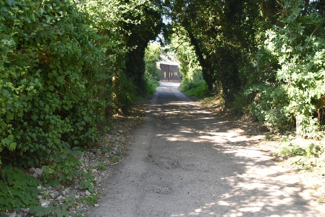
The wood is characterized by its dense canopy of mature trees, predominantly consisting of oak, beech, and birch. These towering trees provide a tranquil and shady environment, perfect for leisurely walks and exploration. Within the wood, there are well-maintained footpaths that meander through the trees, allowing visitors to fully immerse themselves in the serene surroundings.
Round Wood is home to a diverse range of wildlife, making it a haven for nature enthusiasts. It is known for its rich bird population, with species such as woodpeckers, owls, and finches frequently spotted. Additionally, the wood supports a variety of mammals, including deer, foxes, and squirrels, which can often be seen darting through the undergrowth.
The wood is open to the public year-round, offering a peaceful retreat from the hustle and bustle of daily life. It is a popular spot for activities such as picnicking, birdwatching, and photography. The changing seasons bring their own unique beauty to the wood, with vibrant displays of autumn foliage and carpets of bluebells in the spring.
Overall, Round Wood, Kent, offers a tranquil and enchanting experience for those seeking a connection with nature. Its ancient trees, diverse wildlife, and well-maintained paths make it a must-visit destination for anyone looking to explore the natural beauty of Kent.
If you have any feedback on the listing, please let us know in the comments section below.
Round Wood Images
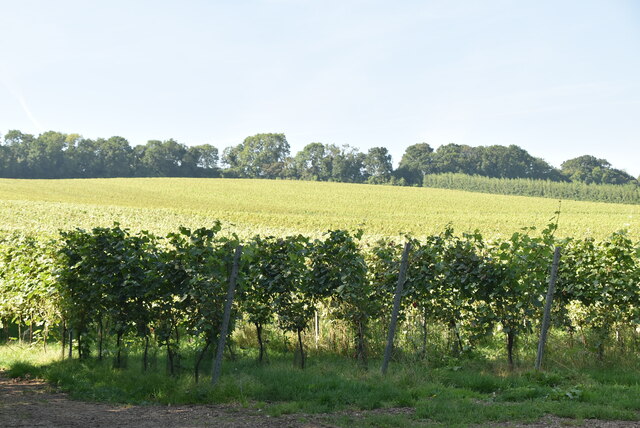
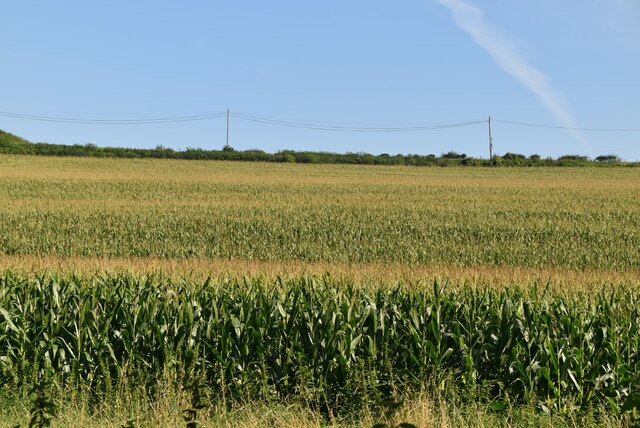
Images are sourced within 2km of 51.208235/1.1473425 or Grid Reference TR1950. Thanks to Geograph Open Source API. All images are credited.


Round Wood is located at Grid Ref: TR1950 (Lat: 51.208235, Lng: 1.1473425)
Administrative County: Kent
District: Canterbury
Police Authority: Kent
What 3 Words
///uniforms.encrusted.peach. Near Barham, Kent
Nearby Locations
Related Wikis

Barham, Kent
Barham is a village and civil parish in the City of Canterbury district of Kent, England. Barham village is approximately 6 miles (10 km) south-east from...

Barham railway station
Barham was a station on the Elham Valley Railway. It opened in 1887 and closed to passengers in 1940 and freight in 1947. == History == The station opened...

Heart's Delight, City of Canterbury
Heart's Delight is a settlement located near Barham in Kent, England. There is a similarly-known settlement near Sittingbourne in the Swale district of...

Kingston, Kent
Kingston is a village and civil parish between Canterbury and Dover in Kent, South East England. The parish contains the hamlet of Marley. == History... ==
Nearby Amenities
Located within 500m of 51.208235,1.1473425Have you been to Round Wood?
Leave your review of Round Wood below (or comments, questions and feedback).