Horsford Woods
Wood, Forest in Norfolk Broadland
England
Horsford Woods
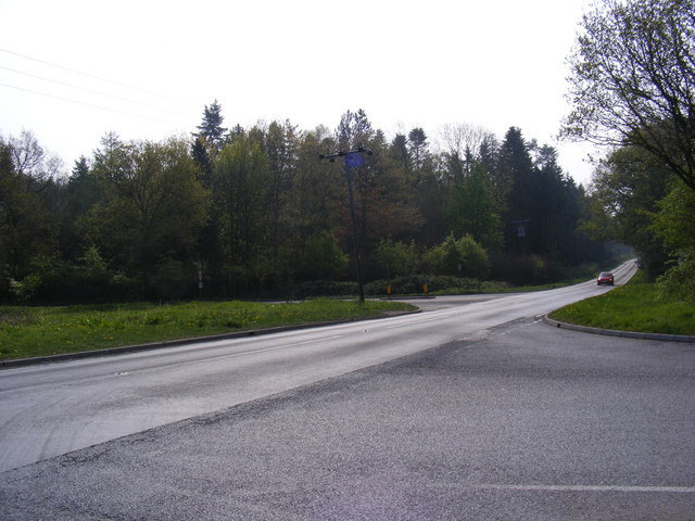
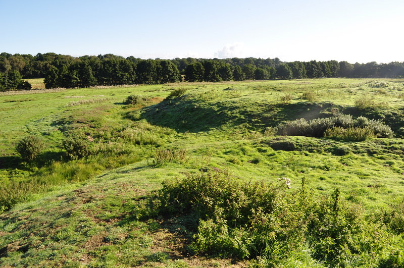
Horsford Woods is a charming woodland located in Norfolk, England. Spanning over 200 acres, this beautiful nature reserve is a haven for wildlife and an ideal destination for nature enthusiasts and outdoor lovers.
The woods are predominantly made up of ancient broadleaf trees such as oak, beech, and birch, creating a dense and enchanting forest atmosphere. The woodland floor is covered in a variety of wildflowers, providing a colorful and vibrant display during the spring and summer months.
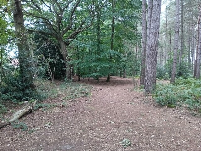
As visitors explore Horsford Woods, they will discover a network of well-maintained footpaths and trails, allowing them to easily navigate through the woodland and enjoy its beauty. These paths lead to secluded areas and open clearings, offering peaceful spots to relax and immerse oneself in nature.
The woods are teeming with wildlife, making it a perfect spot for birdwatching and animal spotting. Visitors may catch a glimpse of deer, foxes, badgers, and a wide variety of bird species, including woodpeckers and owls.
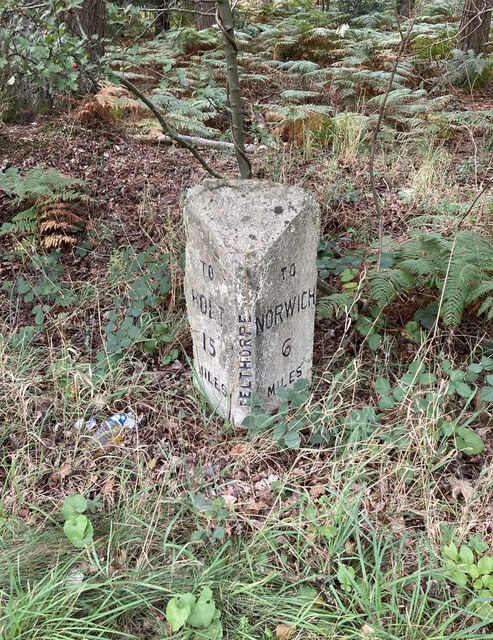
Horsford Woods also boasts a rich history, with evidence of human activity dating back thousands of years. Ancient earthworks and remains of old buildings can be found within the woodland, providing a glimpse into the area's past.
With its tranquil atmosphere, diverse flora and fauna, and rich history, Horsford Woods is a true gem in Norfolk's landscape. Whether for a leisurely stroll, wildlife observation, or a peaceful picnic, this woodland offers a delightful escape into the natural world.
If you have any feedback on the listing, please let us know in the comments section below.
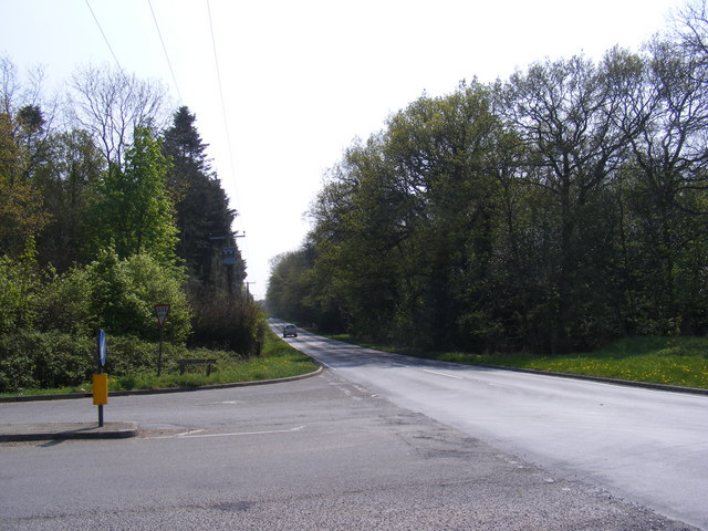
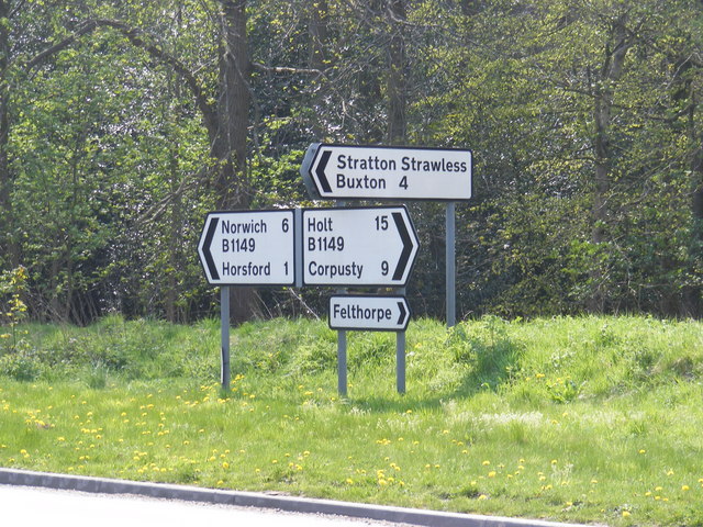
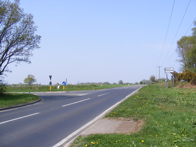
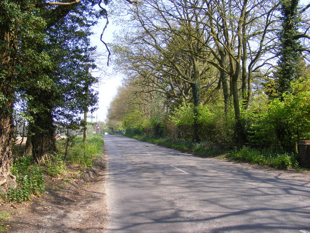
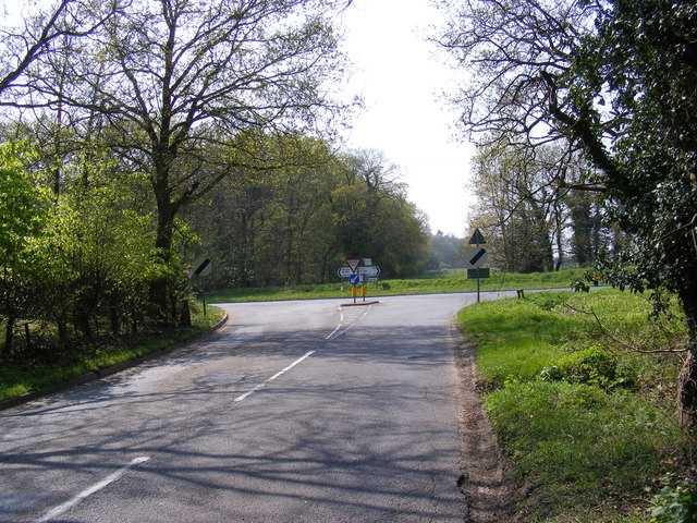
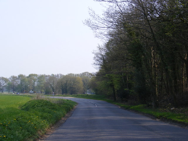
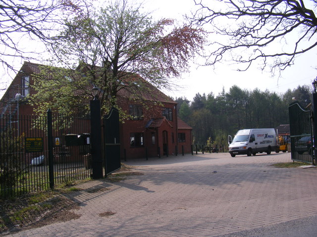
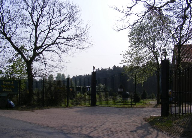
Horsford Woods Images
Images are sourced within 2km of 52.719068/1.2518645 or Grid Reference TG1918. Thanks to Geograph Open Source API. All images are credited.


Horsford Woods is located at Grid Ref: TG1918 (Lat: 52.719068, Lng: 1.2518645)
Administrative County: Norfolk
District: Broadland
Police Authority: Norfolk
What 3 Words
///tint.unusable.order. Near Horsford, Norfolk
Nearby Locations
Related Wikis

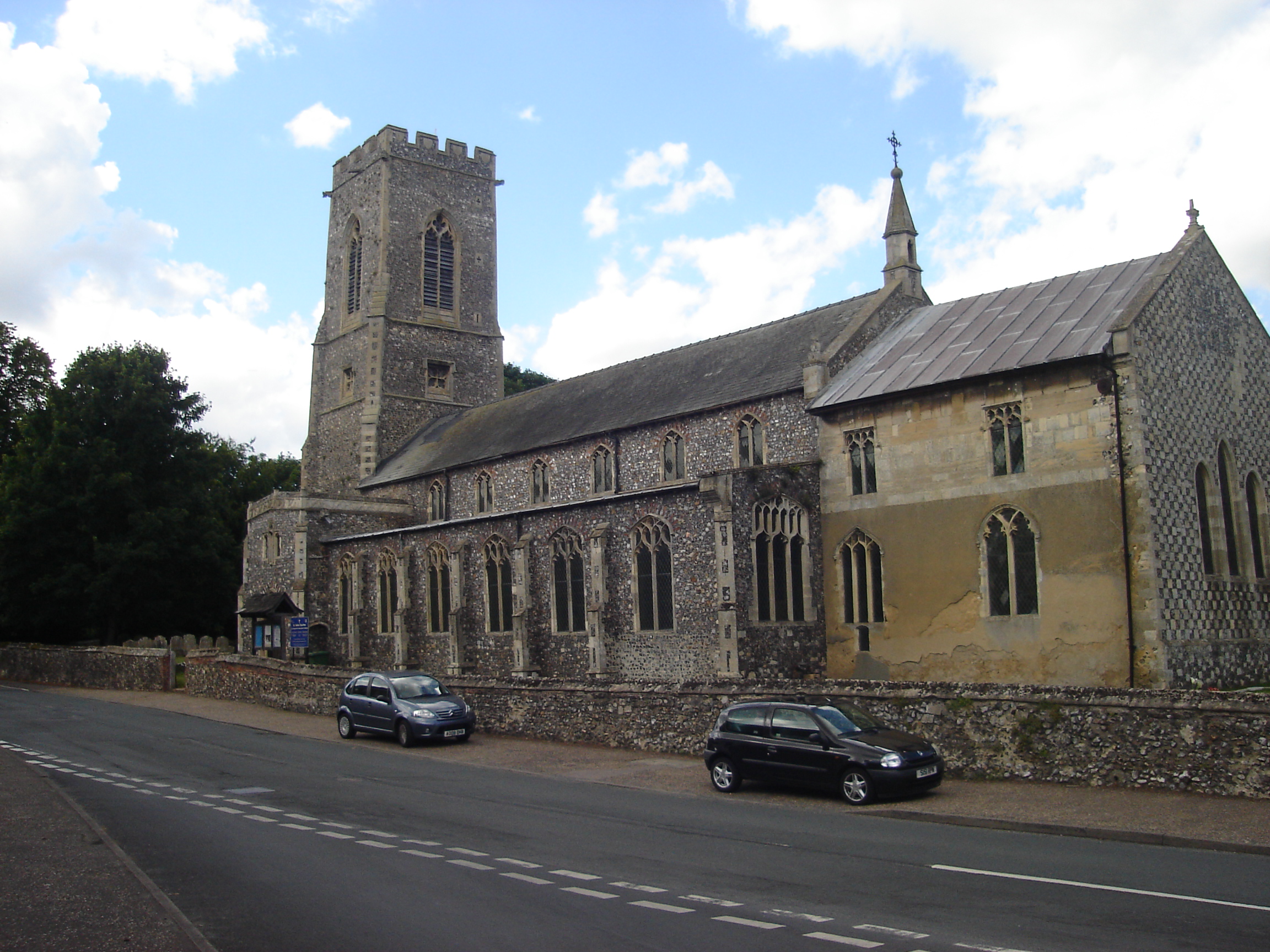
Horsford
Horsford is a village six miles north of Norwich, England which is surrounded by the Horsford Forest and is named after the dried up section of the River...

St Faith's and Aylsham Rural District
St Faith's and Aylsham Rural Districts were adjacent rural districts in Norfolk, England from 1894 to 1935.They were formed under the Local Government...

Felthorpe
Felthorpe is a village and civil parish in the English county of Norfolk. The village is located 11 miles (18 km) east of Dereham and 7.1 miles (11.4 km...

Hevingham
Hevingham is a village and civil parish in the Broadland district of the English county of Norfolk. Situated between the A140 road Norwich to Cromer road...
Horsford Castle
Horsford Castle is situated in the village of Horsford, 6 miles to the north of the city of Norwich. == Details == Before the Norman conquest of England...

Hainford
Hainford (originally Haynford) is a village and civil parish in the English county of Norfolk. It covers an area of 6.94 km2 (2.68 sq mi) and had a population...

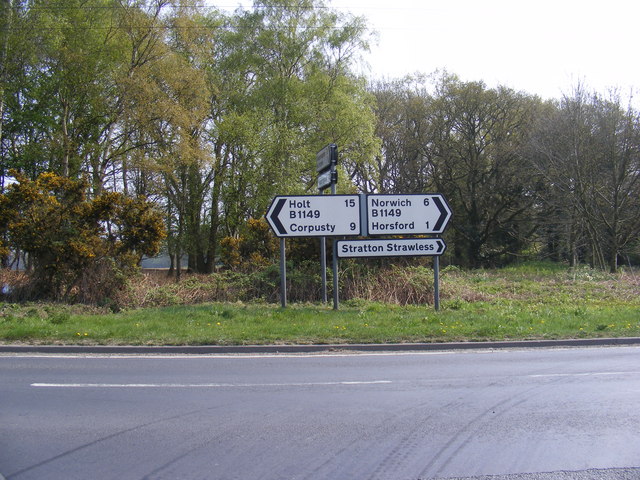
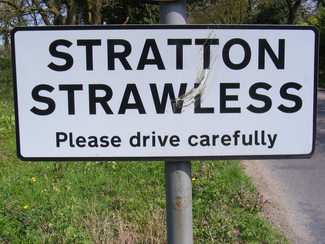
Stratton Strawless
Stratton Strawless is a village in the county of Norfolk and district of Broadland. The civil parish covers 714 acres (289 ha) and has a population of...
Horsham St Faith
Horsham St Faith is a village in Norfolk, England. The village lies close and to the east of the A140 road and is 5 miles (8.0 km) north of Norwich and...
Nearby Amenities
Located within 500m of 52.719068,1.2518645Have you been to Horsford Woods?
Leave your review of Horsford Woods below (or comments, questions and feedback).