Barn Plantation
Wood, Forest in Norfolk North Norfolk
England
Barn Plantation
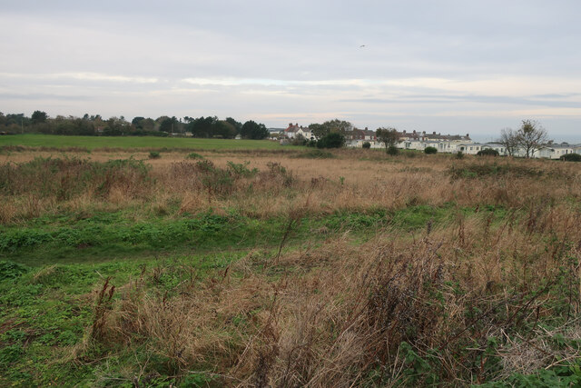
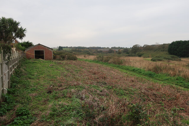
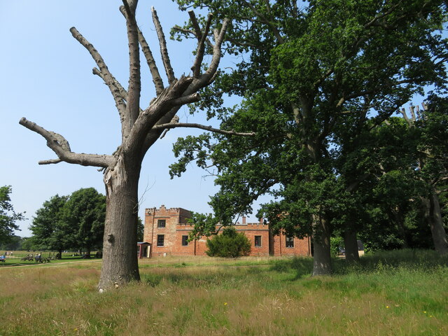
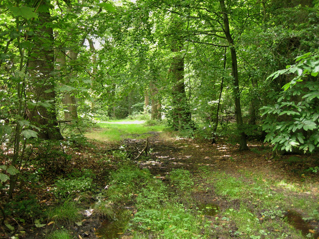
Barn Plantation, located in Norfolk, is a picturesque woodland area known for its dense forest and natural beauty. Spanning over a vast expanse of land, the plantation is home to a variety of trees and wildlife species, making it a haven for nature enthusiasts and outdoor adventurers.
The woodland is predominantly composed of deciduous trees such as oak, beech, and ash, creating a rich and diverse ecosystem. The dense canopy of foliage provides a sheltered environment for a wide range of flora and fauna, including wildflowers, ferns, and mosses that thrive on the forest floor.
Barn Plantation offers a range of recreational activities for visitors to enjoy. Walking trails and footpaths crisscross the woodland, allowing visitors to explore its hidden corners and discover its natural wonders. The plantation also offers opportunities for birdwatching, with various species of birds, including woodpeckers, owls, and thrushes, frequenting the area.
The tranquility and serenity of Barn Plantation attract both locals and tourists seeking respite from the hustle and bustle of city life. The plantation's peaceful atmosphere provides an ideal setting for relaxation, meditation, and picnicking amidst nature's beauty.
Managed by conservation organizations, Barn Plantation is dedicated to preserving the woodland's natural habitat and ecosystem. Efforts are made to maintain the balance between human activities and the preservation of the flora and fauna that call the plantation home.
In conclusion, Barn Plantation in Norfolk is a captivating woodland area that offers a sanctuary for nature enthusiasts and a refuge for those seeking solace in the midst of nature's splendor. With its diverse range of plant and animal life, it remains a cherished destination for visitors keen on exploring and immersing themselves in the beauty of the natural world.
If you have any feedback on the listing, please let us know in the comments section below.
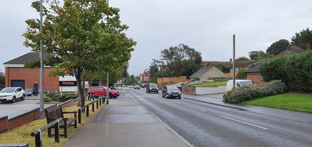
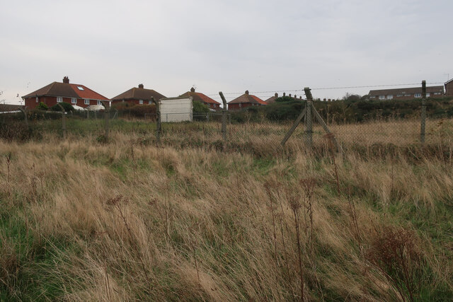
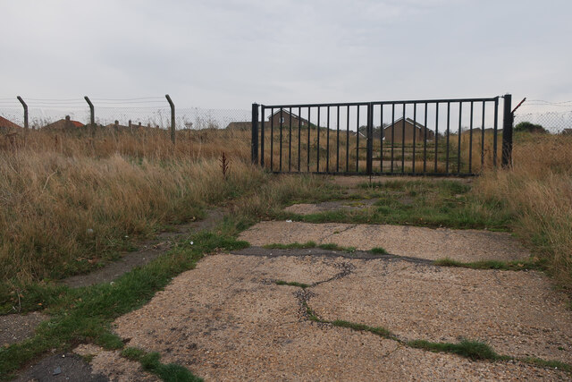
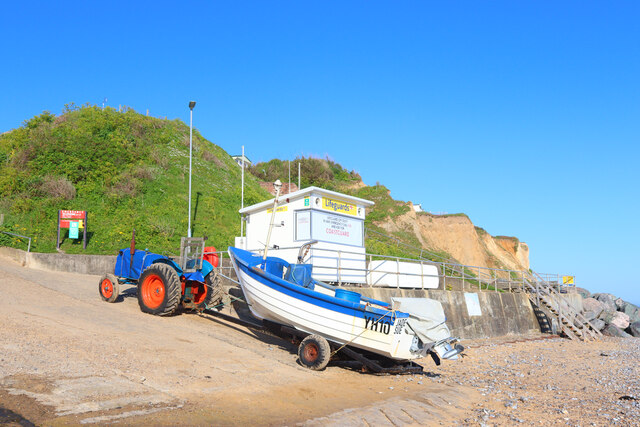
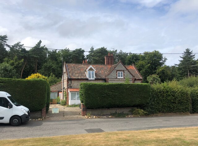
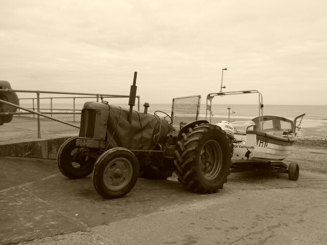
Barn Plantation Images
Images are sourced within 2km of 52.920061/1.2668871 or Grid Reference TG1940. Thanks to Geograph Open Source API. All images are credited.


Barn Plantation is located at Grid Ref: TG1940 (Lat: 52.920061, Lng: 1.2668871)
Administrative County: Norfolk
District: North Norfolk
Police Authority: Norfolk
What 3 Words
///outsize.ferrets.crackling. Near Cromer, Norfolk
Nearby Locations
Related Wikis
Felbrigg Woods
Felbrigg Woods is a 164.6-hectare (407-acre) biological Site of Special Scientific Interest south-west of Cromer in Norfolk. It is the main part of the...
Beacon Hill, Norfolk
Beacon Hill is the highest point in the English county of Norfolk. The hill is located 0.75 miles (1.2 km) south of the village of West Runton on the North...
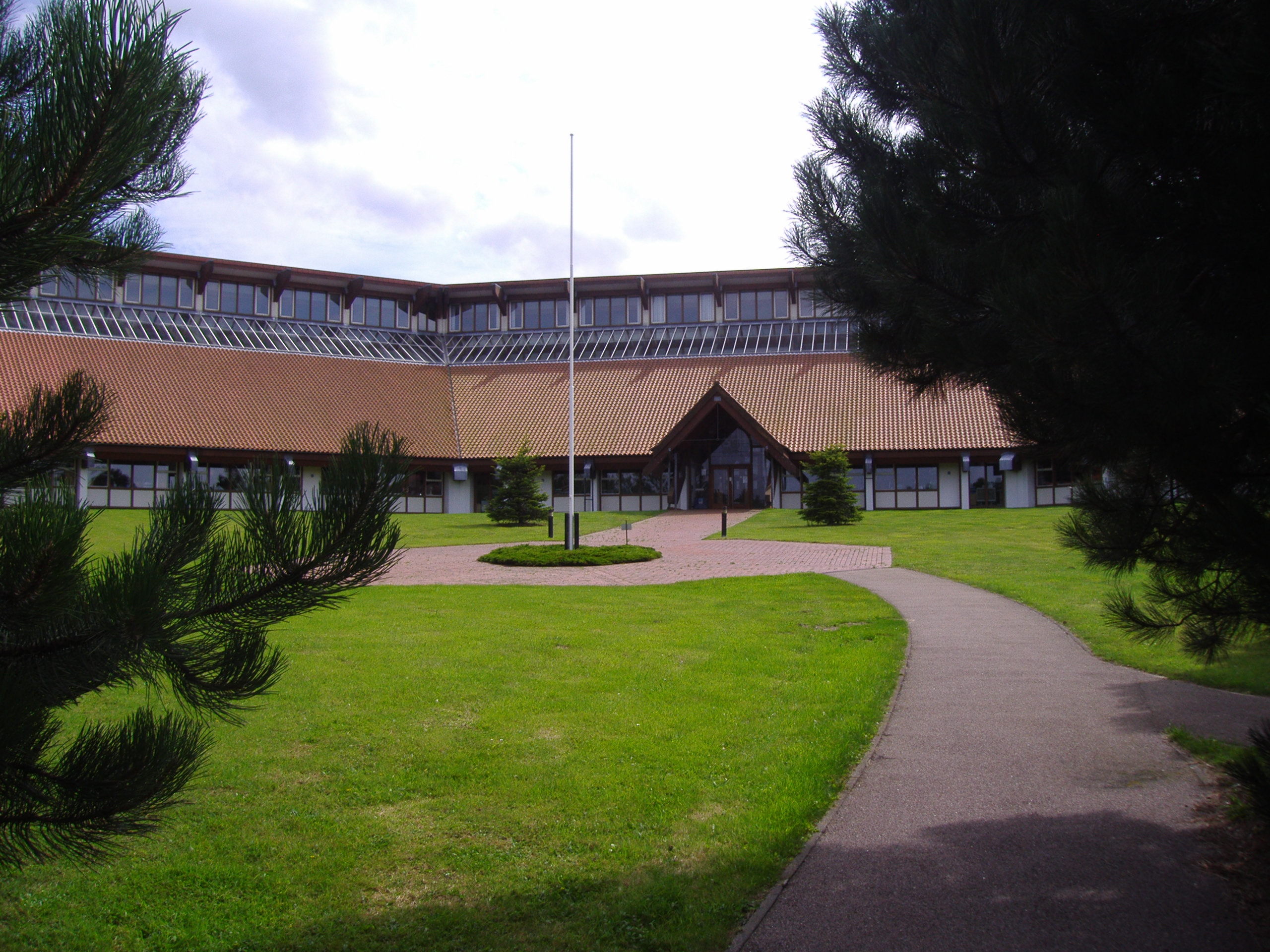
North Norfolk District Council Headquarters
North Norfolk District Council Headquarters is located in Holt road in a prominent position south of the town of Cromer in the English county of Norfolk...

Felbrigg
Felbrigg is a village and civil parish in the English county of Norfolk. The village is 1.7 miles (2.7 km) south-west of Cromer and 20 miles (32 km) north...

East Runton Windmill
East Runton Windmill is a grade II listed tower mill at East Runton, Norfolk, England which has been converted to residential accommodation. == History... ==

Felbrigg Hall
Felbrigg Hall is a 17th-century English country house near the village of that name in Norfolk. Part of a National Trust property, the unaltered 17th-century...

St Margaret's Church, Felbrigg
St Margaret's Church is a Grade II* listed parish church in the Church of England Diocese of Norwich in Felbrigg, Norfolk. == History == The church is...

Runton
Runton is a civil parish in the English county of Norfolk consisting of the villages of East Runton and West Runton. It covers an area of 5.44 km2 (2.10...
Nearby Amenities
Located within 500m of 52.920061,1.2668871Have you been to Barn Plantation?
Leave your review of Barn Plantation below (or comments, questions and feedback).