Blackdale Plantation
Wood, Forest in Norfolk Norwich
England
Blackdale Plantation
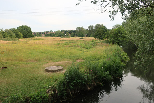
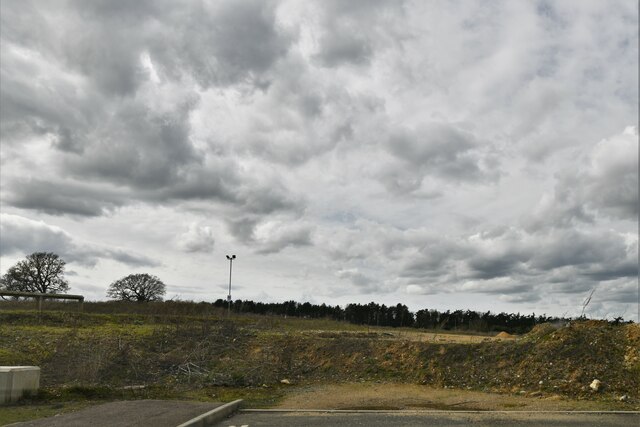
Blackdale Plantation is a picturesque woodland area located in Norfolk, England. Situated in the heart of the county, this plantation is renowned for its sprawling woodlands and diverse range of flora and fauna. Spanning over several acres, it offers a tranquil escape from the bustling city life.
The plantation is characterized by its dense forest of predominantly deciduous trees, including oak, beech, and birch. The lush greenery provides a haven for numerous wildlife species, making it a popular destination for nature enthusiasts and birdwatchers. Visitors can expect to spot a variety of bird species such as woodpeckers, jays, and owls, as well as small mammals like squirrels and rabbits.
As one ventures deeper into the plantation, they will discover a network of well-maintained footpaths and trails, allowing for leisurely walks and hikes. These paths wind through the enchanting woods, offering breathtaking views of the surrounding countryside. The plantation also features a picturesque lake, enhancing its natural beauty and providing a serene spot for visitors to relax and enjoy the peaceful ambiance.
Blackdale Plantation is not only a haven for wildlife but also a valuable resource for the local community. It serves as an important carbon sink, helping combat climate change by absorbing and storing carbon dioxide from the atmosphere. Additionally, the plantation offers educational programs and workshops, teaching visitors about the importance of preserving and conserving natural habitats.
Overall, Blackdale Plantation is a treasured woodland area in Norfolk, offering a tranquil retreat and a chance to connect with nature. Its rich biodiversity, well-maintained trails, and educational initiatives make it a must-visit destination for both locals and tourists alike.
If you have any feedback on the listing, please let us know in the comments section below.
Blackdale Plantation Images
Images are sourced within 2km of 52.624946/1.2445078 or Grid Reference TG1907. Thanks to Geograph Open Source API. All images are credited.


Blackdale Plantation is located at Grid Ref: TG1907 (Lat: 52.624946, Lng: 1.2445078)
Administrative County: Norfolk
District: Norwich
Police Authority: Norfolk
What 3 Words
///winter.decay.courier. Near Cringleford, Norfolk
Nearby Locations
Related Wikis
City Academy Norwich
City Academy Norwich is a secondary school in Norwich, England. It opened in September 2009, replacing Earlham High School. It is located near the University...

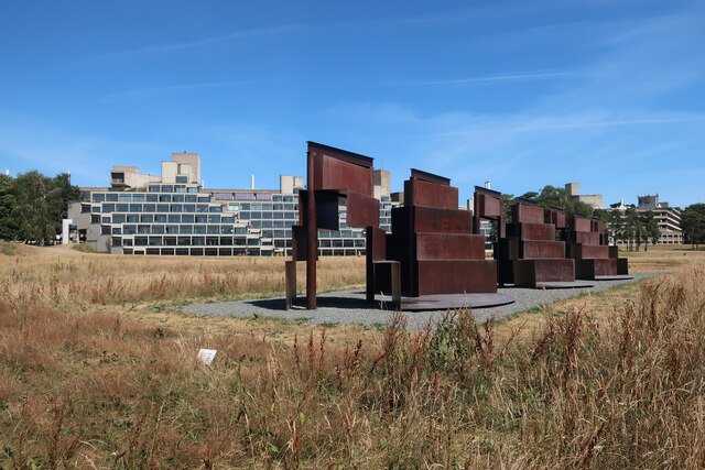
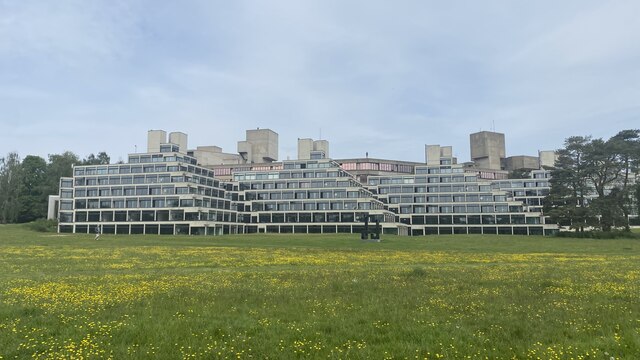
University of East Anglia
The University of East Anglia (UEA) is a public research university in Norwich, England. Established in 1963 on a 320-acre (130-hectare) campus west of...

UEA School of International Development
The School of Global Development (formerly School of International Development and The School of Development Studies) is a department at the University...

Climatic Research Unit
The Climatic Research Unit (CRU) is a component of the University of East Anglia and is one of the leading institutions concerned with the study of natural...
Nearby Amenities
Located within 500m of 52.624946,1.2445078Have you been to Blackdale Plantation?
Leave your review of Blackdale Plantation below (or comments, questions and feedback).