Freethorpe

Settlement in Norfolk Broadland

England

Freethorpe

The unveiling of Wickhampton's new village sign The sign is almost identical to the former sign, seen here <a title="https://www.geograph.org.uk/photo/4292552" href="https://www.geograph.org.uk/photo/4292552">Link</a>
With the exception of the hare in the left spandrel which can be found on the interior wall of the church.
The church of St Andrew dominates the left side of the picture with Stone’s mill dominating the right. Between them is probably a Viking longship on Breydon Water. Webster’s Dairy and two milk churns represent a family business, been and gone. A grey heron, a bird seen here daily completes the picture.
In the spandrel on the right is a hand holding a bleeding heart which related to the 13th century effigies of Sir George and Lady Isabella Gerbrygge. Sir George who served as a Bailiff of Great Yarmouth in the 1270s, is holding a heart in his hand. The truth behind why, is lost but it is likely that he is demonstrating his love for his wife and died of a broken heart.
More difficult to believe is the legend which grew over the intervening 700 years and it is said that two brothers owned neighbouring parishes. They argued so vehemently over the parish boundaries that they came to blows and in a rage, they tore each other's hearts out. One of the parishes was then called Hell Fire Gate, which over time became Halvergate. The other parish was henceforth known as Wicked Hampton, which over time became Wickhampton.
The unveiling of Wickhampton's new village sign Credit: Adrian S Pye

Freethorpe is a small village located in the county of Norfolk, England. Situated on the eastern bank of the River Yare, it lies about 12 miles southeast of the city of Norwich. With a population of around 1,000 residents, it is a tight-knit and close community.

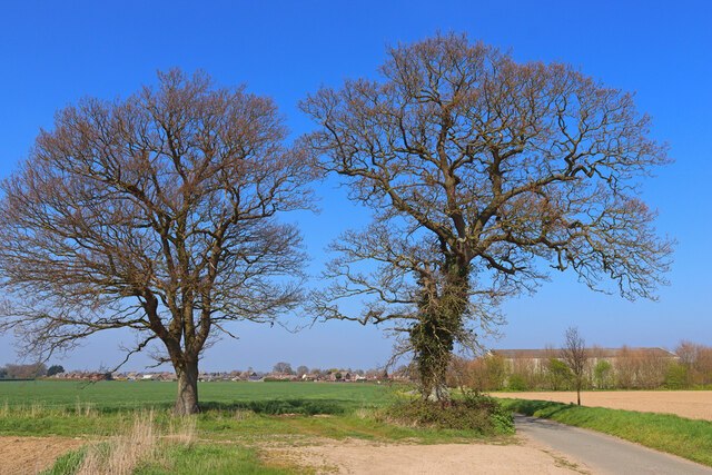
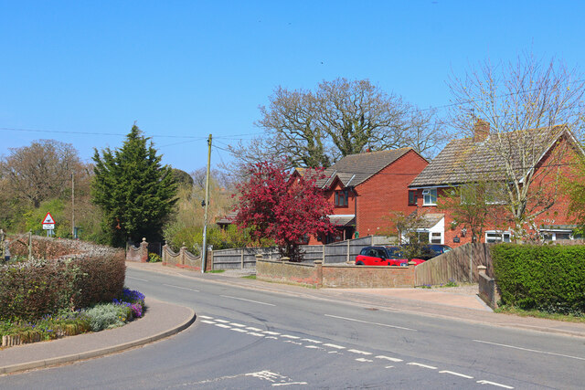
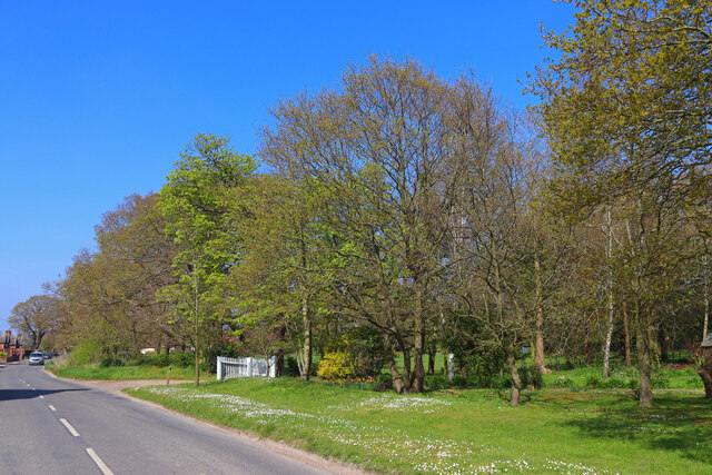
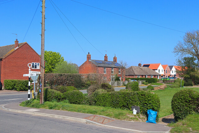
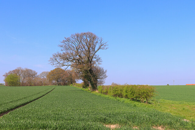
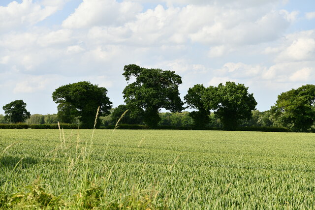
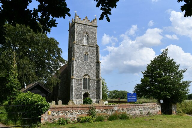
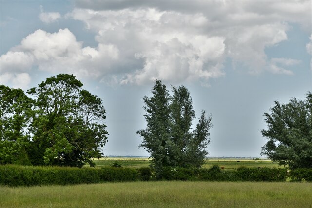
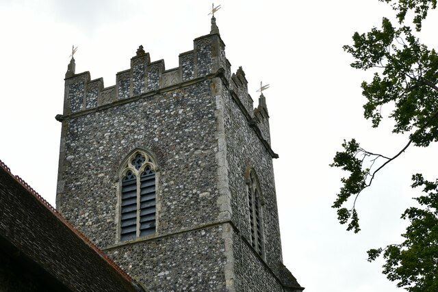
The village is known for its picturesque surroundings, surrounded by lush green fields and meandering waterways. It boasts a charming mix of traditional thatched cottages and more modern houses, giving it a unique character. The local church, St. James the Great, dominates the village skyline with its prominent tower.

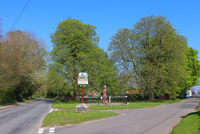
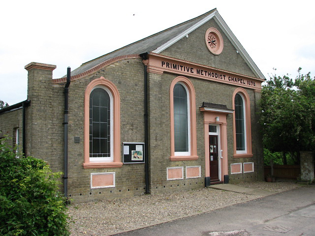
Freethorpe offers a range of amenities to its residents. The village has a primary school, providing education for children between the ages of 4 and 11. There is also a village hall that hosts various community events, including social gatherings and local clubs.

The village is well-connected to nearby towns and cities. The A47 road runs just south of Freethorpe, providing easy access to Norwich and Great Yarmouth. Public transportation is available through regular bus services, linking the village to these nearby destinations.

The surrounding area offers plenty of opportunities for outdoor activities. The River Yare is ideal for boating and fishing enthusiasts, while the nearby countryside provides scenic walking and cycling routes.

Overall, Freethorpe is a peaceful and idyllic village, offering a close-knit community, beautiful surroundings, and convenient access to nearby amenities.

If you have any feedback on the listing, please let us know in the comments section below.
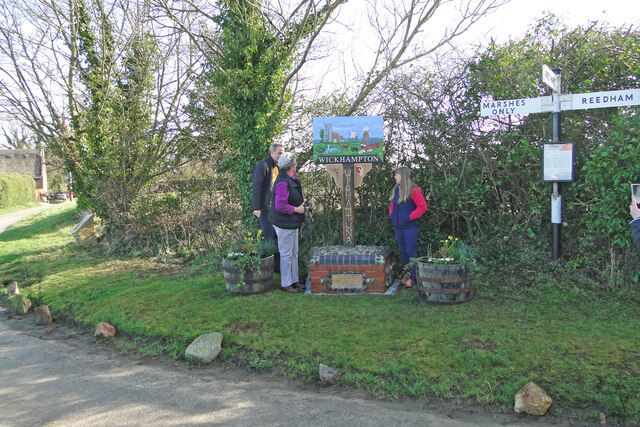
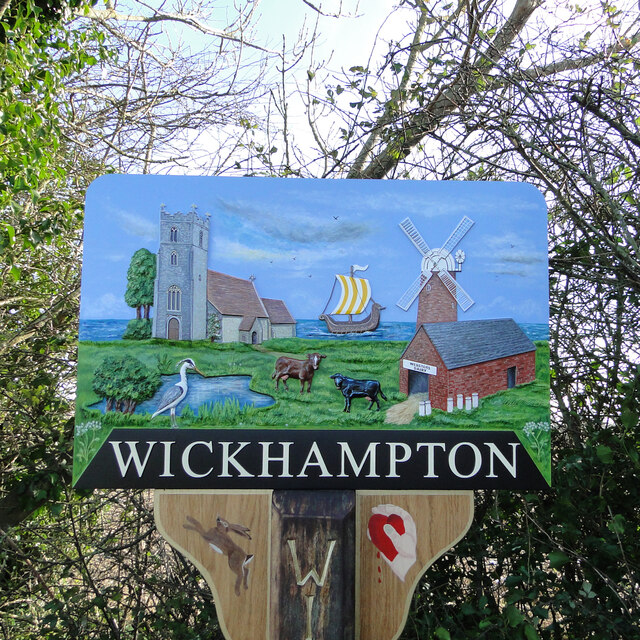
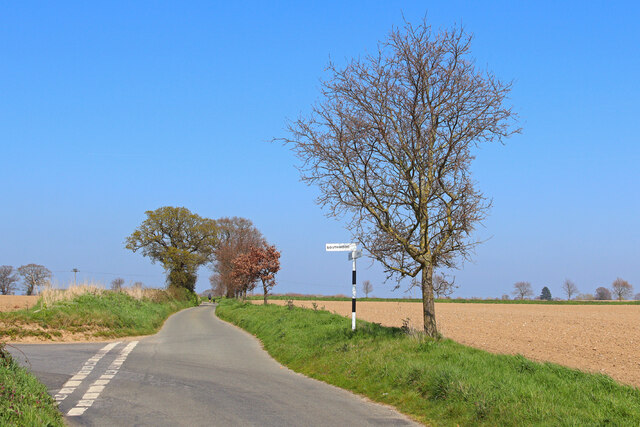
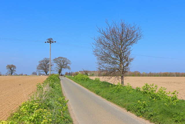
Freethorpe Images

Images are sourced within 2km of 52.592534/1.556228 or Grid Reference TG4005. Thanks to Geograph Open Source API. All images are credited.

The unveiling of Wickhampton's new village sign The sign is almost identical to the former sign, seen here <a title="https://www.geograph.org.uk/photo/4292552" href="https://www.geograph.org.uk/photo/4292552">Link</a>
With the exception of the hare in the left spandrel which can be found on the interior wall of the church.
The church of St Andrew dominates the left side of the picture with Stone’s mill dominating the right. Between them is probably a Viking longship on Breydon Water. Webster’s Dairy and two milk churns represent a family business, been and gone. A grey heron, a bird seen here daily completes the picture.
In the spandrel on the right is a hand holding a bleeding heart which related to the 13th century effigies of Sir George and Lady Isabella Gerbrygge. Sir George who served as a Bailiff of Great Yarmouth in the 1270s, is holding a heart in his hand. The truth behind why, is lost but it is likely that he is demonstrating his love for his wife and died of a broken heart.
More difficult to believe is the legend which grew over the intervening 700 years and it is said that two brothers owned neighbouring parishes. They argued so vehemently over the parish boundaries that they came to blows and in a rage, they tore each other's hearts out. One of the parishes was then called Hell Fire Gate, which over time became Halvergate. The other parish was henceforth known as Wicked Hampton, which over time became Wickhampton.
The unveiling of Wickhampton's new village sign
The sign is almost identical to the former sign, seen here Link With the exception of the hare in the left spandrel which can be found on the interior wall of the church. The church of St Andrew dominates the left side of the picture with Stone’s mill dominating the right. Between them is probably a Viking longship on Breydon Water. Webster’s Dairy and two milk churns represent a family business, been and gone. A grey heron, a bird seen here daily completes the picture. In the spandrel on the right is a hand holding a bleeding heart which related to the 13th century effigies of Sir George and Lady Isabella Gerbrygge. Sir George who served as a Bailiff of Great Yarmouth in the 1270s, is holding a heart in his hand. The truth behind why, is lost but it is likely that he is demonstrating his love for his wife and died of a broken heart. More difficult to believe is the legend which grew over the intervening 700 years and it is said that two brothers owned neighbouring parishes. They argued so vehemently over the parish boundaries that they came to blows and in a rage, they tore each other's hearts out. One of the parishes was then called Hell Fire Gate, which over time became Halvergate. The other parish was henceforth known as Wicked Hampton, which over time became Wickhampton.
Wickhampton's new village sign See also <a title="https://www.geograph.org.uk/photo/7105782" href="https://www.geograph.org.uk/photo/7105782">Link</a>
The sign is almost identical to the former sign, seen here <a title="https://www.geograph.org.uk/photo/4292552" href="https://www.geograph.org.uk/photo/4292552">Link</a> with the exception of the hare in the left spandrel which can be found on the interior wall of the church.
The church of St Andrew dominates the left side of the picture with Stone’s mill dominating the right. Between them is probably a Viking longship on Breydon Water. Webster’s Dairy and two milk churns represent a family business, been and gone. A grey heron, a bird seen here daily, completes the picture.
In the spandrel on the right is a hand holding a bleeding heart, which relates to the 13th century effigies of Sir George and Lady Isabella Gerbrygge. Sir George, who served as a Bailiff of Great Yarmouth in the 1270s, is holding a heart in his hand. The truth behind why, is lost but it is likely that he is demonstrating his love for his wife and having died of a broken heart.
More difficult to believe is the legend which grew over the intervening 700 years, it is said that two brothers owned neighbouring parishes. They argued so vehemently over the parish boundaries that they came to blows and in a rage, they tore each other's hearts out. One of the parishes was then called Hell Fire Gate, which over time became Halvergate. The other parish was henceforth known as Wicked Hampton, which over time became Wickhampton.
Wickhampton's new village sign
See also Link The sign is almost identical to the former sign, seen here Link with the exception of the hare in the left spandrel which can be found on the interior wall of the church. The church of St Andrew dominates the left side of the picture with Stone’s mill dominating the right. Between them is probably a Viking longship on Breydon Water. Webster’s Dairy and two milk churns represent a family business, been and gone. A grey heron, a bird seen here daily, completes the picture. In the spandrel on the right is a hand holding a bleeding heart, which relates to the 13th century effigies of Sir George and Lady Isabella Gerbrygge. Sir George, who served as a Bailiff of Great Yarmouth in the 1270s, is holding a heart in his hand. The truth behind why, is lost but it is likely that he is demonstrating his love for his wife and having died of a broken heart. More difficult to believe is the legend which grew over the intervening 700 years, it is said that two brothers owned neighbouring parishes. They argued so vehemently over the parish boundaries that they came to blows and in a rage, they tore each other's hearts out. One of the parishes was then called Hell Fire Gate, which over time became Halvergate. The other parish was henceforth known as Wicked Hampton, which over time became Wickhampton.
Road Junction Norwich Road, near Limpenhoe.
Road Junction
Norwich Road, near Limpenhoe.
Old Chapel Road Straight road near Freethorpe.
Old Chapel Road
Straight road near Freethorpe.
Old Chapel Road Trees by the road.
Old Chapel Road
Trees by the road.
Reedham Road Road junction in Freethorpe.
Reedham Road
Road junction in Freethorpe.
Road in Freethorpe Verge by the main road in Freethorpe.
Road in Freethorpe
Verge by the main road in Freethorpe.
Palmers Lane Road junction in Freethorpe.
Palmers Lane
Road junction in Freethorpe.
Freethorpe Road Trees and fields of crops near Freethorpe.
Freethorpe Road
Trees and fields of crops near Freethorpe.
Tunstall Road Minor road on the edge of Halvergate.
Tunstall Road
Minor road on the edge of Halvergate.
Village Sign Village sign and war memorial in Halvergate.
Village Sign
Village sign and war memorial in Halvergate.
Halvergate: Crop
Halvergate: Crop
Wickhampton, St. Andrew's Church: Western aspect
Freethorpe: The Mill Road/ Church Road crossroads
Halvergate, St Peter and St Paul's Church: South western aspect
Halvergate, St Peter and St Paul's Church: A quiet corner of the churchyard
Wickhampton, St. Andrew's Church: Looking east from the churchyard
Wickhampton, St. Andrew's Church: The tower
Show me another place!

Freethorpe is located at Grid Ref: TG4005 (Lat: 52.592534, Lng: 1.556228)

Administrative County: Norfolk

District: Broadland

Police Authority: Norfolk

What 3 Words

///landlady.barstool.obstruct. Near Reedham, Norfolk

Nearby Locations

Freethorpe

Related Wikis

Freethorpe

Freethorpe is a village and civil parish in the English of Norfolk. The village is located 7.2 miles (11.6 km) south-west of Great Yarmouth and 11 miles...

Southwood, Norfolk

Southwood is a hamlet and former civil parish, 10 miles (16 km) east of Norwich, now in the parish of Cantley, Limpenhoe and Southwood, in the Broadland...

St Mary's Church, Moulton

St Mary's Church is a redundant Anglican round-tower church near the village of Moulton St Mary, Norfolk, England. It is recorded in the National Heritage...

Limpenhoe

Limpenhoe is a village and former civil parish, now in the Cantley, Limpenhoe and Southwood, in the Broadland district, in the county of Norfolk, England...

Halvergate

Halvergate is a village and civil parish in the English county of Norfolk, north of Reedham, between the Rivers Bure and Yare, within The Broads. To the...

Limpenhoe Meadows

Limpenhoe Meadows is a 12-hectare (30-acre) biological Site of Special Scientific Interest west of Reedham in Norfolk. It is part of the Broadland Ramsar...

Moulton St Mary

Moulton St Mary is a village and former civil parish, now in the parish of Beighton, in the Broadland district, in the county of Norfolk, England. It is...

Tunstall, Norfolk

Tunstall is a village and former civil parish, now in the parish of Halvergate, in the Broadland district of Norfolk, England. It lies some 14 miles (22...

Nearby Amenities

Located within 500m of 52.592534,1.556228
Freethorpe
Created By: Potlatch 0.10b
Place: village
Lat/Long: 52.5912833/1.5612511
Freethorpe Shop
Addr City: Norwich
Addr Housenumber: 87
Addr Postcode: NR13 3NY
Addr Street: The Green
Addr Village: Freethorpe
Shop: convenience
Lat/Long: 52.5925818/1.5560327
Bus Stop
Sutton Crescent, adj
Naptan AtcoCode: 2900F2010
Naptan Bearing: W
Naptan BusStopType: CUS
Naptan CommonName: Sutton Crescent
Naptan Indicator: adj
Naptan Landmark: Sutton Crescent
Naptan Locality: Freethorpe
Naptan NaptanCode: nfoaptpa
Naptan ShortCommonName: Sutton Crescent
Naptan Street: Palmers Lane
Naptan Verified: no
Source: naptan_import
Lat/Long: 52.5927432/1.5569338
Bus Stop
Sutton Crescent, opp
Naptan AtcoCode: 2900F2011
Naptan Bearing: W
Naptan BusStopType: CUS
Naptan CommonName: Sutton Crescent
Naptan Indicator: opp
Naptan Landmark: Sutton Crescent
Naptan Locality: Freethorpe
Naptan NaptanCode: nfoaptpd
Naptan ShortCommonName: Sutton Crescent
Naptan Street: Palmers Lane
Naptan Verified: no
Source: naptan_import
Lat/Long: 52.5928084/1.5571607
Bus Stop
pump, adj
Naptan AtcoCode: 2900F203
Naptan Bearing: NW
Naptan BusStopType: CUS
Naptan CommonName: pump
Naptan Indicator: adj
Naptan Landmark: pump
Naptan Locality: Freethorpe
Naptan NaptanCode: nfoaptpj
Naptan ShortCommonName: pump
Naptan Street: The Green
Naptan Verified: no
Source: naptan_import
Lat/Long: 52.5917978/1.5563698
Bus Stop
pump, opp
Naptan AtcoCode: 2900F207
Naptan Bearing: SE
Naptan BusStopType: CUS
Naptan CommonName: pump
Naptan Indicator: opp
Naptan Landmark: pump
Naptan Locality: Freethorpe
Naptan NaptanCode: nfoaptpw
Naptan ShortCommonName: pump
Naptan Street: The Green
Naptan Verified: no
Source: naptan_import
Lat/Long: 52.5917646/1.5565739
Lower Green
Place: locality
Source: NPE
Lat/Long: 52.5962208/1.5575697
Post Box
Operator: Royal Mail
Post Box Type: wall
Lat/Long: 52.5926122/1.5560757
Entrance: yes
Lat/Long: 52.5940252/1.5549087
Entrance: main
Lat/Long: 52.5938896/1.5549183
Give Way
Lat/Long: 52.5926965/1.5572604
Give Way
Lat/Long: 52.5922085/1.5577641
The data included in this document is from www.openstreetmap.org. The data is made available under ODbL.

Have you been to Freethorpe?

Leave your review of Freethorpe below (or comments, questions and feedback).