Pear Head Plantation
Wood, Forest in Norfolk South Norfolk
England
Pear Head Plantation
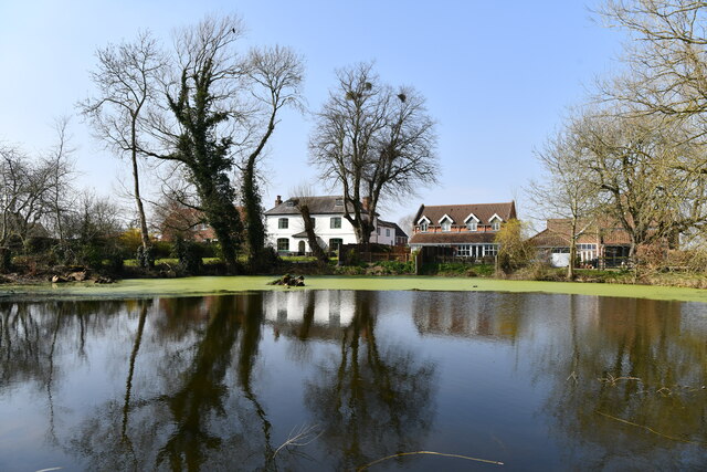
Pear Head Plantation is a historic woodland estate located in Norfolk, England. Situated within the serene countryside, this picturesque plantation covers a sprawling area of lush woodlands and enchanting forests. The plantation is named after the distinctive shape of the nearby hill, resembling a pear.
The woodland estate boasts a diverse range of tree species, including oak, beech, and birch, creating a rich and vibrant ecosystem. The forest floor is adorned with an array of wildflowers, ferns, and moss, adding to the natural beauty of the surroundings.
Pear Head Plantation is not only renowned for its scenic beauty but also for its historical significance. The estate has a long and storied past, dating back several centuries. It was once a thriving agricultural land, with evidence of farming activities still visible in the form of old stone walls and remnants of farm buildings.
Today, the plantation offers a tranquil retreat for nature lovers, hikers, and birdwatchers. The extensive network of walking trails allows visitors to explore the woodland at their own pace, immersing themselves in the peaceful ambiance and taking in the breathtaking views.
The plantation also serves as a valuable habitat for a variety of wildlife, including deer, foxes, and a diverse range of bird species. It has become a popular spot for birdwatching enthusiasts, who flock to observe and document the numerous feathered inhabitants.
In conclusion, Pear Head Plantation is a captivating woodland estate in Norfolk, boasting stunning natural landscapes, a rich history, and a thriving ecosystem. It offers a peaceful sanctuary for those seeking solace in nature, making it a beloved destination for both locals and tourists alike.
If you have any feedback on the listing, please let us know in the comments section below.
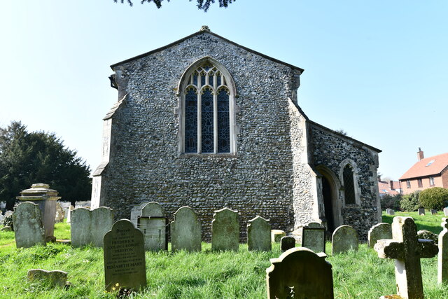
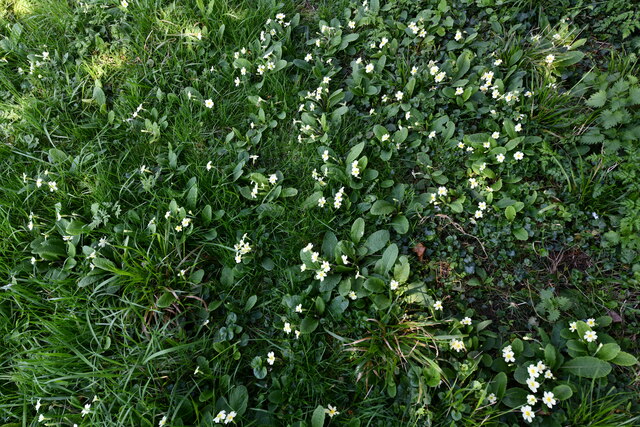
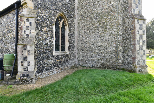
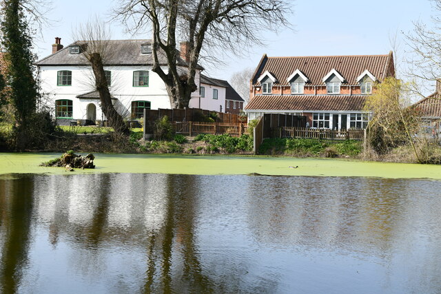
Pear Head Plantation Images
Images are sourced within 2km of 52.576748/1.2310985 or Grid Reference TG1902. Thanks to Geograph Open Source API. All images are credited.
Pear Head Plantation is located at Grid Ref: TG1902 (Lat: 52.576748, Lng: 1.2310985)
Administrative County: Norfolk
District: South Norfolk
Police Authority: Norfolk
What 3 Words
///fabricate.playfully.provider. Near Mulbarton, Norfolk
Nearby Locations
Related Wikis

Mulbarton, Norfolk
Mulbarton is a village and civil parish located south of Norwich in the English county of Norfolk. It covers an area of 5.34 km2 (2.06 sq mi).The place...

Swardeston
Swardeston is a village four miles (6 km) south of Norwich in Norfolk, England, on high ground above the Tas valley. It covers an area of 3.95 km2 (1.53...

East Carleton
East Carleton is a village and civil parish in the English county of Norfolk. The village is located 6.3 kilometres (3.9 mi) east of nearby Wymondham and...

Norwich CEYMS F.C.
Norwich Church of England Young Men's Society Football Club, commonly called Norwich CEYMS, is a football club based in Swardeston, near Norwich, in Norfolk...
Mulbarton Wanderers F.C.
Mulbarton Wanderers Football Club is a football club based in Mulbarton, Norfolk. The men's first team are currently members in the Eastern Counties League...

Intwood
Intwood is a village and former civil parish, now in the parish of Keswick and Intwood, in the South Norfolk district, in the county of Norfolk, England...

Hethersett railway station
Hethersett was a railway station near Hethersett, Norfolk. == History == The Bill for the Norwich & Brandon Railway (N&BR) received Royal Assent on 10...

Bracon Ash
Bracon Ash is a village and civil parish in the South Norfolk district of Norfolk, England. == History == Bracon Ash's name is of Anglo-Saxon origin and...
Nearby Amenities
Located within 500m of 52.576748,1.2310985Have you been to Pear Head Plantation?
Leave your review of Pear Head Plantation below (or comments, questions and feedback).