Freeland Corner

Settlement in Norfolk Broadland

England

Freeland Corner

Old Milepost by the A1067, Fakenham Road, Taverham Cast iron post by the A1067, in parish of Taverham (Broadland District), Fakenham Road, opposite No. 230, on the verge at rear of footpath against hedge, on West side of road. Fakenham ci n-top, erected by the Norwich & Fakenham turnpike trust in the 19th century. 

Inscription reads:-
: FAKENHAM / 19 : : TO NORWICH / 5 / MILES : : TAVERHAM / 5 :

Norfolk HER.
NHER Number: 56411 <span class="nowrap"><a title="https://www.heritagegateway.org.uk/Gateway/Results_Single.aspx?uid=MNF62817&resourceID=1002" rel="nofollow ugc noopener" href="https://www.heritagegateway.org.uk/Gateway/Results_Single.aspx?uid=MNF62817&resourceID=1002">Link</a><img style="margin-left:2px;" alt="External link" title="External link - shift click to open in new window" src="https://s1.geograph.org.uk/img/external.png" width="10" height="10"/></span>

Milestone Society National ID: NO_NF05
Old Milepost by the A1067, Fakenham Road, Taverham Credit: Alan Lake

Freeland Corner is a small, rural village located in the county of Norfolk, England. Situated approximately 10 miles south of the city of Norwich, it is surrounded by picturesque countryside and offers a tranquil atmosphere for its residents.

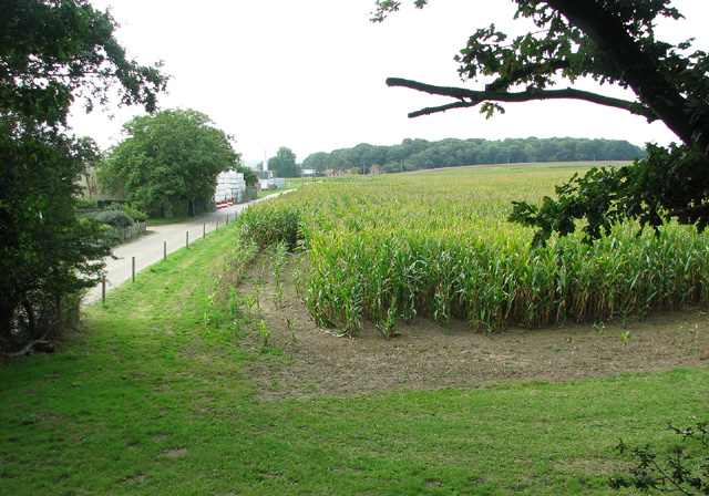
The village is home to a tight-knit community, with a population of around 500 people. The residents of Freeland Corner primarily live in charming cottages and farmhouses, giving the village a traditional and rustic feel. The landscape is dotted with expansive fields, providing ample space for agriculture and farming activities.

Freeland Corner is well-connected to nearby towns and cities through a network of roads, making it easily accessible for both residents and visitors. Despite its rural setting, the village benefits from various amenities, including a local pub, a primary school, and a village hall that hosts community events.

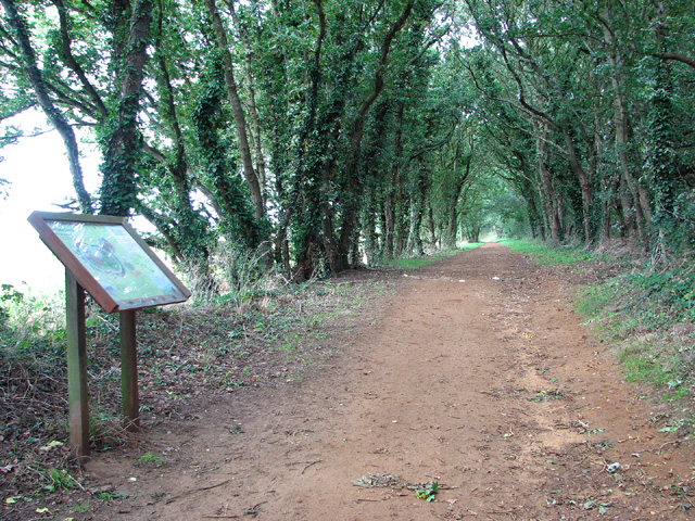
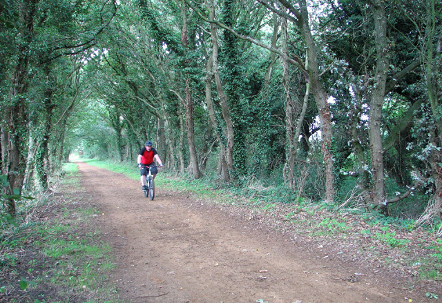
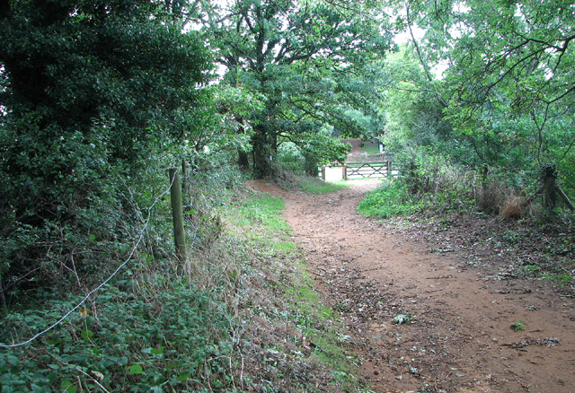
For nature enthusiasts, Freeland Corner offers plenty of opportunities to explore the surrounding countryside. There are several walking and cycling routes that allow visitors to discover the area's abundant wildlife and natural beauty. The village is also close to the Norfolk Broads, a renowned network of rivers and lakes, which further enhances its appeal.

Overall, Freeland Corner is a peaceful and idyllic destination that appeals to those seeking a slower pace of life and a close-knit community in the heart of Norfolk's countryside.

If you have any feedback on the listing, please let us know in the comments section below.

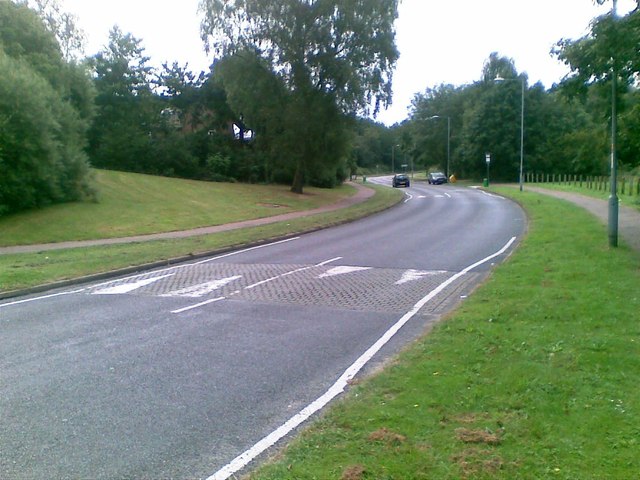
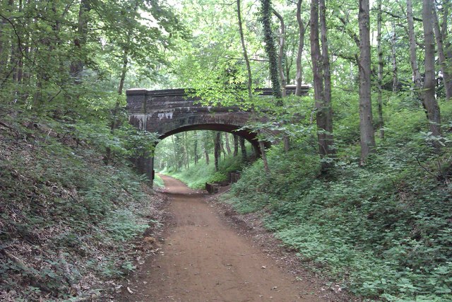
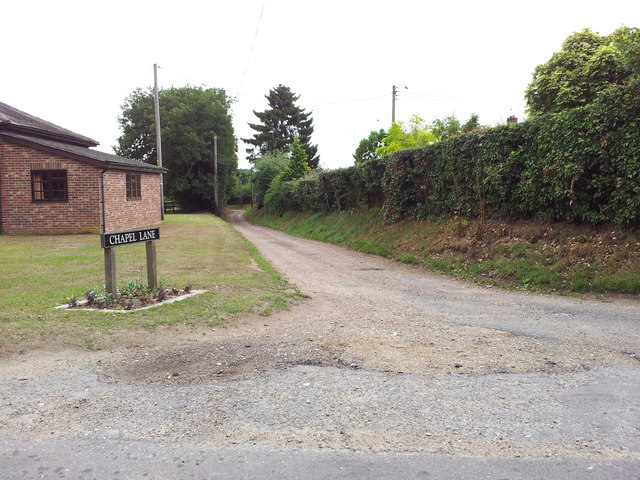
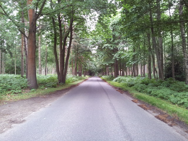
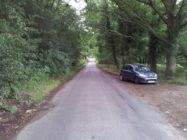
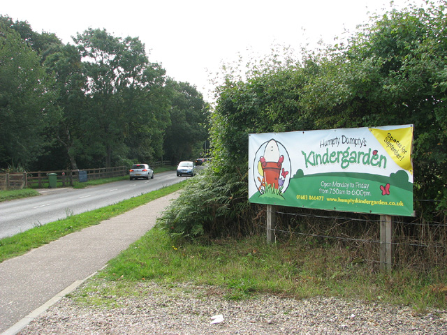
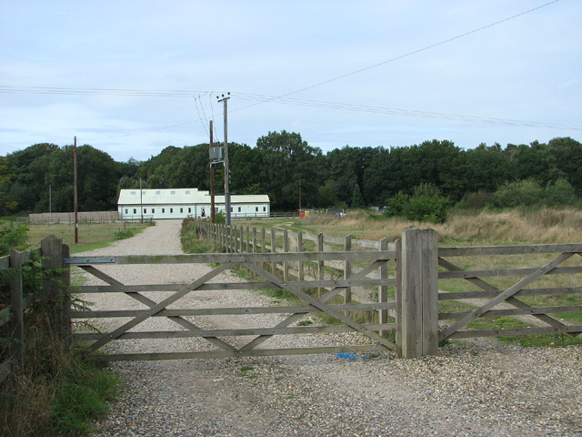
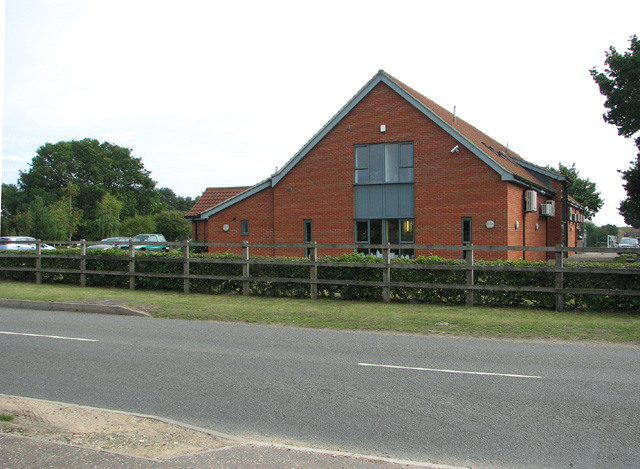
Freeland Corner Images

Images are sourced within 2km of 52.698565/1.1952692 or Grid Reference TG1616. Thanks to Geograph Open Source API. All images are credited.

Old Milepost by the A1067, Fakenham Road, Taverham Cast iron post by the A1067, in parish of Taverham (Broadland District), Fakenham Road, opposite No. 230, on the verge at rear of footpath against hedge, on West side of road. Fakenham ci n-top, erected by the Norwich & Fakenham turnpike trust in the 19th century. 

Inscription reads:-
: FAKENHAM / 19 : : TO NORWICH / 5 / MILES : : TAVERHAM / 5 :

Norfolk HER.
NHER Number: 56411 <span class="nowrap"><a title="https://www.heritagegateway.org.uk/Gateway/Results_Single.aspx?uid=MNF62817&resourceID=1002" rel="nofollow ugc noopener" href="https://www.heritagegateway.org.uk/Gateway/Results_Single.aspx?uid=MNF62817&resourceID=1002">Link</a><img style="margin-left:2px;" alt="External link" title="External link - shift click to open in new window" src="https://s1.geograph.org.uk/img/external.png" width="10" height="10"/></span>

Milestone Society National ID: NO_NF05
Old Milepost by the A1067, Fakenham Road, Taverham
Cast iron post by the A1067, in parish of Taverham (Broadland District), Fakenham Road, opposite No. 230, on the verge at rear of footpath against hedge, on West side of road. Fakenham ci n-top, erected by the Norwich & Fakenham turnpike trust in the 19th century. Inscription reads:- : FAKENHAM / 19 : : TO NORWICH / 5 / MILES : : TAVERHAM / 5 : Norfolk HER. NHER Number: 56411 LinkExternal link Milestone Society National ID: NO_NF05
Spider web, Thorpe Marriott Covered in water droplets on a misty morning.
Spider web, Thorpe Marriott
Covered in water droplets on a misty morning.
A1067 Fakenham Road At the junction with Beech Avenue
A1067 Fakenham Road
At the junction with Beech Avenue
Field used for car boot sales
Drewray Woods Public Footpath/Track The photo depicts the condition of the Footpath/Track which enters Drewray Wood from Dog Lane.
Drewray Woods Public Footpath/Track
The photo depicts the condition of the Footpath/Track which enters Drewray Wood from Dog Lane.
Pendlesham Rise, Thorpe Marriott
Silver Fox, Taverham
Marriots Way - Taverham Photograph of a road bridge across Marriot's Way. It's a disused rail track, now a foot and cycle path that runs from Norwich to Reepham.
Marriots Way - Taverham
Photograph of a road bridge across Marriot's Way. It's a disused rail track, now a foot and cycle path that runs from Norwich to Reepham.
Chapel Lane, Felthorpe
Road through Gilham's Heath Plantation
Fir Covert Road, Taverham
View towards Humpty Dumpty's kindergarden, Taverham
Taverham veterinary clinic
Mariott's Way by Freeland Corner
Access road to Spring Farm
Cyclist on Marriott's Way
To Freeland Corner on Marriott's Way
Show me another place!

Freeland Corner is located at Grid Ref: TG1616 (Lat: 52.698565, Lng: 1.1952692)

Administrative County: Norfolk

District: Broadland

Police Authority: Norfolk

What 3 Words

///dial.indulgent.covenants. Near Horsford, Norfolk

Related Wikis

1966 Felthorpe Trident crash

On 3 June 1966, a newly built Hawker Siddeley Trident jetliner crashed during a pre-delivery test flight near the village of Felthorpe, Norfolk, England...

Taverham High School

Taverham High School is a secondary school and sixth form with academy status, located in Taverham in the English county of Norfolk. As well as serving...

Taverham

Taverham is a village and civil parish in Norfolk, in England. It is approximately 5 miles (8 km) north-west of Norwich. Taverham sits on the River Wensum...

Thorpe Marriott

Thorpe Marriott is a residential area in Norfolk, England covering part of Taverham and Drayton parishes. Much of the housing was built in the latter part...

Nearby Amenities

Located within 500m of 52.698565,1.1952692
Crossing
Bicycle: yes
Crossing: unmarked
Lat/Long: 52.7024502/1.1961026
Artwork Type: sculpture
Description: 7 mile marker post
Tourism: artwork
Lat/Long: 52.7015895/1.1973924
Bench
Lat/Long: 52.6969016/1.2019864
Crossing
Lat/Long: 52.6963395/1.1925129
Crossing
Lat/Long: 52.6961623/1.1925401
Crossing
Lat/Long: 52.6967272/1.1936513
Crossing
Lat/Long: 52.6967576/1.1934894
Crossing
Lat/Long: 52.695858/1.1930983
Crossing
Lat/Long: 52.6958274/1.1932707
Fixme: Unconfirmed but suspected. Check on ground.
Marker: yes
Utility: gas
Lat/Long: 52.700889/1.1917125
Fixme: continues, approximate locations
Power: pole
Lat/Long: 52.7014244/1.1983049
Fixme: continues, approximate locations. Not on bing yet (aug2023)
Power: pole
Lat/Long: 52.7010321/1.1963762
The data included in this document is from www.openstreetmap.org. The data is made available under ODbL.

Have you been to Freeland Corner?

Leave your review of Freeland Corner below (or comments, questions and feedback).