Hill Plantation
Wood, Forest in Norfolk Broadland
England
Hill Plantation
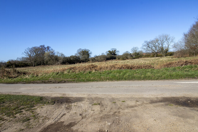
Hill Plantation, located in Norfolk, is a picturesque woodland area known for its rich biodiversity and natural beauty. The plantation covers an extensive area of lush greenery, featuring dense forests and rolling hills that offer a serene and tranquil environment for visitors to explore.
The woodland is primarily composed of various species of trees, including oak, beech, and pine, which create a diverse and vibrant ecosystem. These trees provide habitat for a wide range of wildlife, such as deer, foxes, and numerous bird species, making Hill Plantation a popular spot among nature enthusiasts and birdwatchers.
The plantation offers several well-marked trails that wind their way through the forest, providing opportunities for hiking, walking, and cycling. These trails allow visitors to fully immerse themselves in the natural surroundings, showcasing the stunning views of the woodlands and the surrounding countryside.
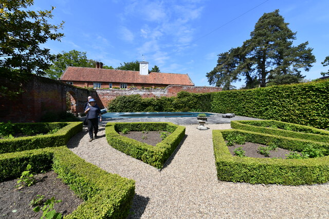
In addition to its natural beauty, Hill Plantation also boasts historical significance. It was once part of an ancient royal hunting ground and has a rich cultural heritage dating back centuries. The plantation is home to a few historic ruins, including an old hunting lodge, which adds to the charm and allure of the area.
Overall, Hill Plantation in Norfolk is a haven for nature lovers and history enthusiasts alike. Its diverse flora and fauna, coupled with its tranquil ambiance, make it an ideal destination for those seeking solace in the midst of nature. Whether one wishes to explore the woodland trails, observe wildlife, or simply enjoy the scenic beauty, Hill Plantation offers a unique and enriching experience for all.
If you have any feedback on the listing, please let us know in the comments section below.
Hill Plantation Images
Images are sourced within 2km of 52.786107/1.2439302 or Grid Reference TG1825. Thanks to Geograph Open Source API. All images are credited.


Hill Plantation is located at Grid Ref: TG1825 (Lat: 52.786107, Lng: 1.2439302)
Administrative County: Norfolk
District: Broadland
Police Authority: Norfolk
What 3 Words
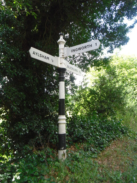
///sulky.wrong.ribcage. Near Aylsham, Norfolk
Nearby Locations
Related Wikis

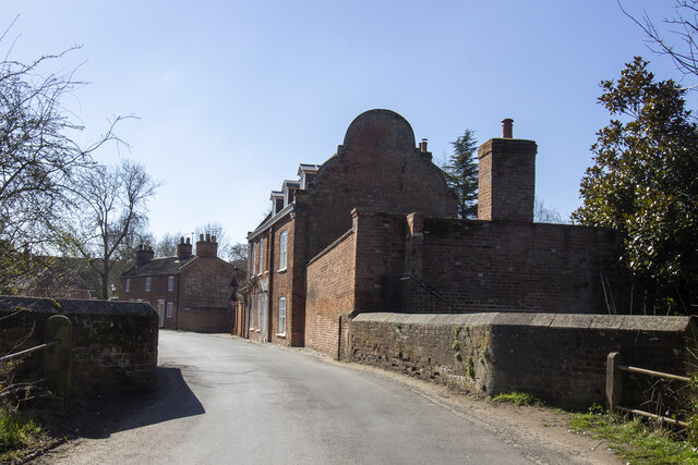
Cawston Road Mill, Aylsham
Cawston Road Mill is a tower mill at Aylsham, Norfolk, England which has been truncated and converted for use as a holiday home. == History == Cawston...

Aylsham South railway station
Aylsham South railway station served the town of Aylsham in Norfolk from 1880 to 1981. The period station buildings were subsequently demolished in 1990...

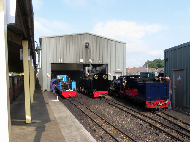
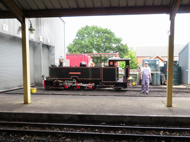
Aylsham railway station
Aylsham railway station is located in the town of Aylsham in Norfolk and is the northern terminus of the Bure Valley Railway, a narrow gauge operation...

Aylsham
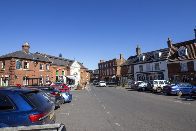
Aylsham ( or ) is a historic market town and civil parish on the River Bure in north Norfolk, England, nearly 9 mi (14 km) north of Norwich. The river...

Aylsham Town Hall
Aylsham Town Hall is a municipal building in the Market Place in Aylsham, Norfolk, England. The structure, which accommodates the offices and meeting place...

Church of St Michael, Aylsham
The Church of St Michael and All Angels, Aylsham, Norfolk, is a church of medieval origins that was built in the 14th century under the patronage of John...

Aylsham Bypass Tunnel
The Aylsham Bypass Tunnel is the only railway tunnel in Norfolk, England currently open to trains. It carries the narrow gauge Bure Valley Railway under...

Aylsham High School
Aylsham High School is a secondary school in the market town of Aylsham north of Norwich, in the English county of Norfolk. It has around 1,000 pupils...
Nearby Amenities
Located within 500m of 52.786107,1.2439302Have you been to Hill Plantation?
Leave your review of Hill Plantation below (or comments, questions and feedback).