Pierceley Wood
Wood, Forest in Kent Shepway
England
Pierceley Wood
The requested URL returned error: 429 Too Many Requests
If you have any feedback on the listing, please let us know in the comments section below.
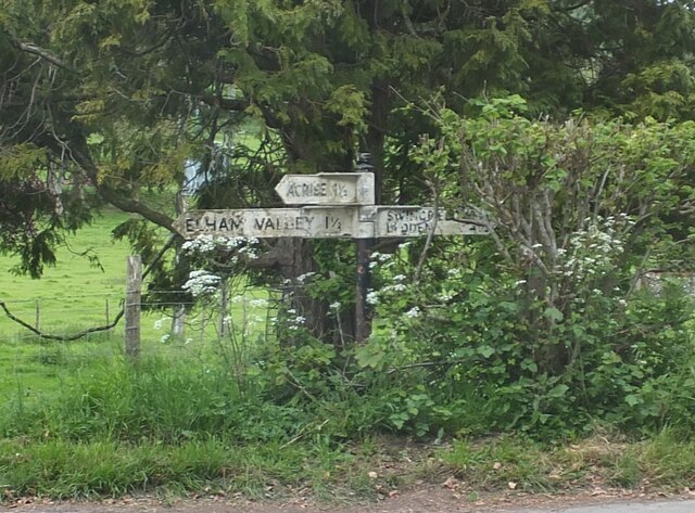
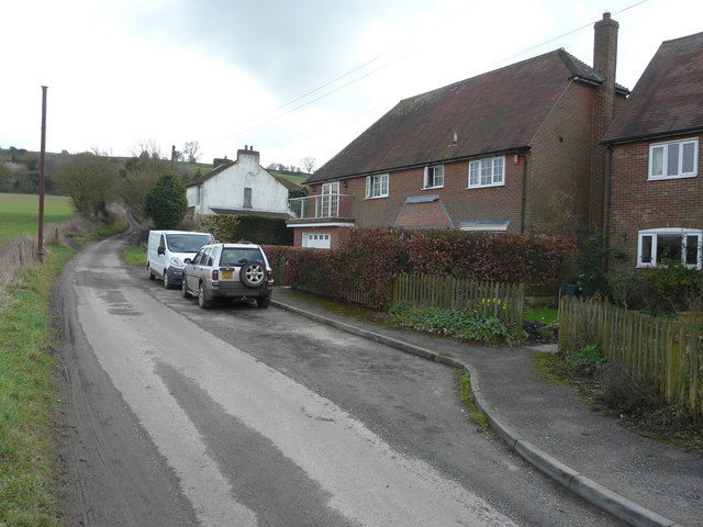
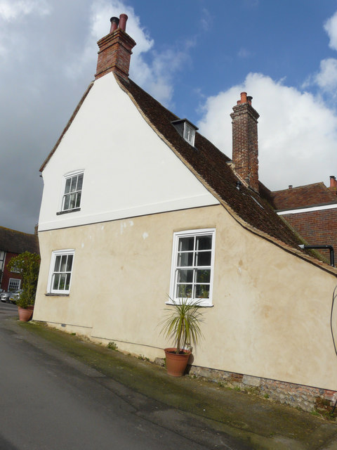
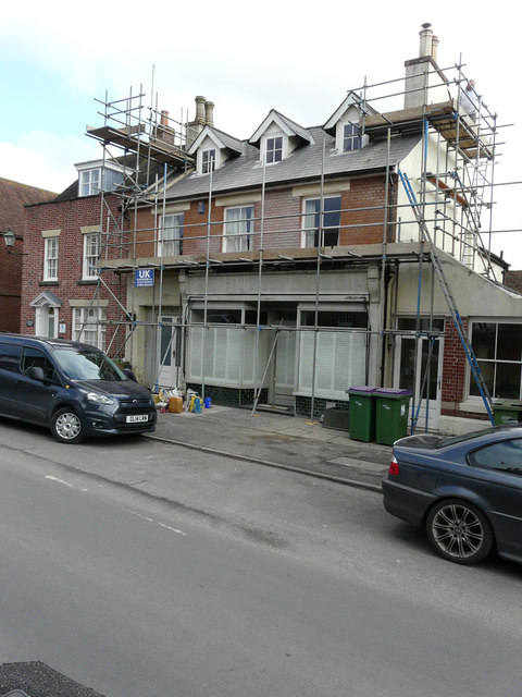
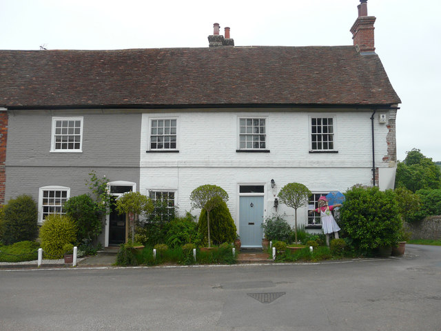
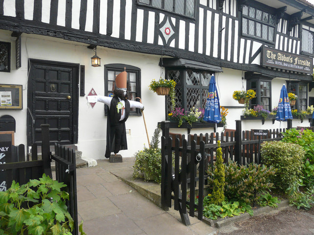
Pierceley Wood Images
Images are sourced within 2km of 51.162769/1.1274359 or Grid Reference TR1845. Thanks to Geograph Open Source API. All images are credited.


Pierceley Wood is located at Grid Ref: TR1845 (Lat: 51.162769, Lng: 1.1274359)
Administrative County: Kent
District: Shepway
Police Authority: Kent
What 3 Words
///picnic.driveways.oils. Near Wootton, Kent
Nearby Locations
Related Wikis

Wingmore
Wingmore is a small village between Canterbury and Folkestone in Kent, England. It is situated in the Elham Valley approximately halfway between the larger...
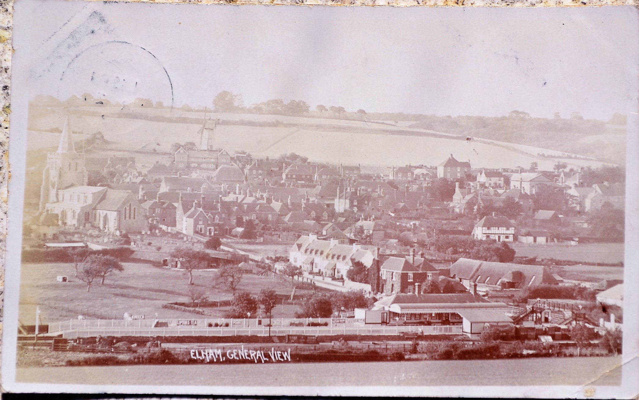
Elham railway station
Elham railway station is a disused railway station on the Elham Valley Railway which served the village of Elham in Kent and the surrounding villages....

Elham, Kent
Elham () is a village and civil parish in East Kent situated approximately 9 miles (14 km) south of Canterbury and 5 miles (8 km) north west of Folkestone...
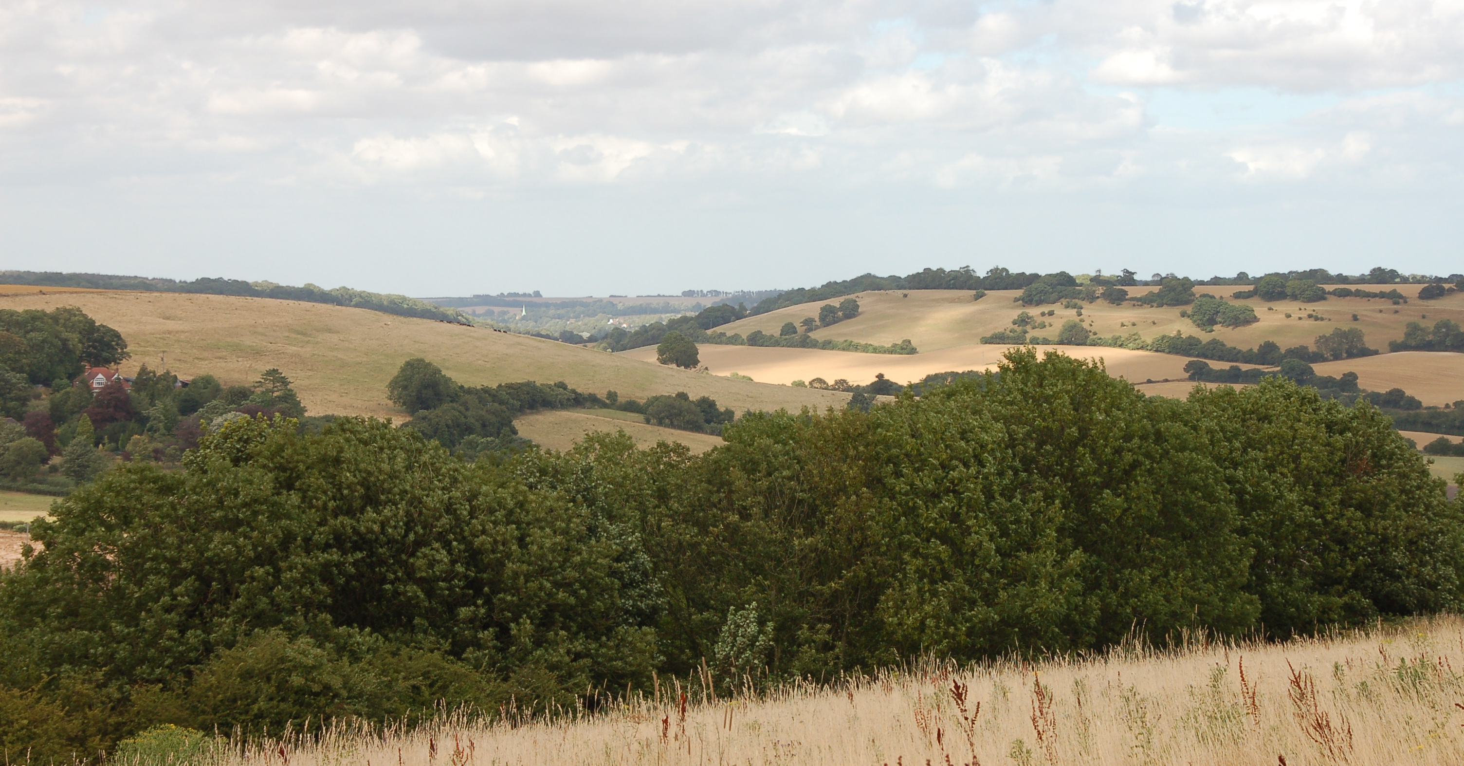
Elham Valley
The Elham Valley is a chalk valley carved by the River Nailbourne situated in the North Downs in East Kent. The valley is named after the settlement of...
Nearby Amenities
Located within 500m of 51.162769,1.1274359Have you been to Pierceley Wood?
Leave your review of Pierceley Wood below (or comments, questions and feedback).