Allotment Plantation
Wood, Forest in Norfolk North Norfolk
England
Allotment Plantation

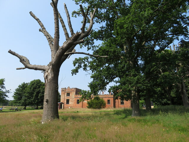
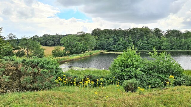
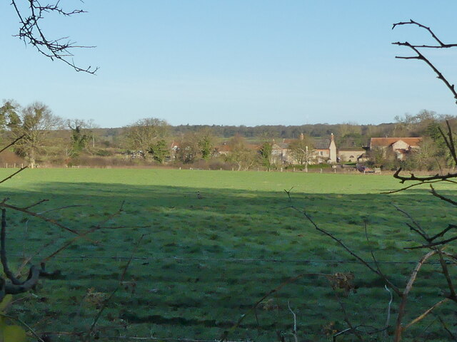
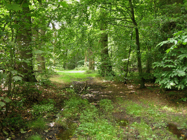
Allotment Plantation, located in Norfolk, is a sprawling woodland area known for its diverse flora and fauna. Covering a vast expanse of land, this plantation is a haven for nature enthusiasts and offers a tranquil escape from the hustle and bustle of urban life.
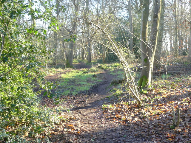
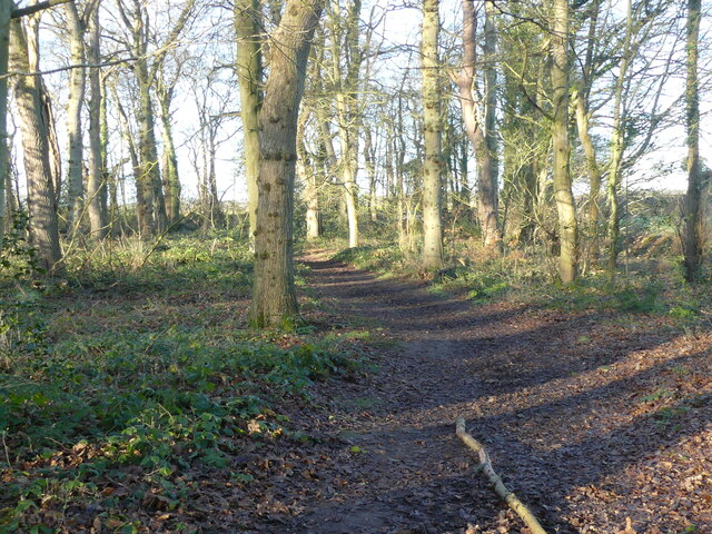
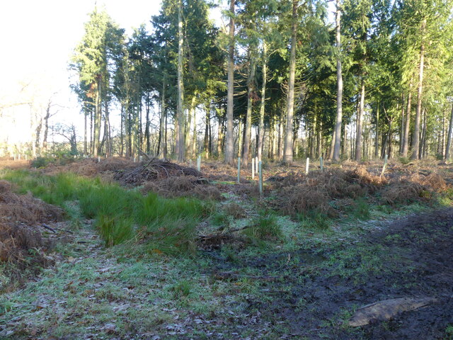
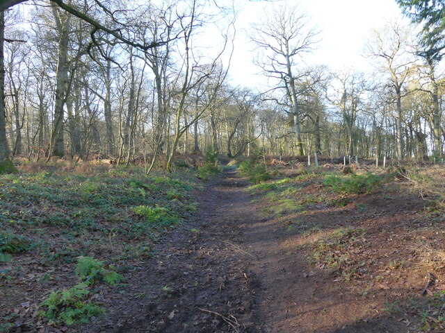
The plantation is primarily made up of woodlands and forests, characterized by a mix of deciduous and coniferous trees. The trees provide a rich canopy that offers shade during the summer months and a vibrant display of colors during the autumn season. Oak, beech, and birch trees are among the prominent species found here, while pine and spruce trees contribute to the variety of the landscape.
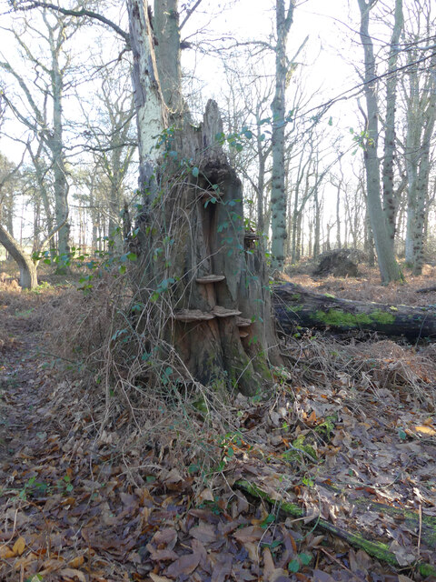
The undergrowth of the plantation is teeming with a wide array of plant species, including ferns, mosses, and wildflowers. This abundance of vegetation creates a diverse ecosystem that supports numerous animal species. Visitors to the plantation may spot woodland birds such as woodpeckers, owls, and songbirds, as well as mammals like deer, foxes, and squirrels.
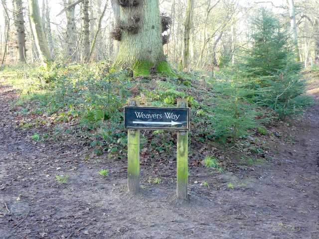
Allotment Plantation is a popular destination for nature walks, hiking, and picnics. The plantation offers well-maintained trails that wind through the woodland, allowing visitors to explore the beauty of the area at their own pace. Additionally, there are designated picnic areas where visitors can relax and enjoy the peaceful surroundings.
In conclusion, Allotment Plantation in Norfolk is a picturesque woodland area that showcases the natural beauty of the region. With its diverse flora and fauna, it offers a serene environment for outdoor activities and serves as a valuable habitat for various wildlife species.
If you have any feedback on the listing, please let us know in the comments section below.
Allotment Plantation Images
Images are sourced within 2km of 52.89869/1.2493203 or Grid Reference TG1838. Thanks to Geograph Open Source API. All images are credited.


Allotment Plantation is located at Grid Ref: TG1838 (Lat: 52.89869, Lng: 1.2493203)
Administrative County: Norfolk
District: North Norfolk
Police Authority: Norfolk
What 3 Words
///rises.congested.famines. Near Cromer, Norfolk
Nearby Locations
Related Wikis

Felbrigg Hall
Felbrigg Hall is a 17th-century English country house near the village of that name in Norfolk. Part of a National Trust property, the unaltered 17th-century...

St Margaret's Church, Felbrigg
St Margaret's Church is a Grade II* listed parish church in the Church of England Diocese of Norwich in Felbrigg, Norfolk. == History == The church is...

Aylmerton
Aylmerton is a village in the county of Norfolk, England. It is in the area of North Norfolk and lies 2.2 miles (3.5 km) south of the North Sea, 3.2 miles...

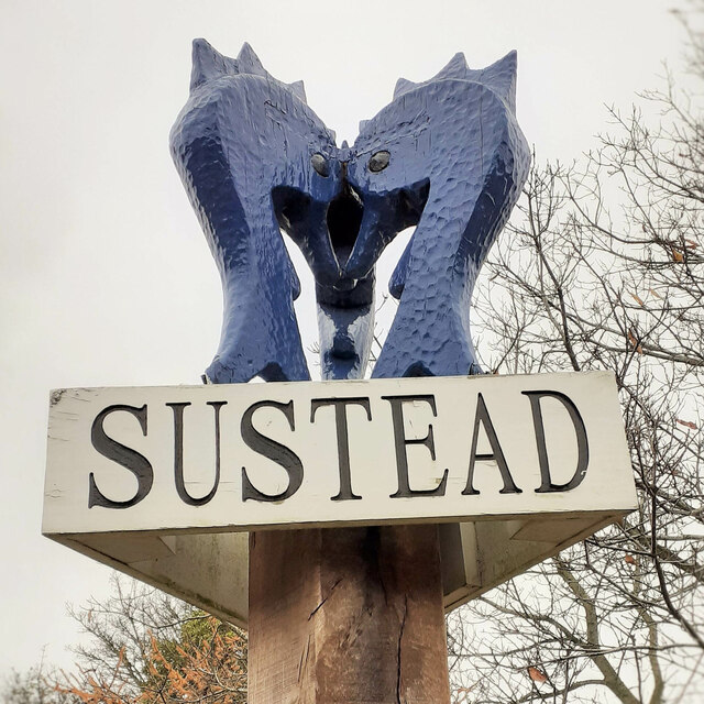
Sustead
Sustead is a small village and parish in the county of Norfolk, England, about four miles south-west of Cromer. The parish also includes the villages of...

Metton, Norfolk
Metton is a small village and former civil parish, now in the parish of Sustead, in the North Norfolk district, in the county of Norfolk, England. The...
Felbrigg Woods
Felbrigg Woods is a 164.6-hectare (407-acre) biological Site of Special Scientific Interest south-west of Cromer in Norfolk. It is the main part of the...

Gresham, Norfolk
Gresham is a village and civil parish in North Norfolk, England, five miles (8 km) south-west of Cromer. A predominantly rural parish, Gresham centres...

Gresham Castle
Gresham Castle is located south of the village of Gresham in the north of the English county of Norfolk. The medieval castle was actually a fortified manor...
Nearby Amenities
Located within 500m of 52.89869,1.2493203Have you been to Allotment Plantation?
Leave your review of Allotment Plantation below (or comments, questions and feedback).