Furze Meadow
Wood, Forest in Norfolk South Norfolk
England
Furze Meadow
Furze Meadow, located in Norfolk, England, is a picturesque wood and forest area renowned for its natural beauty and diverse ecosystems. Covering an extensive area of land, the meadow is home to an abundance of plant and animal species, making it a popular destination for nature enthusiasts and hikers.
The meadow is characterized by its dense woodlands, which consist predominantly of native deciduous trees such as oak, beech, and birch. These trees create a stunning canopy that provides shade and shelter for a variety of flora and fauna. Additionally, the forest floor is adorned with a rich carpet of ferns, wildflowers, and moss, adding to the area's charm.
Walking through Furze Meadow, visitors can encounter a wide range of wildlife. The woodlands are teeming with birds, including thrushes, woodpeckers, and owls, whose soothing calls can be heard echoing through the trees. Squirrels and rabbits can also be spotted darting across the forest floor, while badgers and foxes may be glimpsed in the quieter parts of the meadow.
For those seeking a peaceful retreat, Furze Meadow offers several walking trails and picnic areas. The well-maintained paths wind through the woodlands, providing visitors with an opportunity to immerse themselves in the tranquil surroundings and enjoy the fresh air. As the seasons change, the meadow showcases a stunning display of colors, with vibrant autumn foliage and delicate spring blossoms.
In conclusion, Furze Meadow in Norfolk is a captivating wood and forest area, offering visitors a chance to explore its diverse ecosystems, observe wildlife, and revel in the beauty of nature.
If you have any feedback on the listing, please let us know in the comments section below.
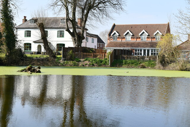
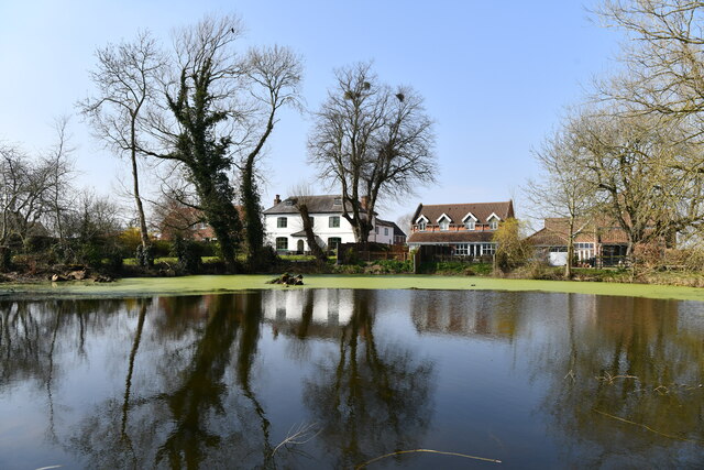
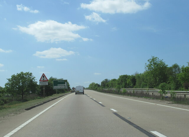
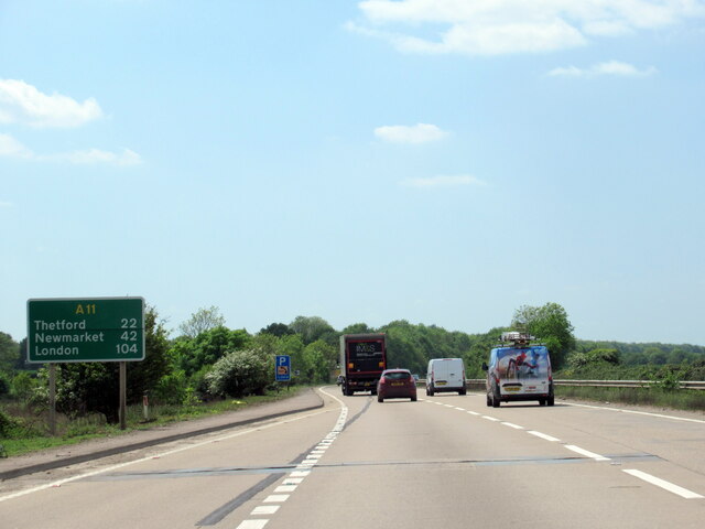
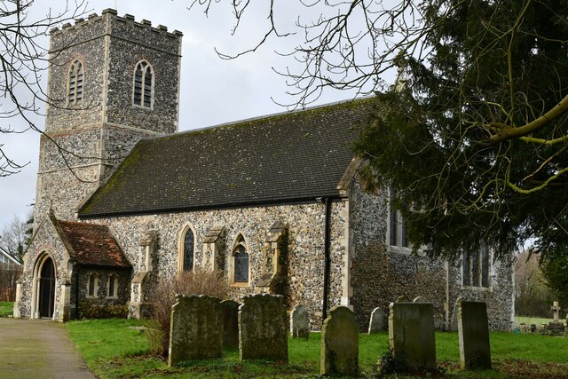
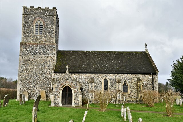
Furze Meadow Images
Images are sourced within 2km of 52.582742/1.2164354 or Grid Reference TG1803. Thanks to Geograph Open Source API. All images are credited.


Furze Meadow is located at Grid Ref: TG1803 (Lat: 52.582742, Lng: 1.2164354)
Administrative County: Norfolk
District: South Norfolk
Police Authority: Norfolk
What 3 Words
///putts.native.seaside. Near Hethel, Norfolk
Nearby Locations
Related Wikis

Mulbarton, Norfolk
Mulbarton is a village and civil parish located south of Norwich in the English county of Norfolk. It covers an area of 5.34 km2 (2.06 sq mi).The place...

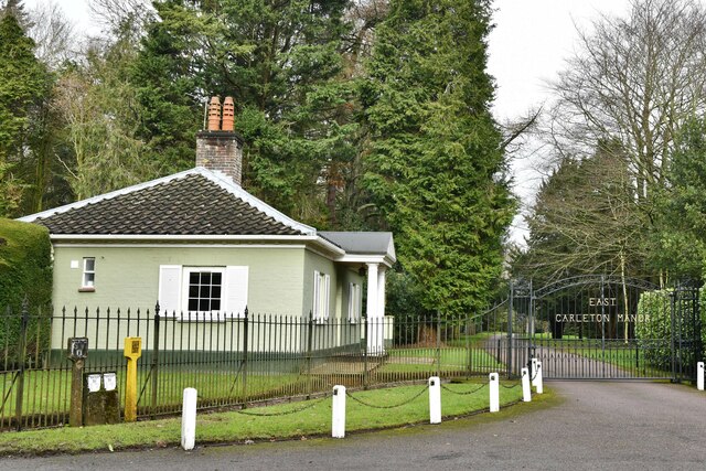
East Carleton
East Carleton is a village and civil parish in the English county of Norfolk. The village is located 6.3 kilometres (3.9 mi) east of nearby Wymondham and...

Hethersett railway station
Hethersett was a railway station near Hethersett, Norfolk. == History == The Bill for the Norwich & Brandon Railway (N&BR) received Royal Assent on 10...

Ketteringham
Ketteringham is a village and civil parish in the English county of Norfolk. The parish covers an area of 6.50 km2 (2.51 sq mi) and had a population of...

Intwood
Intwood is a village and former civil parish, now in the parish of Keswick and Intwood, in the South Norfolk district, in the county of Norfolk, England...

Forehoe and Henstead Rural District
Forehoe and Henstead Rural Districts were adjacent rural districts in Norfolk, England from 1894 to 1935.They were formed under the Local Government Act...

Swardeston
Swardeston is a village four miles (6 km) south of Norwich in Norfolk, England, on high ground above the Tas valley. It covers an area of 3.95 km2 (1.53...

Norwich CEYMS F.C.
Norwich Church of England Young Men's Society Football Club, commonly called Norwich CEYMS, is a football club based in Swardeston, near Norwich, in Norfolk...
Nearby Amenities
Located within 500m of 52.582742,1.2164354Have you been to Furze Meadow?
Leave your review of Furze Meadow below (or comments, questions and feedback).