Burnt Plantation
Wood, Forest in Norfolk Broadland
England
Burnt Plantation

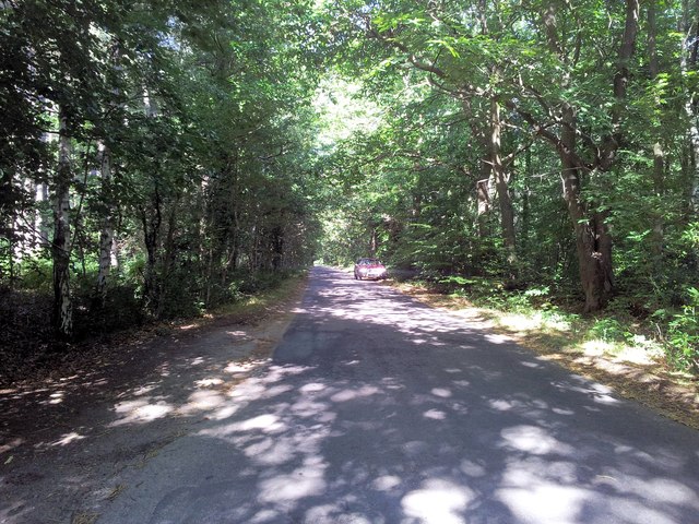
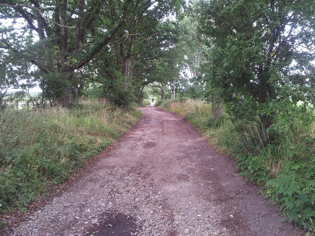
Burnt Plantation, located in Norfolk, is a wood or forest area that holds historical significance in the region. The name "Burnt Plantation" refers to the remnants of a former plantation that was destroyed in a fire, leaving behind a dense woodland landscape.
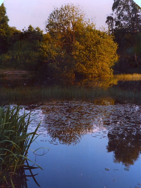
This woodland area covers a significant portion of Norfolk, offering a natural haven for wildlife and outdoor enthusiasts. The forest is characterized by a mix of deciduous and evergreen trees, creating a diverse and vibrant ecosystem. The tree species found here include oak, beech, birch, pine, and spruce.
The forest floor is covered in a thick carpet of moss, ferns, and wildflowers, further enhancing its natural beauty. The undergrowth provides a habitat for various animal species such as deer, foxes, rabbits, and numerous bird species that can be spotted among the branches.
The Burnt Plantation area has become a popular destination for nature lovers, hikers, and birdwatchers due to its tranquil and picturesque surroundings. There are several well-marked trails that wind through the forest, allowing visitors to explore and appreciate its beauty. Along the trails, there are occasional benches and picnic spots, providing opportunities for visitors to relax and immerse themselves in nature.
As a protected area, Burnt Plantation serves as an important conservation site, preserving the natural habitat and biodiversity of the region. Efforts are made to maintain the balance between human enjoyment and ecological preservation, ensuring that future generations can continue to appreciate and benefit from this remarkable woodland area.
If you have any feedback on the listing, please let us know in the comments section below.
Burnt Plantation Images
Images are sourced within 2km of 52.763071/1.2275983 or Grid Reference TG1723. Thanks to Geograph Open Source API. All images are credited.


Burnt Plantation is located at Grid Ref: TG1723 (Lat: 52.763071, Lng: 1.2275983)
Administrative County: Norfolk
District: Broadland
Police Authority: Norfolk
What 3 Words
///planet.unwanted.harmonica. Near Aylsham, Norfolk
Nearby Locations
Related Wikis

Cawston and Marsham Heaths
Cawston and Marsham Heaths is a 116.7-hectare (288-acre) biological Site of Special Scientific Interest north of Norwich in Norfolk. These heaths are dominated...

The Mermaid (river)
The Mermaid (river) is a minor tributary of the River Bure in Norfolk, England, and is approximately 6 kilometres (3.7 mi) in length. == Course == The...
Marsham, Norfolk
Marsham is a village and civil parish in the English county of Norfolk, about 10 miles (16 km) north of Norwich. It covers an area of 7.40 km2 (2.86 sq...

Bolwick Hall
Bolwick Hall is located at Marsham, Norfolk, 1 mile south of Aylsham. == History == The hall is recorded in the Domesday Book of 1086 and given to King...
Nearby Amenities
Located within 500m of 52.763071,1.2275983Have you been to Burnt Plantation?
Leave your review of Burnt Plantation below (or comments, questions and feedback).